North Rauceby Heath
Downs, Moorland in Lincolnshire North Kesteven
England
North Rauceby Heath
North Rauceby Heath is a picturesque area located in Lincolnshire, England, known for its rolling downs and expansive moorlands. As part of the Lincolnshire Wolds, it is nestled amidst a breathtaking landscape that combines open fields, woodlands, and gently sloping hills.
The heath is characterized by its diverse flora and fauna, with a rich variety of plant species such as heather, gorse, and bracken covering the moorlands. These vibrant plants create a striking contrast against the backdrop of the surrounding greenery. The area is also home to several small ponds and streams, adding to its natural beauty.
North Rauceby Heath offers numerous opportunities for outdoor activities and exploration. Visitors can enjoy long walks or hikes along the well-maintained trails that crisscross the area, providing stunning views of the surrounding countryside. The heath is a haven for birdwatchers, as it attracts a wide range of avian species, including skylarks, stonechats, and curlews.
In addition to its natural charm, North Rauceby Heath has historical significance. The surrounding area is dotted with ancient burial mounds and archaeological sites, further adding to its allure. Visitors can immerse themselves in the rich history of the region by exploring these remnants of the past.
Overall, North Rauceby Heath in Lincolnshire is a haven for nature enthusiasts and history buffs alike. Its stunning landscapes, diverse wildlife, and historical sites make it a must-visit destination for anyone seeking a tranquil and captivating experience in the heart of England.
If you have any feedback on the listing, please let us know in the comments section below.
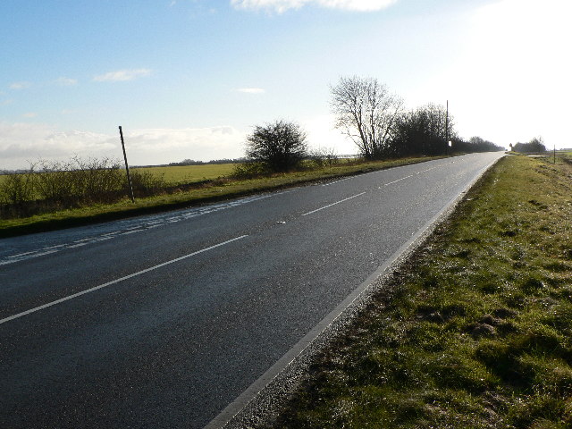
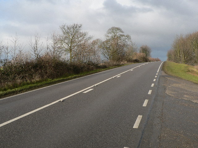
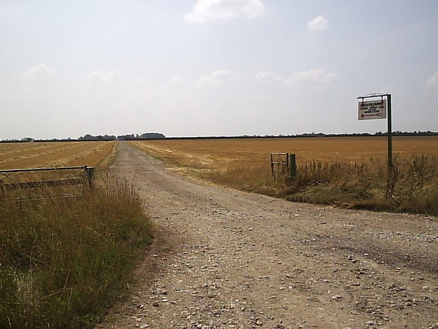
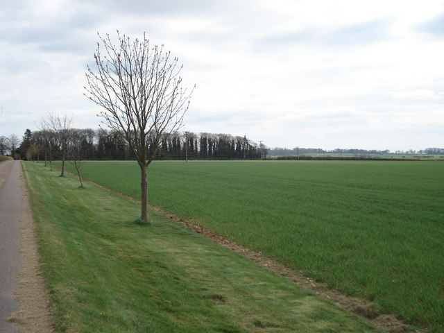
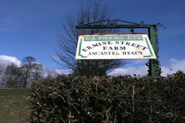
North Rauceby Heath Images
Images are sourced within 2km of 53.014965/-0.50415611 or Grid Reference TF0047. Thanks to Geograph Open Source API. All images are credited.


North Rauceby Heath is located at Grid Ref: TF0047 (Lat: 53.014965, Lng: -0.50415611)
Administrative County: Lincolnshire
District: North Kesteven
Police Authority: Lincolnshire
What 3 Words
///tastes.legroom.guidebook. Near Cranwell, Lincolnshire
Nearby Locations
Related Wikis

North Rauceby
North Rauceby is a village and civil parish in the North Kesteven district of Lincolnshire, England. It is situated 4 miles (6 km) north-west from Sleaford...

Central Flying School
The Central Flying School (CFS) is the Royal Air Force's primary institution for the training of military flying instructors. Established in 1912 at the...

RAF Cranwell
Royal Air Force Cranwell or more simply RAF Cranwell (ICAO: EGYD) is a Royal Air Force station in Lincolnshire, England, close to the village of Cranwell...

No. 16 Squadron RAF
Number 16 Squadron Royal Air Force, nicknamed 'the Saints', is a flying squadron of the Royal Air Force (RAF) who currently provide elementary flying training...
Related Videos
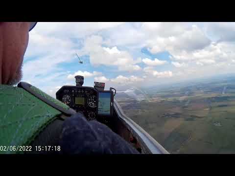
Aerotow in a Grob Astir
An Aerotow from a Super Falke out RAF Cranwell in summer 22. The Astir is a rare one with aftermarket winglets. (G-DDRW) ...
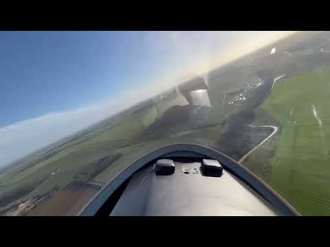
Landing at RAF Cranwell in the Astir.
Landing the Grob 102 Astir glider at RAF Cranwell.

Lincolnshire - it is a bit flat…
Gliding over Lincolnshire.

#SHORTS - Airbus A400M Atlas & C130J Hercules in Formation Flypast at RAF Cranwell
SHORTS #AirbusA400M #atlas #RAFCranwell #FlypastPractice #c130hercules #SHORTS - Airbus A400M Atlas & C130J ...
Nearby Amenities
Located within 500m of 53.014965,-0.50415611Have you been to North Rauceby Heath?
Leave your review of North Rauceby Heath below (or comments, questions and feedback).