Chertsey Common
Downs, Moorland in Surrey Runnymede
England
Chertsey Common
Chertsey Common, located in Surrey, England, is a picturesque and historically significant area of downs and moorland. Covering an area of approximately 200 acres, it is a designated Site of Special Scientific Interest (SSSI), recognized for its unique ecological value and diverse wildlife.
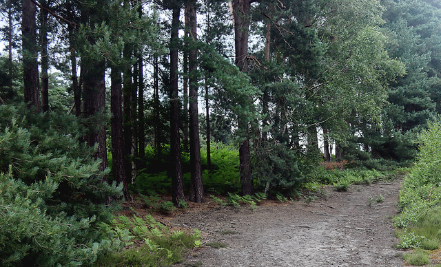
The common is characterized by its gently rolling hills and open grasslands, interspersed with scattered patches of heather and gorse. These habitats provide a home for a variety of plant species, including purple moor grass, devil's-bit scabious, and heath milkwort. The common is particularly renowned for its vibrant displays of wildflowers during the spring and summer months.
In addition to its natural beauty, Chertsey Common holds historical significance. It has been used as common land since medieval times, serving as a vital resource for local communities. Over the years, it has been utilized for grazing livestock, gathering firewood, and even as a military training ground during the World Wars.
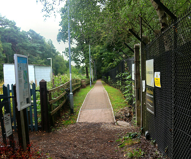
The common also offers recreational opportunities for visitors. It features a network of footpaths and bridleways that allow for leisurely walks and horse riding. The expansive open spaces are ideal for picnics, birdwatching, and nature photography.
Chertsey Common, with its combination of natural beauty and historical importance, is a valuable asset to Surrey's landscape. Its protection as an SSSI ensures the preservation of its unique ecosystems for future generations to enjoy and appreciate.
If you have any feedback on the listing, please let us know in the comments section below.
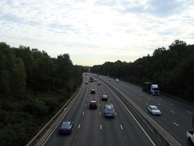
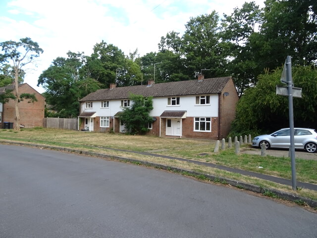
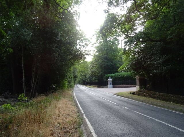
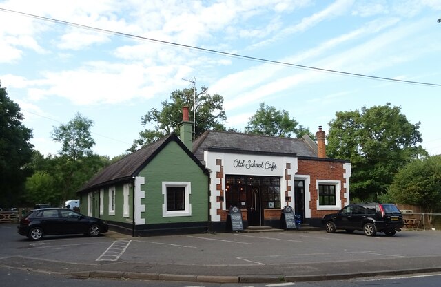
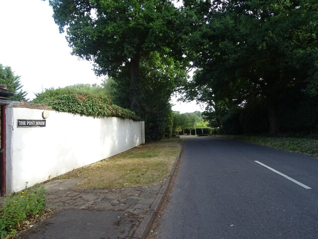
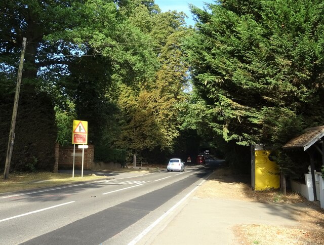
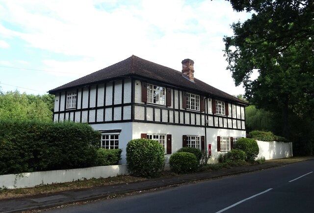
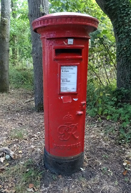
Chertsey Common Images
Images are sourced within 2km of 51.382897/-0.57085675 or Grid Reference SU9965. Thanks to Geograph Open Source API. All images are credited.
Chertsey Common is located at Grid Ref: SU9965 (Lat: 51.382897, Lng: -0.57085675)
Administrative County: Surrey
District: Runnymede
Police Authority: Surrey
What 3 Words
///join.trips.trees. Near Virginia Water, Surrey
Nearby Locations
Related Wikis

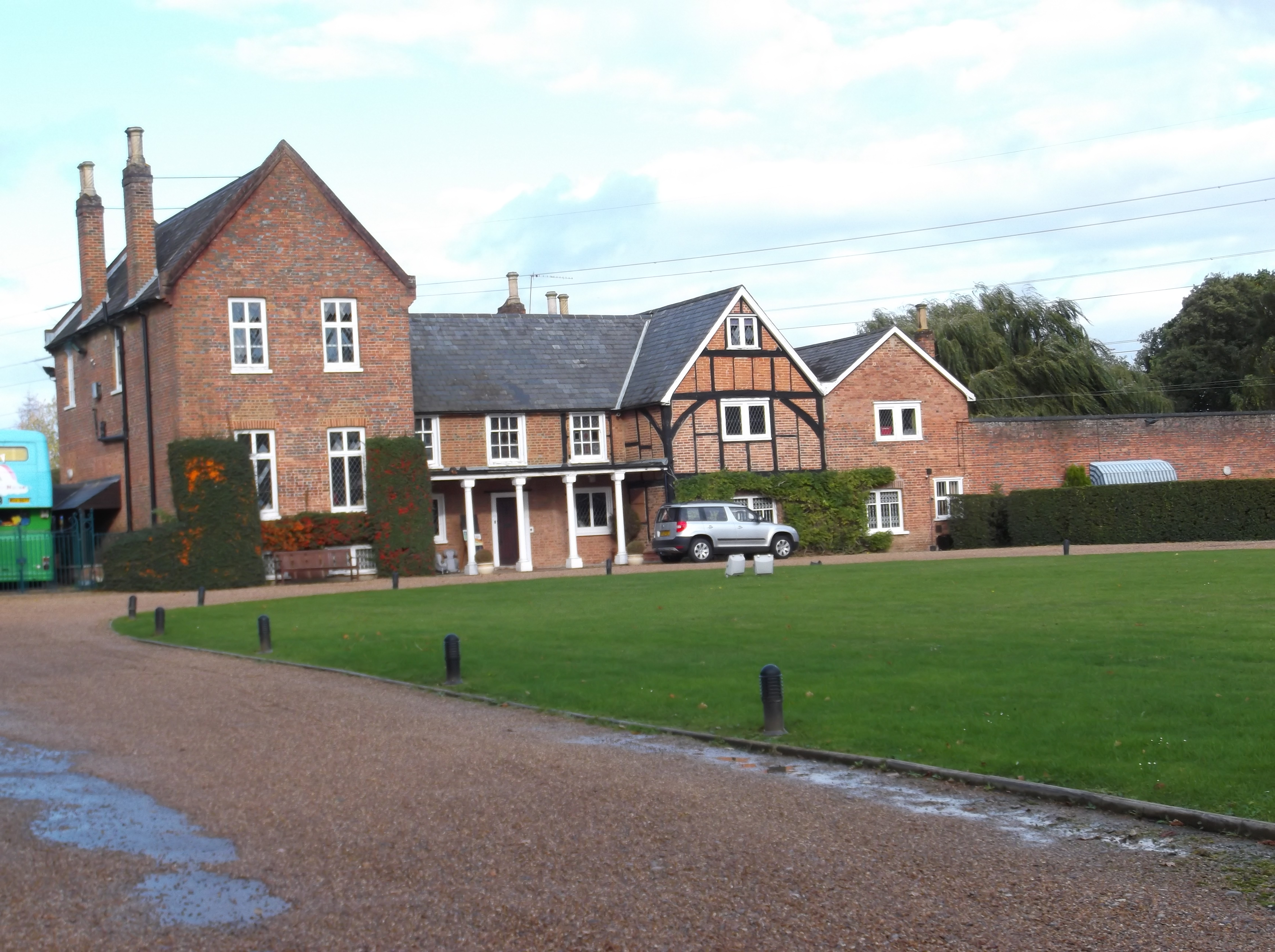
Longcross
Longcross is a village in the Borough of Runnymede in Surrey, England, approximately 34.6 kilometres (21.5 mi) west of central London. Its name is thought...
Military Vehicles and Engineering Establishment
The Military Vehicles and Engineering Establishment (MVEE) was a British defence research unit on Chobham Lane, Chertsey in Surrey. It was responsible...
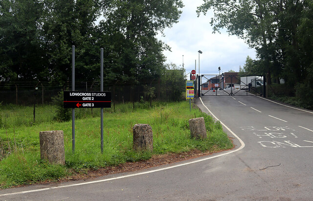
Longcross Studios
Longcross Film Studios is a film and television production facility in Longcross, Surrey, approximately 25 miles (40 km) west of central London. Built...
Foxhills Golf Club
Foxhills is a golf club and resort located in Ottershaw, Surrey, United Kingdom. It was established in 1975 and named for Charles James Fox on whose former...

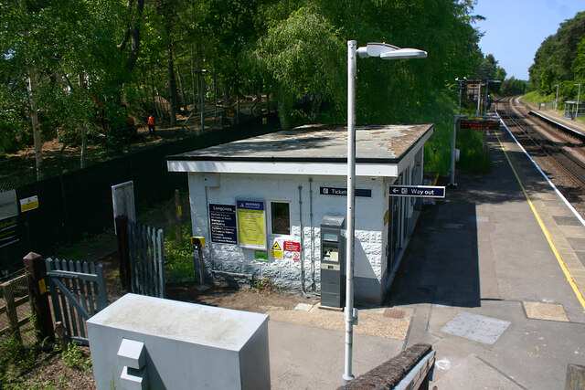
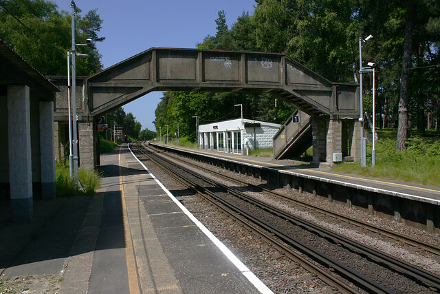
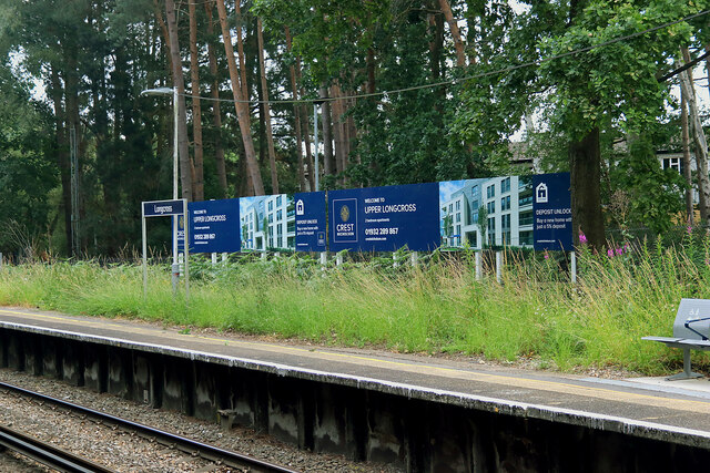
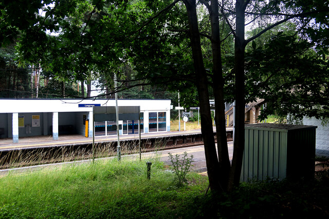
Longcross railway station
Longcross railway station is next to Longcross Garden Village (Upper Longcross) in Surrey, England. It straddles the former parishes of Virginia Water...

Riverside Walk, Virginia Water
Riverside Walk is a 21.2-hectare (52-acre) local nature reserve in Virginia Water, Surrey. It is owned by Runnymede Borough Council and managed by The...
Lyne, Surrey
Lyne is a village in the Borough of Runnymede in Surrey, England, approximately 32 km (20 mi) southwest of central London. In the early 13th century, the...

Wentworth Estate
The Wentworth Estate is a private estate of large houses set in about 7 square kilometres (2.7 sq mi) woodland, in Runnymede, Surrey. It was commenced...
Nearby Amenities
Located within 500m of 51.382897,-0.57085675Have you been to Chertsey Common?
Leave your review of Chertsey Common below (or comments, questions and feedback).