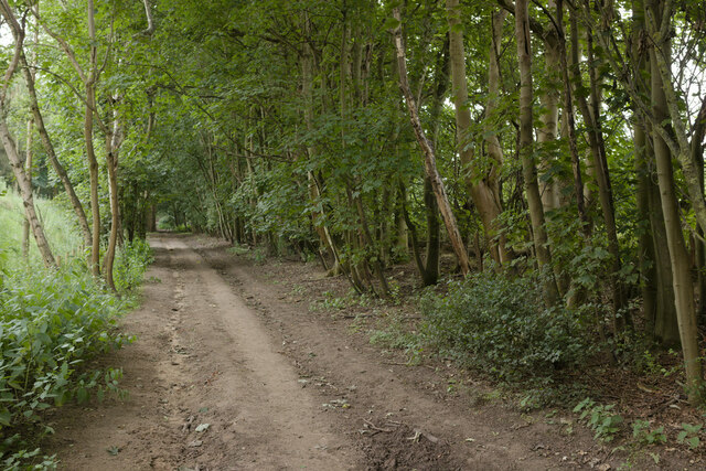
Beckerings Park
Downs, Moorland in Bedfordshire
England
Beckerings Park

The requested URL returned error: 429 Too Many Requests
If you have any feedback on the listing, please let us know in the comments section below.
Beckerings Park Images
Images are sourced within 2km of 52.015697/-0.55403177 or Grid Reference SP9936. Thanks to Geograph Open Source API. All images are credited.


Beckerings Park is located at Grid Ref: SP9936 (Lat: 52.015697, Lng: -0.55403177)
Unitary Authority: Central Bedfordshire
Police Authority: Bedfordshire
What 3 Words
///modules.bend.reclined. Near Ridgmont, Bedfordshire
Nearby Locations
Related Wikis
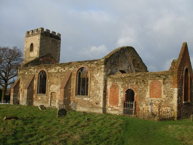
All Saints Church, Segenhoe
All Saints Church, Segenhoe is a ruined medieval church located near the village of Ridgmont, Bedfordshire. It contains architectural details that range...

Ridgmont
Ridgmont is a small village and civil parish in Bedfordshire, England. It is located beside junction 13 of the M1 motorway, and close to Milton Keynes...

Steppingley
Steppingley is a rural village and civil parish in Bedfordshire, England. It stands on high ground in the centre of a small parish of about 562 ha on...
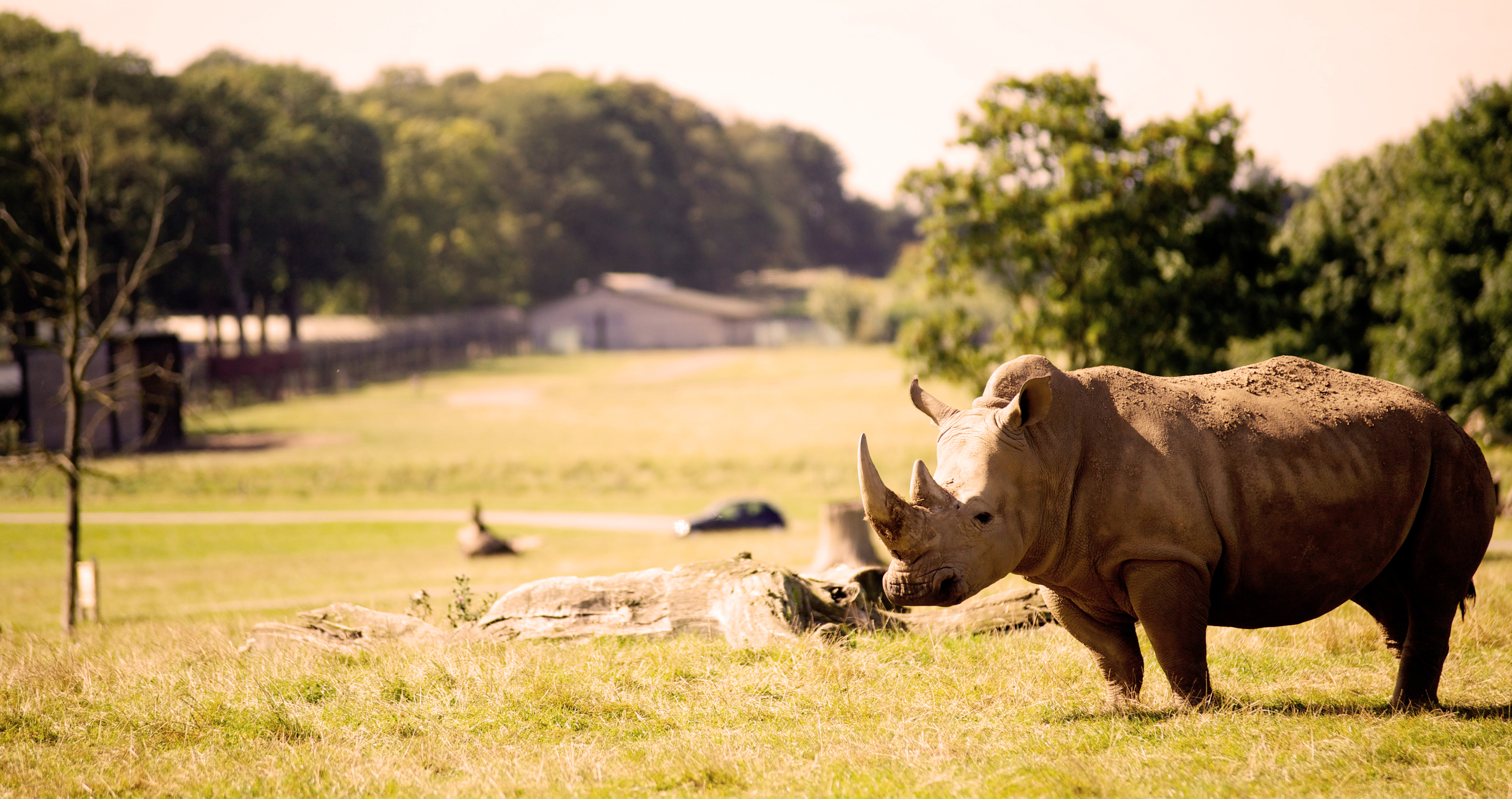
Woburn Safari Park
Woburn Safari Park is a safari park located in Woburn, Bedfordshire, England. Visitors to the park can drive through exhibits, which contain species such...
Nearby Amenities
Located within 500m of 52.015697,-0.55403177Have you been to Beckerings Park?
Leave your review of Beckerings Park below (or comments, questions and feedback).