Frieston Heath

Downs, Moorland in Lincolnshire South Kesteven

England

Frieston Heath

Ermine Street Roman Road Looking N towards Byard's Leap
Ermine Street Roman Road Credit: Ian Carrington

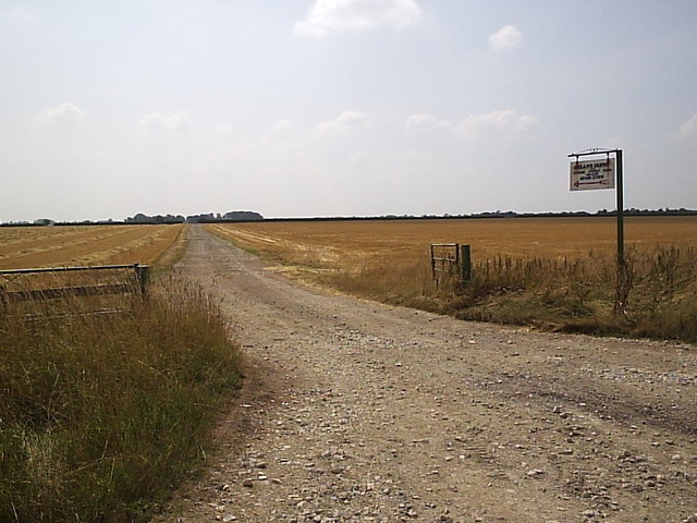
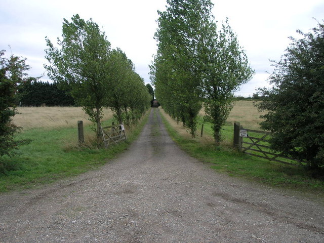
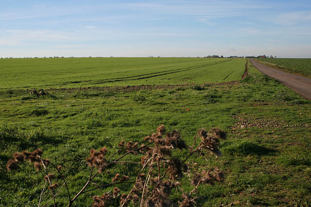
Frieston Heath is a picturesque area located in the county of Lincolnshire, England. It is characterized by its diverse landscape, encompassing both downs and moorland. Covering an area of approximately 500 acres, Frieston Heath is a haven for nature enthusiasts and offers stunning views of the surrounding countryside.

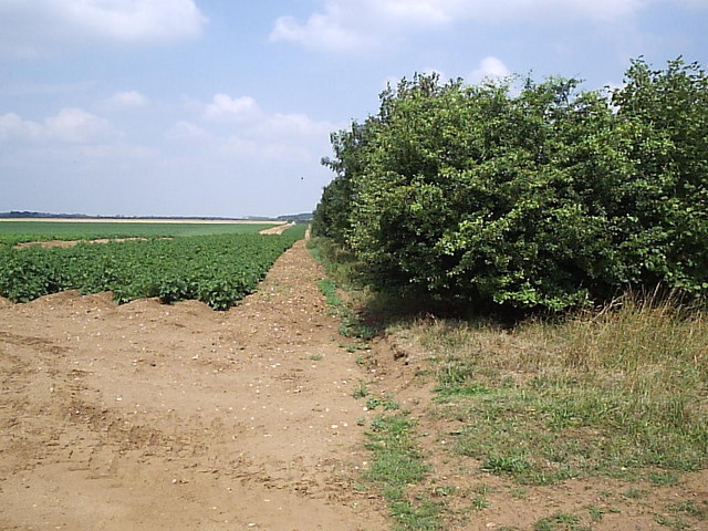
The downs of Frieston Heath are marked by their rolling hills and open grasslands. The area is abundant in a variety of flora and fauna, including wildflowers such as bluebells and orchids, which add splashes of color to the landscape. The downs are also home to several species of birds, providing an opportunity for birdwatching enthusiasts to spot a wide array of avian species.

In contrast, the moorland section of Frieston Heath offers a more rugged and untamed terrain. Here, visitors can explore vast expanses of heather-covered land, interspersed with small pools and streams. The moorland is known for its unique ecosystem, supporting a range of plant species adapted to the acidic soil conditions. It is also a habitat for various wildlife, including rabbits, foxes, and even the occasional deer.

Frieston Heath attracts visitors throughout the year, who come to enjoy the natural beauty and tranquility it offers. The area provides numerous walking trails, allowing visitors to explore the downs and moorland at their own pace. Its proximity to other attractions, such as the historic city of Lincoln and the Lincolnshire Wolds, makes it a popular destination for tourists seeking a combination of natural and cultural experiences.

If you have any feedback on the listing, please let us know in the comments section below.

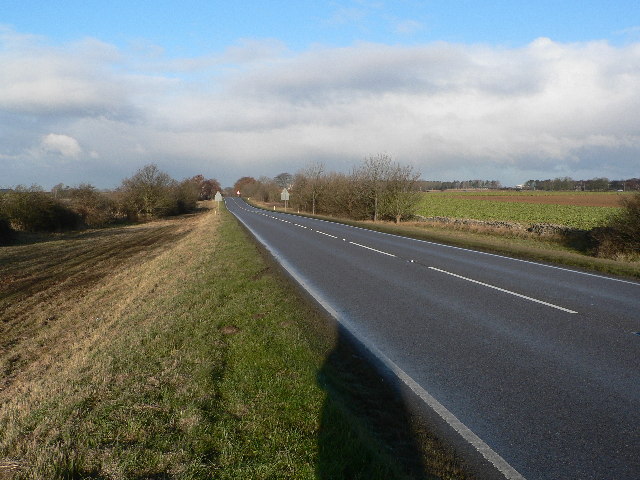
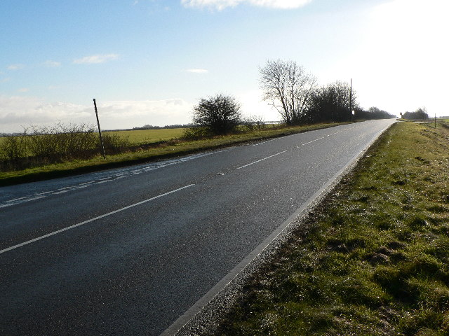
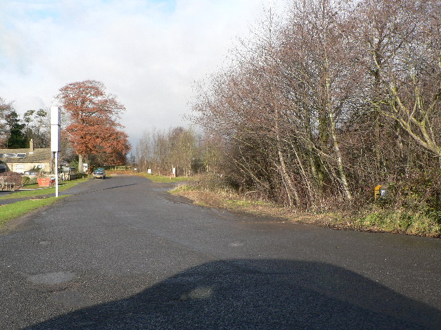
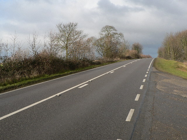
Frieston Heath Images

Images are sourced within 2km of 53.020763/-0.54686339 or Grid Reference SK9748. Thanks to Geograph Open Source API. All images are credited.

Ermine Street Roman Road Looking N towards Byard's Leap
Ermine Street Roman Road
Looking N towards Byard's Leap
Ermine Street Roman Road Looking S - the modern designation of B6403 seems very temporary...
Ermine Street Roman Road
Looking S - the modern designation of B6403 seems very temporary...
Ermine Street Roman Road Looking N. Creating a safer modern junction with the A17(T) left this sealed "stub" of Ermine Street at Byard's Leap
Ermine Street Roman Road
Looking N. Creating a safer modern junction with the A17(T) left this sealed "stub" of Ermine Street at Byard's Leap
Ermine Street Roman Road AKA High Dike and B6403 in this section, here looking N at the entrance to Ermine Street Farm
Ermine Street Roman Road
AKA High Dike and B6403 in this section, here looking N at the entrance to Ermine Street Farm
Ermine Street Roman Road Looking S from the entrance to Ermine Street Farm
Ermine Street Roman Road
Looking S from the entrance to Ermine Street Farm
Ermine Street Roman Road Looking N from the Church Lane junction
Ermine Street Roman Road
Looking N from the Church Lane junction
Byard's Leap According to local legend, hundreds of years ago, an ugly old witch called Meg and her black cat were held responsible for failing crops and dying cattle on Ancaster Heath. A local knight 'Big Jim' and his trusty steed Byard approached the witch's hovel .... she attacked them and sank her claws into Byard who made a prodigious leap, greater than any horse had ever made before. The witch fell off whereupon Big Jim dismounted and killed her. The four horseshoes mark the spot where Byard landed and has been known as 'Byard's Leap' ever since. A true story?
Byard's Leap
According to local legend, hundreds of years ago, an ugly old witch called Meg and her black cat were held responsible for failing crops and dying cattle on Ancaster Heath. A local knight 'Big Jim' and his trusty steed Byard approached the witch's hovel .... she attacked them and sank her claws into Byard who made a prodigious leap, greater than any horse had ever made before. The witch fell off whereupon Big Jim dismounted and killed her. The four horseshoes mark the spot where Byard landed and has been known as 'Byard's Leap' ever since. A true story?
Long Track This long farm track leads to Ermine Street Farm which is more than a kilometre away from this entrance.
Long Track
This long farm track leads to Ermine Street Farm which is more than a kilometre away from this entrance.
Potatoes and Trees The narrow plantation of trees runs for about half the length of this square.  It appears to be either a wind break or game cover, or both.
Potatoes and Trees
The narrow plantation of trees runs for about half the length of this square. It appears to be either a wind break or game cover, or both.
Caythorpe Crossroads Caythorpe Heath lies beyond these crossroads.
Caythorpe Crossroads
Caythorpe Heath lies beyond these crossroads.
Changed Name Farm Hill Top Farm went by the name of Caythorpe Heath Farm according to the 1940s OS map.
Changed Name Farm
Hill Top Farm went by the name of Caythorpe Heath Farm according to the 1940s OS map.
Avenue Entrance This avenue of odd sized trees leads to Heath Farm.
Avenue Entrance
This avenue of odd sized trees leads to Heath Farm.
Elms Farm, Frieston Heath Lane The home of Caythorpe Equestrian Centre. The public road turns left to Lincolnshire Agricultural College just past the big stone barn and farm house. Round the corner it's called Pottergate Road but Friestone Lane continues as a farm road straight ahead. Look at the OS map to see the line of Pottergate Road, It is public road, farm track and footpath in turn.
Elms Farm, Frieston Heath Lane
The home of Caythorpe Equestrian Centre. The public road turns left to Lincolnshire Agricultural College just past the big stone barn and farm house. Round the corner it's called Pottergate Road but Friestone Lane continues as a farm road straight ahead. Look at the OS map to see the line of Pottergate Road, It is public road, farm track and footpath in turn.
Frieston Heath Lane Looking towards Elms Farm.
Frieston Heath Lane
Looking towards Elms Farm.
Frieston Heath Lane Looking towards Frieston Heath Farm. The Heath is a large flat area of land, about 80 metres above sea level, stretching from Barkstone north almost to Lincoln.
Frieston Heath Lane
Looking towards Frieston Heath Farm. The Heath is a large flat area of land, about 80 metres above sea level, stretching from Barkstone north almost to Lincoln.
Frieston Heath Lane Looking towards Frieston Heath Farm.
Frieston Heath Lane
Looking towards Frieston Heath Farm.
Frieston Heath
Frieston Heath
Giant field on Frieston Heath Looking northwards towards Frieston Heath Farm from Heath Lane.
Giant field on Frieston Heath
Looking northwards towards Frieston Heath Farm from Heath Lane.
Show me another place!

Frieston Heath is located at Grid Ref: SK9748 (Lat: 53.020763, Lng: -0.54686339)

Administrative County: Lincolnshire

District: South Kesteven

Police Authority: Lincolnshire

What 3 Words

///contracting.cloth.outdoor. Near Caythorpe, Lincolnshire

Related Wikis

Caythorpe Court

Caythorpe Court is a Grade II* listed former hunting lodge situated about one mile to the east of Caythorpe, Lincolnshire, England. It was originally built...
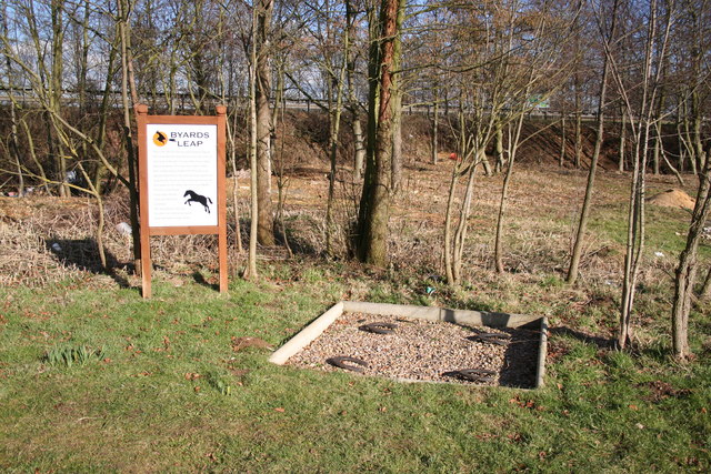
Byard's Leap

Byard's Leap is a hamlet in the North Kesteven district of Lincolnshire, England. It is situated approximately 3 miles (5 km) west from Cranwell, and is...

Caythorpe railway station

Caythorpe railway station was a station in Caythorpe, Lincolnshire. Built to serve the nearby village of the same name. It was on the Grantham and Lincoln...

Royal Air Force College Cranwell

The Royal Air Force College (RAFC) is the Royal Air Force military academy which provides initial training to all RAF personnel who are preparing to become...

Nearby Amenities

Located within 500m of 53.020763,-0.54686339
Frieston Heath Farm
Place: farm
Source: Bing
Lat/Long: 53.0192495/-0.5458175
Power: pole
Lat/Long: 53.0181895/-0.5463606
Power: pole
Lat/Long: 53.0174312/-0.5460951
The data included in this document is from www.openstreetmap.org. The data is made available under ODbL.

Have you been to Frieston Heath?

Leave your review of Frieston Heath below (or comments, questions and feedback).