Caythorpe Heath

Downs, Moorland in Lincolnshire South Kesteven

England

Caythorpe Heath

South Heath Lane
South Heath Lane Credit: Alex McGregor

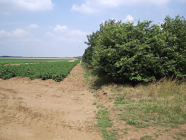
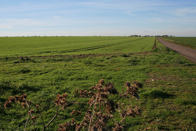
Caythorpe Heath is a small village located in the county of Lincolnshire, England. Situated on the edge of the Lincolnshire Wolds, it is known for its picturesque landscape and natural beauty. The village is surrounded by vast expanses of downs and moorland, offering stunning panoramic views of the rolling hills and open countryside.

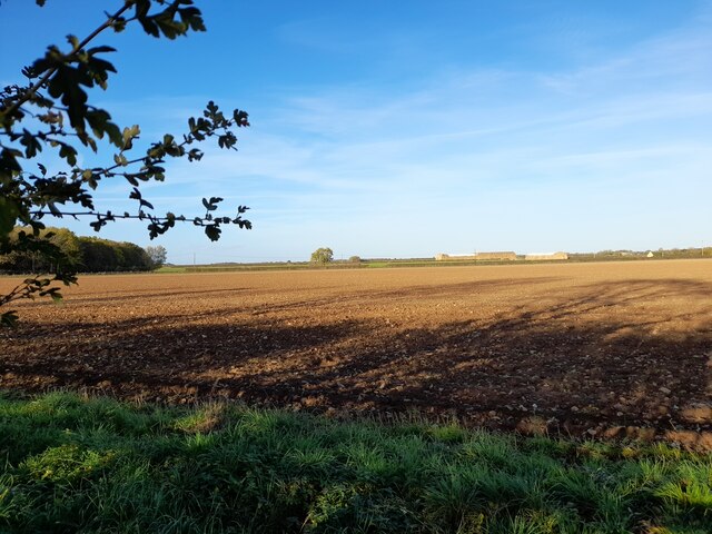
The heathland in Caythorpe is characterized by its unique flora and fauna, with a variety of plant species thriving in the sandy and acidic soils. Visitors can expect to see heather, gorse, and bracken covering the undulating terrain, providing a vibrant display of colors throughout the year. The heath is also home to a diverse range of wildlife, including rabbits, foxes, and various bird species.

The village itself is quaint and charming, with traditional stone cottages and a welcoming community. It boasts a rich history, with evidence of human settlement dating back to the Neolithic period. Today, the village offers a peaceful retreat for those seeking a break from the hustle and bustle of city life.

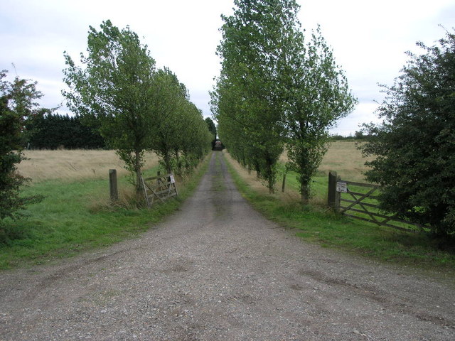
Caythorpe Heath is a popular destination for outdoor enthusiasts, offering numerous walking and cycling trails that crisscross the surrounding countryside. There are also ample opportunities for horse riding, with bridleways and equestrian facilities available nearby.

In summary, Caythorpe Heath is a tranquil village in Lincolnshire, known for its stunning downs and moorland. With its natural beauty and opportunities for outdoor activities, it is a haven for nature lovers and a place to escape and unwind.

If you have any feedback on the listing, please let us know in the comments section below.

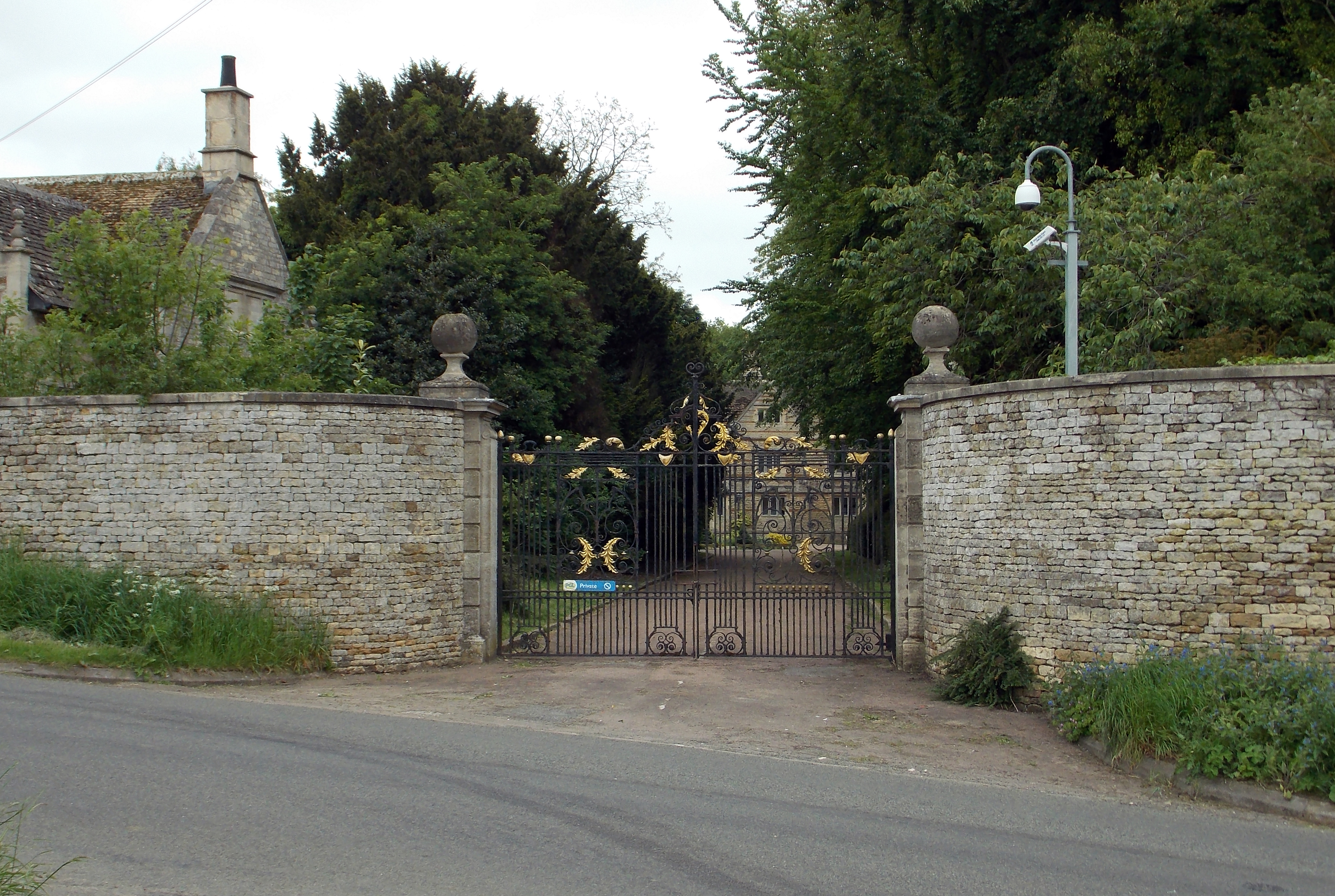
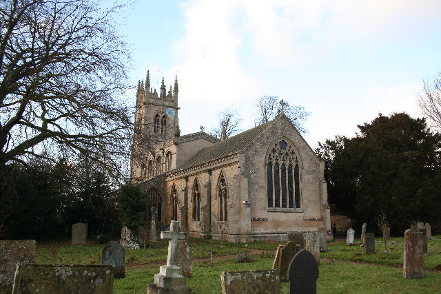
Caythorpe Heath Images

Images are sourced within 2km of 53.031171/-0.55997949 or Grid Reference SK9649. Thanks to Geograph Open Source API. All images are credited.

South Heath Lane
South Heath Lane
South Heath Lane
South Heath Lane
Road junction
Road junction
Field, Fulbeck Heath Taken from the A17 layby.
Field, Fulbeck Heath
Taken from the A17 layby.
Potatoes and Trees The narrow plantation of trees runs for about half the length of this square.  It appears to be either a wind break or game cover, or both.
Potatoes and Trees
The narrow plantation of trees runs for about half the length of this square. It appears to be either a wind break or game cover, or both.
Caythorpe Crossroads Caythorpe Heath lies beyond these crossroads.
Caythorpe Crossroads
Caythorpe Heath lies beyond these crossroads.
Changed Name Farm Hill Top Farm went by the name of Caythorpe Heath Farm according to the 1940s OS map.
Changed Name Farm
Hill Top Farm went by the name of Caythorpe Heath Farm according to the 1940s OS map.
Dappled Bridge Just to the left (south) of this disused railway bridge the former Caythorpe station used to stand.  The former station area is now industrial units. The line headed north from here to Lincoln.
Dappled Bridge
Just to the left (south) of this disused railway bridge the former Caythorpe station used to stand. The former station area is now industrial units. The line headed north from here to Lincoln.
Avenue Entrance This avenue of odd sized trees leads to Heath Farm.
Avenue Entrance
This avenue of odd sized trees leads to Heath Farm.
Crossroads on the Heath These crossroads lead to Caythorpe Heath to the right and Fulbeck Heath straight on.
Crossroads on the Heath
These crossroads lead to Caythorpe Heath to the right and Fulbeck Heath straight on.
The Ings Not to be confused with Things this path leads up hill to The Ings.
The Ings
Not to be confused with Things this path leads up hill to The Ings.
Farmland at Sudthorpe Bleak House in <a href="https://www.geograph.org.uk/gridref/SK9549">SK9549</a> in the distance.
Farmland at Sudthorpe
Bleak House in SK9549 in the distance.
Frieston Heath Lane An impressive avenue of young poplars along this country lane leading to Elms Farm and Caythorpe Equestrian Centre.
Frieston Heath Lane
An impressive avenue of young poplars along this country lane leading to Elms Farm and Caythorpe Equestrian Centre.
Elms Farm, Frieston Heath Lane The home of Caythorpe Equestrian Centre. The public road turns left to Lincolnshire Agricultural College just past the big stone barn and farm house. Round the corner it's called Pottergate Road but Friestone Lane continues as a farm road straight ahead. Look at the OS map to see the line of Pottergate Road, It is public road, farm track and footpath in turn.
Elms Farm, Frieston Heath Lane
The home of Caythorpe Equestrian Centre. The public road turns left to Lincolnshire Agricultural College just past the big stone barn and farm house. Round the corner it's called Pottergate Road but Friestone Lane continues as a farm road straight ahead. Look at the OS map to see the line of Pottergate Road, It is public road, farm track and footpath in turn.
Frieston Heath Lane Looking towards Elms Farm.
Frieston Heath Lane
Looking towards Elms Farm.
Frieston Heath Lane Looking towards Frieston Heath Farm. The Heath is a large flat area of land, about 80 metres above sea level, stretching from Barkstone north almost to Lincoln.
Frieston Heath Lane
Looking towards Frieston Heath Farm. The Heath is a large flat area of land, about 80 metres above sea level, stretching from Barkstone north almost to Lincoln.
Frieston Heath Lane Looking towards Frieston Heath Farm.
Frieston Heath Lane
Looking towards Frieston Heath Farm.
Frieston Heath
Frieston Heath
Show me another place!

Caythorpe Heath is located at Grid Ref: SK9649 (Lat: 53.031171, Lng: -0.55997949)

Administrative County: Lincolnshire

District: South Kesteven

Police Authority: Lincolnshire

What 3 Words

///protrude.streaks.subsystem. Near Caythorpe, Lincolnshire

Nearby Locations

Caythorpe Heath

Related Wikis

Caythorpe Court

Caythorpe Court is a Grade II* listed former hunting lodge situated about one mile to the east of Caythorpe, Lincolnshire, England. It was originally built...

Claypole Rural District

Claypole was a rural district in Lincolnshire, Parts of Kesteven from 1894 to 1931. It was formed under the Local Government Act 1894 from that part of...

Caythorpe railway station

Caythorpe railway station was a station in Caythorpe, Lincolnshire. Built to serve the nearby village of the same name. It was on the Grantham and Lincoln...

Fulbeck

Fulbeck is a small village and civil parish in the South Kesteven district of Lincolnshire, England. The population (including Byards Leap) taken at the...

Nearby Amenities

Located within 500m of 53.031171,-0.55997949
Holy Well Farm
Place: farm
Source: Bing
Lat/Long: 53.034745/-0.5637154
The data included in this document is from www.openstreetmap.org. The data is made available under ODbL.

Have you been to Caythorpe Heath?

Leave your review of Caythorpe Heath below (or comments, questions and feedback).