Boothby Graffoe Low Fields
Downs, Moorland in Lincolnshire North Kesteven
England
Boothby Graffoe Low Fields

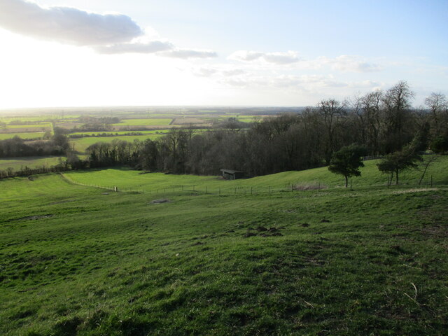
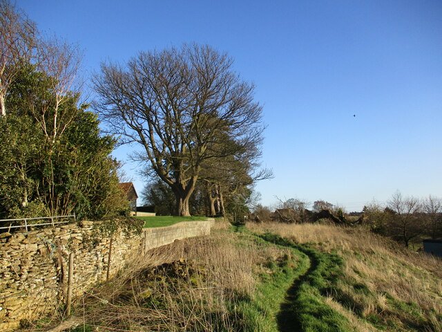
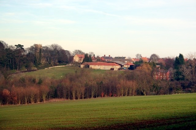
Boothby Graffoe Low Fields is a picturesque area located in the county of Lincolnshire, England. Situated on the outskirts of the village of Boothby Graffoe, this region comprises a combination of downs and moorland, offering a diverse and captivating landscape.
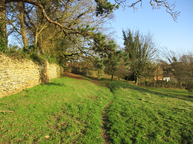
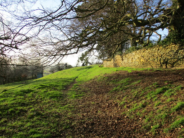
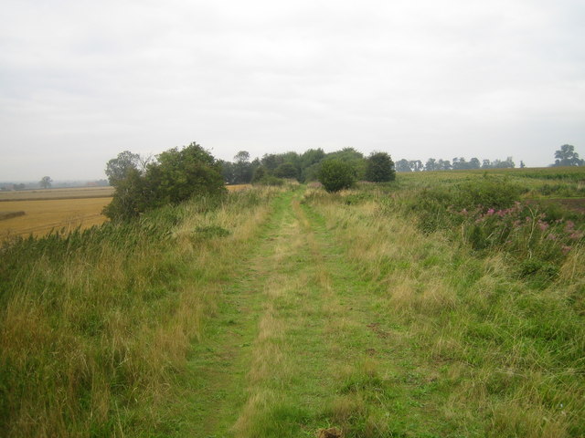
The downs of Boothby Graffoe Low Fields are characterized by rolling hills and open grasslands. These gentle slopes provide stunning panoramic views of the surrounding countryside, making it a popular spot for hiking and leisurely walks. The vast expanse of greenery is often dotted with grazing livestock, adding to the rural charm of the area.
In contrast, the moorland of Boothby Graffoe Low Fields showcases a wilder and more rugged terrain. Covered in heather and scattered with rocky outcrops, this part of the region offers a unique and untamed beauty. Moorland birds, such as grouse and curlews, can often be spotted here, attracting wildlife enthusiasts and birdwatchers alike.
The area is also known for its rich history, with several archaeological sites and ancient monuments scattered throughout. These include burial mounds, Iron Age settlements, and remnants of Roman occupation, adding a sense of intrigue and fascination to the landscape.
Boothby Graffoe Low Fields is a haven for nature lovers and those seeking tranquility away from the hustle and bustle of city life. With its breathtaking vistas, diverse habitats, and historical significance, it truly is a hidden gem within Lincolnshire.
If you have any feedback on the listing, please let us know in the comments section below.
Boothby Graffoe Low Fields Images
Images are sourced within 2km of 53.118454/-0.56377374 or Grid Reference SK9658. Thanks to Geograph Open Source API. All images are credited.


Boothby Graffoe Low Fields is located at Grid Ref: SK9658 (Lat: 53.118454, Lng: -0.56377374)
Administrative County: Lincolnshire
District: North Kesteven
Police Authority: Lincolnshire
What 3 Words
///unpacked.magnetic.river. Near Navenby, Lincolnshire
Nearby Locations
Related Wikis

Somerton Castle
Somerton Castle is located approximately 1 mile (1.6 km) west of the village of Boothby Graffoe in Lincolnshire, England and to the south of the city of...
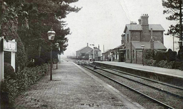
Navenby railway station
Navenby railway station was a railway station in Navenby, Lincolnshire on the Grantham and Lincoln railway line. The station closed for passengers in...

Boothby Graffoe
Boothby Graffoe is a village and civil parish in the North Kesteven district of Lincolnshire, England. The population of the civil parish at the 2011 census...

Coleby, North Kesteven
Coleby is a village and civil parish in the North Kesteven district of Lincolnshire, England. It is situated on the A607, and approximately 6 miles (10...

Skinnand
Skinnand is a deserted medieval village in Lincolnshire, England. It was a small farming community situated 9 miles (14 km) south of Lincoln and 11.5 miles...
Navenby
Navenby is a village and civil parish in the North Kesteven district of Lincolnshire, England. Lying 8 miles (13 km) south from Lincoln and 9 miles (14...

Wellingore
Wellingore is a village and civil parish in the North Kesteven district of Lincolnshire, England. The population of the civil parish at the 2011 census...
Harmston railway station
Harmston railway station was a station in Harmston, Lincolnshire on the Grantham and Lincoln railway line. It closed in 1962 but the line remained open...
Nearby Amenities
Located within 500m of 53.118454,-0.56377374Have you been to Boothby Graffoe Low Fields?
Leave your review of Boothby Graffoe Low Fields below (or comments, questions and feedback).