Battlesden Park
Downs, Moorland in Bedfordshire
England
Battlesden Park
The requested URL returned error: 429 Too Many Requests
If you have any feedback on the listing, please let us know in the comments section below.
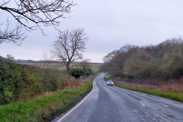
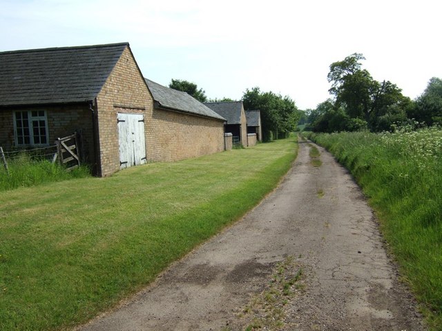
Battlesden Park Images
Images are sourced within 2km of 51.950152/-0.60797149 or Grid Reference SP9528. Thanks to Geograph Open Source API. All images are credited.


Battlesden Park is located at Grid Ref: SP9528 (Lat: 51.950152, Lng: -0.60797149)
Unitary Authority: Central Bedfordshire
Police Authority: Bedfordshire
What 3 Words
///players.interest.comedy. Near Battlesden, Bedfordshire
Nearby Locations
Related Wikis
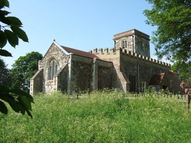
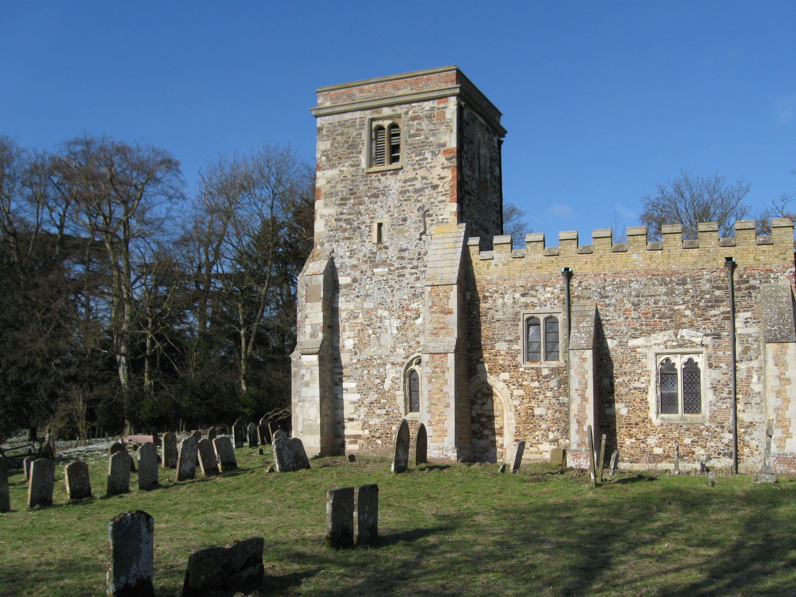
Church of St Peter & All Saints, Battlesden
Church of St Peter & All Saints is a Grade I listed church in Battlesden, Bedfordshire, England. It became a listed building on 23 January 1961. ��2...
Potsgrove
Potsgrove is a small village and civil parish located in the Central Bedfordshire district of Bedfordshire, England. The parish includes the hamlet of...
Battlesden
Battlesden is a hamlet and civil parish in the Central Bedfordshire district of Bedfordshire, England. It is just north of the A5, between Dunstable...
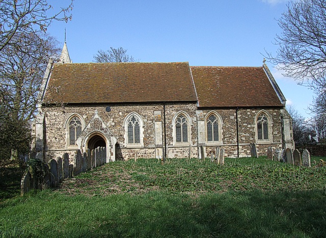
St Mary's Church, Potsgrove
St Mary's Church is a redundant Anglican church in the village of Potsgrove, Bedfordshire. England. It is recorded in the National Heritage List for England...
Have you been to Battlesden Park?
Leave your review of Battlesden Park below (or comments, questions and feedback).