Hundred Acres
Downs, Moorland in Lincolnshire South Kesteven
England
Hundred Acres
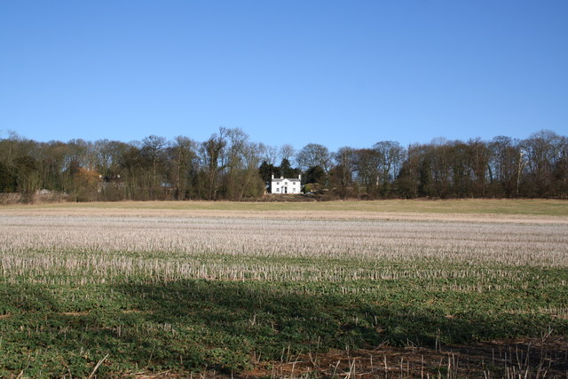
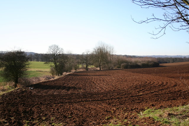
Hundred Acres is a picturesque area located in Lincolnshire, England. Nestled amidst the beautiful landscapes of Downs and Moorland, it offers a stunning natural environment that attracts visitors from far and wide.
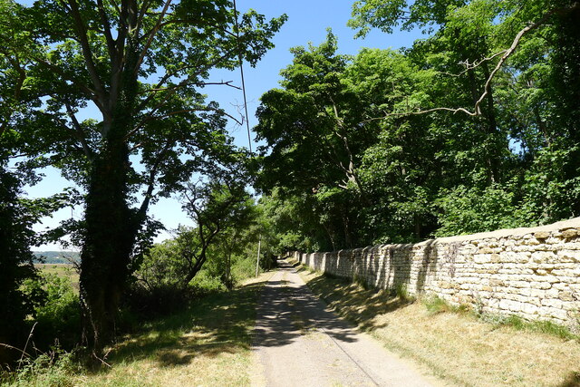
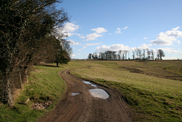
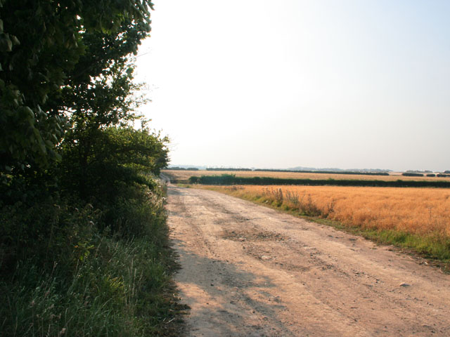
The Downs of Hundred Acres provide a rolling expanse of hills and meadows, offering breathtaking panoramic views of the surrounding countryside. The area is rich in diverse flora and fauna, making it a haven for nature enthusiasts and wildlife lovers. Numerous walking trails crisscross the Downs, offering visitors the opportunity to explore the serene beauty of the area and enjoy activities such as hiking, birdwatching, and photography.
Adjacent to the Downs, the Moorland of Hundred Acres adds a unique charm to the landscape. With its vast open spaces and heather-covered hills, it creates a distinct contrast to the lush greenery of the Downs. The Moorland is home to a variety of plant species, including heather, gorse, and bilberry, adding vibrant splashes of color to the landscape. It also provides a habitat for a range of wildlife, including rabbits, foxes, and various bird species.
Hundred Acres is a popular destination for outdoor enthusiasts, offering a peaceful retreat from the hustle and bustle of urban life. Whether it's exploring the rolling hills of the Downs or immersing oneself in the untamed beauty of the Moorland, visitors can expect to find tranquility and natural splendor in this idyllic corner of Lincolnshire.
If you have any feedback on the listing, please let us know in the comments section below.
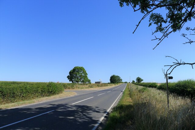
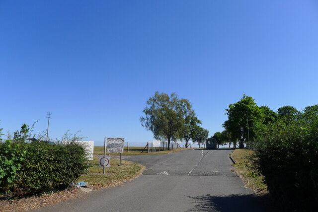
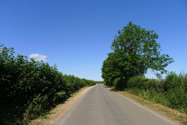
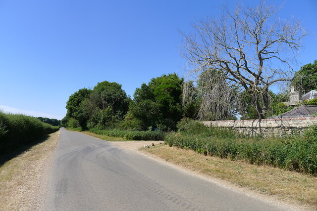
Hundred Acres Images
Images are sourced within 2km of 52.956272/-0.58362271 or Grid Reference SK9540. Thanks to Geograph Open Source API. All images are credited.


Hundred Acres is located at Grid Ref: SK9540 (Lat: 52.956272, Lng: -0.58362271)
Administrative County: Lincolnshire
District: South Kesteven
Police Authority: Lincolnshire
What 3 Words
///sweated.waltzes.sock. Near Ancaster, Lincolnshire
Nearby Locations
Related Wikis

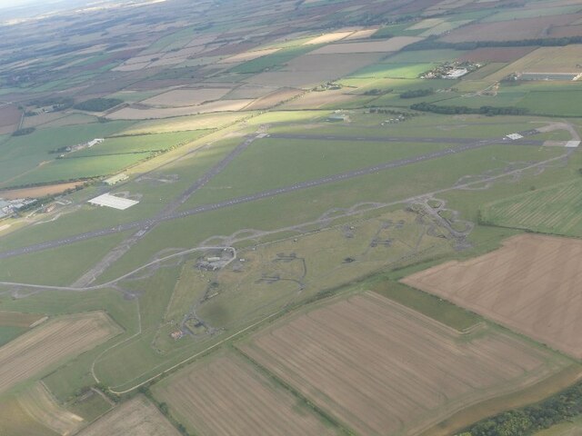
RAF Barkston Heath
Royal Air Force Barkston Heath or RAF Barkston Heath (ICAO: EGYE) is a Royal Air Force Relief Landing Ground under the command of RAF Cranwell near Grantham...

Barkston
Barkston is an English village and civil parish in the South Kesteven district of Lincolnshire. The parish population was 497 at the 2001 census and 493...

Belton House Boathouse
The Boathouse on Boathouse Pond, Belton House, Belton, Lincolnshire was designed by Anthony Salvin in 1838–1839. It is a Grade II listed building. ��2...

Syston, Lincolnshire
Syston is a village and civil parish in the South Kesteven district of Lincolnshire, England. The population of the civil parish was 162 at the 2011 census...
Nearby Amenities
Located within 500m of 52.956272,-0.58362271Have you been to Hundred Acres?
Leave your review of Hundred Acres below (or comments, questions and feedback).