Culmer Common

Downs, Moorland in Surrey Waverley

England

Culmer Common

The Pirrie Hall
The Pirrie Hall Credit: Alex McGregor

Culmer Common is a picturesque area located in the county of Surrey, England. It is renowned for its stunning downs and moorland landscapes, which attract nature enthusiasts and hikers alike. Spanning over several hundred acres, Culmer Common boasts an abundance of diverse flora and fauna, making it a haven for wildlife.

The common is characterized by rolling hills covered in vibrant heather, gorse, and grasses. Visitors can enjoy breathtaking panoramic views of the surrounding countryside from various vantage points throughout the area. The undulating terrain offers a challenge to avid walkers and provides an opportunity to explore the natural beauty of the region.

Culmer Common is home to a variety of bird species, including skylarks, stonechats, and meadow pipits. The open grasslands provide an ideal habitat for these birds, making it a popular destination for birdwatchers. Additionally, the common is known for its resident rabbits and deer, adding to the charm and appeal of the area.

The common is easily accessible, with well-marked footpaths and trails that guide visitors through its various sections. It is a great place for outdoor activities such as walking, picnicking, and photography. The tranquility and serenity offered by Culmer Common make it a perfect escape from the bustling city life.

Overall, Culmer Common is a hidden gem in Surrey, offering a unique blend of downs and moorland landscapes. Its natural beauty, diverse wildlife, and peaceful atmosphere make it a must-visit destination for nature lovers and those seeking a tranquil retreat.

If you have any feedback on the listing, please let us know in the comments section below.

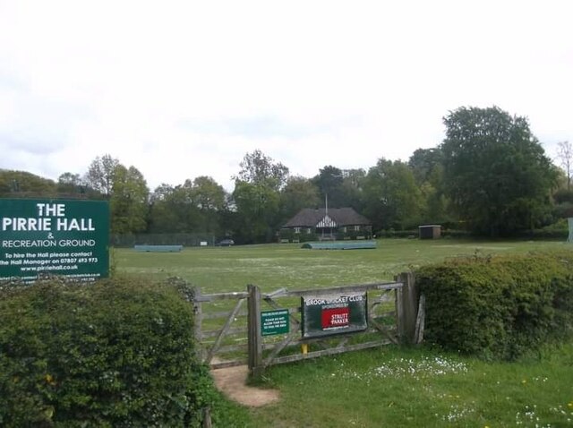
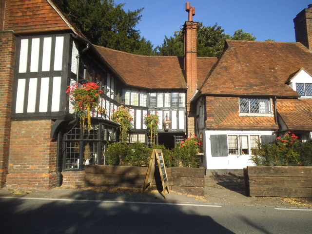
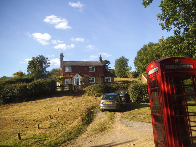
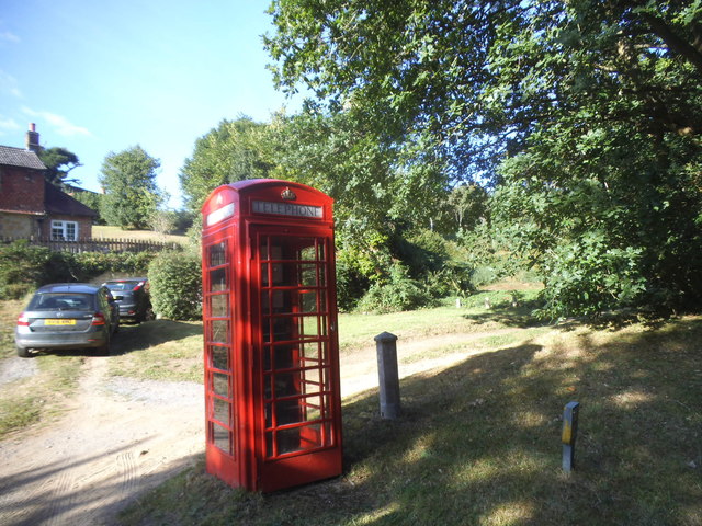
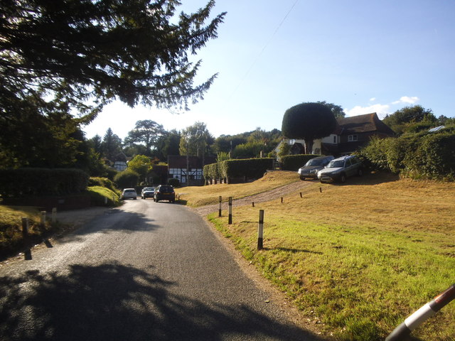
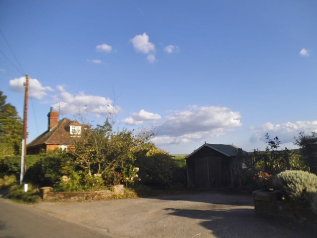
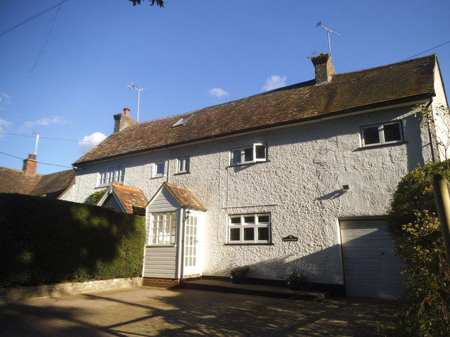
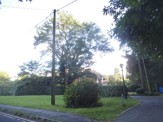
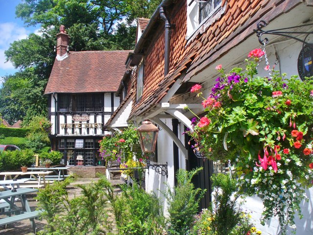
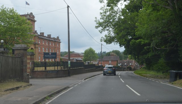
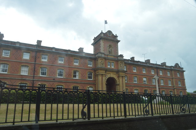
Culmer Common Images

Images are sourced within 2km of 51.140482/-0.64749863 or Grid Reference SU9438. Thanks to Geograph Open Source API. All images are credited.

The Pirrie Hall
The Pirrie Hall
The Eagle Statue, Brook Lodge
At last!!! Taken at the junction of Roke Lane and Sunnydown as it rains for the first time in MONTHS
At last!!!
Taken at the junction of Roke Lane and Sunnydown as it rains for the first time in MONTHS
The Star pub, Wheeler Street On the corner of Wheeler Lane and Petworth Road (A283).
The Star pub, Wheeler Street
On the corner of Wheeler Lane and Petworth Road (A283).
Phillips of Wormley
Phillips of Wormley
The White Hart, Witley
Brook Road at the junction of Petworth Road
House on Brook Road, Sandhills
Phone box on Brook Road, Sandhills
Brook Road, Sandhills
House on Brook Road
House on Brook Road
Cottage on Brook Road, Sandhills
Green by Brook Road, Wormley
2016: a year on Geograph (Day 351) At Brook, Surrey
2016: a year on Geograph (Day 351)
At Brook, Surrey
Witley - White Hart Attractive and historic timber-framed pub on the Petworth Road opposite Witley Church.
Witley - White Hart
Attractive and historic timber-framed pub on the Petworth Road opposite Witley Church.
A283, Wormley The A283 runs 37 miles from Milford near Guildford south to Shoreham-on-Sea across rural Surrey and West Sussex.
<span class="nowrap"><a title="https://www.sabre-roads.org.uk/wiki/index.php?title=A283" rel="nofollow ugc noopener" href="https://www.sabre-roads.org.uk/wiki/index.php?title=A283">Link</a><img style="margin-left:2px;" alt="External link" title="External link - shift click to open in new window" src="https://s1.geograph.org.uk/img/external.png" width="10" height="10"/></span>
A283, Wormley
The A283 runs 37 miles from Milford near Guildford south to Shoreham-on-Sea across rural Surrey and West Sussex. LinkExternal link
King Edward School. Wormley
Show me another place!

Culmer Common is located at Grid Ref: SU9438 (Lat: 51.140482, Lng: -0.64749863)

Administrative County: Surrey

District: Waverley

Police Authority: Surrey

What 3 Words

///limelight.cling.butternut. Near Wormley, Surrey

Related Wikis

King Edward's School, Witley

King Edward's Witley is a private co-educational boarding and day school, founded in 1553 by King Edward VI and Nicholas Ridley, Bishop of London and Westminster...

Wormley, Surrey

Wormley is a village in Surrey, England in the parish of Witley, around Witley station, off the A283 Petworth Road about 5 km (3.1 mi) SSW of Godalming...

Witley railway station

Witley railway station is a station on the Portsmouth Direct Line in Surrey, England. It is 38 miles 36 chains (61.9 km) down the line from London Waterloo...

Witley

Witley is a village and civil parish in the Borough of Waverley in Surrey, England centred 2.6 miles (4 km) south west of the town of Godalming and 6.6...

Nearby Amenities

Located within 500m of 51.140482,-0.64749863
Source: Landsat
Lat/Long: 51.1379151/-0.6422587
Source: Landsat photo
Lat/Long: 51.139346/-0.6417641
Source: Landsat photo
Lat/Long: 51.1402301/-0.6416203
Source: Landsat photo
Lat/Long: 51.1423683/-0.6416149
Culmer
Building: yes
Source: npe
Lat/Long: 51.1429404/-0.652993
Man Made: water_tower
Lat/Long: 51.1373686/-0.6477397
Barrier: stile
Lat/Long: 51.1441268/-0.6435857
Barrier: stile
Lat/Long: 51.142996/-0.6517427
Bus Stop
Enton Turning
Naptan AtcoCode: 40004411989A
Naptan Bearing: S
Naptan CommonName: Enton Turning
Naptan Indicator: Just after
Naptan Landmark: Enton Turning
Naptan NaptanCode: surgmtmt
Naptan Street: Petworth Road
Naptan Verified: no
Source: naptan_import
Lat/Long: 51.1428876/-0.6458252
Bus Stop
King Edwards School
Naptan AtcoCode: 40004411990A
Naptan Bearing: SE
Naptan CommonName: King Edwards School
Naptan Indicator: Opp
Naptan Landmark: King Edwards School
Naptan NaptanCode: surgmtmw
Naptan Street: Petworth Road
Naptan Verified: no
Source: naptan_import
Lat/Long: 51.1374954/-0.6437959
Bus Stop
King Edwards School
Naptan AtcoCode: 40004411990B
Naptan Bearing: NW
Naptan CommonName: King Edwards School
Naptan Indicator: Just after
Naptan Landmark: King Edwards School
Naptan NaptanCode: surgmtpa
Naptan Street: Petworth Road
Naptan Verified: no
Source: naptan_import
Lat/Long: 51.1375719/-0.6441939
Bus Stop
Enton Turning
Naptan AtcoCode: 40004411998A
Naptan Bearing: N
Naptan CommonName: Enton Turning
Naptan Indicator: Just Before
Naptan Landmark: Enton Turning
Naptan NaptanCode: surgmtpw
Naptan Street: Petworth Road
Naptan Verified: no
Source: naptan_import
Lat/Long: 51.142827/-0.6460271
Grit Bin
Lat/Long: 51.142997/-0.6457941
Give Way
Direction: forward
Lat/Long: 51.1430686/-0.6458853
Post Box
Post Box Type: lamp
Lat/Long: 51.1431418/-0.6458773
Give Way
Direction: forward
Lat/Long: 51.1369791/-0.6432205
Bus Stop
Public Transport: platform
Lat/Long: 51.1392166/-0.6450941
Bus Stop
Bench: yes
Bin: yes
Naptan AtcoCode: 40004411161A
Naptan NaptanCode: surdtwap
Public Transport: platform
Shelter: yes
Lat/Long: 51.1397887/-0.6454039
The data included in this document is from www.openstreetmap.org. The data is made available under ODbL.

Have you been to Culmer Common?

Leave your review of Culmer Common below (or comments, questions and feedback).