Baleromindubh

Settlement in Argyllshire

Scotland

Baleromindubh

Fields in the south of Colonsay From the B8086 road.
Fields in the south of Colonsay Credit: Andrew Abbott

The requested URL returned error: 429 Too Many Requests

If you have any feedback on the listing, please let us know in the comments section below.

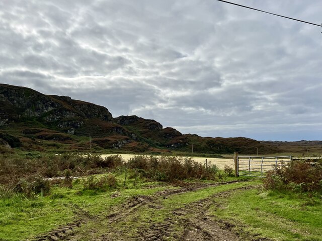
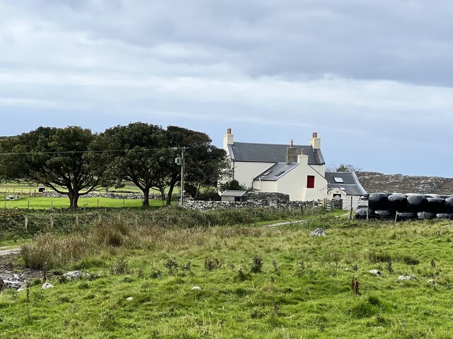
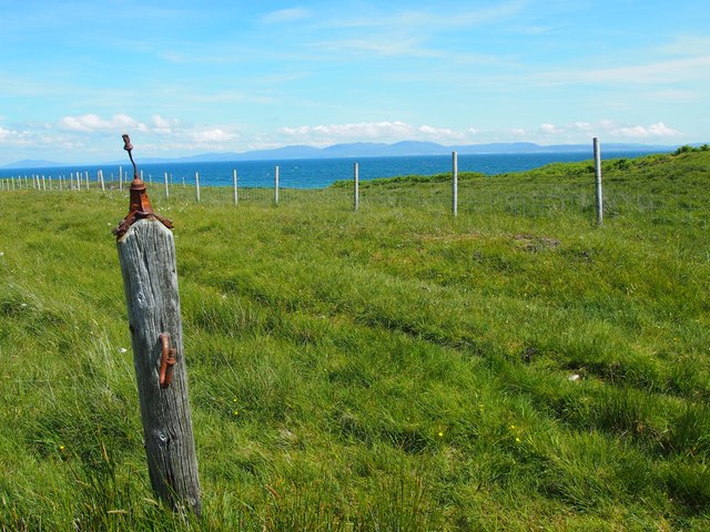
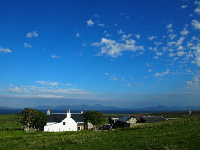
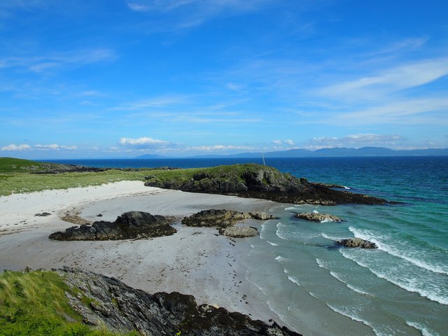
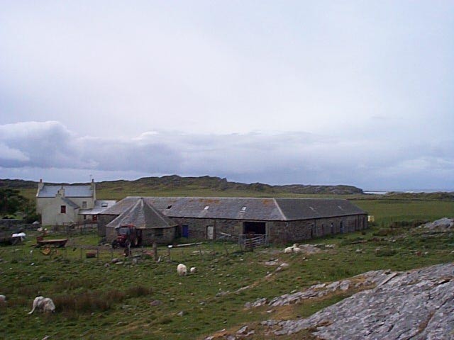
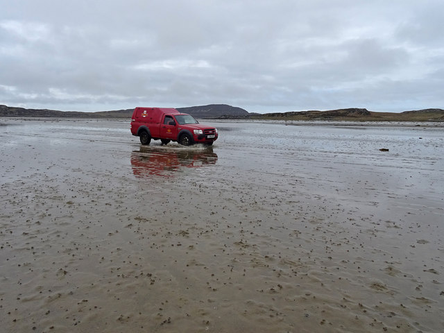
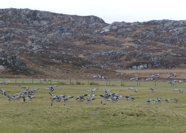
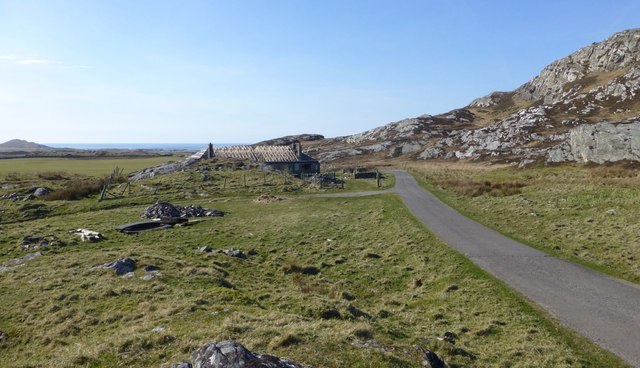
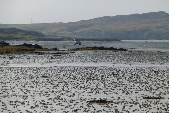
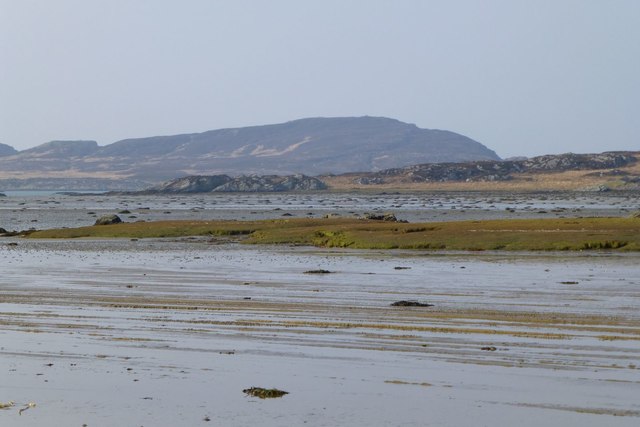
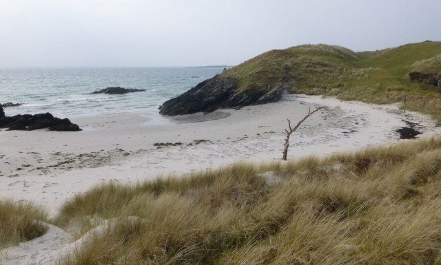
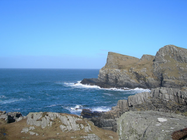
Baleromindubh Images

Images are sourced within 2km of 56.048933/-6.2090819 or Grid Reference NR3892. Thanks to Geograph Open Source API. All images are credited.

Fields in the south of Colonsay From the B8086 road.
Fields in the south of Colonsay
From the B8086 road.
Machrins farmhouse From the B8086 road.
Machrins farmhouse
From the B8086 road.
The beach of Tràigh Bàn on the east coast of Colonsay This beach is usually quiet, because it is often neglected in favour of other beaches. The Paps of Jura lie on the skyline.  The beach is not named on OS maps but the local map calls it Tràigh Bàn.
The beach of Tràigh Bàn on the east coast of Colonsay
This beach is usually quiet, because it is often neglected in favour of other beaches. The Paps of Jura lie on the skyline. The beach is not named on OS maps but the local map calls it Tràigh Bàn.
The Tulip Field For a short while this field on the east coast of Colonsay was used in a trial for growing tulips. I have no idea what the adornments on the post were for.
The Tulip Field
For a short while this field on the east coast of Colonsay was used in a trial for growing tulips. I have no idea what the adornments on the post were for.
Baleromindubh Farm Bal'dubh looking across to Islay and Jura
Baleromindubh Farm
Bal'dubh looking across to Islay and Jura
Cable Bay The pole on the headland marks the place where a telecommunications cable once came ashore
Cable Bay
The pole on the headland marks the place where a telecommunications cable once came ashore
Traigh Ban Looking towards Bal'dubh Farm
Traigh Ban
Looking towards Bal'dubh Farm
Machrin's Farm
Machrin's Farm
First Class The mail man always delivers! - or in this case mail women - returning from delivering the mail to Oronsay across the Strand.
First Class
The mail man always delivers! - or in this case mail women - returning from delivering the mail to Oronsay across the Strand.
Barnacle geese at Machrins Hundreds feeding on the grass here and at the golf course.
Barnacle geese at Machrins
Hundreds feeding on the grass here and at the golf course.
Ruined or demolished cottages At Machrins.
Ruined or demolished cottages
At Machrins.
Car on The Strand Heading from Oronsay to Colonsay.
Car on The Strand
Heading from Oronsay to Colonsay.
Looking across The Strand To Beinn Oronsay.
Looking across The Strand
To Beinn Oronsay.
Traigh an Eacail Below the former farm at Balerominmore.
Traigh an Eacail
Below the former farm at Balerominmore.
Geese with their own private beach On the south east coast of Colonsay below Balerominmore.
Geese with their own private beach
On the south east coast of Colonsay below Balerominmore.
Car safely across The Strand Just the seaweed to negotiate.
Car safely across The Strand
Just the seaweed to negotiate.
Teampull a' Ghlinne (remains of) Church of the Glen - the remains of a probably medieval oriented building which is thought to occupy the site of a church dedicated to St Columba, who is said to have visited the spot. <span class="nowrap"><a title="https://canmore.org.uk/site/37970/colonsayteampull-a-ghlinne" rel="nofollow ugc noopener" href="https://canmore.org.uk/site/37970/colonsayteampull-a-ghlinne">Link</a><img style="margin-left:2px;" alt="External link" title="External link - shift click to open in new window" src="https://s1.geograph.org.uk/img/external.png" width="10" height="10"/></span>
Teampull a' Ghlinne (remains of)
Church of the Glen - the remains of a probably medieval oriented building which is thought to occupy the site of a church dedicated to St Columba, who is said to have visited the spot. LinkExternal link
Lapwings practise their aerobatics Over a saturated sheep field.
Lapwings practise their aerobatics
Over a saturated sheep field.
Show me another place!

Baleromindubh is located at Grid Ref: NR3892 (Lat: 56.048933, Lng: -6.2090819)

Unitary Authority: Argyll and Bute

Police Authority: Argyll and West Dunbartonshire

What 3 Words

///driveways.capillary.pylon. Near Scalasaig, Argyll & Bute

Related Wikis

Dùn Cholla

Dùn Cholla is a hill fort located on the Inner Hebridean island of Colonsay, Scotland. The site is located at grid reference NR37759150.According to tradition...

Colonsay Group

The Colonsay Group is an estimated 5,000 m thick sequence of mildly metamorphosed Neoproterozoic sedimentary rocks that outcrop on the islands of Colonsay...

Colonsay

Colonsay (; Scottish Gaelic: Colbhasa; Scots: Colonsay) is an island in the Inner Hebrides of Scotland, located north of Islay and south of Mull. The ancestral...

Colonsay Parish Church, Scalasaig

Colonsay Parish Church is a Category B listed Church of Scotland parish church in Scalasaig, Colonsay. == History == The church was built in 1801–04 at...

Nearby Amenities

Located within 500m of 56.048933,-6.2090819
Barrier: cattle_grid
Lat/Long: 56.0523421/-6.2115622
Power: pole
Lat/Long: 56.0465745/-6.2135592
Power: pole
Lat/Long: 56.046812/-6.2118246
Power: pole
Lat/Long: 56.0467919/-6.2085362
Power: pole
Lat/Long: 56.0462392/-6.2067432
Power: pole
Lat/Long: 56.0454784/-6.2046528
Power: pole
Lat/Long: 56.049907/-6.2026413
Power: pole
Lat/Long: 56.050441/-6.2016699
Power: pole
Lat/Long: 56.0493424/-6.2037098
Power: pole
Lat/Long: 56.0487874/-6.20476
Power: pole
Lat/Long: 56.0482304/-6.2058141
Power: pole
Lat/Long: 56.0474395/-6.2073107
Power: pole
Lat/Long: 56.0465238/-6.2076664
Power: pole
Lat/Long: 56.0458113/-6.2055676
Power: pole
Lat/Long: 56.0467971/-6.2093934
Power: pole
Lat/Long: 56.0468057/-6.2107866
Power: pole
Lat/Long: 56.0458583/-6.2148516
Power: pole
Lat/Long: 56.0461054/-6.2144057
The data included in this document is from www.openstreetmap.org. The data is made available under ODbL.

Have you been to Baleromindubh?

Leave your review of Baleromindubh below (or comments, questions and feedback).