Hill Fields
Downs, Moorland in Yorkshire
England
Hill Fields
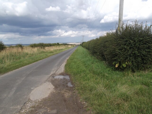
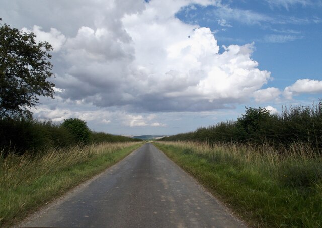
Hill Fields is a picturesque area located in Yorkshire, England. Nestled amidst the Yorkshire Downs and Moorland, it offers visitors a stunning and diverse landscape to explore. Spanning over vast acres, Hill Fields is renowned for its natural beauty, making it a popular destination for nature enthusiasts and avid hikers.
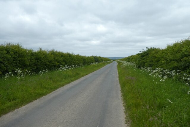
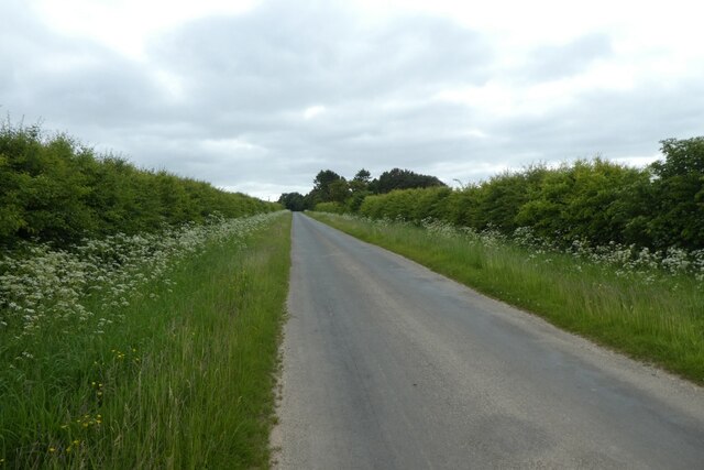
The area is characterized by rolling hills covered in lush greenery, providing breathtaking panoramic views of the surrounding countryside. The Yorkshire Downs, with their sweeping valleys and meandering rivers, offer a peaceful and idyllic setting for those seeking tranquility and solitude.
Hill Fields is also home to extensive moorland, with its distinctive heather-covered terrain. This unique habitat supports a rich variety of flora and fauna, including rare bird species such as the red grouse and merlin. The moorland is a haven for wildlife enthusiasts and birdwatchers, providing ample opportunities for sightings and photography.
For those looking to explore the area on foot, Hill Fields offers an extensive network of walking trails, ranging from easy strolls to more challenging hikes. These well-maintained paths wind through the countryside, offering glimpses of ancient stone walls, quaint villages, and historic landmarks along the way.
Visitors to Hill Fields can also immerse themselves in the local culture by visiting nearby villages and towns, where they can experience traditional Yorkshire hospitality and sample local delicacies. The area is also known for its vibrant arts and crafts scene, with numerous galleries and workshops showcasing the talents of local artisans.
In summary, Hill Fields in Yorkshire presents a captivating blend of Downs and Moorland, offering visitors a scenic and diverse landscape to explore, rich in natural beauty and cultural heritage.
If you have any feedback on the listing, please let us know in the comments section below.
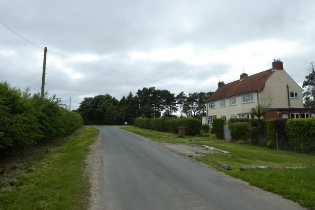
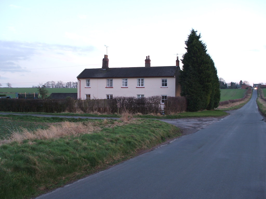
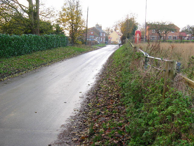
Hill Fields Images
Images are sourced within 2km of 54.000017/-0.59165283 or Grid Reference SE9256. Thanks to Geograph Open Source API. All images are credited.


Hill Fields is located at Grid Ref: SE9256 (Lat: 54.000017, Lng: -0.59165283)
Division: East Riding
Unitary Authority: East Riding of Yorkshire
Police Authority: Humberside
What 3 Words
///portable.sunroof.verb. Near Wetwang, East Yorkshire
Nearby Locations
Related Wikis

Wetwang
Wetwang is a Yorkshire Wolds village and civil parish in the East Riding of Yorkshire, England, 6 miles (10 kilometres) west of Driffield on the A166 road...

Wetwang Slack
Wetwang Slack is an Iron Age archaeological site containing remains of the Arras culture and chariot burial tradition of East Yorkshire. Archaeological...
Wetwang railway station
Wetwang railway station (SE933596) was a railway station on the Malton & Driffield Railway in the East Riding of Yorkshire, England. It served the village...
Tibthorpe
Tibthorpe is a village and civil parish in the East Riding of Yorkshire, England. According to the 2011 UK census, Tibthorpe parish had a population of...
Have you been to Hill Fields?
Leave your review of Hill Fields below (or comments, questions and feedback).