Low Middle Field

Downs, Moorland in Yorkshire

England

Low Middle Field

Soil marks in field near High Hunsley: aerial 2021
Soil marks in field near High Hunsley: aerial 2021 Credit: Simon Tomson

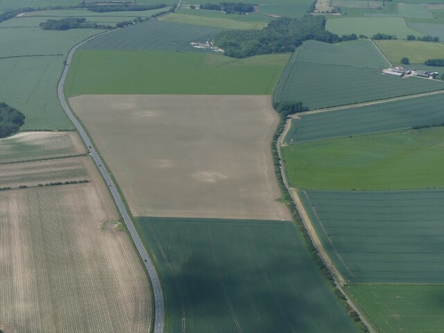
Low Middle Field is a picturesque area situated in the county of Yorkshire, England. Nestled amidst the captivating landscape of the Yorkshire Downs and Moorland, this region boasts stunning natural beauty and a rich history. The area is characterized by rolling hills, expansive meadows, and charming villages, making it an ideal destination for nature enthusiasts and history buffs alike.

The Yorkshire Downs, with their gently undulating slopes and lush greenery, offer a tranquil escape for visitors. The area is renowned for its breathtaking views, with panoramic vistas stretching as far as the eye can see. The Downs are home to a diverse array of flora and fauna, including heather, wildflowers, and various species of birds and mammals.

Adjacent to the Downs, the Moorland adds a unique charm to the landscape. Here, visitors can explore vast expanses of open moors, scattered with ancient stone formations known as "tors." The Moorland is a haven for hikers and outdoor enthusiasts, offering a network of walking trails that wind through its rugged terrain.

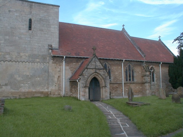
Low Middle Field is also steeped in history, with numerous historic sites and landmarks scattered throughout the area. Visitors can explore ancient ruins, such as medieval castles and monasteries, which stand as a testament to the region's rich past.

Overall, Low Middle Field, Yorkshire (Downs, Moorland) offers a combination of natural beauty and historical significance that is sure to captivate and enchant all who visit.

If you have any feedback on the listing, please let us know in the comments section below.

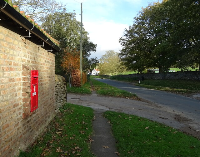
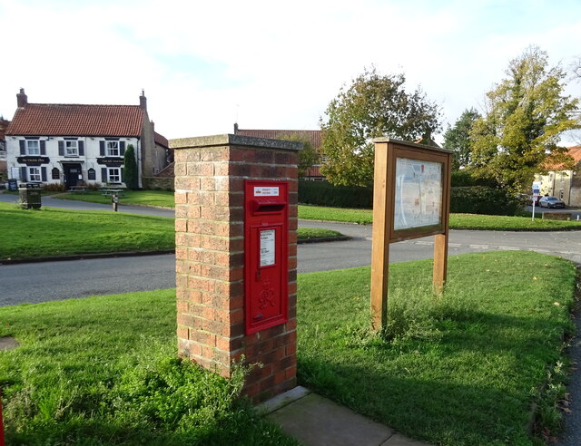
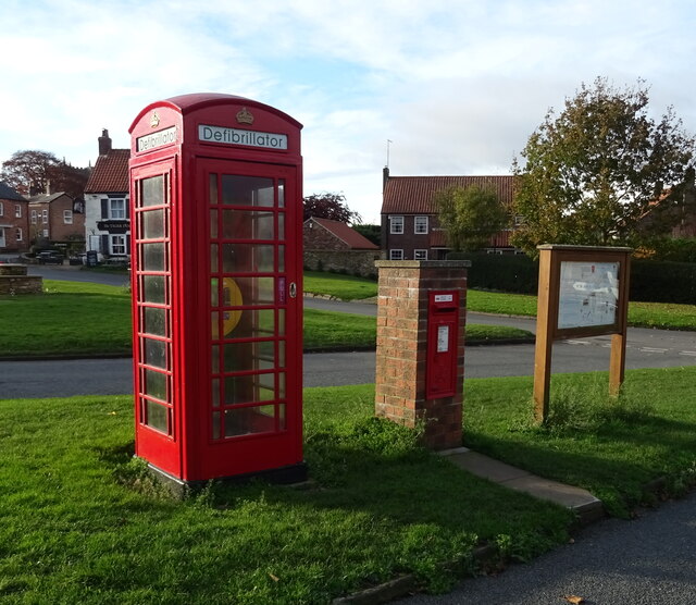
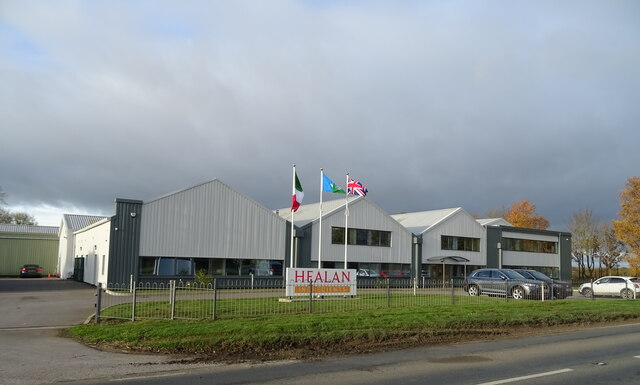
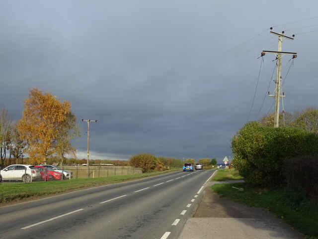
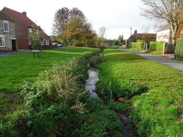
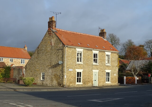
Low Middle Field Images

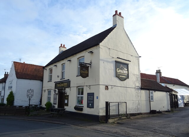
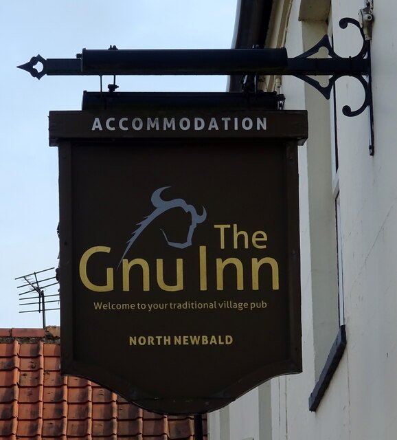
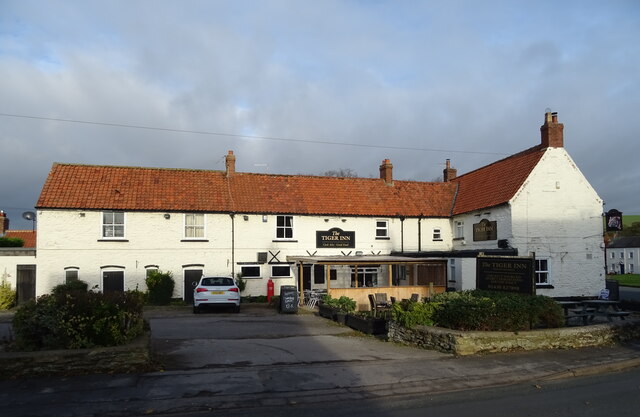
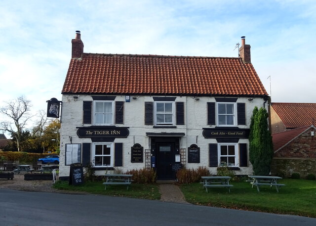
Images are sourced within 2km of 53.807686/-0.60852497 or Grid Reference SE9135. Thanks to Geograph Open Source API. All images are credited.

Soil marks in field near High Hunsley: aerial 2021
Victorian postbox on South Newbald Road, South Newbald Postbox No. YO43 251.

See <a href="https://www.geograph.org.uk/photo/7023817">SE9135 : Farm buildings, South Newbald</a>, <a href="https://www.geograph.org.uk/photo/7023819">SE9135 : Cottages on South Newbald Road, South Newbald</a> and <a href="https://www.geograph.org.uk/photo/7023821">SE9135 : South Newbald Road, South Newbald</a> for context.
Victorian postbox on South Newbald Road, South Newbald
Farm buildings, South Newbald Showing position of Postbox No. YO43 251.

See <a href="https://www.geograph.org.uk/photo/7023814">SE9135 : Victorian postbox on South Newbald Road, South Newbald</a> for postbox.
Farm buildings, South Newbald
Showing position of Postbox No. YO43 251. See SE9135 : Victorian postbox on South Newbald Road, South Newbald for postbox.
Cottages on South Newbald Road, South Newbald Showing position of Postbox No. YO43 251.

See <a href="https://www.geograph.org.uk/photo/7023814">SE9135 : Victorian postbox on South Newbald Road, South Newbald</a> for postbox.
Cottages on South Newbald Road, South Newbald
Showing position of Postbox No. YO43 251. See SE9135 : Victorian postbox on South Newbald Road, South Newbald for postbox.
South Newbald Road, South Newbald Showing position of Postbox No. YO43 251.

See <a href="https://www.geograph.org.uk/photo/7023814">SE9135 : Victorian postbox on South Newbald Road, South Newbald</a> for postbox.
South Newbald Road, South Newbald
Showing position of Postbox No. YO43 251. See SE9135 : Victorian postbox on South Newbald Road, South Newbald for postbox.
George VI postbox, North Newbald Postbox No. YO43 351.

See <a href="https://www.geograph.org.uk/photo/7024072">SE9136 : George VI postbox and notice board, North Newbald</a> for context.
George VI postbox, North Newbald
Postbox No. YO43 351. See SE9136 : George VI postbox and notice board, North Newbald for context.
George VI postbox and notice board, North Newbald The Tiger public house in the distance.

Showing position of Postbox No. YO43 351.
See <a href="https://www.geograph.org.uk/photo/7024071">SE9136 : George VI postbox, North Newbald</a> for close up.
George VI postbox and notice board, North Newbald
The Tiger public house in the distance. Showing position of Postbox No. YO43 351. See SE9136 : George VI postbox, North Newbald for close up.
George VI postbox and telephone box, North Newbald Telephone box now houses a defibrillator.

Showing position of Postbox No. YO43 351.
See <a href="https://www.geograph.org.uk/photo/7024071">SE9136 : George VI postbox, North Newbald</a> for close up.
George VI postbox and telephone box, North Newbald
Telephone box now houses a defibrillator. Showing position of Postbox No. YO43 351. See SE9136 : George VI postbox, North Newbald for close up.
Factory on the A1034, North Newbald
A1034, North Newbald Roman road towards Sancton.
A1034, North Newbald
Roman road towards Sancton.
Ings Beck, North Newbald
Stone house, North Newbald
The Gnu Inn, North Newbald
Sign for the Gnu Inn, North Newbald
The Tiger Inn, North Newbald
Sign for the Tiger Inn, North Newbald
The Green, North Newbald
Show me another place!

Low Middle Field is located at Grid Ref: SE9135 (Lat: 53.807686, Lng: -0.60852497)

Division: East Riding

Unitary Authority: East Riding of Yorkshire

Police Authority: Humberside

What 3 Words

///change.unearthly.annual. Near North Newbald, East Yorkshire

Related Wikis

South Newbald

South Newbald is a hamlet and former civil parish, now in the parish of Newbald, in the East Riding of Yorkshire, England. It is situated approximately...

Newbald

Newbald is a civil parish in the East Riding of Yorkshire, England. It is situated approximately 8 miles (13 km) west of the market town of Beverley and...

North Newbald

North Newbald is a village and former civil parish, now in the parish of Newbald, in the East Riding of Yorkshire, England. The village is situated approximately...

Hotham, East Riding of Yorkshire

Hotham is a small village and civil parish in the East Riding of Yorkshire, England. It is situated approximately 16 miles (26 km) west of Hull, 21 miles...

Nearby Amenities

Located within 500m of 53.807686,-0.60852497
Bench
Backrest: yes
Colour: black
Material: steel
Seats: 4
Lat/Long: 53.8104671/-0.6086783
The data included in this document is from www.openstreetmap.org. The data is made available under ODbL.

Have you been to Low Middle Field?

Leave your review of Low Middle Field below (or comments, questions and feedback).