Low South Field
Downs, Moorland in Yorkshire
England
Low South Field
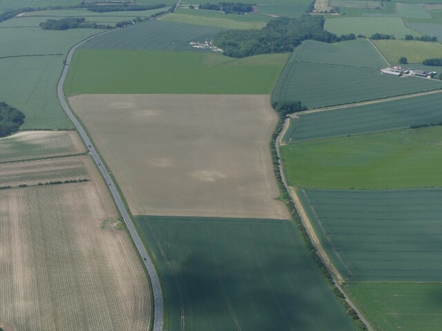
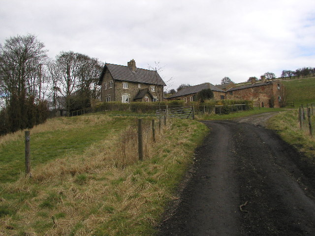
Low South Field is a picturesque area located in Yorkshire, England, known for its stunning natural beauty and diverse landscapes. Situated in the heart of the county, it is surrounded by the magnificent Yorkshire Downs and Moorland, offering visitors a unique and immersive experience in the English countryside.
The Downs in Low South Field are characterized by their rolling hills, vast green meadows, and breathtaking panoramic views. The area is a haven for hikers and nature enthusiasts, with numerous well-marked trails crisscrossing the landscape, allowing visitors to explore the Downs at their own pace. The Downs are also home to a rich variety of flora and fauna, including heather, gorse, and wildflowers, as well as bird species such as skylarks and pheasants.
Adjacent to the Downs, the Moorland in Low South Field presents a contrasting landscape with its rugged terrain, expansive moors, and scattered rock formations. The moors are a sight to behold, especially during the summer months when the vibrant purple hues of blooming heather create a stunning spectacle. The Moorland is also home to a diverse range of wildlife, including red grouse, curlews, and various species of reptiles and amphibians.
Low South Field offers a peaceful and tranquil escape from the hustle and bustle of city life. Visitors can enjoy picnicking in the open meadows, capturing stunning photographs, or simply immersing themselves in the serenity of nature. With its breathtaking scenery and abundant natural wonders, Low South Field is a must-visit destination for anyone seeking a true Yorkshire countryside experience.
If you have any feedback on the listing, please let us know in the comments section below.
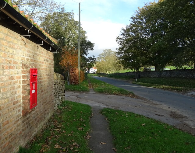
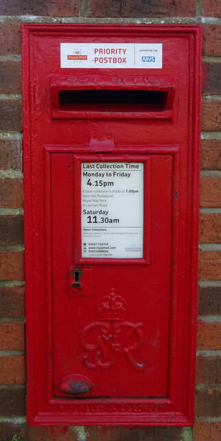
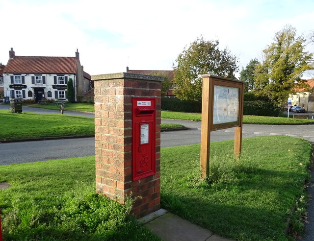
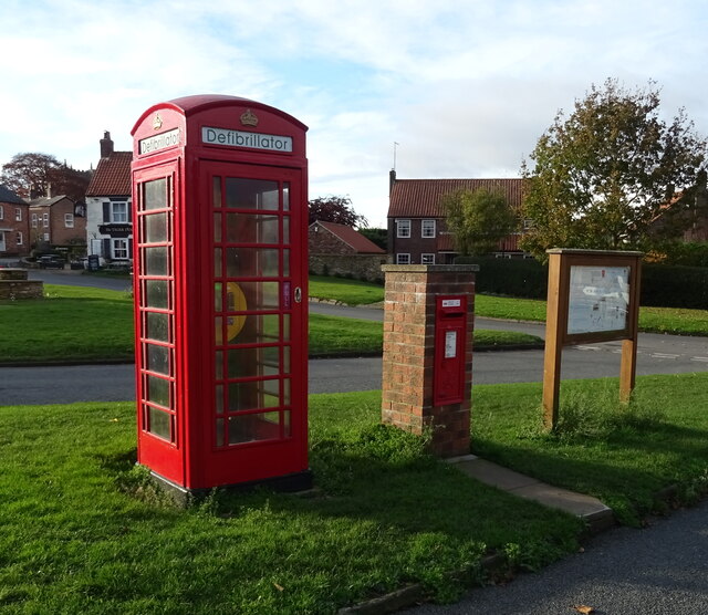
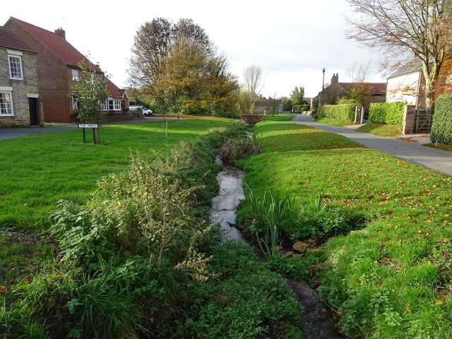
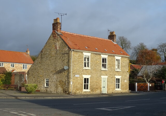
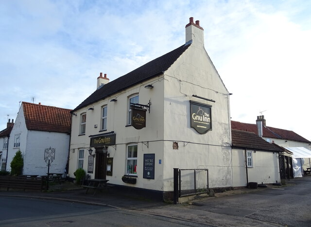
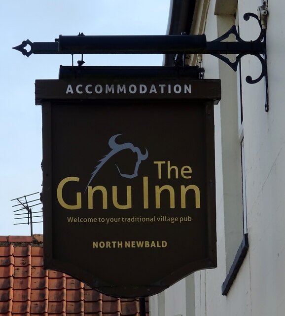
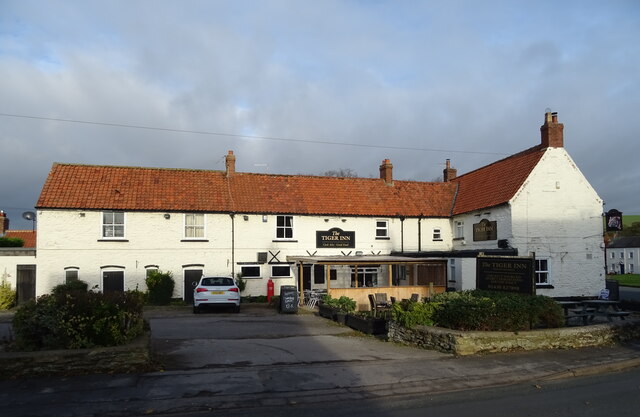
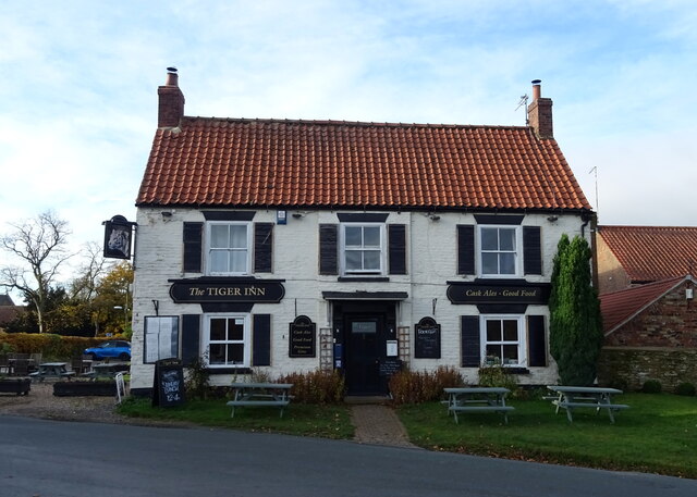
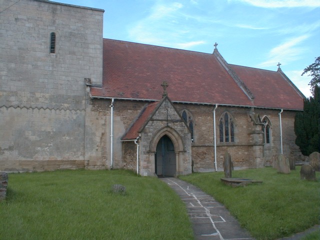
Low South Field Images
Images are sourced within 2km of 53.802692/-0.60881181 or Grid Reference SE9134. Thanks to Geograph Open Source API. All images are credited.


Low South Field is located at Grid Ref: SE9134 (Lat: 53.802692, Lng: -0.60881181)
Division: East Riding
Unitary Authority: East Riding of Yorkshire
Police Authority: Humberside
What 3 Words
///camcorder.chats.documents. Near North Newbald, East Yorkshire
Nearby Locations
Related Wikis

South Newbald
South Newbald is a hamlet and former civil parish, now in the parish of Newbald, in the East Riding of Yorkshire, England. It is situated approximately...

Newbald
Newbald is a civil parish in the East Riding of Yorkshire, England. It is situated approximately 8 miles (13 km) west of the market town of Beverley and...

North Newbald
North Newbald is a village and former civil parish, now in the parish of Newbald, in the East Riding of Yorkshire, England. The village is situated approximately...
Drewton
Drewton is a hamlet in the East Riding of Yorkshire, England. It is situated on the A1034 road, 6 miles (10 km) south-east from Market Weighton and 11...

South Cave railway station
South Cave railway station was a station on the Hull and Barnsley Railway, and served the village of South Cave in the East Riding of Yorkshire, England...
Hotham, East Riding of Yorkshire
Hotham is a small village and civil parish in the East Riding of Yorkshire, England. It is situated approximately 16 miles (26 km) west of Hull, 21 miles...
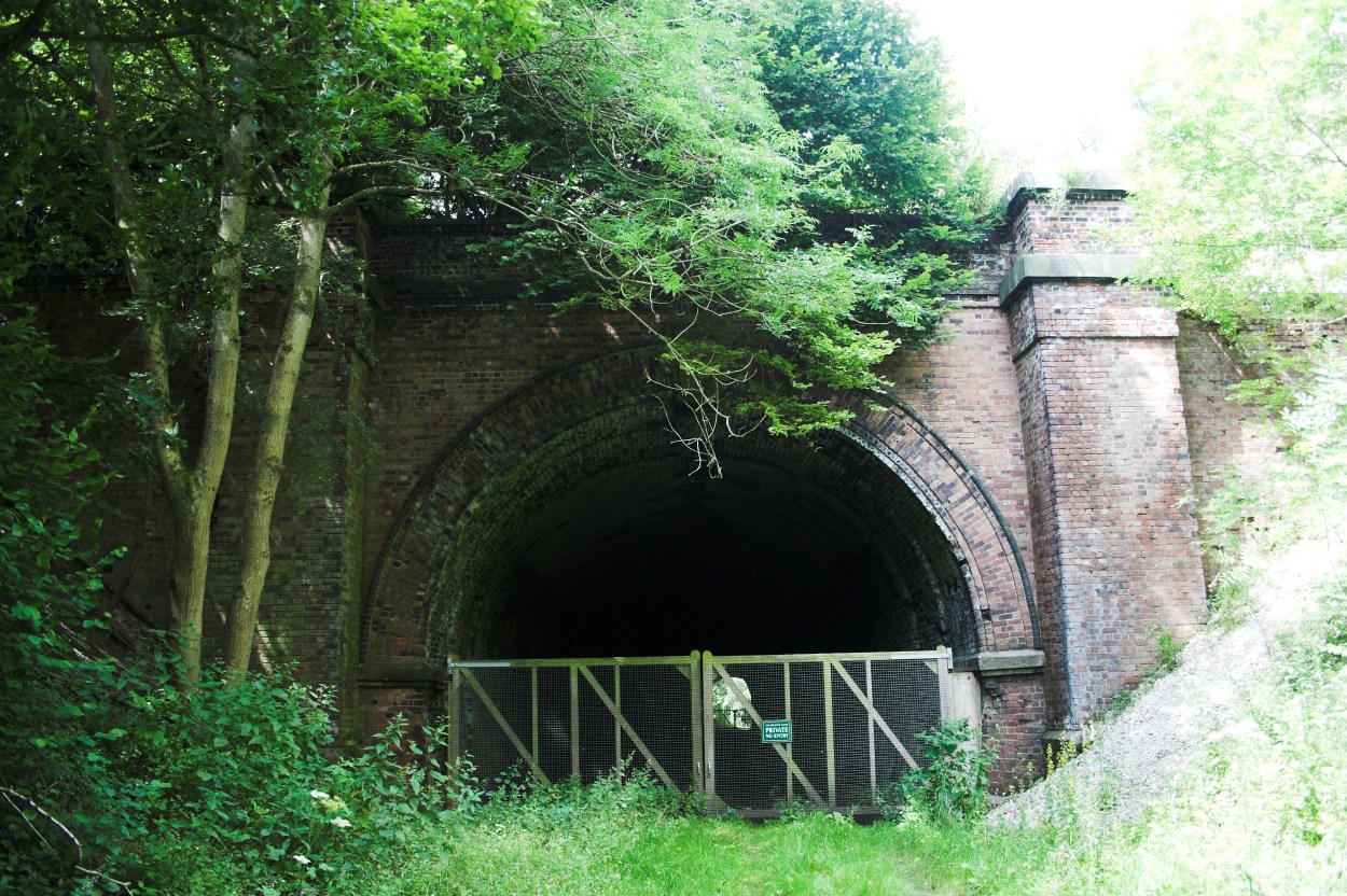
Weedley Tunnel
Weedley Tunnel at grid reference SE 935 331 is a disused tunnel on the former Hull and Barnsley Railway. Weedley Tunnel is 132 yards (121 m) long with...

Everthorpe
Everthorpe is a hamlet in the East Riding of Yorkshire, England. It is situated approximately 11 miles (18 km) west of Hull city centre and 10 miles...
Have you been to Low South Field?
Leave your review of Low South Field below (or comments, questions and feedback).