Bow Brickhill Heath
Downs, Moorland in Buckinghamshire
England
Bow Brickhill Heath
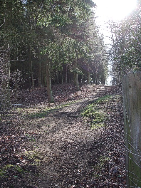
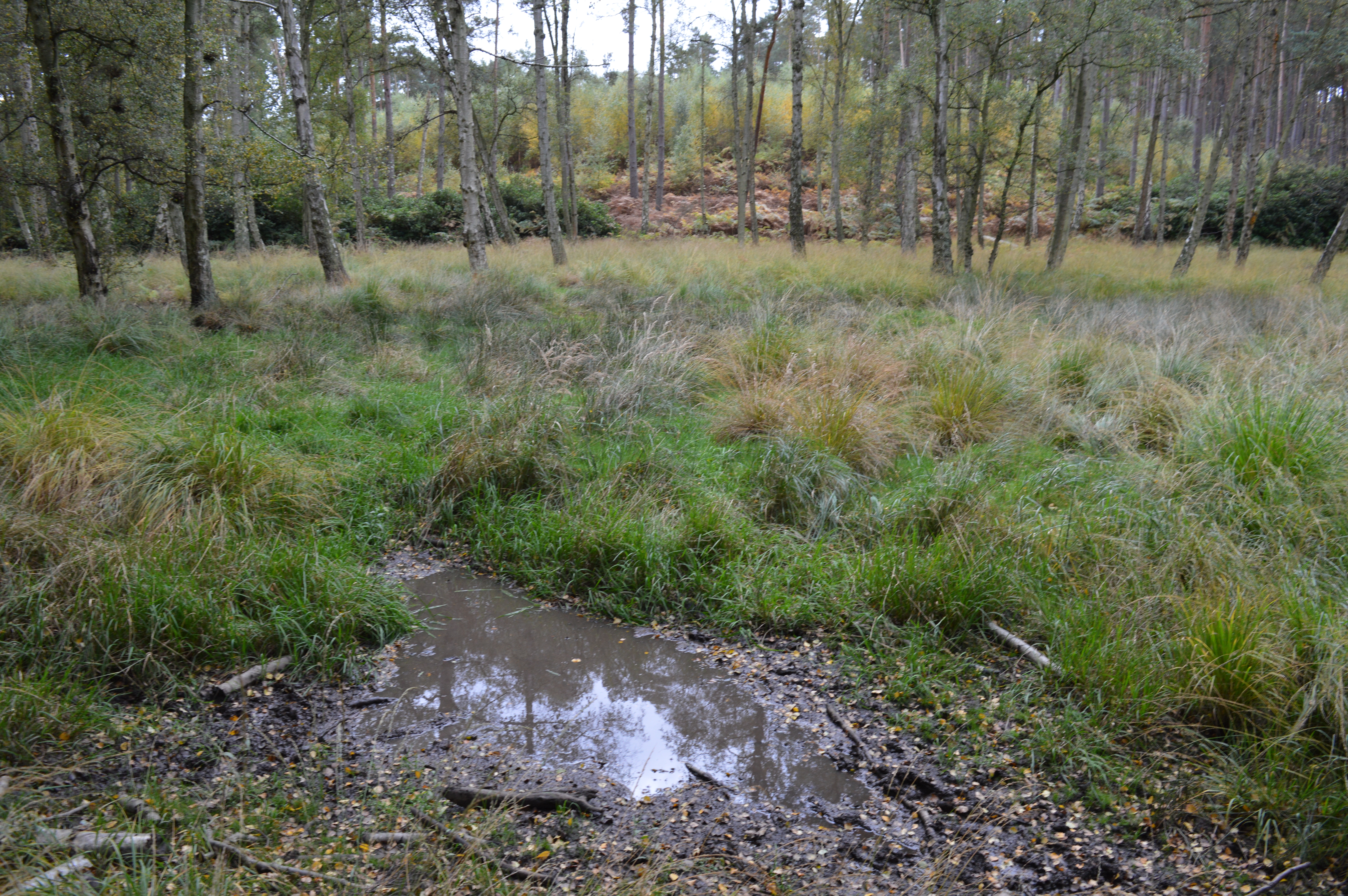
Bow Brickhill Heath is a picturesque area located in Buckinghamshire, England. Covering an expansive area of downs and moorland, it offers visitors a unique and diverse landscape. The heath is situated near the village of Bow Brickhill, just a few miles southeast of Milton Keynes.
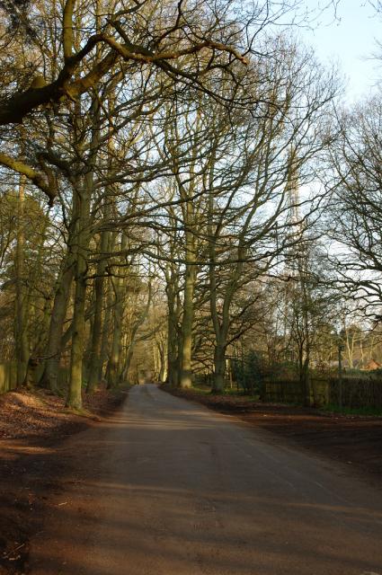
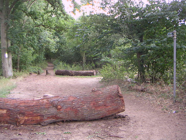
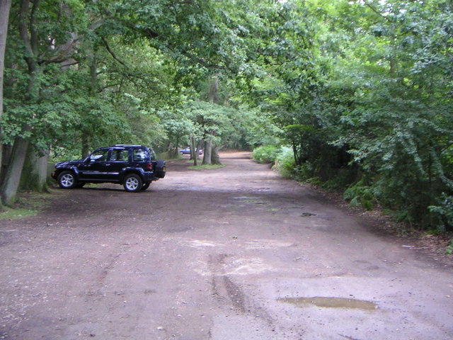
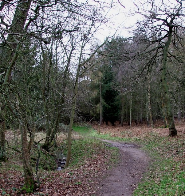
The heath is characterized by its rolling hills, open grasslands, and scattered woodland areas. It is a haven for wildlife enthusiasts, as it provides a home to a variety of plant and animal species. Visitors can spot indigenous birds, such as skylarks and stonechats, as well as rare butterflies and insects. The heath's diverse flora includes heather, gorse, and bracken, creating a stunning display of colors throughout the year.
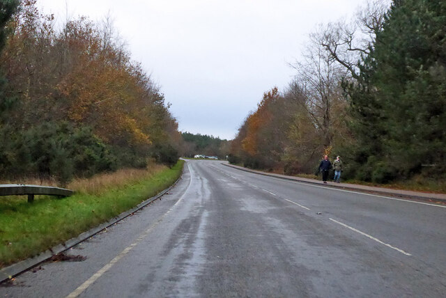
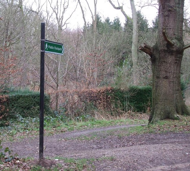
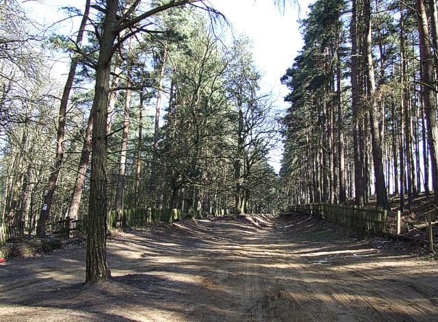
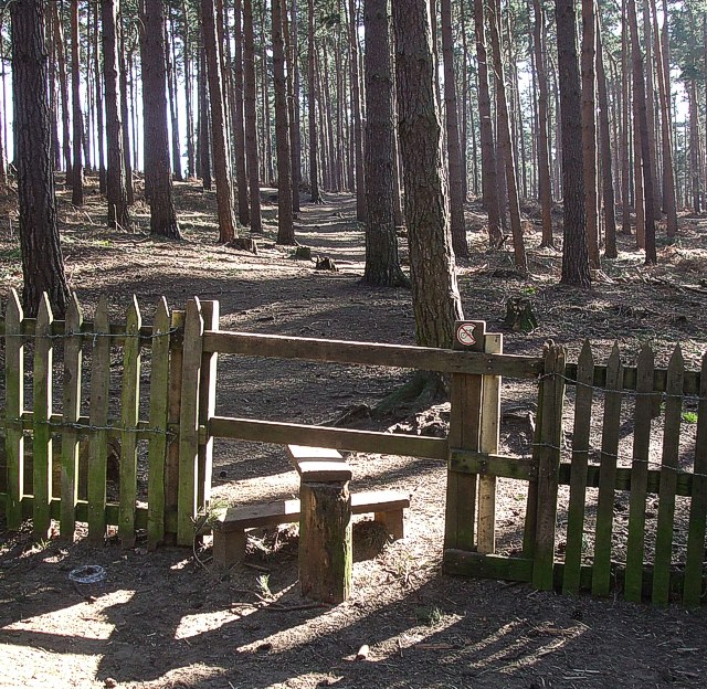
The area is popular among hikers and nature lovers, offering numerous trails and pathways that wind through the heath. These paths provide breathtaking views of the surrounding countryside, making it a delightful place for a leisurely stroll or a more challenging hike. Additionally, the heath is intersected by the well-known Greensand Ridge Walk, allowing visitors to explore even further afield.
Bow Brickhill Heath is also of historical significance. It is believed to have been a meeting place for ancient peoples, and remnants of an Iron Age hillfort can still be seen today. These archaeological features add an extra layer of intrigue to the area, attracting history enthusiasts and researchers alike.
Overall, Bow Brickhill Heath is a natural gem in Buckinghamshire, offering a tranquil escape from the hustle and bustle of nearby towns. With its stunning landscape, rich biodiversity, and historical significance, it is a must-visit destination for anyone seeking a connection with nature and a glimpse into the region's past.
If you have any feedback on the listing, please let us know in the comments section below.
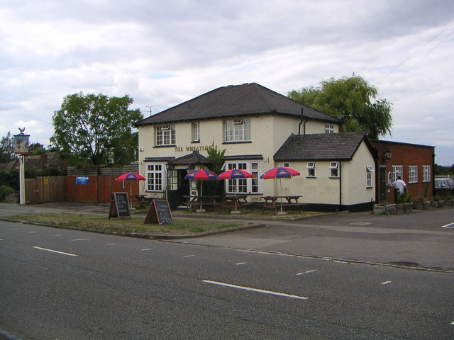
Bow Brickhill Heath Images
Images are sourced within 2km of 51.999373/-0.66564517 or Grid Reference SP9134. Thanks to Geograph Open Source API. All images are credited.


Bow Brickhill Heath is located at Grid Ref: SP9134 (Lat: 51.999373, Lng: -0.66564517)
Unitary Authority: Milton Keynes
Police Authority: Thames Valley
What 3 Words
///refers.bricks.armrests. Near Bow Brickhill, Buckinghamshire
Nearby Locations
Related Wikis

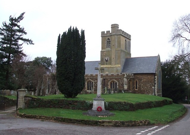
All Saints Church, Bow Brickhill
All Saints’ Church, Bow Brickhill is a Grade II* listed parish church in the Church of England in Bow Brickhill, Buckinghamshire, to the south-east of...
St Mary the Virgin, Great Brickhill
St Mary the Virgin's Church, Great Brickhill is a Grade II* listed parish church in the Church of England in Great Brickhill, Buckinghamshire. == History... ==

2016 Women's British Open
The 2016 Ricoh Women's British Open was played 28–31 July in England at the Woburn Golf and Country Club near Milton Keynes, Buckinghamshire, northwest...
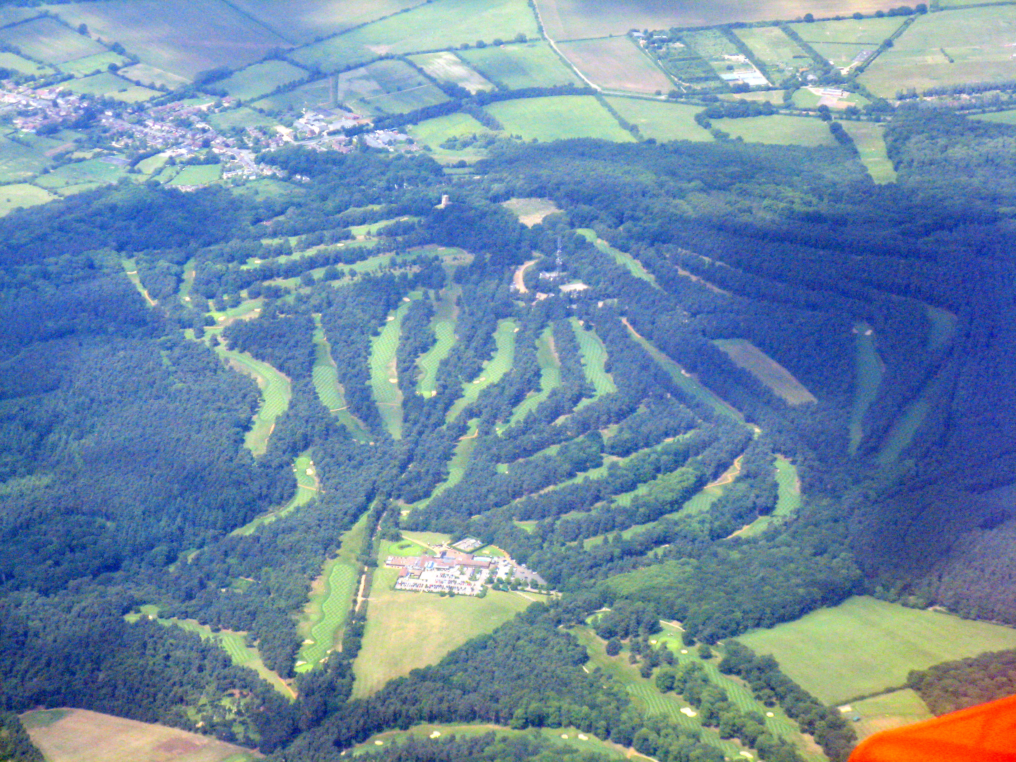
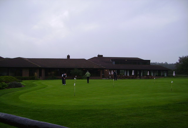
Woburn Golf and Country Club
Woburn Golf Club is a golf club in England located in Little Brickhill, near Milton Keynes within the county of Bedfordshire, about fifty miles (80 km...
2019 Women's British Open
The 2019 AIG Women's British Open was played from 1–4 August in England at Woburn Golf Club in Milton Keynes, Buckinghamshire, fifty miles (80 km) northwest...
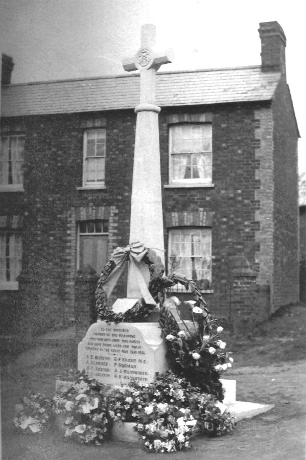
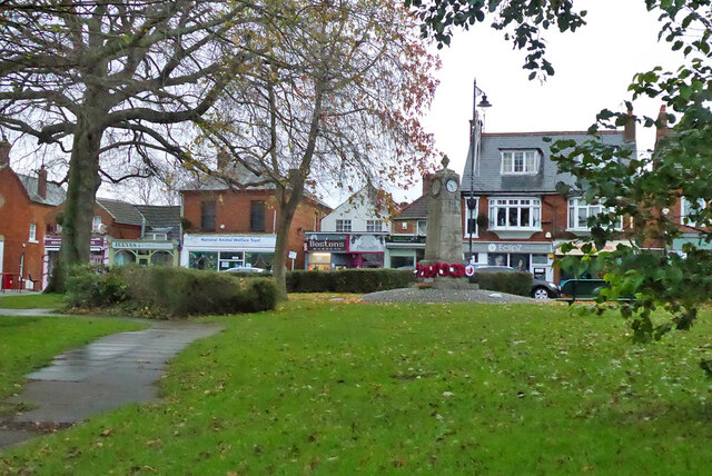
Bow Brickhill War Memorial
The Bow Brickhill War Memorial is located on the Village Green, at Church Road, Bow Brickhill, Buckinghamshire, England. It is a grade II listed building...
Bow Brickhill
Bow Brickhill is a village and civil parish in the unitary authority area of the City of Milton Keynes, Buckinghamshire, England. It is bounded to the...
Wavendon Heath Ponds
Wavendon Heath Ponds is a 4.7-hectare (12-acre) biological Site of Special Scientific Interest in Aspley Heath in Bedfordshire. It was notified in 1986...
Nearby Amenities
Located within 500m of 51.999373,-0.66564517Have you been to Bow Brickhill Heath?
Leave your review of Bow Brickhill Heath below (or comments, questions and feedback).