West Field

Downs, Moorland in Yorkshire

England

West Field

Along the B1248 Looking along Beverley Road to the north west of Wetwang.
Along the B1248 Credit: DS Pugh

The requested URL returned error: 429 Too Many Requests

If you have any feedback on the listing, please let us know in the comments section below.
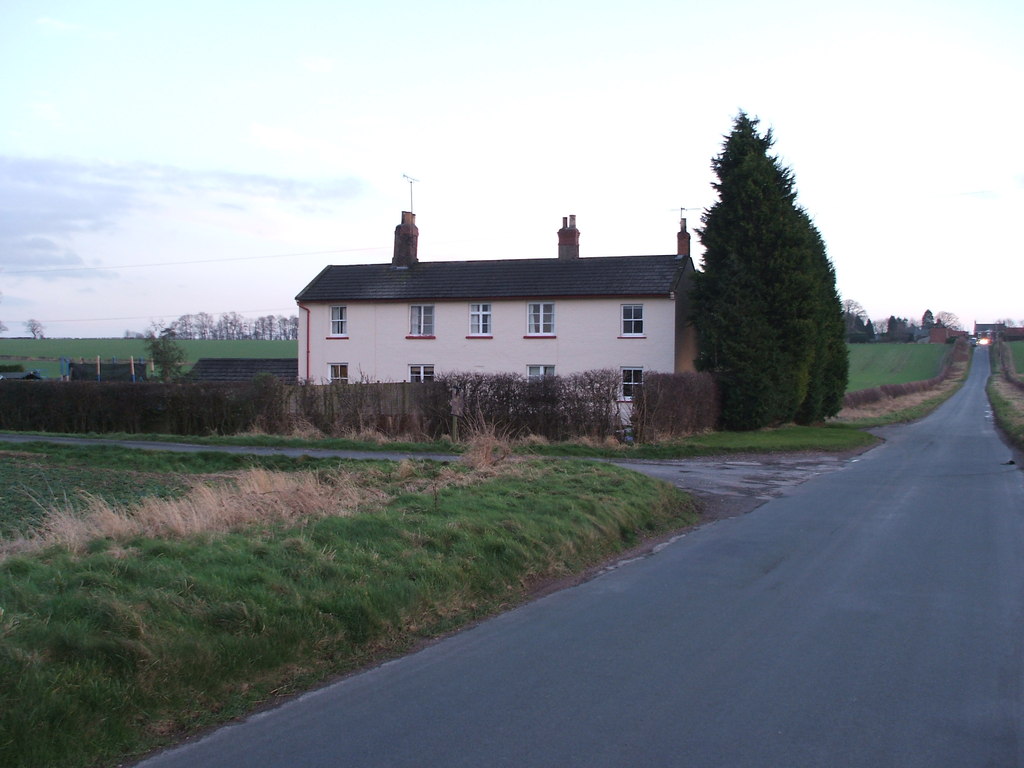
West Field Images

Images are sourced within 2km of 54.018543/-0.60406207 or Grid Reference SE9158. Thanks to Geograph Open Source API. All images are credited.

Along the B1248 Looking along Beverley Road to the north west of Wetwang.
Along the B1248
Looking along Beverley Road to the north west of Wetwang.
Green Lane off Beverley Road Looking along Green Lane which runs north of Wetwang.
Green Lane off Beverley Road
Looking along Green Lane which runs north of Wetwang.
Green Lane north of Wetwang Looking along Green Lane which runs to the north of Wetwang. This section is to the east of Beverley Road.
Green Lane north of Wetwang
Looking along Green Lane which runs to the north of Wetwang. This section is to the east of Beverley Road.
Course of the former railway Looking along part of the Malton and Driffield railway. Part of the line is being restored into a heritage line.
Course of the former railway
Looking along part of the Malton and Driffield railway. Part of the line is being restored into a heritage line.
Former railway line Looking along part of the Malton and Driffield line from Green Lane. The initial aim of the Yorkshire Wolds Railway is to restore the line from Fimber Halt to here.
Former railway line
Looking along part of the Malton and Driffield line from Green Lane. The initial aim of the Yorkshire Wolds Railway is to restore the line from Fimber Halt to here.
Farm beside Beverley Road Looking towards a farm on the west of Wetwang.
Farm beside Beverley Road
Looking towards a farm on the west of Wetwang.
B1248 west of Wetwang Looking along Beverley Road.
B1248 west of Wetwang
Looking along Beverley Road.
Flags in Wetwang Looking along Main Street. The flags are for the Diamond Jubilee.
Flags in Wetwang
Looking along Main Street. The flags are for the Diamond Jubilee.
House in Wetwang Looking towards a house in Wetwang during the village scarecrow festival.
House in Wetwang
Looking towards a house in Wetwang during the village scarecrow festival.
St. Nicholas Church Looking towards the Church in Wetwang on Church Lane.
St. Nicholas Church
Looking towards the Church in Wetwang on Church Lane.
Pulham Lane Looking along Pulham Lane in Wetwang. Note the scarecrow, part of the village scarecrow festival, above the postbox.
Pulham Lane
Looking along Pulham Lane in Wetwang. Note the scarecrow, part of the village scarecrow festival, above the postbox.
Field beside Southfield Road Looking across farmland from Wetwang.
Field beside Southfield Road
Looking across farmland from Wetwang.
Southfield Road Looking along Southfield Road in the village of Wetwang.
Southfield Road
Looking along Southfield Road in the village of Wetwang.
Thorndale Lane Looking along a lane near Wetwang.
Thorndale Lane
Looking along a lane near Wetwang.
Along Thorndale Lane Looking along Thorndale Lane to the south of Wetwang.
Along Thorndale Lane
Looking along Thorndale Lane to the south of Wetwang.
Bridleway in Thorn Dale Leading towards Tibthorpe.
Bridleway in Thorn Dale
Leading towards Tibthorpe.
Looking up Thorndale Lane Looking along a lane towards Wetwang.
Looking up Thorndale Lane
Looking along a lane towards Wetwang.
Road towards Huggate Lodge Looking along Thorndale Lane leading towards Huggate.
Road towards Huggate Lodge
Looking along Thorndale Lane leading towards Huggate.
Show me another place!

West Field is located at Grid Ref: SE9158 (Lat: 54.018543, Lng: -0.60406207)

Division: East Riding

Unitary Authority: East Riding of Yorkshire

Police Authority: Humberside

What 3 Words

///detect.unloaded.diver. Near Wetwang, East Yorkshire

Nearby Locations

West Field

Related Wikis

Wetwang

Wetwang is a Yorkshire Wolds village and civil parish in the East Riding of Yorkshire, England, 6 miles (10 kilometres) west of Driffield on the A166 road...

Yorkshire Wolds Railway

The Yorkshire Wolds Railway is a preserved railway in the East Riding of Yorkshire, England. It is located on a section of the Malton and Driffield Junction...

Wetwang railway station

Wetwang railway station (SE933596) was a railway station on the Malton & Driffield Railway in the East Riding of Yorkshire, England. It served the village...

Wetwang Slack

Wetwang Slack is an Iron Age archaeological site containing remains of the Arras culture and chariot burial tradition of East Yorkshire. Archaeological...

Nearby Amenities

Located within 500m of 54.018543,-0.60406207
Barrier: kissing_gate
Lat/Long: 54.0140825/-0.6050225
Barrier: kissing_gate
Lat/Long: 54.0145998/-0.6036383
Information: route_marker
Material: wood
Tourism: information
Lat/Long: 54.0182942/-0.5994552
Material: wood
Power: pole
Lat/Long: 54.022254/-0.6071605
Material: wood
Power: pole
Lat/Long: 54.0217964/-0.6058678
Material: wood
Power: pole
Lat/Long: 54.0213141/-0.6044819
Material: wood
Power: pole
Lat/Long: 54.0208186/-0.6031053
Material: wood
Power: pole
Lat/Long: 54.0204729/-0.6021497
Material: wood
Power: pole
Lat/Long: 54.0197596/-0.6000799
Material: wood
Power: pole
Lat/Long: 54.0201129/-0.6010893
Material: wood
Power: pole
Lat/Long: 54.0193846/-0.5990091
Material: wood
Power: pole
Lat/Long: 54.018979/-0.5979106
Material: wood
Power: pole
Switch: mechanical
Lat/Long: 54.0185352/-0.5966204
The data included in this document is from www.openstreetmap.org. The data is made available under ODbL.

Have you been to West Field?

Leave your review of West Field below (or comments, questions and feedback).