Western Plantation

Downs, Moorland in Lincolnshire North Kesteven

England

Western Plantation

Farmland and path in the parish of Broadholme
Farmland and path in the parish of Broadholme Credit: Neil Theasby

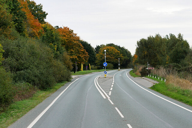
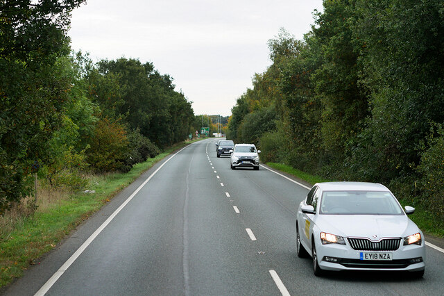
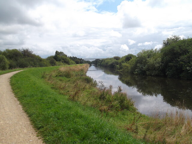
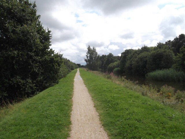
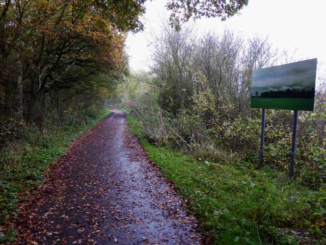
Western Plantation is a picturesque area located in Lincolnshire, England. Situated amidst the stunning Downs and Moorland landscape, it offers a unique blend of natural beauty and historical significance. Spanning over a vast expanse, Western Plantation is home to an array of native flora and fauna, making it a haven for nature enthusiasts.

The area boasts a diverse range of plant species, including oak, beech, and birch trees, which provide a rich habitat for various wildlife such as deer, foxes, and rabbits. The rolling hills and open spaces are ideal for walking, cycling, and horseback riding, attracting outdoor enthusiasts and adventure seekers all year round.

In addition to its natural allure, Western Plantation holds historical significance. It is believed to have been used as a hunting ground for the nobility during medieval times. The remnants of old hunting lodges and gamekeepers' cottages can still be found scattered throughout the area, giving visitors a glimpse into its past.

The landscape of Western Plantation is ever-changing, with the seasons bringing different colors and textures. Spring brings vibrant flowers and blossoms, while autumn paints the trees in a stunning array of golds and reds. The open moorland offers breathtaking views of the surrounding countryside, making it a popular spot for photographers and nature lovers alike.

Overall, Western Plantation, Lincolnshire (Downs, Moorland) is a captivating destination that seamlessly combines natural beauty and historical charm. Whether one seeks tranquility in nature or wishes to delve into the region's rich heritage, this area offers a delightful experience for all who visit.

If you have any feedback on the listing, please let us know in the comments section below.

Western Plantation Images

Images are sourced within 2km of 53.2478/-0.63125178 or Grid Reference SK9173. Thanks to Geograph Open Source API. All images are credited.

Farmland and path in the parish of Broadholme
Bridge over a drain east of Manor Farm
Footbridge crossing a drain north of Carr Farm
The Fossdike Navigation, Saxilby The pondweed or algae suggests that this canal is not used much now. There were strange ripples in the open area of water suggesting that water was welling up from a spring. The canal was constructed by the Romans c.120, scoured after neglect in 1121 and reconstructed in 1744.
The Fossdike Navigation, Saxilby
The pondweed or algae suggests that this canal is not used much now. There were strange ripples in the open area of water suggesting that water was welling up from a spring. The canal was constructed by the Romans c.120, scoured after neglect in 1121 and reconstructed in 1744.
Lincoln Road, East of Saxilby
Saxilby Road (A57) near Odder
A57, Burton Fen
A57, Burton Fen
Fossdyke Canal, Saxilby Enterprise Park The Foss Dyke, or Fossdyke Navigation, dates back to Roman times, giving it a strong claim to be Britain’s oldest canal. 

The Romans built the Foss Dyke (or Fossdyke) ca120 AD, to connect the River Witham to the River Trent. The canal decayed after the departure of the Roman army until the channel was re-established in 1121, during the reign of King Henry I. During the next few centuries the channel regularly silted up making it almost unusable and it was not until 1744 that a reliable channel was created and maintained. Improvements made in 1671 included a navigable sluice or lock at Torksey, and warehousing and wharves were built at Brayford Pool in the centre of Lincoln.

Unlike many canals, the Foss Dyke never closed. Despite the demise of general commercial traffic caused by competition from the railways in the nineteenth and early twentieth centuries, the canal continued to carry grain traffic until 1972.
Fossdyke Canal, Saxilby Enterprise Park
The Foss Dyke, or Fossdyke Navigation, dates back to Roman times, giving it a strong claim to be Britain’s oldest canal. The Romans built the Foss Dyke (or Fossdyke) ca120 AD, to connect the River Witham to the River Trent. The canal decayed after the departure of the Roman army until the channel was re-established in 1121, during the reign of King Henry I. During the next few centuries the channel regularly silted up making it almost unusable and it was not until 1744 that a reliable channel was created and maintained. Improvements made in 1671 included a navigable sluice or lock at Torksey, and warehousing and wharves were built at Brayford Pool in the centre of Lincoln. Unlike many canals, the Foss Dyke never closed. Despite the demise of general commercial traffic caused by competition from the railways in the nineteenth and early twentieth centuries, the canal continued to carry grain traffic until 1972.
Approaching Odder Farm
The old road near Odder Farm
Fossdyke Navigation
Fossdyke Navigation
Path by Fossdyke Navigation
The Lodge Cottage at Broadholme - the datestone reads 1872
The Lodge
Cottage at Broadholme - the datestone reads 1872
Carr Farm fields Rollers and farmland near Carr Farm with Skellingthorpe Old Wood beyond
Carr Farm fields
Rollers and farmland near Carr Farm with Skellingthorpe Old Wood beyond
A meeting of the ways Where the footpath joins the bridleway near Hall Farm at Broadholme
A meeting of the ways
Where the footpath joins the bridleway near Hall Farm at Broadholme
Footbridge at Broadholme Footpath north from the bridleway near Hall Farm
Footbridge at Broadholme
Footpath north from the bridleway near Hall Farm
Manor Farm, Broadholme Broadholme was once the most easterly parish in Nottinghamshire but it was transferred to Lincolnshire under the 1974 local government reorganisation.
Manor Farm, Broadholme
Broadholme was once the most easterly parish in Nottinghamshire but it was transferred to Lincolnshire under the 1974 local government reorganisation.
Painting the view
Painting the view
Show me another place!

Western Plantation is located at Grid Ref: SK9173 (Lat: 53.2478, Lng: -0.63125178)

Administrative County: Lincolnshire

District: North Kesteven

Police Authority: Lincolnshire

What 3 Words

///sofas.fuses.tourist. Near Skellingthorpe, Lincolnshire

Nearby Locations

Western Plantation

Related Wikis

Skellingthorpe

Skellingthorpe is a village and civil parish in the North Kesteven district of Lincolnshire, England. The population of the village at the 2011 census...

Skellingthorpe railway station (Lancashire, Derbyshire and East Coast Railway)

Skellingthorpe (Lancashire, Derbyshire and East Coast Railway) railway station is one of two former railway stations in Skellingthorpe, Lincolnshire, England...

Broadholme Priory

Broadholme Priory was a convent of canonesses of the Premonstratensian Order located near to the village of Broadholme. Historically in Nottinghamshire...

Broadholme

Broadholme is a village and civil parish in the West Lindsey district of Lincolnshire, England. It is situated 5 miles (8 km) west from the city and county...

Nearby Amenities

Located within 500m of 53.2478,-0.63125178
Chestnut Farm
Place: farm
Source: Bing
Lat/Long: 53.2468944/-0.6320786
The Larches
Place: locality
Source: Bing
Lat/Long: 53.2505523/-0.6288007
The data included in this document is from www.openstreetmap.org. The data is made available under ODbL.

Have you been to Western Plantation?

Leave your review of Western Plantation below (or comments, questions and feedback).