Headbourne Worthy

Settlement in Hampshire Winchester

England

Headbourne Worthy

Railway bridge- southbound A34
Railway bridge- southbound A34 Credit: Dave Thompson

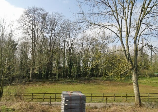
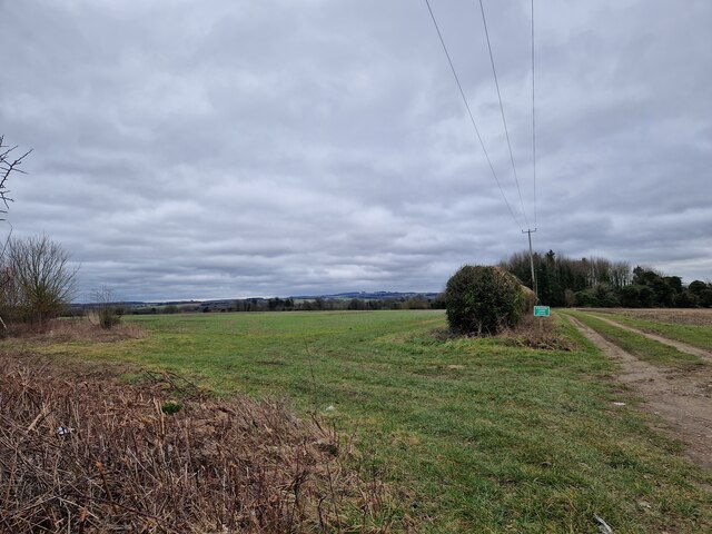
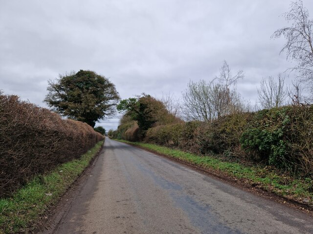
Headbourne Worthy is a small village situated in the county of Hampshire, England. Located approximately 3 miles northeast of the city of Winchester, it falls under the district of Winchester. The village is nestled in a picturesque rural setting, surrounded by scenic countryside and farmland.

The history of Headbourne Worthy can be traced back to the Roman times, with evidence of Roman pottery and coins found in the area. The name "Worthy" is derived from the Old English word "weorthig," meaning a homestead or farm.

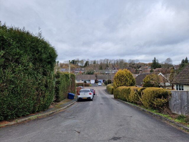
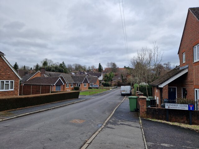
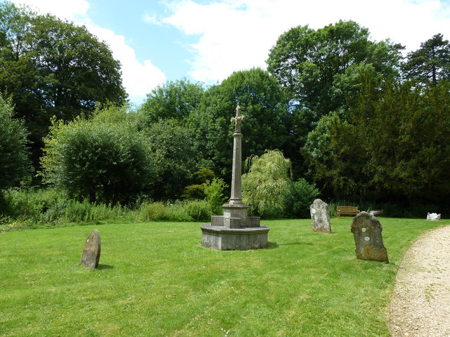
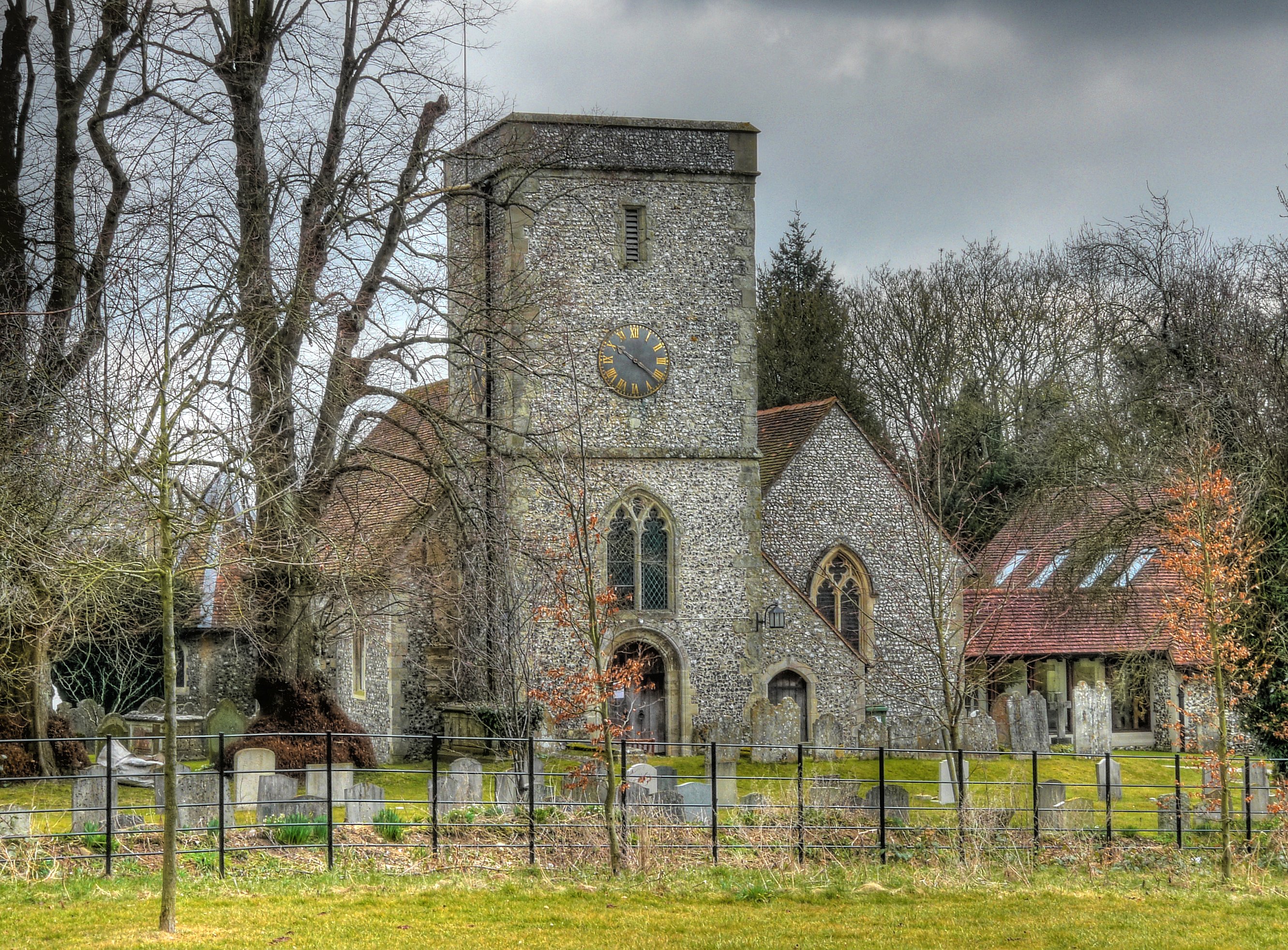
The village is characterized by its charming thatched-roof cottages and traditional English architecture. It is predominantly a residential area, with a close-knit community that enjoys a peaceful and tranquil atmosphere. The village church, St. Swithun's, is a prominent feature and dates back to the 12th century, boasting a beautiful Norman font.

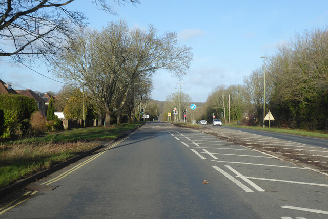
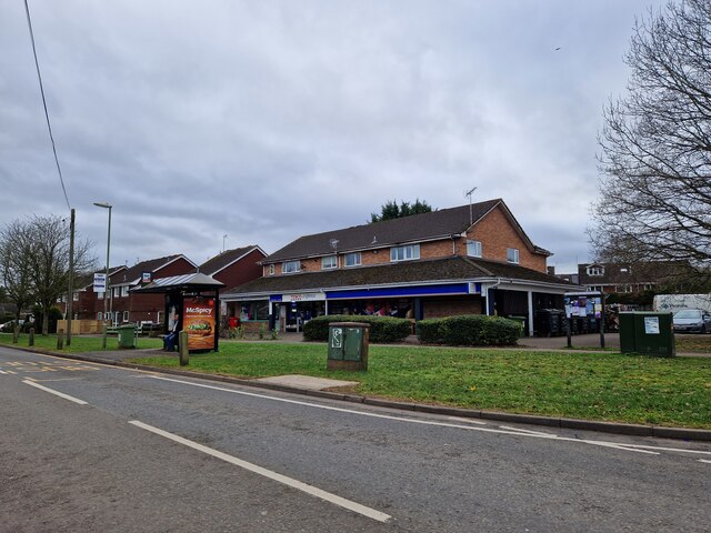
Although small in size, Headbourne Worthy benefits from its proximity to Winchester, offering residents easy access to a range of amenities and services. Winchester, with its historic cathedral, vibrant shopping center, and cultural attractions, provides a convenient hub for employment, education, and entertainment.

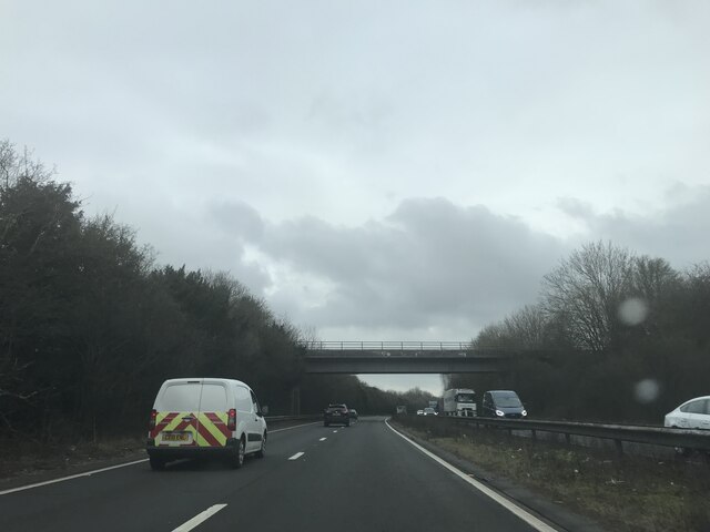
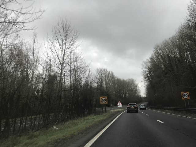
The surrounding countryside provides ample opportunities for outdoor activities, such as walking, cycling, and horse riding. The village is also well-connected to the wider region, with good transport links, including a nearby railway station and easy access to major road networks.

In summary, Headbourne Worthy is a charming village with a rich history, idyllic countryside surroundings, and convenient access to nearby amenities. It offers a peaceful and close-knit community for those seeking a rural lifestyle within reach of urban conveniences.

If you have any feedback on the listing, please let us know in the comments section below.

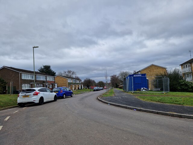
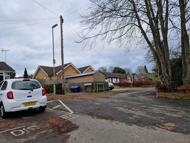
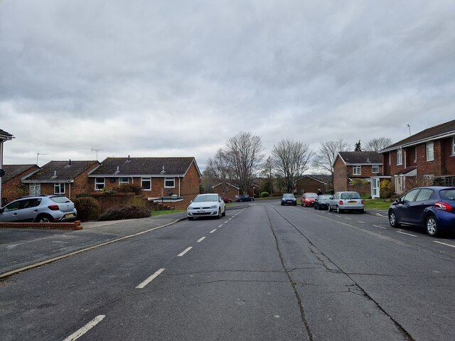
Headbourne Worthy Images

Images are sourced within 2km of 51.087769/-1.308995 or Grid Reference SU4832. Thanks to Geograph Open Source API. All images are credited.

Railway bridge- southbound A34
Speed limit change- southbound A34
Footpath descending from Down Farm Lane The footpath descends a series of steps to an underpass beneath the A34 dual carriageway.
Footpath descending from Down Farm Lane
The footpath descends a series of steps to an underpass beneath the A34 dual carriageway.
Charters Community Stadium Home of Winchester City Football Club.
Charters Community Stadium
Home of Winchester City Football Club.
Main entrance - Charters Community Stadium
Grazing near King's Worthy
B3420 Andover Road North leaving Winchester A Roman route.
B3420 Andover Road North leaving Winchester
A Roman route.
Harestock Road Bounding suburban Winchester, which is to the left.
Harestock Road
Bounding suburban Winchester, which is to the left.
Roberts Close: mid February 2023
Wandering westwards along the Bashire (41) Bus stop outside Tesco Express, King's Worthy
Wandering westwards along the Bashire (41)
Bus stop outside Tesco Express, King's Worthy
Looking southwards along Fraser Road
Wandering westwards along the Bashire (40) Looking from Mountbatten Place into Sherwood Close
Wandering westwards along the Bashire (40)
Looking from Mountbatten Place into Sherwood Close
Tovey Place: mid February 2023
Andover Road North: mid February 2023
Farmland south-east of the road to Headbourne Worthy
Wandering westwards along the Bashire (42) Looking south-east in Down Farm Lane
Wandering westwards along the Bashire (42)
Looking south-east in Down Farm Lane
Footpath from Down Farm Lane to the sewage works
Junction of Glendeep Close with Bentley Close
Show me another place!

Headbourne Worthy is located at Grid Ref: SU4832 (Lat: 51.087769, Lng: -1.308995)

Administrative County: Hampshire

District: Winchester

Police Authority: Hampshire

What 3 Words

///daylight.prepped.amused. Near Kings Worthy, Hampshire

Related Wikis

Headbourne Worthy

Headbourne Worthy (formerly Worthy Mortimer) is a village and former manor within the City of Winchester district of Hampshire, England. The parish also...

King's Worthy railway station

King's Worthy railway station was a station on the Didcot, Newbury and Southampton Railway in England. It was built in 1909 as a direct petition from local...

Kings Worthy

Kings Worthy is a village and civil parish in Hampshire, England, approximately two miles north-east of Winchester. Kings Worthy was a tithing of Barton...

The Worthys

The Worthys is a cluster of villages in the City of Winchester district of Hampshire, located north and north-east of the city itself. Abbots Worthy...

Nearby Amenities

Located within 500m of 51.087769,-1.308995
Bus Stop
Taylors Corner
Bus: yes
Naptan AtcoCode: 1900HA110178
Naptan Bearing: SW
Naptan CommonName: Taylors Corner
Naptan Crossing: Bedfield Lane
Naptan NaptanCode: hamdjdpg
Naptan PlusbusZoneRef: WNCHSTR
Naptan Street: London Road A3090
Naptan Verified: no
Public Transport: platform
Source: naptan_import
Lat/Long: 51.086781/-1.302782
Bus Stop
Taylors Corner
Bus: yes
Naptan AtcoCode: 1900HAA13713
Naptan Bearing: E
Naptan BusStopType: CUS
Naptan CommonName: Taylors Corner
Naptan Crossing: Bedfield Lane
Naptan NaptanCode: hamdjdmt
Naptan PlusbusZoneRef: WNCHSTR
Naptan Street: London Road A3090
Naptan Verified: no
Public Transport: platform
Source: naptan_import
Lat/Long: 51.0867738/-1.3030963
Post Box
Post Box Type: lamp
Ref: SO23 18D
Royal Cypher: EIIR
Royal Cypher Wikidata: Q33102113
Lat/Long: 51.086773/-1.3037066
Nursing Home
The Dower House
Lat/Long: 51.0890343/-1.3052716
Headbourne Worthy
Place: village
Wikidata: Q5689529
Wikipedia: en:Headbourne Worthy
Lat/Long: 51.0877488/-1.3092124
Parking
Cobbs
Access: customers
Parking: surface
Lat/Long: 51.0883031/-1.3083848
Crossing
Crossing: unmarked
Crossing Markings: no
Kerb: lowered
Lat/Long: 51.0850667/-1.3050013
Crossing
Bicycle: yes
Crossing Island: yes
Kerb: lowered
Lat/Long: 51.0866676/-1.3033557
Crossing
Bicycle: yes
Crossing: unmarked
Crossing Markings: no
Kerb: lowered
Lat/Long: 51.085161/-1.3048358
Crossing
Bicycle: yes
Crossing: unmarked
Crossing Markings: no
Kerb: lowered
Lat/Long: 51.0864287/-1.303684
Crossing
Crossing: unmarked
Crossing Markings: no
Kerb: lowered
Lat/Long: 51.0868315/-1.304078
Cafe
Cobbs
Addr City: Winchester
Addr Postcode: SO23 7LD
Addr Street: Springvale Road, Headbourne Worthy
Website: https://www.cobbsfarmshops.co.uk/cobbs-winchester
Lat/Long: 51.0883514/-1.3086786
Crossing
Bicycle: yes
Crossing: unmarked
Crossing Markings: no
Kerb: lowered
Lat/Long: 51.0851001/-1.3048733
Church Paddock Fishery
Leisure: fishing
Lat/Long: 51.0871708/-1.3057894
Post Box
Post Box Type: pillar
Ref: SO23 229
Royal Cypher: EIIR
Royal Cypher Wikidata: Q33102113
Lat/Long: 51.0871958/-1.3091755
Barrier: yes
Lat/Long: 51.0874821/-1.3090433
Crossing
Lat/Long: 51.0867993/-1.3039004
Crossing
Lat/Long: 51.0885005/-1.3071653
Traffic Signals
Traffic Signals: signal
Traffic Signals Direction: forward
Lat/Long: 51.0858909/-1.3149598
Traffic Signals
Traffic Signals: signal
Traffic Signals Direction: backward
Lat/Long: 51.0858014/-1.3139043
The data included in this document is from www.openstreetmap.org. The data is made available under ODbL.

Have you been to Headbourne Worthy?

Leave your review of Headbourne Worthy below (or comments, questions and feedback).