Harlaxton Park

Downs, Moorland in Lincolnshire South Kesteven

England

Harlaxton Park

Bend where Gorse Lane breaks away from the line of the Roman road For most of its length from its junction with the A607 near Croxgton Kerial (behind), Gorse Lane follows the line of a Roman road, the Salt Way. Margary provides evidence that the line of the Roman road continued straight ahead at the bend, running into the field beyond the hedge on the right, from where it continued on a straight course to Saltersford on the River Witham <span class="nowrap"><a title="https://archive.org/details/in.gov.ignca.6845" rel="nofollow ugc noopener" href="https://archive.org/details/in.gov.ignca.6845">Link</a><img style="margin-left:2px;" alt="External link" title="External link - shift click to open in new window" src="https://s1.geograph.org.uk/img/external.png" width="10" height="10"/></span>.
Bend where Gorse Lane breaks away from the line of the Roman road Credit: Tim Heaton

Harlaxton Park is a magnificent country estate located in Lincolnshire, England. Situated within the tranquil landscape of Downs and Moorland, the park offers a picturesque setting that attracts visitors from near and far.

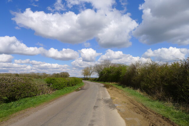
Covering an expansive area of lush greenery, Harlaxton Park boasts stunning gardens and parklands that showcase the beauty of the surrounding countryside. The estate features well-manicured lawns, vibrant flower beds, and majestic trees, creating a serene and idyllic atmosphere.

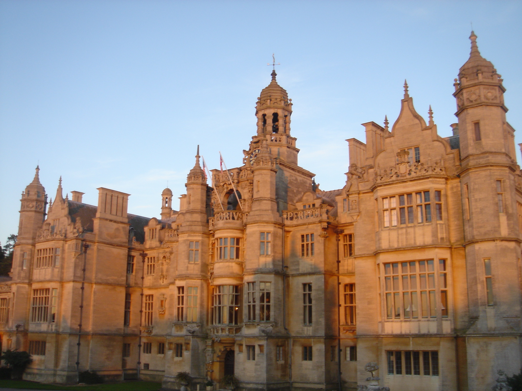
The centerpiece of Harlaxton Park is the grand Harlaxton Manor, a magnificent Jacobean-style mansion that dates back to the 19th century. This architectural gem is renowned for its impressive size and intricate detailing, making it a popular destination for history enthusiasts and architecture aficionados.

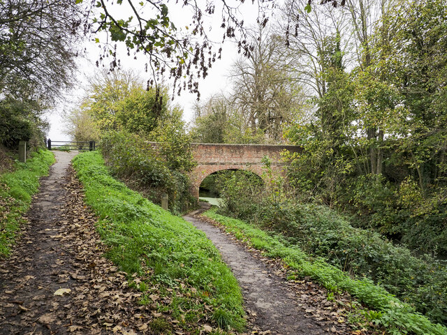
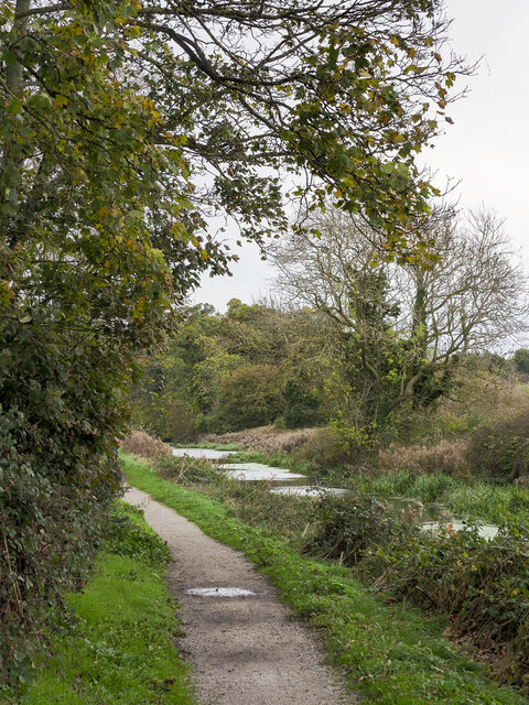
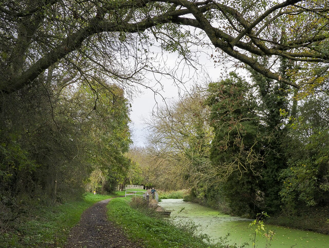
Aside from its natural and architectural wonders, Harlaxton Park offers a range of amenities and activities for visitors to enjoy. The estate provides ample walking trails, allowing visitors to explore the vast grounds and discover hidden gems along the way. Additionally, the park offers picnic areas, perfect for enjoying a leisurely lunch surrounded by the beauty of nature.

Harlaxton Park is also home to various events and exhibitions throughout the year. From art exhibitions to music festivals, the estate provides a platform for cultural enrichment and entertainment. These events attract a diverse range of visitors, contributing to the vibrant and inclusive atmosphere of the park.

In conclusion, Harlaxton Park in Lincolnshire is a captivating destination that combines natural beauty, historical significance, and recreational opportunities. Whether one seeks tranquility in nature, a glimpse into the past, or a lively cultural experience, Harlaxton Park offers something for everyone.

If you have any feedback on the listing, please let us know in the comments section below.

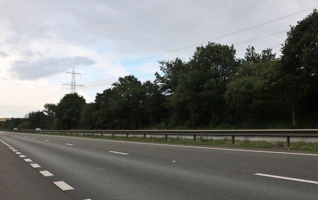
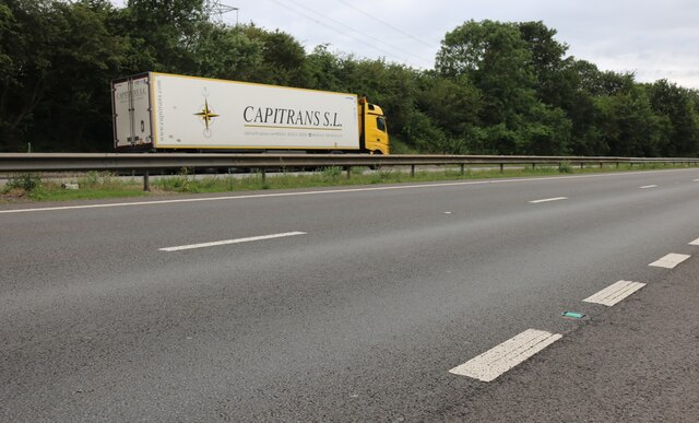
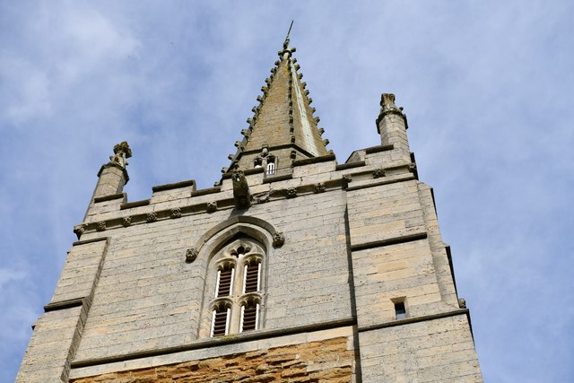
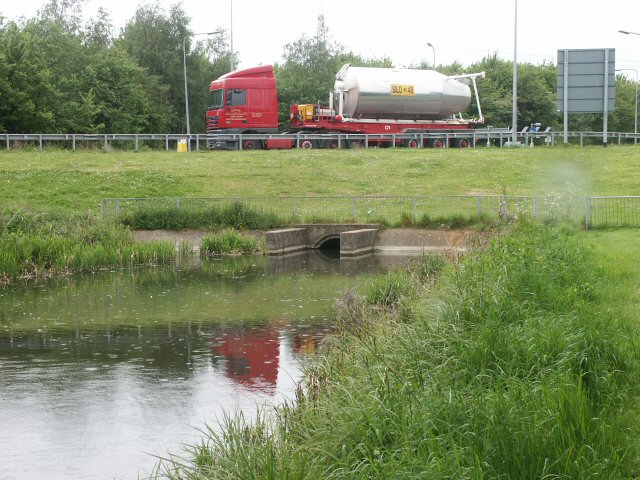
Harlaxton Park Images

Images are sourced within 2km of 52.887178/-0.67182737 or Grid Reference SK8933. Thanks to Geograph Open Source API. All images are credited.

Bend where Gorse Lane breaks away from the line of the Roman road For most of its length from its junction with the A607 near Croxgton Kerial (behind), Gorse Lane follows the line of a Roman road, the Salt Way. Margary provides evidence that the line of the Roman road continued straight ahead at the bend, running into the field beyond the hedge on the right, from where it continued on a straight course to Saltersford on the River Witham <span class="nowrap"><a title="https://archive.org/details/in.gov.ignca.6845" rel="nofollow ugc noopener" href="https://archive.org/details/in.gov.ignca.6845">Link</a><img style="margin-left:2px;" alt="External link" title="External link - shift click to open in new window" src="https://s1.geograph.org.uk/img/external.png" width="10" height="10"/></span>.
Bend where Gorse Lane breaks away from the line of the Roman road
For most of its length from its junction with the A607 near Croxgton Kerial (behind), Gorse Lane follows the line of a Roman road, the Salt Way. Margary provides evidence that the line of the Roman road continued straight ahead at the bend, running into the field beyond the hedge on the right, from where it continued on a straight course to Saltersford on the River Witham LinkExternal link.
Grantham Canal north of Harlaxton Here the canal is seen heading to the east, towards Harlaxton Bridge, which is out of sight around the bend.
Grantham Canal north of Harlaxton
Here the canal is seen heading to the east, towards Harlaxton Bridge, which is out of sight around the bend.
Vincent Bridge on the Grantham Canal The west face of bridge No. 67, Vincent Bridge.
Vincent Bridge on the Grantham Canal
The west face of bridge No. 67, Vincent Bridge.
Canal heading north of east towards Grantham The Grantham Canal approaching its severance short of the original terminus in the town of Grantham. Within a kilometre of this location, by the creation of the A1 Grantham bypass, a stretch of the original line of the waterway has been obliterated.
Canal heading north of east towards Grantham
The Grantham Canal approaching its severance short of the original terminus in the town of Grantham. Within a kilometre of this location, by the creation of the A1 Grantham bypass, a stretch of the original line of the waterway has been obliterated.
Grantham Canal meeting the A1 bypass The Grantham Canal once entered the town itself but by 1962 the A1 road had been completely rerouted to bypass the town on its western side. That work severed the canal short of its terminus and now has the main length of the waterway ending at the location at the centre of the image just beyond a pontoon on which a resting walker can be seen. There's a break in the pontoon now (November 2022); Mat Fascione's image from 2014 shows it intact - <a title="https://www.geograph.org.uk/photo/5253730" href="https://www.geograph.org.uk/photo/5253730">Link</a> .
Grantham Canal meeting the A1 bypass
The Grantham Canal once entered the town itself but by 1962 the A1 road had been completely rerouted to bypass the town on its western side. That work severed the canal short of its terminus and now has the main length of the waterway ending at the location at the centre of the image just beyond a pontoon on which a resting walker can be seen. There's a break in the pontoon now (November 2022); Mat Fascione's image from 2014 shows it intact - Link .
The A1, Grantham
The A1, Grantham
The A1, Grantham
The A1, Grantham
Harlaxton, St. Mary and St. Peter's Church: The tower and spire
Great North Road, Grantham The A1 just south of Grantham
Great North Road, Grantham
The A1 just south of Grantham
Gorse Lane, Grantham This bridge carries Gorse Lane over the A1 at SK 909 335. The water tower is at SK 910 335
Gorse Lane, Grantham
This bridge carries Gorse Lane over the A1 at SK 909 335. The water tower is at SK 910 335
Farmland near Grantham These buildings, on Gorse Lane, were once a small industrial unit. Now they are used by Warren Farm. The A1 runs in the dip just over the horizon.
Farmland near Grantham
These buildings, on Gorse Lane, were once a small industrial unit. Now they are used by Warren Farm. The A1 runs in the dip just over the horizon.
Houses on Gorse Lane, Grantham Gorse Lane is a narrow country road between the A607 at Croxton Kerrial <a href="https://www.geograph.org.uk/gridref/SK8429">SK8429</a> and Spittlegate Level, the old Great North Road, just to the SE of Grantham. This row of houses, built in the 60s/70s, is quite isolated.
Houses on Gorse Lane, Grantham
Gorse Lane is a narrow country road between the A607 at Croxton Kerrial SK8429 and Spittlegate Level, the old Great North Road, just to the SE of Grantham. This row of houses, built in the 60s/70s, is quite isolated.
Grantham Canal roundabout Still with plenty of water in its channel, the canal is culverted under a new roundabout linking to an A1 slip-road.
Grantham Canal roundabout
Still with plenty of water in its channel, the canal is culverted under a new roundabout linking to an A1 slip-road.
Gorse Lane Water Tower A familiar landmark from the A1
Gorse Lane Water Tower
A familiar landmark from the A1
Grantham fire station Grantham fire station, Harlaxton Road, Grantham, Lincolnshire
Grantham fire station
Grantham fire station, Harlaxton Road, Grantham, Lincolnshire
Harlaxton, near Grantham A village where quirky houses and quaint cottages sit comfortably beside more modern dwellings.
Harlaxton, near Grantham
A village where quirky houses and quaint cottages sit comfortably beside more modern dwellings.
Lake at Harlaxton Manor A fine stone bridge takes the drive over the lake in Harlaxton Manor park
Lake at Harlaxton Manor
A fine stone bridge takes the drive over the lake in Harlaxton Manor park
The Gregory Arms, Harlaxton Named after the industrialist who built Harlaxton Manor, the Gregory Arms is on the A607, the busy main road from Melton Mowbray to Grantham. The local inn in the village had been the Golden Lion, housed in the premises now known as Wyggeston Farm. The story is that the Squire, John Sherwin Gregory, returning from church on Sunday, was upset to see his villagers drinking their pints of ale outside the public house, so he had a new inn built on the main road called The Gregory Arms.
The main village of Harlaxton is in the square to the south. There is a small housing estate behind the pub.
The Gregory Arms, Harlaxton
Named after the industrialist who built Harlaxton Manor, the Gregory Arms is on the A607, the busy main road from Melton Mowbray to Grantham. The local inn in the village had been the Golden Lion, housed in the premises now known as Wyggeston Farm. The story is that the Squire, John Sherwin Gregory, returning from church on Sunday, was upset to see his villagers drinking their pints of ale outside the public house, so he had a new inn built on the main road called The Gregory Arms. The main village of Harlaxton is in the square to the south. There is a small housing estate behind the pub.
Show me another place!

Harlaxton Park is located at Grid Ref: SK8933 (Lat: 52.887178, Lng: -0.67182737)

Administrative County: Lincolnshire

District: South Kesteven

Police Authority: Lincolnshire

What 3 Words

///motoring.lurching.fewest. Near Grantham, Lincolnshire

Nearby Locations

Harlaxton Park

Related Wikis

Harlaxton Manor

Harlaxton Manor is a Victorian country house in Harlaxton, Lincolnshire, England. It was built for Gregory Gregory, a local squire and businessman. Gregory...

Harlaxton

Harlaxton is a village and civil parish in the South Kesteven district of Lincolnshire, England. It lies on the edge of the Vale of Belvoir and just off...

RAF Harlaxton

Royal Air Force Harlaxton or more simply RAF Harlaxton is a former Royal Air Force station near the village of Harlaxton, 3 mi (4.8 km) south west of Grantham...

St Mary and St Peter's Church, Harlaxton

St Mary and St Peter's Church is a Grade I listed Church of England parish church dedicated to Saint Mary and Saint Peter in Harlaxton, Lincolnshire, England...

Nearby Amenities

Located within 500m of 52.887178,-0.67182737
Power: pole
Lat/Long: 52.8892583/-0.676591
Power: pole
Lat/Long: 52.8901372/-0.6767535
The data included in this document is from www.openstreetmap.org. The data is made available under ODbL.

Have you been to Harlaxton Park?

Leave your review of Harlaxton Park below (or comments, questions and feedback).