Central Park
Downs, Moorland in Lincolnshire
England
Central Park
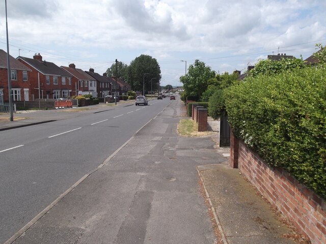
Central Park is a picturesque and expansive green space located in Lincolnshire, England. Spanning over a vast area, the park is divided into three distinct sections: Downs, Moorland, and the central area known as Central Park. Each section offers its own unique features, contributing to the park's overall diversity and appeal.
The Downs section of Central Park is characterized by its rolling hills and sprawling grasslands. It provides a serene and tranquil setting, perfect for picnics, leisurely walks, or simply taking in the enchanting views of the surrounding landscape. The area is dotted with a variety of trees and shrubs, adding to its natural beauty.
Moorland, on the other hand, is a more rugged and wild section of the park. It showcases a mix of heather, gorse, and ferns, creating a distinct moorland habitat. This particular area is ideal for nature enthusiasts and birdwatchers, as it serves as a haven for a wide range of bird species.
The central area of Central Park is the heart of the park, offering a range of recreational facilities and amenities. It features a children's play area, sports fields, and a well-maintained lake, where visitors can enjoy boating or simply relax by the water's edge. Additionally, the park is home to various events throughout the year, including concerts, festivals, and outdoor exhibitions, making it a vibrant and lively gathering place for the local community.
Overall, Central Park in Lincolnshire is a beautiful and diverse green space that caters to a wide range of interests. Whether one seeks tranquility, adventure, or community engagement, this park has something to offer everyone.
If you have any feedback on the listing, please let us know in the comments section below.
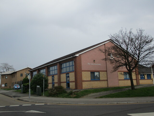
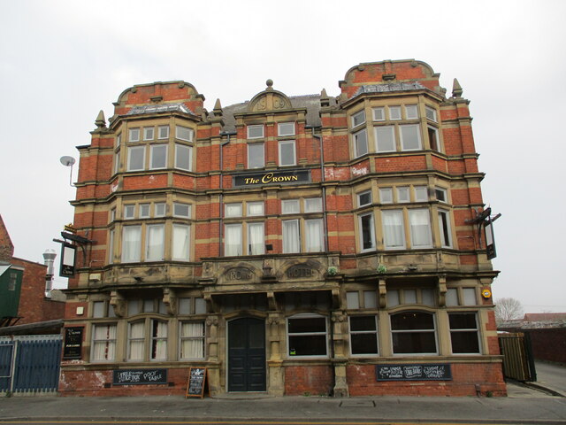
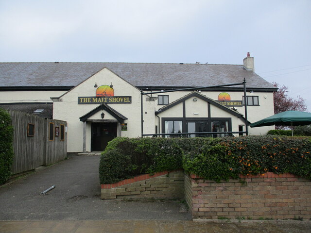
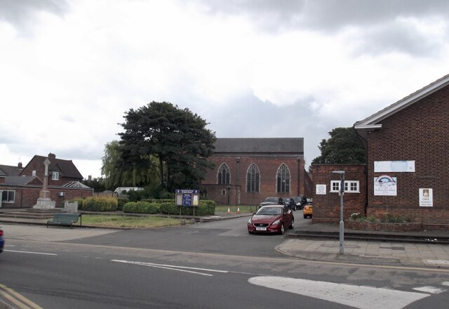
Central Park Images
Images are sourced within 2km of 53.58026/-0.65583612 or Grid Reference SE8910. Thanks to Geograph Open Source API. All images are credited.


Central Park is located at Grid Ref: SE8910 (Lat: 53.58026, Lng: -0.65583612)
Unitary Authority: North Lincolnshire
Police Authority: Humberside
What 3 Words
///note.blame.comb. Near Scunthorpe, Lincolnshire
Nearby Locations
Related Wikis
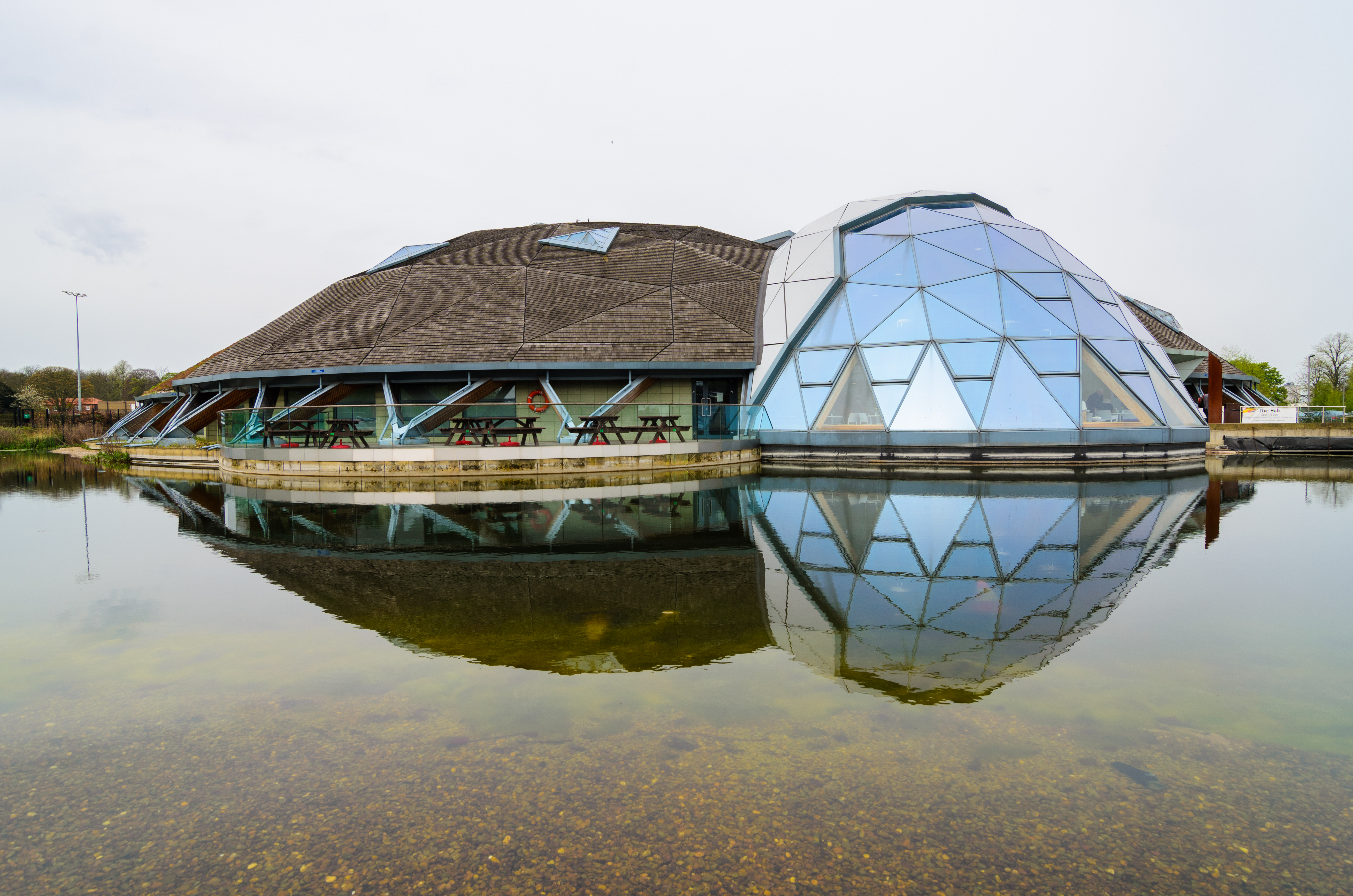
The Pods
The Pods is a leisure centre in Scunthorpe, North Lincolnshire, England. The leisure centre offers a wide range of modern facilities, including two swimming...
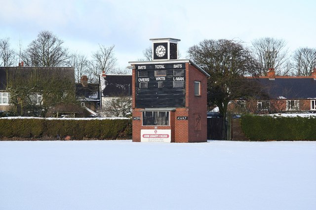
Brumby Hall Cricket Ground
Scunthorpe and Appleby Frodingham Works Cricket Club Ground is a cricket ground in Scunthorpe, Lincolnshire. The first recorded match on the ground was...

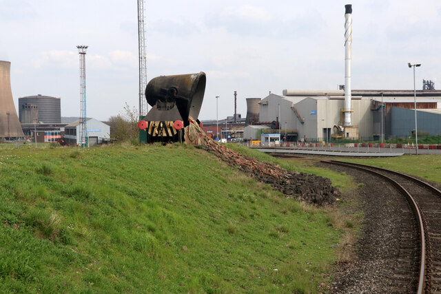
Scunthorpe
Scunthorpe () is an industrial town in the North Lincolnshire district, in the ceremonial county of Lincolnshire, England. It is Lincolnshire's third most...
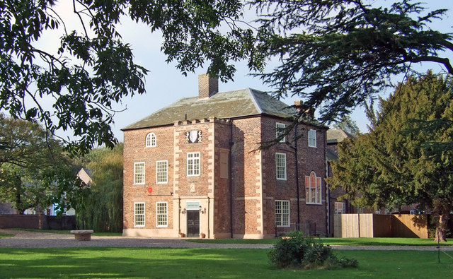
Brumby Hall
Brumby Hall is a late 17th-century residence and a Grade II* Listed building in Scunthorpe, North Lincolnshire. == History == The hall was constructed...
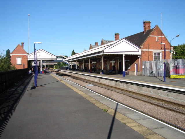
Scunthorpe railway station
Scunthorpe railway station serves the town of Scunthorpe in North Lincolnshire, England. The station is located a short walk from the town centre, on Station...

North Lindsey College
North Lindsey College is a further education college in Scunthorpe, North Lincolnshire, England, situated on the A18. == Structure == North Lindsey College...
Outwood Academy Brumby
Outwood Academy Brumby (formerly Brumby Comprehensive School and Brumby Engineering College), is a mixed secondary school with academy status, in Scunthorpe...

North Lincolnshire Museum
North Lincolnshire Museum (formerly known as Scunthorpe Museum) is a local museum in the town of Scunthorpe, North Lincolnshire, England. == Overview... ==
Related Videos

യുകെയിലെ എന്റെ ചെറിയ കൃഷിയിടം#uk#kerala #travel #trending#nature#home #summer#shorts #couple#farming
യുകെയിലെ എന്റെ ചെറിയ കൃഷിയിടം Summer vibes.

10.000 Steps A Day #shorts #steps #walking
Hey Guys So according to researchers, you are meant to do something like 10.000 steps to be fit and healthy Some days at work I ...

A Few Amazing Places We Have Visited
A small collection of clips from our previous holidays abroad Ha Long Bay Vietnam Koh Samui Thailand Cambrils Spain Tenerife ...

Nearby Amenities
Located within 500m of 53.58026,-0.65583612Have you been to Central Park?
Leave your review of Central Park below (or comments, questions and feedback).