Central Park
Downs, Moorland in Lincolnshire
England
Central Park
Central Park, Lincolnshire is a picturesque green space located in the heart of the historic market town of Lincolnshire, England. Spanning an impressive area of approximately 10 acres, the park offers a serene oasis for both locals and tourists alike. Central Park is divided into three distinct sections known as the Downs, Moorland, and Town Gardens.
The Downs area of the park boasts rolling hills and open spaces, perfect for leisurely strolls or picnics with family and friends. It features a variety of well-maintained footpaths, providing visitors with ample opportunities to explore the natural beauty of the surroundings. The Downs also includes a children's play area, offering a range of recreational activities for younger visitors.
Adjacent to the Downs is the Moorland, an area characterized by expansive meadows and flourishing wildlife. Visitors can indulge in birdwatching or simply enjoy the tranquil atmosphere while taking in the breathtaking views. The Moorland is also home to a well-equipped sports field, catering to various outdoor activities such as football and cricket.
Lastly, the Town Gardens section of Central Park showcases beautifully landscaped gardens, adorned with vibrant flowers and ornamental shrubs. It provides a peaceful setting for relaxation and contemplation, featuring benches and pathways that wind through the meticulously maintained floral displays.
Central Park, Lincolnshire is a cherished community space that offers a wide range of recreational opportunities for all ages. Its idyllic setting, combined with its well-preserved natural beauty, makes it a popular destination for residents and visitors seeking respite from the bustling town center.
If you have any feedback on the listing, please let us know in the comments section below.
Central Park Images
Images are sourced within 2km of 53.579777/-0.66494445 or Grid Reference SE8810. Thanks to Geograph Open Source API. All images are credited.


Central Park is located at Grid Ref: SE8810 (Lat: 53.579777, Lng: -0.66494445)
Unitary Authority: North Lincolnshire
Police Authority: Humberside
What 3 Words
///light.serves.herds. Near Scunthorpe, Lincolnshire
Nearby Locations
Related Wikis

North Lindsey College
North Lindsey College is a further education college in Scunthorpe, North Lincolnshire, England, situated on the A18. == Structure == North Lindsey College...

Central Park, Scunthorpe
Central Park is the premier urban park in Scunthorpe, Lincolnshire, England. == History == The park was opened as part of the Festival of Britain to celebrate...
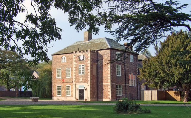
Brumby Hall
Brumby Hall is a late 17th-century residence and a Grade II* Listed building in Scunthorpe, North Lincolnshire. == History == The hall was constructed...
Brumby Hall Cricket Ground
Scunthorpe and Appleby Frodingham Works Cricket Club Ground is a cricket ground in Scunthorpe, Lincolnshire. The first recorded match on the ground was...
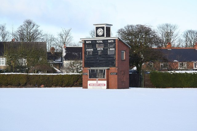
John Leggott College
John Leggott College is a sixth form college on West Common Lane, in Old Brumby, Scunthorpe, North Lincolnshire, England. == History == === Technical... ===
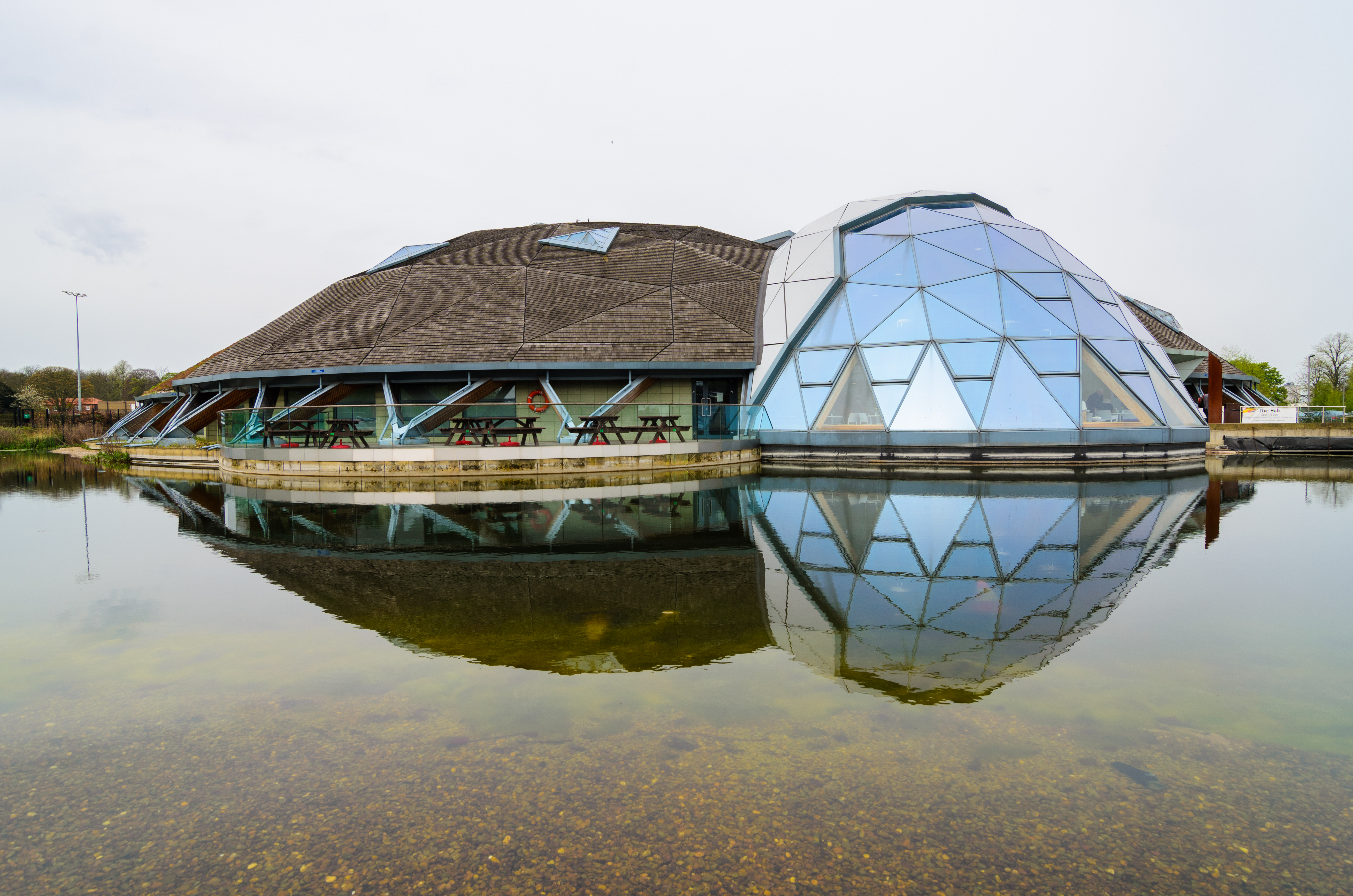
The Pods
The Pods is a leisure centre in Scunthorpe, North Lincolnshire, England. The leisure centre offers a wide range of modern facilities, including two swimming...

Scunthorpe General Hospital
Scunthorpe General Hospital is the main hospital for North Lincolnshire. It is situated on Church Lane in the west of Scunthorpe, off Kingsway (the A18...
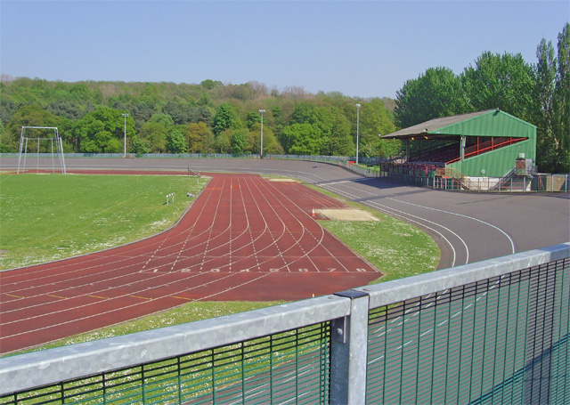
Quibell Park Stadium
Quibell Park Stadium is a multi-purpose stadium in Scunthorpe, North Lincolnshire, owned by North Lincolnshire Council, primarily used for athletics, cycling...
Nearby Amenities
Located within 500m of 53.579777,-0.66494445Have you been to Central Park?
Leave your review of Central Park below (or comments, questions and feedback).