Hankley Common

Downs, Moorland in Surrey Waverley

England

Hankley Common

Road junction near Thursley, Surrey A junction of minor roads in woodland in Surrey, near the village of Thursley.
Road junction near Thursley, Surrey Credit: Malc McDonald

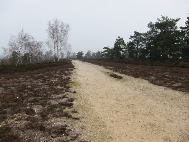
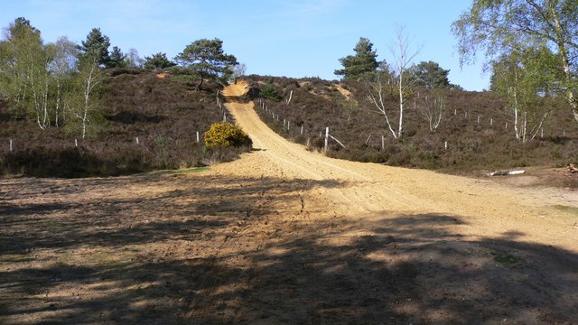
Hankley Common, located in Surrey, England, is a vast expanse of open land characterized by its downs and moorland. Covering an area of approximately 1,400 acres, it is an important conservation site and is owned and managed by the Ministry of Defence. It is situated within the Surrey Hills Area of Outstanding Natural Beauty.

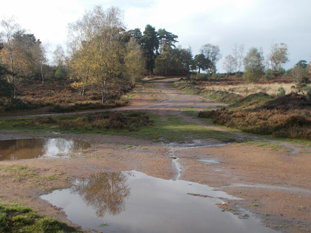
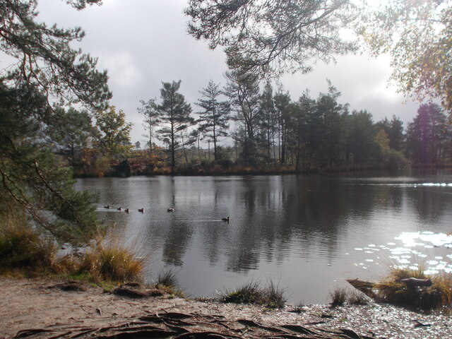
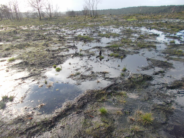
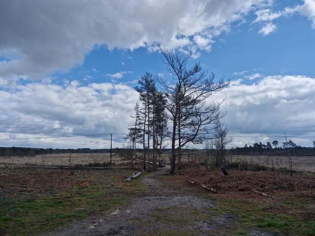
The common is renowned for its stunning natural beauty and attracts nature enthusiasts, hikers, and birdwatchers alike. The undulating landscape is dominated by heathland, with areas of grassland and scattered woodland. This diverse habitat supports a wide range of flora and fauna, including rare plants like the marsh gentian and birds such as the Dartford warbler and nightjar.

Hankley Common is also home to several Bronze Age burial mounds, known as barrows, which provide evidence of the area's ancient history. These archaeological features add to the cultural significance of the common, attracting archaeologists and history enthusiasts.

The common is intersected by a network of footpaths and bridleways, allowing visitors to explore its natural wonders. It is a popular destination for outdoor activities such as walking, horse riding, and orienteering. Additionally, the common is used by the military for training purposes, adding to its unique character.

Hankley Common offers a peaceful and tranquil environment, providing a sanctuary for wildlife and a place of relaxation for visitors. Its diverse landscapes, rich history, and accessibility make it a cherished natural asset for both local residents and visitors from afar.

If you have any feedback on the listing, please let us know in the comments section below.

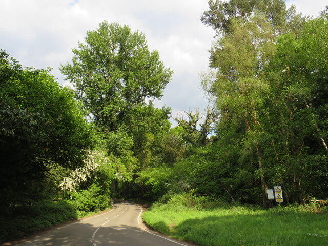
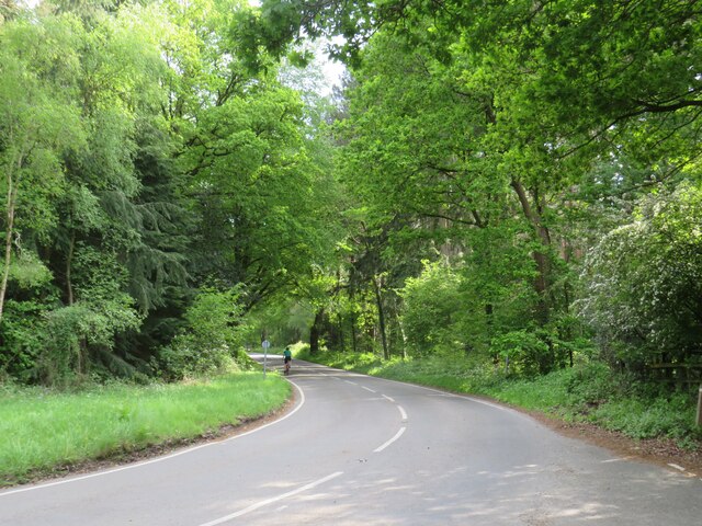
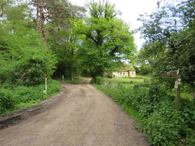
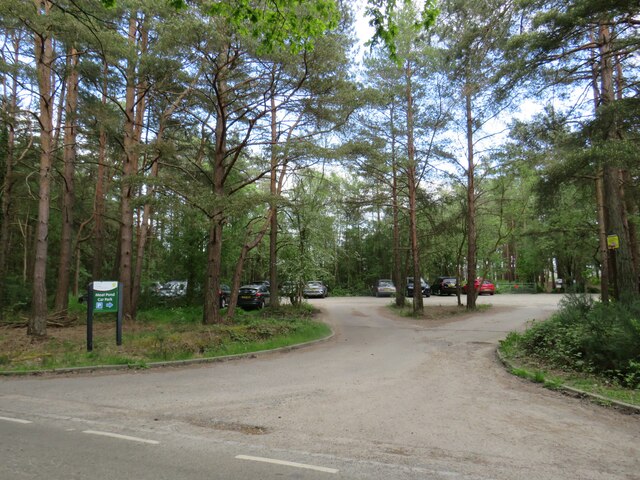
Hankley Common Images

Images are sourced within 2km of 51.166281/-0.74006962 or Grid Reference SU8841. Thanks to Geograph Open Source API. All images are credited.

Road junction near Thursley, Surrey A junction of minor roads in woodland in Surrey, near the village of Thursley.
Road junction near Thursley, Surrey
A junction of minor roads in woodland in Surrey, near the village of Thursley.
Dyehouse Road, near Thursley, Surrey Dyehouse Road is a minor road through woodland in Surrey.  Warning signs indicate that long vehicles are at risk of grounding, due to an uneven road surface.  Another sign prohibits military vehicles from using this road, a clue that military activity takes place in this area.
Dyehouse Road, near Thursley, Surrey
Dyehouse Road is a minor road through woodland in Surrey. Warning signs indicate that long vehicles are at risk of grounding, due to an uneven road surface. Another sign prohibits military vehicles from using this road, a clue that military activity takes place in this area.
Track into woodland near Thursley, Surrey A track into woodland in Surrey, close to the village of Thursley.
Track into woodland near Thursley, Surrey
A track into woodland in Surrey, close to the village of Thursley.
Thursley Road near Thursley, Surrey A double bend on Thursley Road, passing through woodland in Surrey.
Thursley Road near Thursley, Surrey
A double bend on Thursley Road, passing through woodland in Surrey.
Thursley Road near Thursley, Surrey Thursley Road is a minor road passing through woodland in Surrey.
Thursley Road near Thursley, Surrey
Thursley Road is a minor road passing through woodland in Surrey.
Driveway and public bridleway near Thursley, Surrey A driveway leading to a cottage in Surrey woodland.  The driveway is a public right of way as a bridleway, indicated by the wooden signpost.
Driveway and public bridleway near Thursley, Surrey
A driveway leading to a cottage in Surrey woodland. The driveway is a public right of way as a bridleway, indicated by the wooden signpost.
Moat Pond Car Park near Elstead, Surrey A public car park in woodland near the village of Elstead in Surrey.
Moat Pond Car Park near Elstead, Surrey
A public car park in woodland near the village of Elstead in Surrey.
Yagden Hill on Hankley Common Plenty of pools of water around indicating recent rainfall.
Yagden Hill on Hankley Common
Plenty of pools of water around indicating recent rainfall.
Moat Pond, Thursley Common
Desolate landscape with Kettlebury Hill in the background
Navigating northwards up the Bashir (8) Path east of Moat Pond
Navigating northwards up the Bashir (8)
Path east of Moat Pond
Hankley Common Looking down to Hankley Common Golf Course.
Hankley Common
Looking down to Hankley Common Golf Course.
Track up Yagden Hill Heavily eroded by water flowing down the hill.
Track up Yagden Hill
Heavily eroded by water flowing down the hill.
Track on Hankley Common
Eroded track on Hankley Common Steep, well used and unconsolidated loose soil.
Eroded track on Hankley Common
Steep, well used and unconsolidated loose soil.
Sandy Lane, Rushmoor Residential development on the right (mostly post-1960), woodland on the left (mostly conifers).
Sandy Lane, Rushmoor
Residential development on the right (mostly post-1960), woodland on the left (mostly conifers).
Woodland track leading south from Sandy Lane, Rushmoor
Sandy Lane, Rushmoor: southern end Looking north-west from near the southern end of Sandy Lane, just off the Hindhead-Tilford road.  There is 20th-century residential development on both sides, so that the character of the area is somewhat suburban.

A couple of hundred yards ahead, Sandy Lane dog-legs to the left, in a more westerly direction.
Sandy Lane, Rushmoor: southern end
Looking north-west from near the southern end of Sandy Lane, just off the Hindhead-Tilford road. There is 20th-century residential development on both sides, so that the character of the area is somewhat suburban. A couple of hundred yards ahead, Sandy Lane dog-legs to the left, in a more westerly direction.
Show me another place!

Hankley Common is located at Grid Ref: SU8841 (Lat: 51.166281, Lng: -0.74006962)

Administrative County: Surrey

District: Waverley

Police Authority: Surrey

What 3 Words

///paddock.slips.losing. Near Elstead, Surrey

Nearby Locations

Hankley Common

Related Wikis

Hankley Common

Hankley Common is a 560-hectare (1,400-acre) nature reserve and filming location in the south-west of Elstead in Surrey. It is owned by the Ministry of...

Rushmoor, Surrey

Rushmoor is a village in the civil parish of Frensham, in the Waverley district, in the county of Surrey, England. In 2019 it had an estimated population...

Thursley, Hankley and Frensham Commons

Thursley, Hankley and Frensham Commons is a 1,878.5-hectare (4,642-acre) biological Site of Special Scientific Interest west of Godalming in Surrey. Thursley...
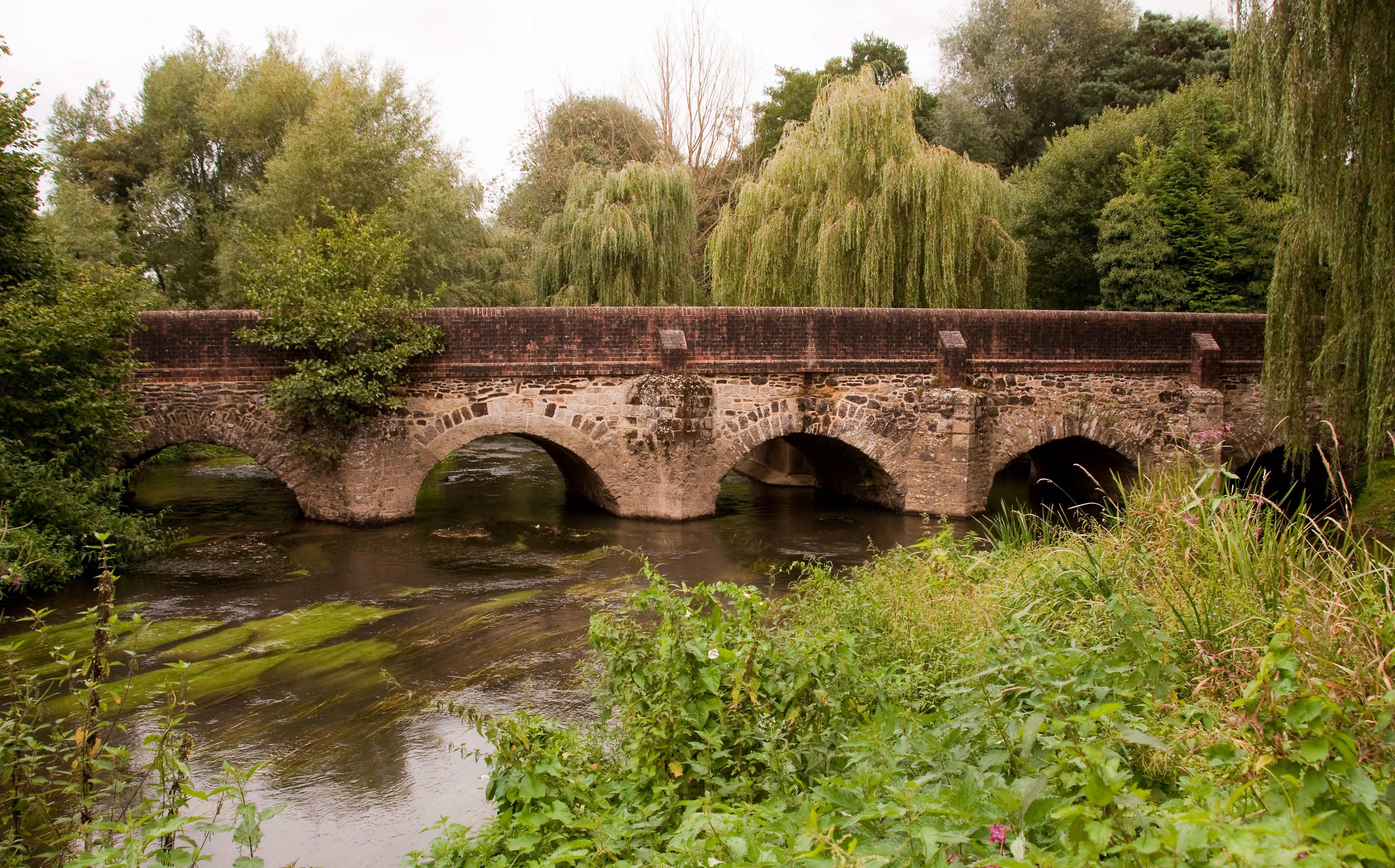
River Wey

The River Wey is a main tributary of the River Thames in south east England. Its two branches, one of which rises near Alton in Hampshire and the other...

Nearby Amenities

Located within 500m of 51.166281,-0.74006962
Lion's Mouth
Place: locality
Lat/Long: 51.1650885/-0.7339266
Crossing
Lat/Long: 51.1659098/-0.7369167
Crossing
Lat/Long: 51.1687246/-0.7352063
Crossing
Lat/Long: 51.1674691/-0.7356614
Crossing
Lat/Long: 51.1679439/-0.7354855
Crossing
Lat/Long: 51.1680819/-0.7354296
The data included in this document is from www.openstreetmap.org. The data is made available under ODbL.

Have you been to Hankley Common?

Leave your review of Hankley Common below (or comments, questions and feedback).