Ranges
Downs, Moorland in Lincolnshire North Kesteven
England
Ranges

Ranges, Lincolnshire, located in the eastern part of England, is a picturesque area known for its diverse and captivating landscapes. The region is characterized by a combination of downs and moorland, offering visitors a unique and varied experience.
The downs in Ranges, Lincolnshire, are characterized by rolling hills covered in lush grasslands. These expansive areas provide stunning panoramic views and are often used for recreational activities such as walking, hiking, and picnicking. The downs are home to a variety of wildlife, including rabbits, hares, and various bird species, making it a popular spot for nature enthusiasts and birdwatchers.
In contrast, the moorland in Ranges, Lincolnshire, offers a different kind of natural beauty. It is characterized by vast expanses of open land covered in heather and gorse, creating a vibrant and colorful landscape. The moorland is also home to a variety of plant and animal species, including grazing livestock such as sheep and cattle.
Visitors to Ranges, Lincolnshire, can enjoy exploring the diverse terrain through a network of well-maintained footpaths and trails. These paths provide opportunities for leisurely walks or more challenging hikes, allowing visitors to immerse themselves in the natural beauty of the area.
Overall, Ranges, Lincolnshire, with its combination of downs and moorland, offers a captivating and diverse landscape that appeals to nature lovers and outdoor enthusiasts alike. Whether exploring the rolling hills of the downs or the vibrant moorland, visitors are sure to be captivated by the natural beauty and tranquility of this stunning region.
If you have any feedback on the listing, please let us know in the comments section below.
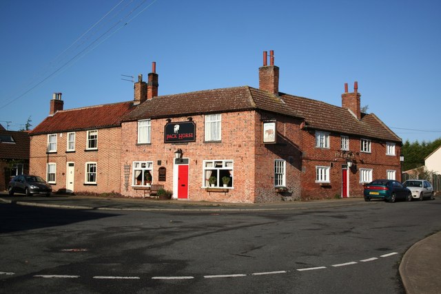
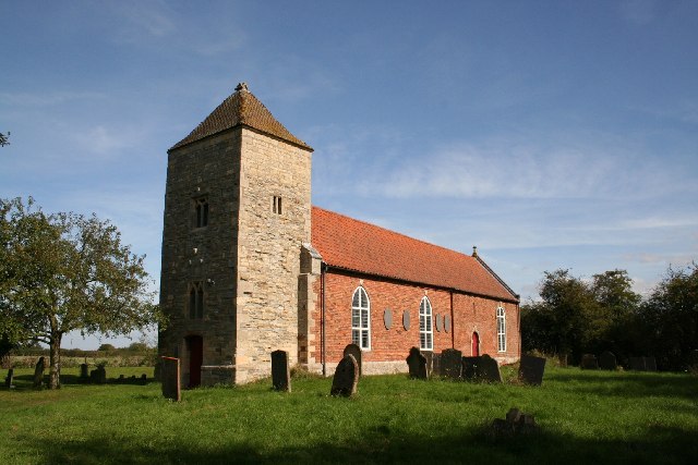
Ranges Images
Images are sourced within 2km of 53.080556/-0.68541096 or Grid Reference SK8854. Thanks to Geograph Open Source API. All images are credited.


Ranges is located at Grid Ref: SK8854 (Lat: 53.080556, Lng: -0.68541096)
Administrative County: Lincolnshire
District: North Kesteven
Police Authority: Lincolnshire
What 3 Words
///credited.iteration.coverings. Near Bassingham, Lincolnshire
Nearby Locations
Related Wikis

Beckingham, Lincolnshire
Beckingham is a village and civil parish in the North Kesteven district of Lincolnshire, England. The population of the civil parish (including Stapleford...

Stapleford Woods
Stapleford Woods form an area of ancient woodland and forest in Stapleford, Lincolnshire, England. The boundary of the ancient woods follows the county...
Stapleford, Lincolnshire
Stapleford is a village and civil parish in North Kesteven district of Lincolnshire, England, and about 6 miles (10 km) north-east from the town of Newark...

All Saints' Church, Barnby in the Willows
All Saints' Church, Barnby in the Willows, is a Grade I listed parish church in the Church of England in Barnby in the Willows. == History == The church...

Barnby in the Willows
Barnby in the Willows is a village and civil parish in the Newark and Sherwood district of Nottinghamshire, England, just east of Newark-on-Trent. According...

St Helen's Church, Brant Broughton
St Helen's Church is an Anglican church in Brant Broughton, Lincolnshire, England. It is a Grade I listed building. == History == St Helen's Church a medieval...
Brant Broughton
Brant Broughton (pronounced Brew-ton) is a small village in the civil parish of Brant Broughton and Stragglethorpe, in the North Kesteven district of Lincolnshire...

Fenton, South Kesteven
Fenton is a village in the South Kesteven district of Lincolnshire, England. It is situated 14 miles (23 km) south-west from the city and county town of...
Nearby Amenities
Located within 500m of 53.080556,-0.68541096Have you been to Ranges?
Leave your review of Ranges below (or comments, questions and feedback).