South Cliffe Common
Downs, Moorland in Yorkshire
England
South Cliffe Common
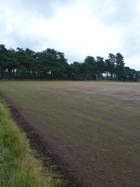
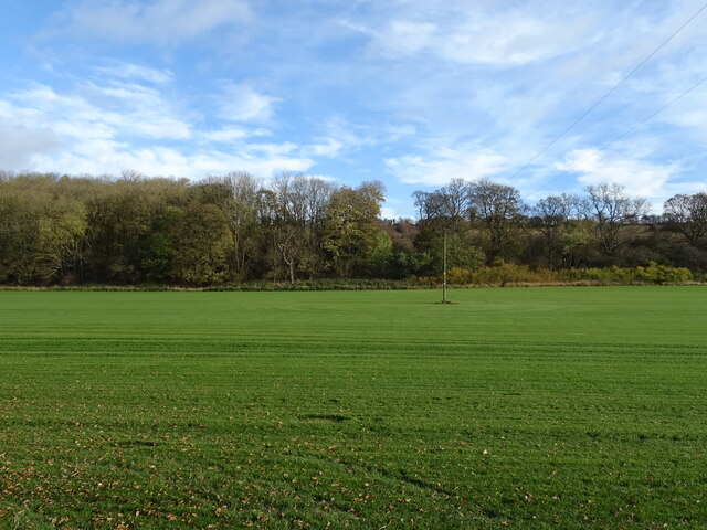
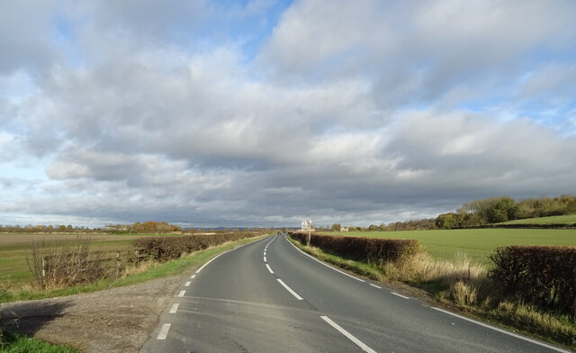
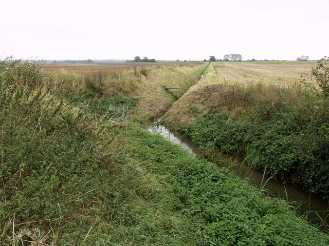
South Cliffe Common is a stunning natural expanse located in the county of Yorkshire, England. Spread across the Yorkshire Downs and Moorland, this common is a haven for nature enthusiasts and offers breathtaking views of the surrounding landscape. Covering an area of approximately 200 acres, South Cliffe Common is a diverse ecosystem with a rich variety of flora and fauna.
The common is characterized by its rolling hills, open grasslands, and scattered patches of heather moorland. The undulating terrain provides visitors with mesmerizing vistas of the Yorkshire countryside, making it a popular spot for hikers and walkers seeking tranquility and scenic beauty. The area is home to a range of wildlife, including rabbits, hares, and various bird species such as skylarks and kestrels.
Throughout the year, the common showcases an array of vibrant colors. In spring, the meadows come alive with a carpet of wildflowers, creating a picturesque scene. Summer brings lush greenery, while autumn transforms the landscape into a tapestry of warm hues as the leaves change color. Even in winter, the common retains its allure, with frost-covered grass and a peaceful atmosphere.
To ensure the preservation of this natural treasure, South Cliffe Common is managed by a local conservation organization. Visitors are encouraged to adhere to the designated paths and respect the delicate balance of the ecosystem. There are also informational signs and guided walks available to educate visitors about the common's biodiversity and the importance of conservation efforts.
In conclusion, South Cliffe Common offers an idyllic escape into the beauty of Yorkshire's Downs and Moorland. With its diverse landscapes and abundant wildlife, it is a must-visit destination for those seeking to immerse themselves in nature's wonders.
If you have any feedback on the listing, please let us know in the comments section below.
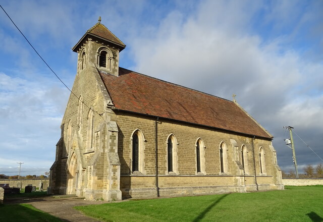
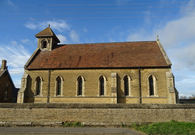
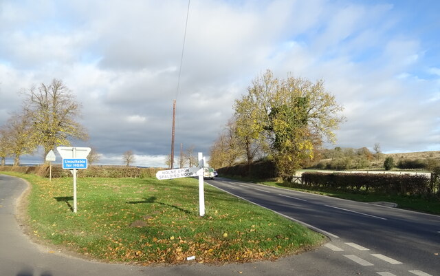
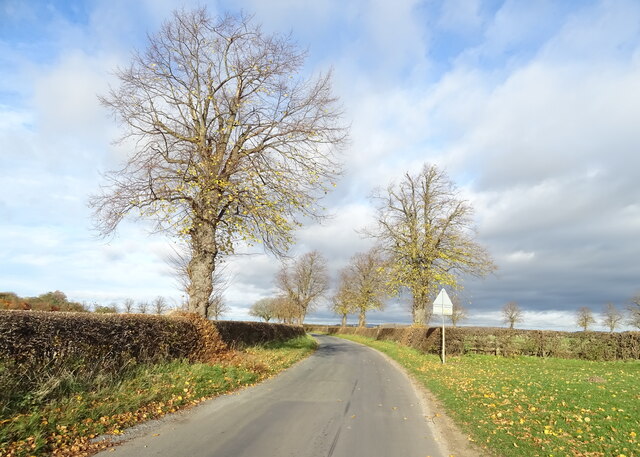
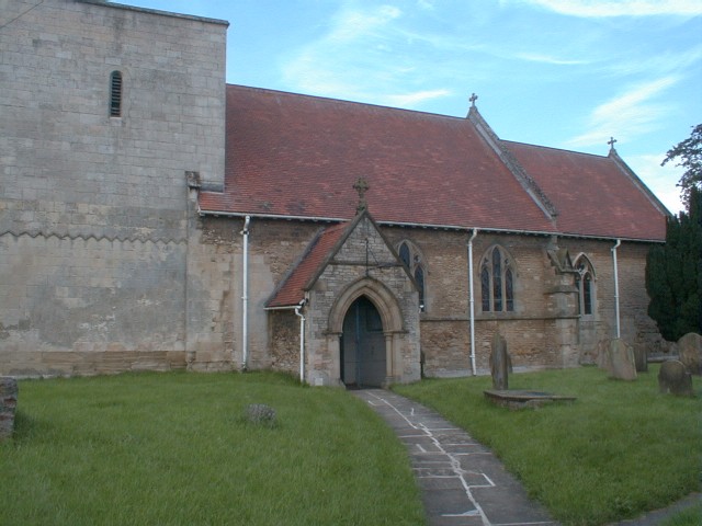
South Cliffe Common Images
Images are sourced within 2km of 53.808802/-0.6900268 or Grid Reference SE8635. Thanks to Geograph Open Source API. All images are credited.


South Cliffe Common is located at Grid Ref: SE8635 (Lat: 53.808802, Lng: -0.6900268)
Division: East Riding
Unitary Authority: East Riding of Yorkshire
Police Authority: Humberside
What 3 Words
///pulled.amends.envoy. Near Hotham, East Yorkshire
Nearby Locations
Related Wikis

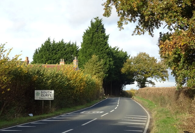
South Cliffe
South Cliffe is a village and civil parish in the East Riding of Yorkshire, England. It is situated about 2.5 miles (4 km) north of North Cave, 2 miles...

Haltemprice and Howden (UK Parliament constituency)
Haltemprice and Howden is a constituency in the East Riding of Yorkshire represented in the House of Commons of the UK Parliament since 1997 by David Davis...

North Cliffe
North Cliffe is a hamlet and former civil parish, now in the parish of South Cliffe, in the East Riding of Yorkshire, England. It is situated about 3 miles...

Tollingham
Tollingham is a hamlet in the East Riding of Yorkshire, England. It is situated approximately 2 miles (3.2 km) south-east of the village of Holme-on-Spalding...

North Cave Wetlands
North Cave Wetlands is a nature reserve at North Cave, East Riding of Yorkshire, England, managed by the Yorkshire Wildlife Trust.The reserve based at...

Harthill Wapentake
Harthill was a wapentake of the historic East Riding of Yorkshire, England consisting of the central part of the county. Established in medieval times...
Hotham, East Riding of Yorkshire
Hotham is a small village and civil parish in the East Riding of Yorkshire, England. It is situated approximately 16 miles (26 km) west of Hull, 21 miles...
River Foulness
The River Foulness is a river in the East Riding of Yorkshire, England. Its name is derived from Old English fūle[n] ēa, meaning “dirty water”. Maintenance...
Have you been to South Cliffe Common?
Leave your review of South Cliffe Common below (or comments, questions and feedback).