West Field

Downs, Moorland in Yorkshire

England

West Field

Stocks Hill Looking along a path at the south end of Huggate.
Stocks Hill Credit: DS Pugh

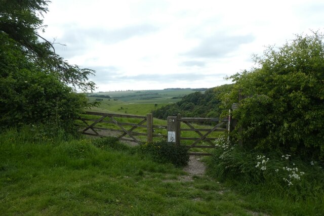
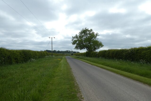
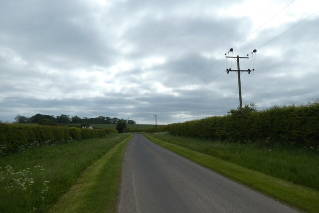
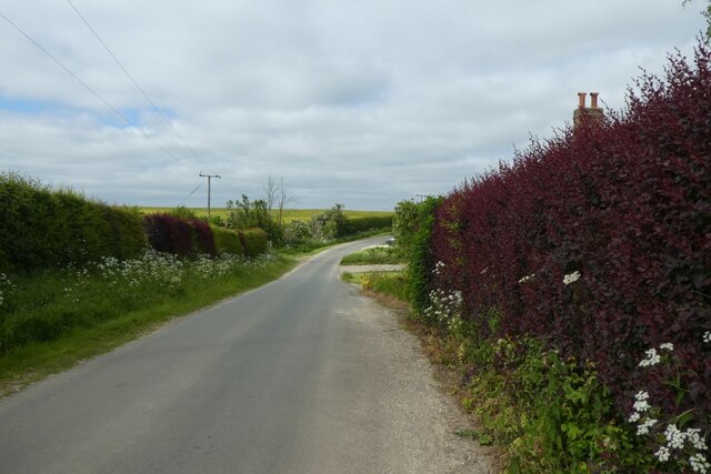
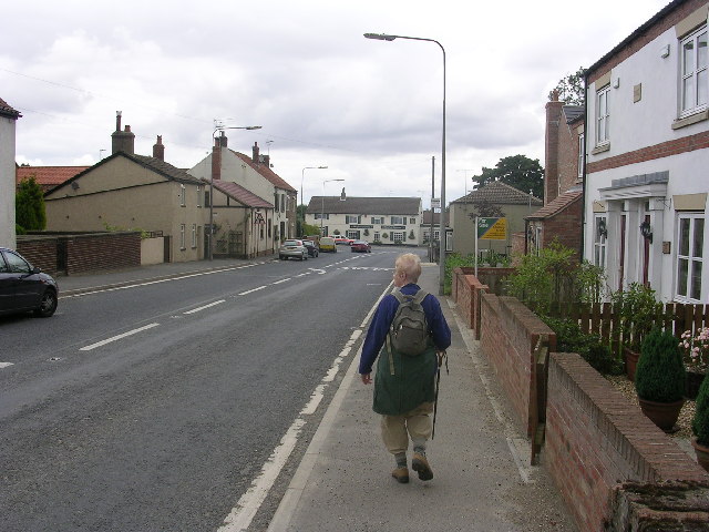
West Field in Yorkshire is a picturesque area known for its stunning landscape of downs and moorland. Located in the northern part of England, this region is characterized by rolling hills and vast open spaces, making it a popular destination for outdoor enthusiasts and nature lovers.

The downs in West Field are gently sloping grasslands that provide breathtaking views of the surrounding countryside. These areas are often used for grazing livestock and are dotted with quaint villages and farms. The moorland, on the other hand, is a rugged and wild terrain covered in heather and bracken. This unique landscape is home to a variety of wildlife, including birds of prey, sheep, and grouse.

Visitors to West Field can enjoy a range of outdoor activities such as hiking, birdwatching, and photography. The area is also popular for its scenic drives and picnicking spots. In addition, there are several historic sites and attractions in the region, including ancient burial mounds and stone circles.

Overall, West Field in Yorkshire offers a peaceful and idyllic setting for those looking to escape the hustle and bustle of city life and immerse themselves in the natural beauty of the English countryside.

If you have any feedback on the listing, please let us know in the comments section below.
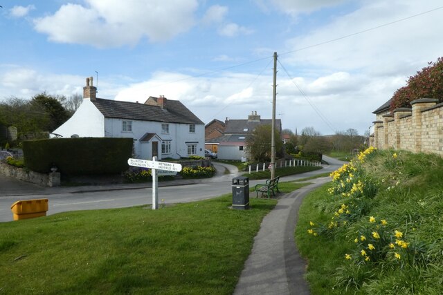
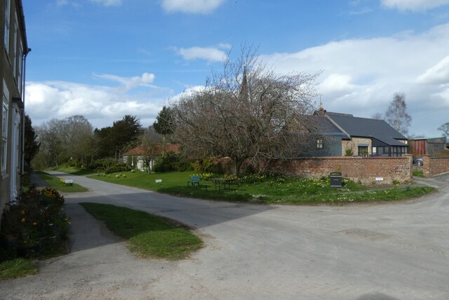
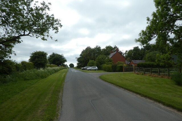
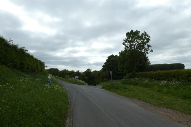
West Field Images

Images are sourced within 2km of 53.986/-0.6857388 or Grid Reference SE8655. Thanks to Geograph Open Source API. All images are credited.

Stocks Hill Looking along a path at the south end of Huggate.
Stocks Hill
Looking along a path at the south end of Huggate.
Church Street Looking along Church Street in Huggate on a spring afternoon.
Church Street
Looking along Church Street in Huggate on a spring afternoon.
Church Street Looking along Church Street in the village of Huggate at the top of the Wolds.
Church Street
Looking along Church Street in the village of Huggate at the top of the Wolds.
Sunset near the Wold Inn Looking along Driffield Road in Huggate as the sun sets.
Sunset near the Wold Inn
Looking along Driffield Road in Huggate as the sun sets.
Sunset over Driffield Road Looking towards the setting sun in Huggate.
Sunset over Driffield Road
Looking towards the setting sun in Huggate.
Cottages in Huggate Flying bunting for the Queen's Platinum Jubilee.
Cottages in Huggate
Flying bunting for the Queen's Platinum Jubilee.
Western edge of Huggate Looking along Pocklington Lane.
Western edge of Huggate
Looking along Pocklington Lane.
Passing Mill Farm Looking along Pocklington Lane to the west of Huggate.
Passing Mill Farm
Looking along Pocklington Lane to the west of Huggate.
Pocklington Lane Looking towards the junction for the road via Millington to the right and the road via Cobdale to the left.
Pocklington Lane
Looking towards the junction for the road via Millington to the right and the road via Cobdale to the left.
Bridleway above Pasture Dale Looking towards a gate to access the bridleway above Pasture Dale heading towards Millington.
Bridleway above Pasture Dale
Looking towards a gate to access the bridleway above Pasture Dale heading towards Millington.
Road south of High Barn Farm Looking along the road towards Cobdale.
Road south of High Barn Farm
Looking along the road towards Cobdale.
Road towards Cobdale Cottage Looking along the road from Huggate.
Road towards Cobdale Cottage
Looking along the road from Huggate.
Road beside Cobdale Cottage Looking along the road which leads to Huggate.
Road beside Cobdale Cottage
Looking along the road which leads to Huggate.
Silver Street Looking along Silver Street in Huggate from Stocks Hill.
Silver Street
Looking along Silver Street in Huggate from Stocks Hill.
Church Street Looking along Church Street in Huggate.
Church Street
Looking along Church Street in Huggate.
Field entrance off Church Street A footpath heads to Glebe Farm.
Field entrance off Church Street
A footpath heads to Glebe Farm.
Footpath towards Glebe Farm Looking along the path as it descends from Church Street.
Footpath towards Glebe Farm
Looking along the path as it descends from Church Street.
Path descending from Huggate Looking along the path leading towards Glebe Farm.
Path descending from Huggate
Looking along the path leading towards Glebe Farm.
Show me another place!

West Field is located at Grid Ref: SE8655 (Lat: 53.986, Lng: -0.6857388)

Division: East Riding

Unitary Authority: East Riding of Yorkshire

Police Authority: Humberside

What 3 Words

///myself.bricks.sues. Near Millington, East Yorkshire

Nearby Locations

West Field

Related Wikis

Huggate

Huggate is a village and civil parish in the East Riding of Yorkshire, England. It is situated approximately 13 miles (21 km) north-west of Beverley town...

Fridaythorpe

Fridaythorpe is a village and civil parish in the East Riding of Yorkshire, England. It is situated approximately 8 miles (13 km) north-east of Pocklington...

Bishop Wilton Wold

Bishop Wilton Wold is the highest point of the Yorkshire Wolds in the East Riding of Yorkshire, England. The summit, known as Garrowby Hill, lies about...

Millington, East Riding of Yorkshire

Millington is a small village and civil parish in the East Riding of Yorkshire, England. It is situated approximately 2 miles (3.2 km) north-east of Pocklington...

Nearby Amenities

Located within 500m of 53.986,-0.6857388
Huggate Pasture
Place: locality
Lat/Long: 53.986825/-0.6929354
The data included in this document is from www.openstreetmap.org. The data is made available under ODbL.

Have you been to West Field?

Leave your review of West Field below (or comments, questions and feedback).