Frensham Common

Downs, Moorland in Surrey Waverley

England

Frensham Common

Bacon Lane, near Farnham Bacon Lane is a minor lane through countryside on the borers of Hampshire and Surrey.  At this point it is in Hampshire, but will cross the county boundary into Surrey less than a kilometre away.
Bacon Lane, near Farnham Credit: Malc McDonald

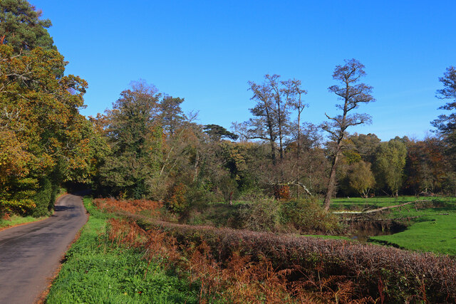
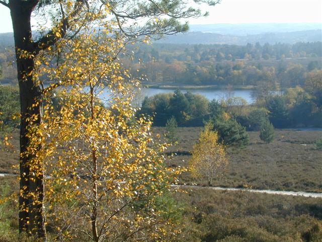
Frensham Common, located in Surrey, England, is a captivating area of natural beauty known for its diverse landscapes, including downs and moorland. Spanning approximately 1,000 acres, this common is a designated Site of Special Scientific Interest (SSSI) and is managed by the National Trust.

The common is characterized by its undulating hills covered in heather, gorse, and bracken, creating a picturesque and wild atmosphere. The area is also home to several ponds, the most famous being Frensham Great Pond, which was created in the 13th century to supply fish to local monasteries. The pond is now a popular spot for various water activities, including sailing, canoeing, and swimming.

Frensham Common is a haven for wildlife, attracting a wide range of bird species, such as Dartford warblers, stonechats, and woodlarks. The diverse habitats also support a rich variety of insects, reptiles, and small mammals, including adders, grass snakes, and rabbits.

Visitors to Frensham Common can enjoy several well-maintained walking trails that meander through the heathland, offering stunning panoramic views of the surrounding countryside. The common is also a favorite spot for horse riders and cyclists, with designated paths catering to these activities.

To preserve the natural beauty and biodiversity of Frensham Common, certain areas are managed through controlled burning and grazing by livestock, ensuring the continued health of the heathland ecosystem.

Overall, Frensham Common is a cherished natural gem, offering visitors an opportunity to escape the hustle and bustle of everyday life and immerse themselves in the serene and captivating beauty of the Surrey countryside.

If you have any feedback on the listing, please let us know in the comments section below.

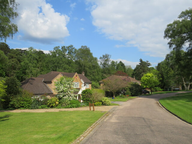
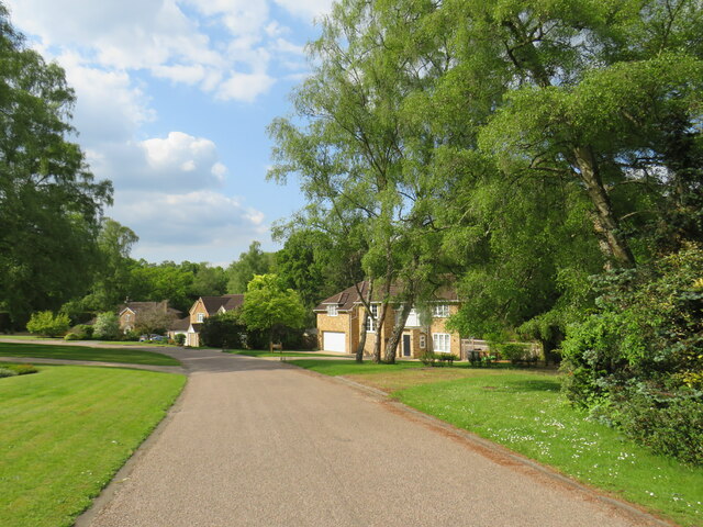
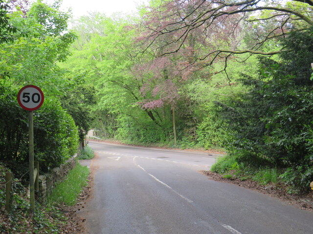
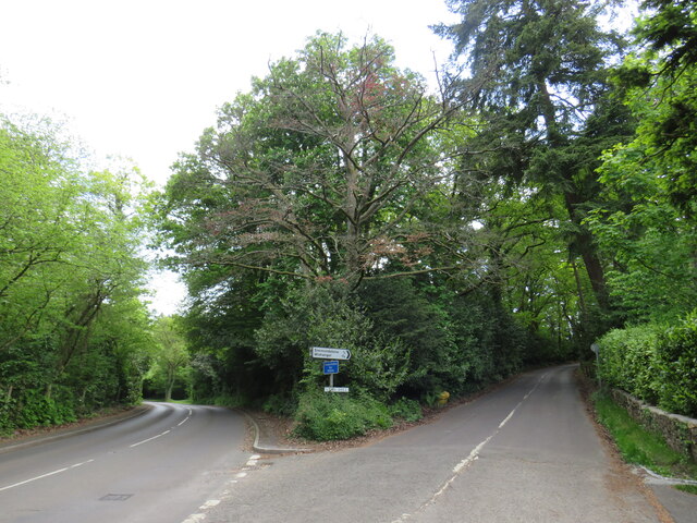
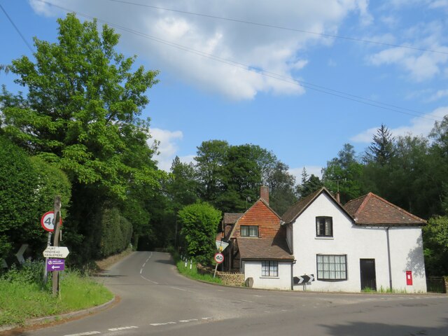
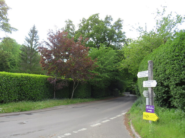
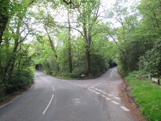
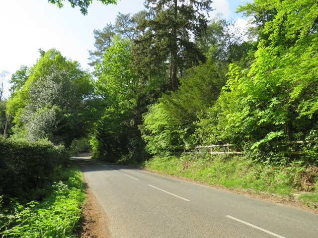
Frensham Common Images

Images are sourced within 2km of 51.160474/-0.77843971 or Grid Reference SU8540. Thanks to Geograph Open Source API. All images are credited.

Bacon Lane, near Farnham Bacon Lane is a minor lane through countryside on the borers of Hampshire and Surrey.  At this point it is in Hampshire, but will cross the county boundary into Surrey less than a kilometre away.
Bacon Lane, near Farnham
Bacon Lane is a minor lane through countryside on the borers of Hampshire and Surrey. At this point it is in Hampshire, but will cross the county boundary into Surrey less than a kilometre away.
Star Hill Drive, Churt, near Farnham Star Hill Drive is a residential cul-de-sac on the edge of the village of Churt in Surrey.
Star Hill Drive, Churt, near Farnham
Star Hill Drive is a residential cul-de-sac on the edge of the village of Churt in Surrey.
Star Hill Drive, Churt, near Farnham Star Hill Drive is a residential cul-de-sac on the edge of the village of Churt in Surrey.
Star Hill Drive, Churt, near Farnham
Star Hill Drive is a residential cul-de-sac on the edge of the village of Churt in Surrey.
Star Hill, Churt, near Farnham Star Hill is a minor road on the edge of the village of Churt, in Surrey.  Here, the road approaches a junction with the A287.  The sign to the left of the image is a "repeater" sign reminding motorists that a speed limit of 50 miles per hour applies here.
Star Hill, Churt, near Farnham
Star Hill is a minor road on the edge of the village of Churt, in Surrey. Here, the road approaches a junction with the A287. The sign to the left of the image is a "repeater" sign reminding motorists that a speed limit of 50 miles per hour applies here.
Road junction in Churt, near Farnham A road junction on the edge of the village of Churt in Surrey.  The road to the left is the A287.
Road junction in Churt, near Farnham
A road junction on the edge of the village of Churt in Surrey. The road to the left is the A287.
The Old Post Office, Churt, near Farnham The Old Post Office stands at the corner of Jumps Road in the Surrey village of Churt.  As its name suggests, this building was once a post office.  It stall has a post box in the wall, to the right of the image.

The road passing in the foreground is the A287.
The Old Post Office, Churt, near Farnham
The Old Post Office stands at the corner of Jumps Road in the Surrey village of Churt. As its name suggests, this building was once a post office. It stall has a post box in the wall, to the right of the image. The road passing in the foreground is the A287.
A287 at Churt, near Farnham The A287 road at Churt in Surrey.
A287 at Churt, near Farnham
The A287 road at Churt in Surrey.
Road junction near Farnham A junction of minor roads in woodland, near the Surrey village of Churt.
Road junction near Farnham
A junction of minor roads in woodland, near the Surrey village of Churt.
Jumps Road, Churt, near Farnham Jumps Road is a minor road through woodland on the edge of the village of Churt, in Surrey.
Jumps Road, Churt, near Farnham
Jumps Road is a minor road through woodland on the edge of the village of Churt, in Surrey.
Churt Common in sunshine Passing the Devil's Jumps en route to Frensham Great Pond.  Sunshine following a rain shower a little earlier.
Churt Common in sunshine
Passing the Devil's Jumps en route to Frensham Great Pond. Sunshine following a rain shower a little earlier.
A287 Frensham Main road through Frensham.
A287 Frensham
Main road through Frensham.
Shortfield Common Road River running alongside the road.
Shortfield Common Road
River running alongside the road.
Frensham Great Pond - looking north east
Frensham Great Pond from the west
Sailing boats on Frensham Great Pond
Frensham Common in sunshine
Pools of water on Frensham Common
Path down to Frensham Little Pond
Show me another place!

Frensham Common is located at Grid Ref: SU8540 (Lat: 51.160474, Lng: -0.77843971)

Administrative County: Surrey

District: Waverley

Police Authority: Surrey

What 3 Words

///measuring.students.jousting. Near Churt, Surrey

Nearby Locations

Frensham Common

Related Wikis

Frensham Common

Frensham Common is a large Site of Special Scientific Interest (SSSI) heathland of 373 hectares (922 acres) which includes two lakes; it is owned and...

Frensham

Frensham is a village in Surrey, England, next to the A287 road, 13 miles (20.9 km) WSW of Guildford, the county town. Frensham lies on the right bank...

Devil's Jumps, Churt

The Devil's Jumps are a series of three small hills near the village of Churt in the county of Surrey in southern England. In the 18th century, the hills...

Pierrepont School, Frensham

Pierrepont School, Frensham, originally known as Pierrepont House School, was a private school in Surrey, England, with day pupils as well as boarders...

Rushmoor, Surrey

Rushmoor is a village in the civil parish of Frensham, in the Waverley district, in the county of Surrey, England. In 2019 it had an estimated population...

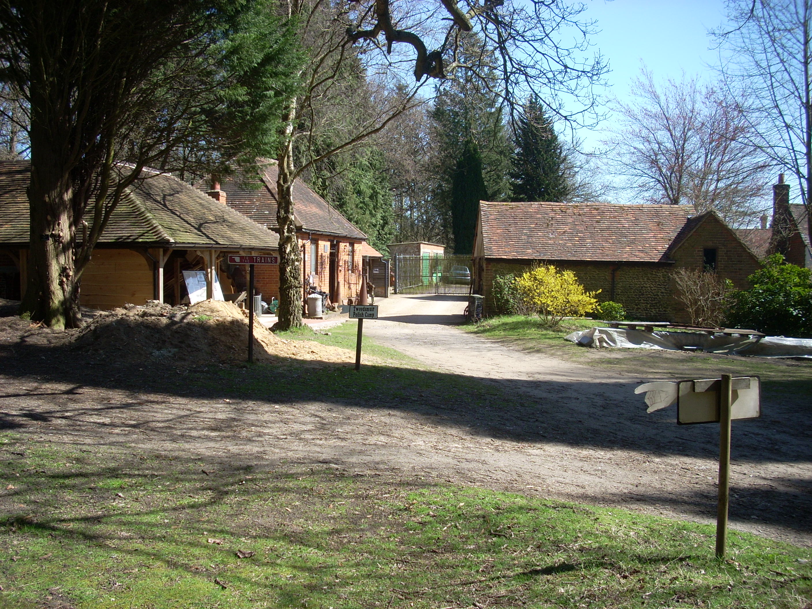
Rural Life Living Museum, Tilford

The Rural Life Living Museum is in Tilford, Surrey near Farnham in southern England. Formerly known as the Old Kiln Agricultural Museum and the Rural Life...

Bron-y-de

Bron-y-de (transl. 'Breast of the south') was a house and surrounding farm in the village of Churt in the southern English county of Surrey. The main house...

Old Kiln Light Railway

The Old Kiln Light Railway is a 2 ft (610 mm) narrow gauge railway at the Rural Life Living Museum in Tilford, near Farnham, Surrey. It has a collection...

Nearby Amenities

Located within 500m of 51.160474,-0.77843971
Direction: 360
Ele: 80
Tourism: viewpoint
Lat/Long: 51.1612238/-0.7808849
Tumulus
Archaeological Site: tumulus
Historic: archaeological_site
Source: OS
Lat/Long: 51.1582099/-0.7811583
Tumulus
Archaeological Site: tumulus
Historic: archaeological_site
Source: OS
Lat/Long: 51.1588424/-0.781287
Tumulus
Archaeological Site: tumulus
Historic: archaeological_site
Source: OS
Lat/Long: 51.1599593/-0.7818879
Bench
Backrest: no
Description: Views over Frensham Great Pond to the Hampshire Hangers including Selborne Hill, Noar Hill and Wheatham Hill.
Direction: 270
Ele: 90
Material: wood
Tourism: viewpoint
Lat/Long: 51.1573475/-0.7814312
Bench
Backrest: no
Ele: 90
Material: wood
Lat/Long: 51.1573385/-0.7814377
Bench
Backrest: no
Ele: 80
Inscription E: IN LOVING MEMORYBOF BRONWEN SHARPE 1939 - 2001
Material: wood
Lat/Long: 51.1629354/-0.7811629
Bench
Backrest: no
Inscription: IN MEMORY OF ANNE ELLEN MERCER 1928 - 2009 | IN MEMORY OF JACK MERCER PILOT 1923 - 2013
Lat/Long: 51.1627969/-0.7817758
Bench
Backrest: no
Inscription: IN LOVING MEMORY OF MAUREEN ANN DRISCOLL
Lat/Long: 51.1617246/-0.7802748
Board Type: nature
Information: board
Tourism: information
Lat/Long: 51.1602313/-0.7739658
Advertising: board
Lat/Long: 51.1602512/-0.7739353
The data included in this document is from www.openstreetmap.org. The data is made available under ODbL.

Have you been to Frensham Common?

Leave your review of Frensham Common below (or comments, questions and feedback).