West Field
Downs, Moorland in Yorkshire
England
West Field
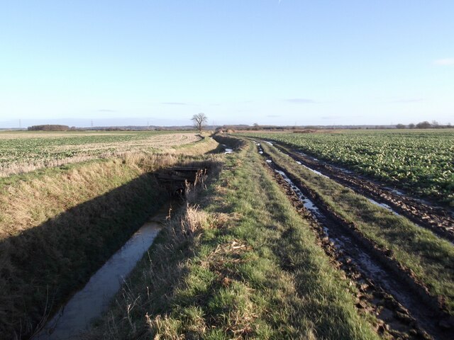
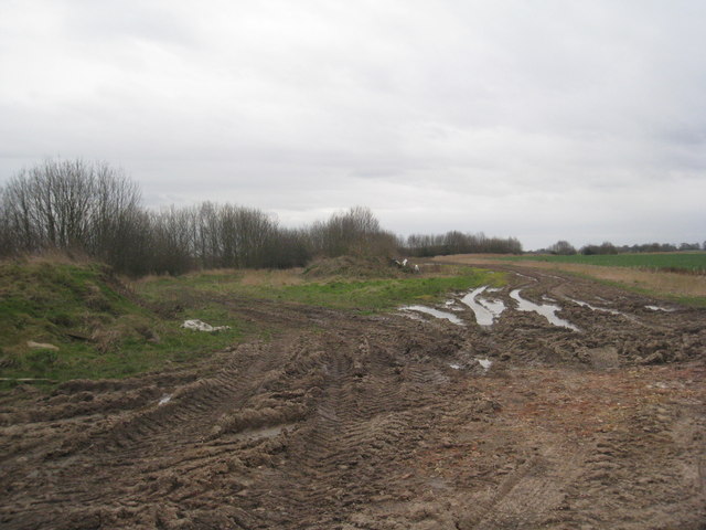
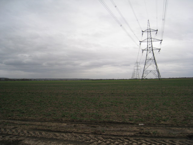
West Field is a picturesque area located in Yorkshire, England, known for its stunning natural beauty and diverse landscapes. The region encompasses both downs and moorland, creating a unique blend of rolling hills and rugged terrain.
The downs of West Field are characterized by their gentle slopes and expansive grasslands. These open spaces provide ample grazing opportunities for livestock and offer breathtaking panoramic views of the surrounding countryside. The downs are also home to a variety of wildflowers and native bird species, making it a haven for nature enthusiasts and birdwatchers.
On the other hand, the moorland in West Field offers a stark contrast with its rugged and dramatic scenery. Here, visitors can explore vast expanses of heather-covered hills, interspersed with rocky outcrops and peat bogs. The moorland provides a habitat for a range of wildlife, including grouse, curlews, and adders, making it a popular destination for wildlife enthusiasts and hikers seeking a more challenging terrain.
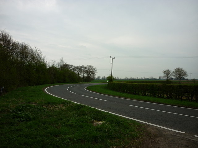
West Field is also dotted with charming villages and historic landmarks, adding to its overall appeal. Local pubs and tearooms offer a warm welcome to visitors, providing an opportunity to sample traditional Yorkshire cuisine and experience the region's warm hospitality.
Overall, West Field, with its blend of downs and moorland, offers visitors a diverse and captivating natural landscape. Whether exploring the gentle slopes of the downs or venturing into the rugged moorland, visitors to this enchanting region are sure to be captivated by its natural beauty and rich biodiversity.
If you have any feedback on the listing, please let us know in the comments section below.
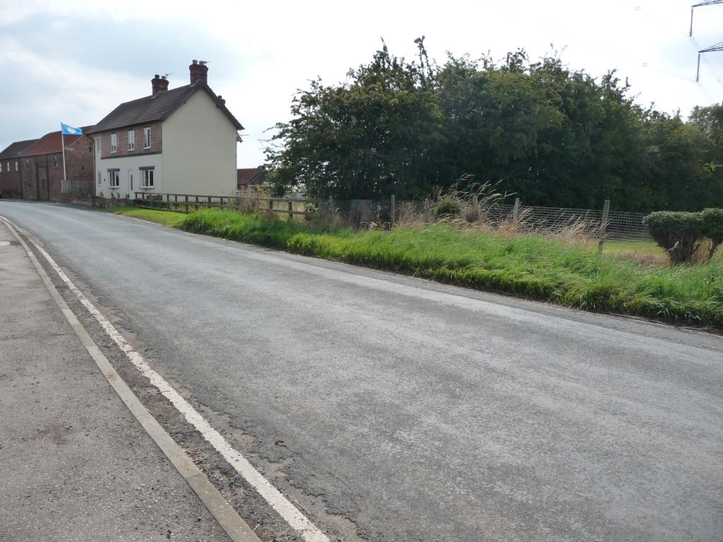
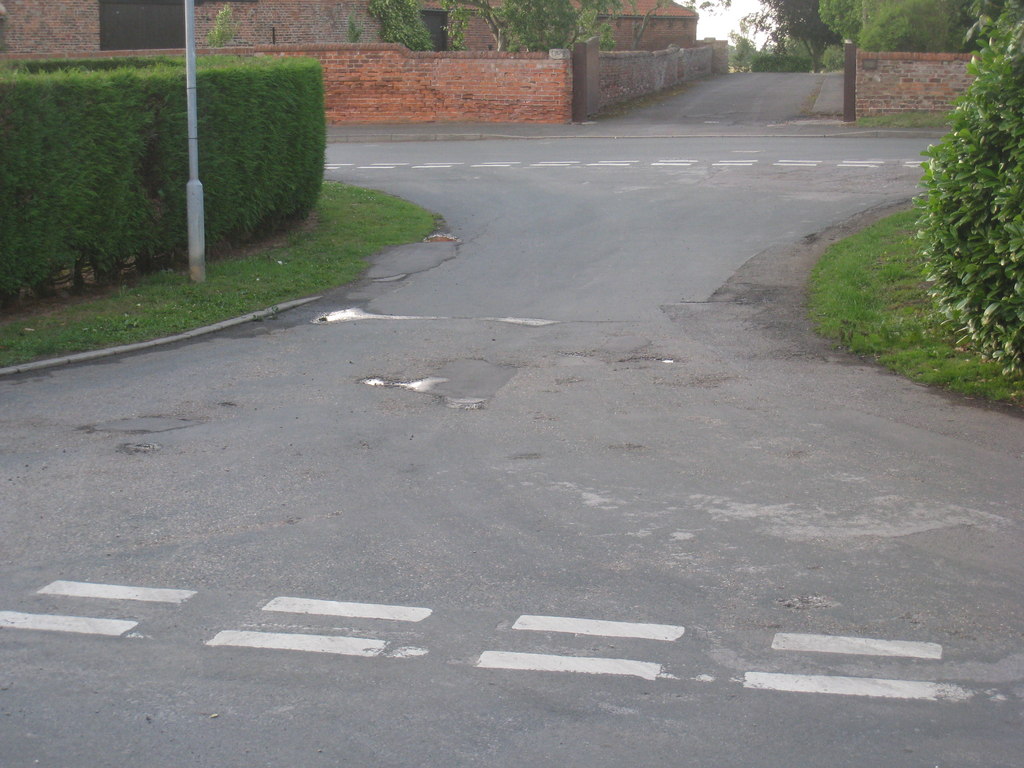
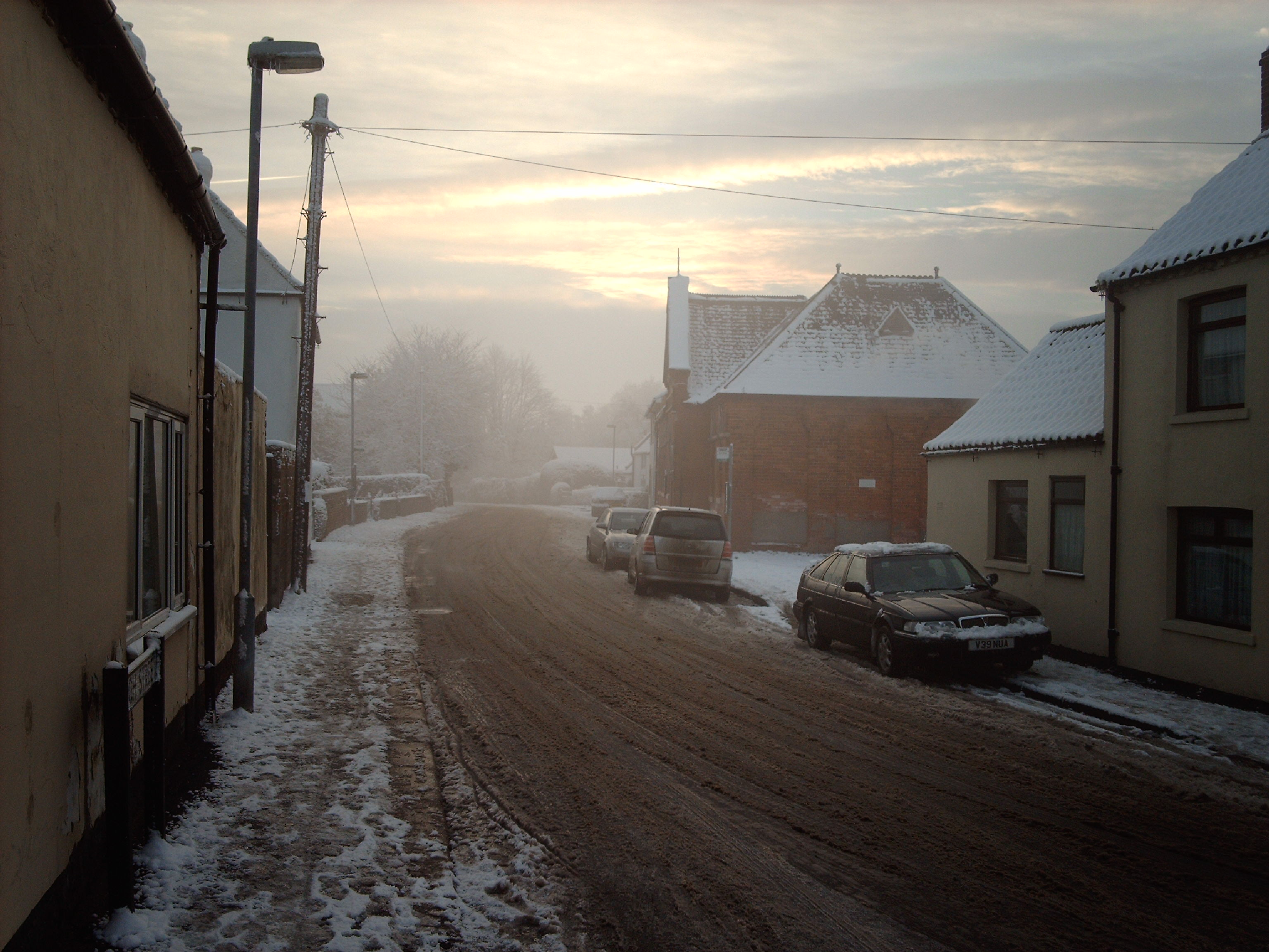
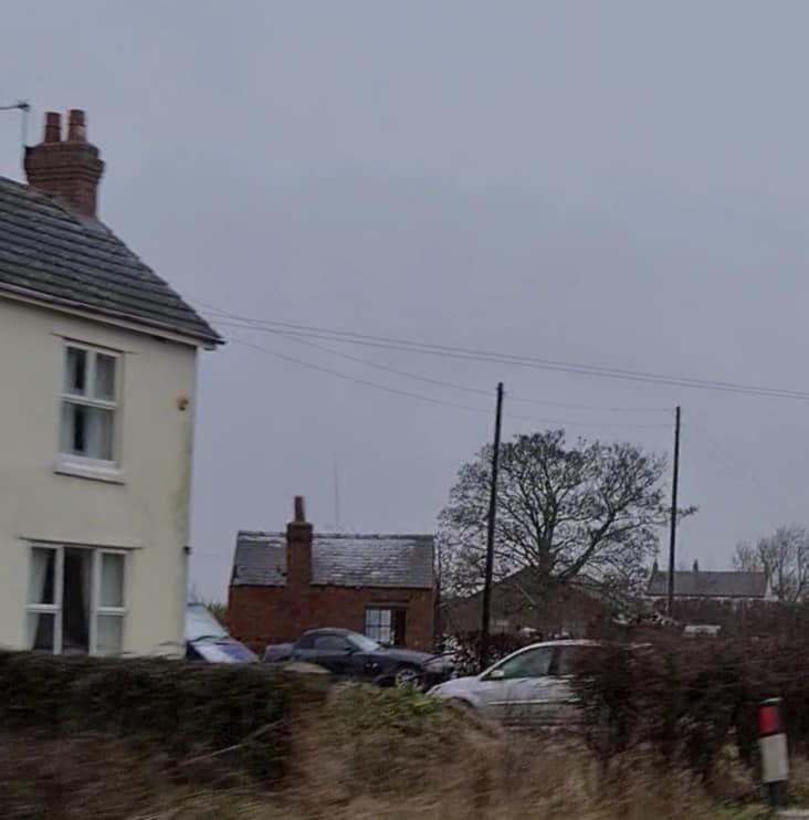
West Field Images
Images are sourced within 2km of 53.676323/-0.75029129 or Grid Reference SE8220. Thanks to Geograph Open Source API. All images are credited.


West Field is located at Grid Ref: SE8220 (Lat: 53.676323, Lng: -0.75029129)
Division: West Riding
Unitary Authority: East Riding of Yorkshire
Police Authority: Humberside
What 3 Words
///stewing.cropping.beamed. Near Eastoft, Lincolnshire
Nearby Locations
Related Wikis

Twin Rivers, East Riding of Yorkshire
Twin Rivers is a civil parish in the East Riding of Yorkshire, England. It is situated along the south bank of the River Ouse to the east of the town...

Adlingfleet
Adlingfleet is a drained, fertile, former marshland village and former civil parish, now in the parish of Twin Rivers, in the East Riding of Yorkshire...

Fockerby railway station
Fockerby railway station was a station in Fockerby, Lincolnshire. It served as the terminus of a branch of the Axholme Joint Railway. It is now closed...

Whitgift, East Riding of Yorkshire
Whitgift is a small linear village and former civil parish, now in the parish of Twin Rivers, in the East Riding of Yorkshire, England approximately 4...
Ousefleet
Ousefleet is a small hamlet and former civil parish, now in the parish of Twin Rivers, in the East Riding of Yorkshire, England approximately 5 miles...
Fockerby
Fockerby is a village in North Lincolnshire, England. It is situated approximately 8 miles (13 km) south-east from Goole and 1 mile (1.6 km) west from...
Garthorpe, Lincolnshire
Garthorpe is a village and former civil parish, now in the parish of Garthorpe and Fockerby, in the North Lincolnshire district, in the ceremonial county...
Eastoft railway station
Eastoft railway station was a station in Eastoft, Lincolnshire on the Axholme Joint Railway. == History == The station was opened on 10 August 1903 when...
Nearby Amenities
Located within 500m of 53.676323,-0.75029129Have you been to West Field?
Leave your review of West Field below (or comments, questions and feedback).