Stoke Down

Downs, Moorland in Sussex Chichester

England

Stoke Down

Trig Point on Bow Hill The trig point on Bow Hill. The hill is an elongated hill ridge and reaches a height of 206 metres (676 feet)..
Trig Point on Bow Hill Credit: Chris Thomas-Atkin

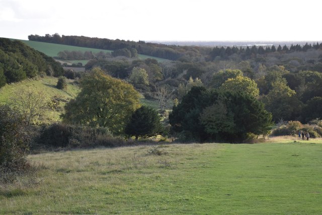
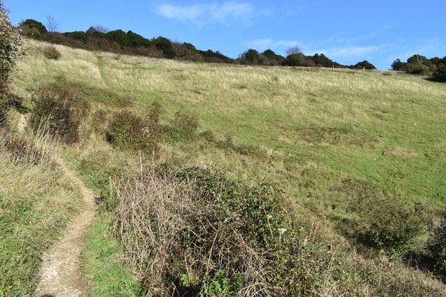
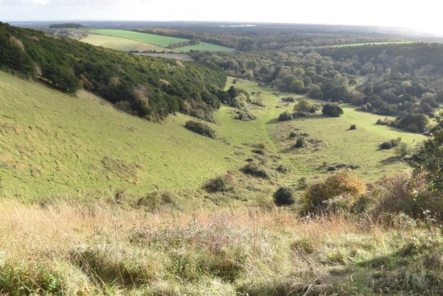
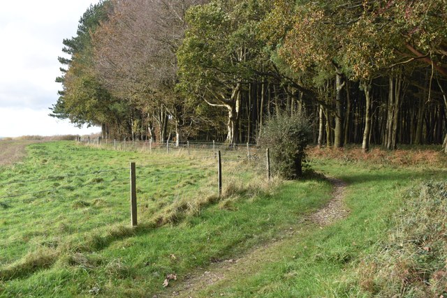
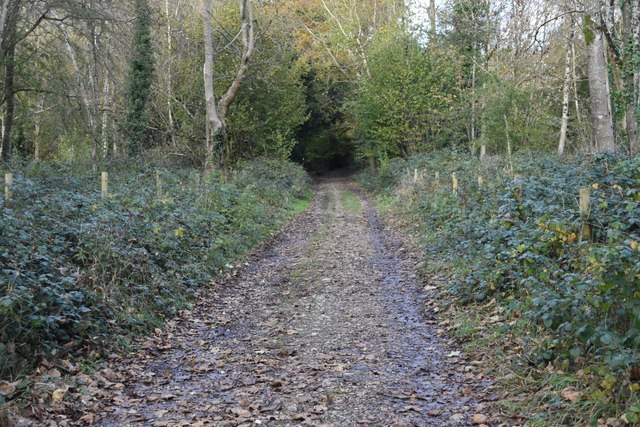
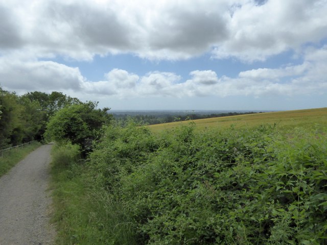
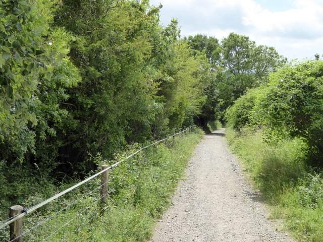
Stoke Down is a picturesque area located in the county of Sussex, England, known for its stunning landscapes and diverse natural habitats. It forms part of the Sussex Downs, a range of rolling chalk hills that stretch across the southeastern part of the country. The Down is situated near the village of Stoke, which adds to its charm and accessibility.

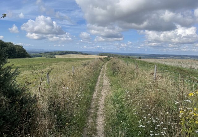
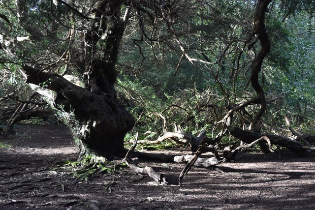
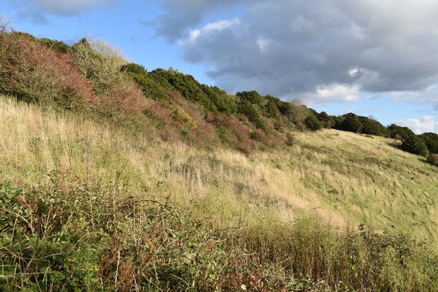
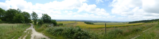
This area is characterized by its beautiful meadows, open grasslands, and patches of moorland. The rich chalky soil allows for the growth of a wide variety of flora and fauna, adding to the ecological significance of Stoke Down. The presence of rare and endangered species, such as the Adonis blue butterfly and the pasqueflower, make it a popular spot for wildlife enthusiasts and nature lovers.

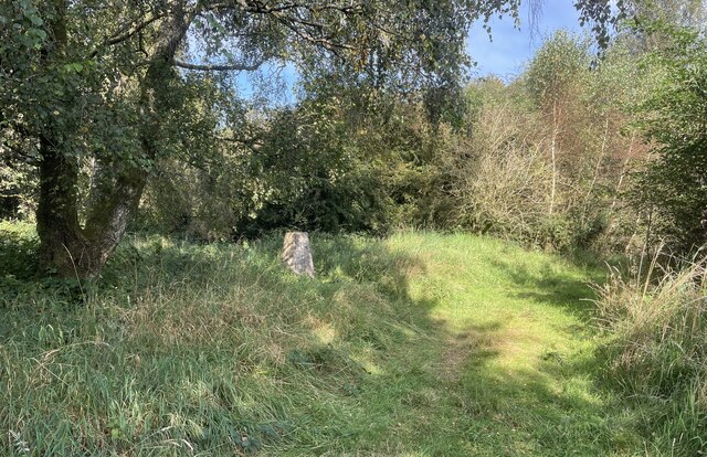
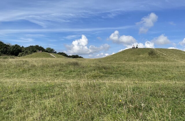
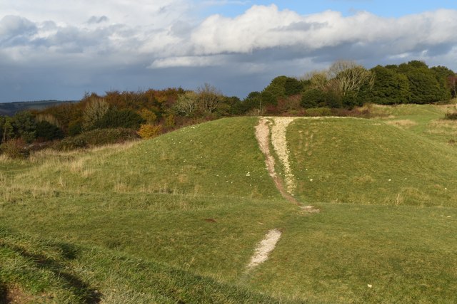
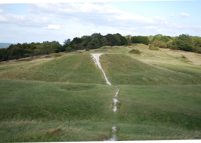
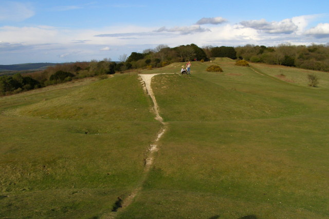
The landscape of Stoke Down is dotted with ancient burial mounds and traces of early settlements, providing a glimpse into the area's rich history. The remains of Iron Age hillforts can also be found, emphasizing its cultural and archaeological importance.

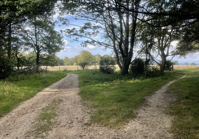
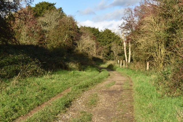
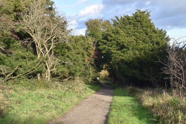
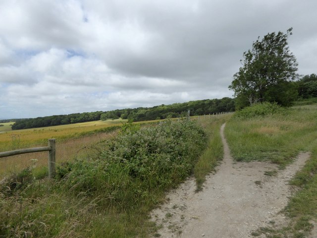
Visitors to Stoke Down can enjoy various activities, including walking, hiking, and birdwatching. The well-maintained footpaths and trails offer breathtaking views of the surrounding countryside, making it an ideal location for outdoor enthusiasts.

Overall, Stoke Down in Sussex is a gem of natural beauty and historical significance. Its diverse landscapes, rich biodiversity, and cultural heritage make it an attractive destination for both locals and tourists seeking tranquility, exploration, and a deeper connection with nature.

If you have any feedback on the listing, please let us know in the comments section below.
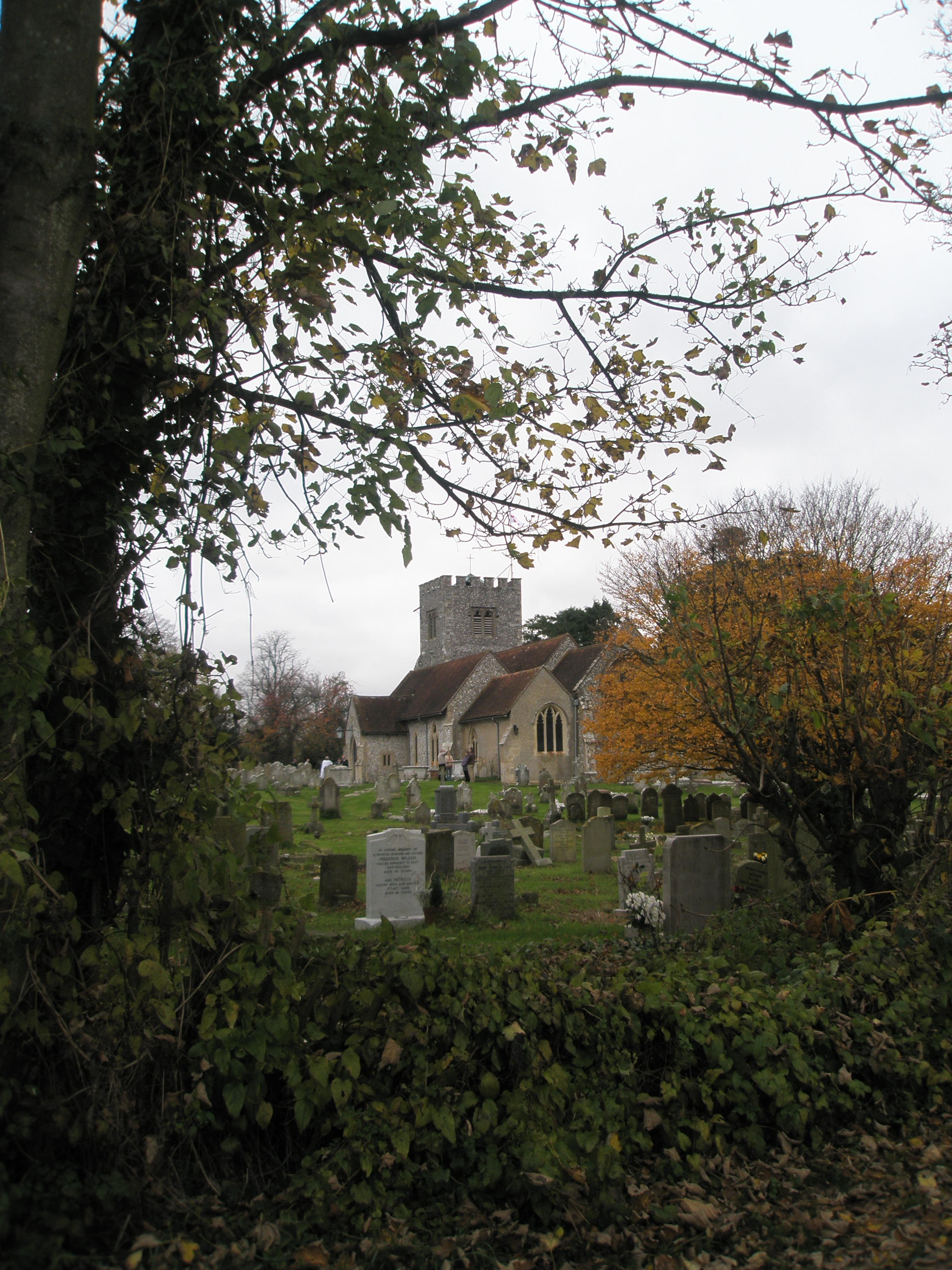
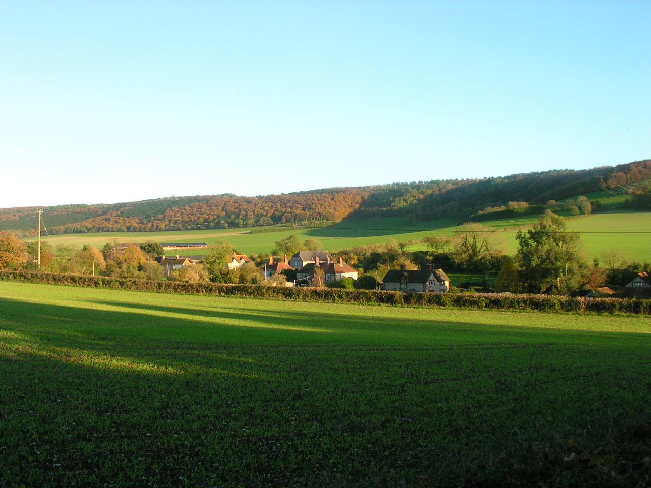
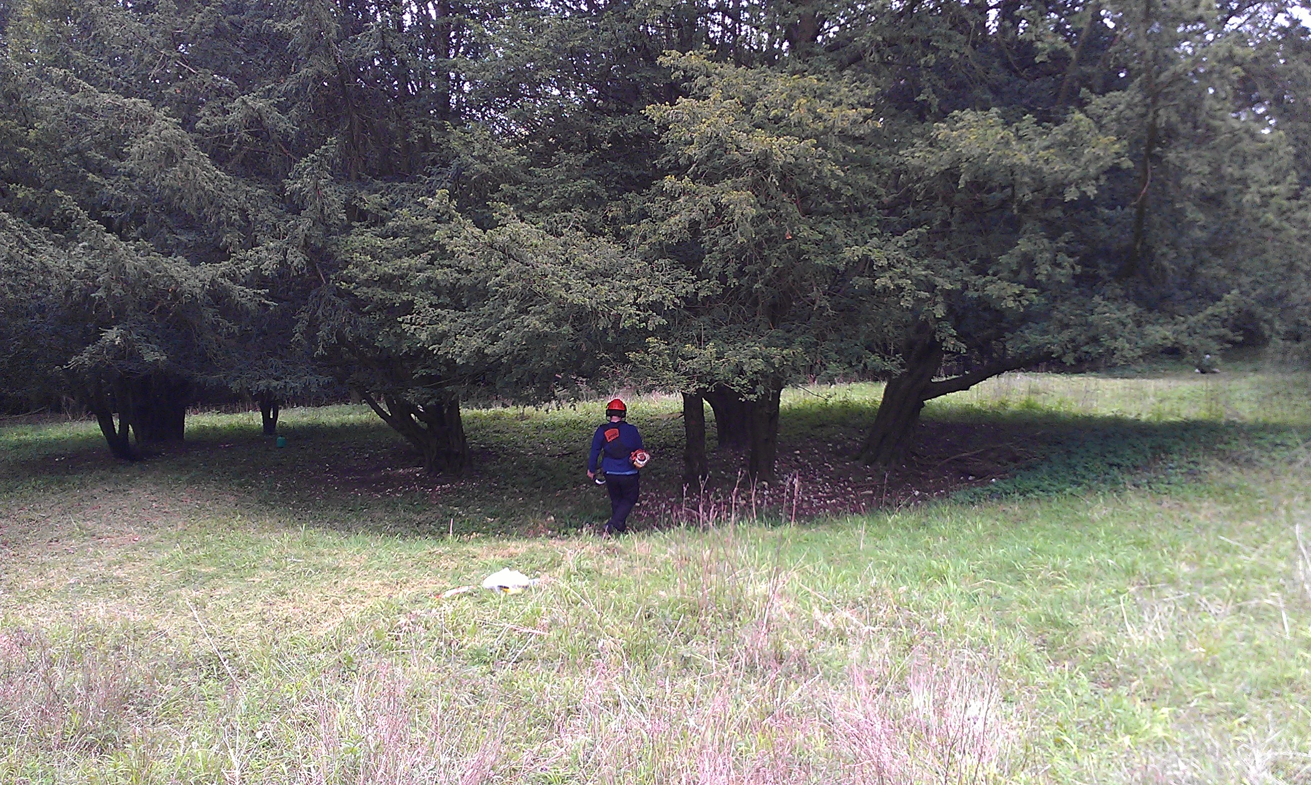
Stoke Down Images

Images are sourced within 2km of 50.881744/-0.83432964 or Grid Reference SU8209. Thanks to Geograph Open Source API. All images are credited.

Trig Point on Bow Hill The trig point on Bow Hill. The hill is an elongated hill ridge and reaches a height of 206 metres (676 feet)..
Trig Point on Bow Hill
The trig point on Bow Hill. The hill is an elongated hill ridge and reaches a height of 206 metres (676 feet)..
The Devil’s Humps Two of the four tumuli on Bow Hill known as the Devil’s Humps.  The tumuli are Bronze Age barrows also known as the Kings’ Graves.
The Devil’s Humps
Two of the four tumuli on Bow Hill known as the Devil’s Humps. The tumuli are Bronze Age barrows also known as the Kings’ Graves.
Bridleway Junction Approaching the junction of bridleways numbers 469 and 477 near Bow Hill.
Bridleway Junction
Approaching the junction of bridleways numbers 469 and 477 near Bow Hill.
Walderton Down On bridleway number 461 heading westwards over Walderton Down. The views to the left extend towards Portsmouth and the Isle of Wight.
Walderton Down
On bridleway number 461 heading westwards over Walderton Down. The views to the left extend towards Portsmouth and the Isle of Wight.
Wooded downland at Kingley Vale
Among the ancient yew trees at Kingley Vale According to The Woodland Trust these are "estimated to be amongst the oldest living things in Britain, and one of the finest yew forests in Western Europe" <span class="nowrap"><a title="https://www.woodlandtrust.org.uk/visiting-woods/woods/kingley-vale/" rel="nofollow ugc noopener" href="https://www.woodlandtrust.org.uk/visiting-woods/woods/kingley-vale/">Link</a><img style="margin-left:2px;" alt="External link" title="External link - shift click to open in new window" src="https://s1.geograph.org.uk/img/external.png" width="10" height="10"/></span>
Among the ancient yew trees at Kingley Vale
According to The Woodland Trust these are "estimated to be amongst the oldest living things in Britain, and one of the finest yew forests in Western Europe" LinkExternal link
Climbing out of the valley at Kingley Vale Just beyond the bend on the left, steps have been cut into the steep final section of the path.
Climbing out of the valley at Kingley Vale
Just beyond the bend on the left, steps have been cut into the steep final section of the path.
View over Kingley Vale Downland valley with distant view to Chichester Harbour and the sea.
View over Kingley Vale
Downland valley with distant view to Chichester Harbour and the sea.
Hillside below the summit of Bow Hill Looking along the hillside from the same spot as <a href="https://www.geograph.org.uk/photo/7645491">SU8210 : View over Kingley Vale</a>.
Hillside below the summit of Bow Hill
Looking along the hillside from the same spot as SU8210 : View over Kingley Vale.
From one of the Devil's Humps to another Bronze Age barrows on the ridge of Bow Hill, with wide downland views to both north and south.
From one of the Devil's Humps to another
Bronze Age barrows on the ridge of Bow Hill, with wide downland views to both north and south.
Sunlit bridleway towards the Devil's Humps
Bridleway just southwest of the Devil's Humps
Woodland edge west of Kingley Vale
Bridleway at Hounsom Firs
Looking down Stoke Down From the path outside the western edge of Kingley Vale
Looking down Stoke Down
From the path outside the western edge of Kingley Vale
Track on west side of Kingley Vale reserve A popular track for mountain biking, as this is not allowed in the reserve
Track on west side of Kingley Vale reserve
A popular track for mountain biking, as this is not allowed in the reserve
Fork in tracks on Stoke Down The track ahead is a bridleway; on the right is a footpath, also used by mountain bikers
Fork in tracks on Stoke Down
The track ahead is a bridleway; on the right is a footpath, also used by mountain bikers
Panorama looking down Stoke Down The view includes Kingley Vale on the left.  It looks across Chichester and Selsey
Panorama looking down Stoke Down
The view includes Kingley Vale on the left. It looks across Chichester and Selsey
Show me another place!

Stoke Down is located at Grid Ref: SU8209 (Lat: 50.881744, Lng: -0.83432964)

Administrative County: West Sussex

District: Chichester

Police Authority: Sussex

What 3 Words

///intent.basically.optimally. Near Bosham, West Sussex

Nearby Locations

West Copse Stoke Down

Related Wikis

Devil's Humps, Stoughton

The Devil's Humps (also known as the Kings' Graves) are four Bronze Age barrows situated on Bow Hill on the South Downs near Stoughton, West Sussex. They...

Kingley Vale National Nature Reserve

Kingley Vale is a 204.4-hectare (505-acre) biological Site of Special Scientific Interest north of Chichester in West Sussex. It is also a Special Area...

Bow Hill, Sussex

Bow Hill is an elongated hill ridge, 206 metres (676 ft) high, and running roughly from north to south in the South Downs, in the county of West Sussex...

Funtington

Funtington is a village and civil parish in the Chichester district of West Sussex, England. It lies on the B2146 Road 4.5 miles (7.2 km) west of Chichester...

Stoughton, West Sussex

Stoughton is a village and civil parish in the District of Chichester in West Sussex, England located nine kilometres (5.6 miles) north west of Chichester...

River Ems (Chichester Harbour)

The River Ems is a much-sluiced, six miles (9.7 km) river that is located in the far west of the county of West Sussex, England.The last one and a half...

Goosehill Camp

Goosehill Camp is a prehistoric earthwork that dates back to the Iron Age. It consists of two concentric banks and ditches. The inner enclosure has one...

Walderton

Walderton is a hamlet in the Chichester district of West Sussex, England. It lies on the B2146 road 4 miles (6.4 km) northeast of Emsworth. It is in the...

Nearby Amenities

Located within 500m of 50.881744,-0.83432964
Barrier: kissing_gate
Foot: yes
Lat/Long: 50.8858629/-0.837184
Shelter
Shelter Type: pavilion
Lat/Long: 50.8836298/-0.8301341
Stoke Down
Place: locality
Source: OS_OpenData_StreetView
Lat/Long: 50.8824158/-0.8346369
Barrier: kissing_gate
Lat/Long: 50.8832245/-0.8302053
The data included in this document is from www.openstreetmap.org. The data is made available under ODbL.

Have you been to Stoke Down?

Leave your review of Stoke Down below (or comments, questions and feedback).