Bennington Fen
Downs, Moorland in Lincolnshire South Kesteven
England
Bennington Fen

Bennington Fen is a unique and picturesque landscape located in Lincolnshire, England. Spanning across downs and moorland, this area is known for its rich biodiversity and stunning natural beauty.
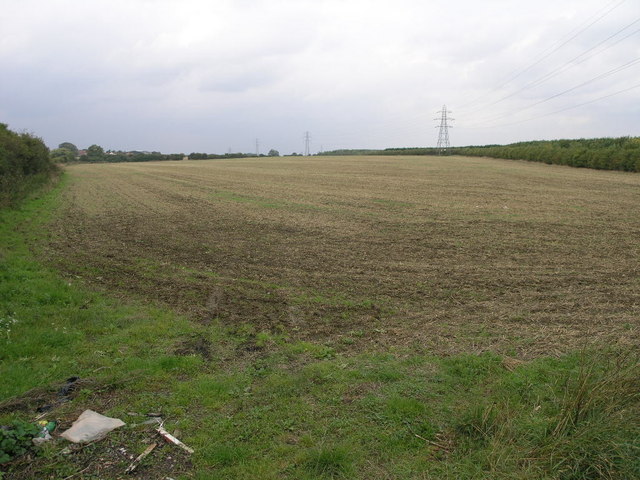
Covering an area of approximately 500 hectares, Bennington Fen is home to a variety of plant and animal species, making it a haven for nature enthusiasts and wildlife lovers. The fen is characterized by its wetland habitats, including marshes, reed beds, and open water. These habitats provide a breeding ground for numerous bird species, including bitterns, marsh harriers, and reed warblers.
The fen is also known for its diverse plant life, with species such as purple moor grass, common reed, and water horsetail thriving in this wetland environment. These plants not only contribute to the beauty of the landscape but also play a crucial role in maintaining the ecological balance of the fen.
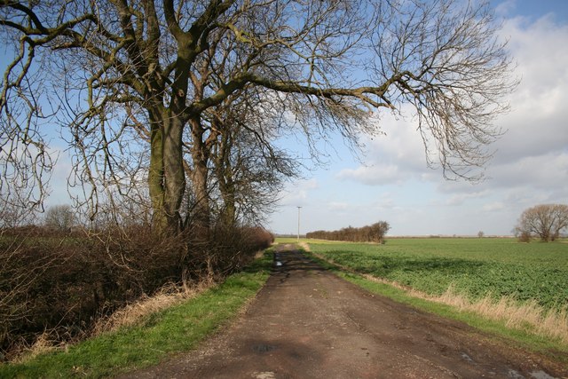
In addition to its natural wonders, Bennington Fen offers visitors the opportunity to explore its peaceful trails and enjoy its tranquil atmosphere. The fen is a popular destination for hiking, birdwatching, and nature photography, attracting visitors from near and far.
Bennington Fen is a designated Site of Special Scientific Interest (SSSI) due to its conservation value and unique ecology. Efforts are made to preserve and protect this fragile ecosystem, ensuring that future generations can continue to appreciate its beauty and ecological significance.
If you have any feedback on the listing, please let us know in the comments section below.
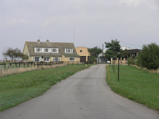
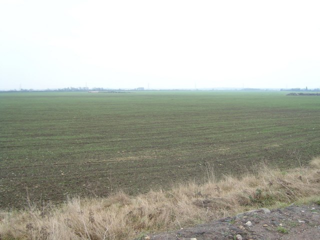
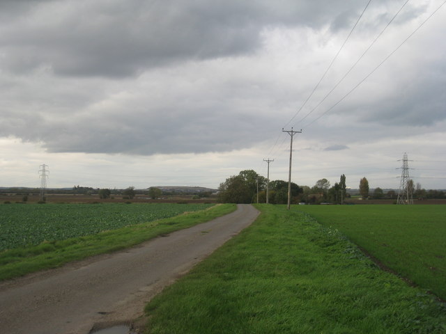
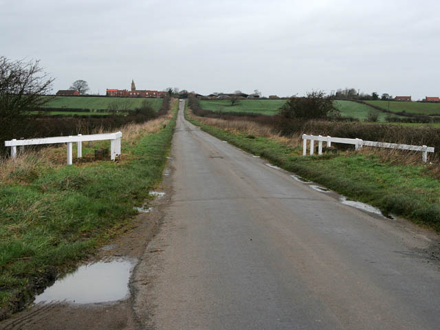
Bennington Fen Images
Images are sourced within 2km of 53.02224/-0.7799484 or Grid Reference SK8147. Thanks to Geograph Open Source API. All images are credited.


Bennington Fen is located at Grid Ref: SK8147 (Lat: 53.02224, Lng: -0.7799484)
Administrative County: Lincolnshire
District: South Kesteven
Police Authority: Lincolnshire
What 3 Words
///galaxy.being.mallets. Near Claypole, Lincolnshire
Nearby Locations
Related Wikis
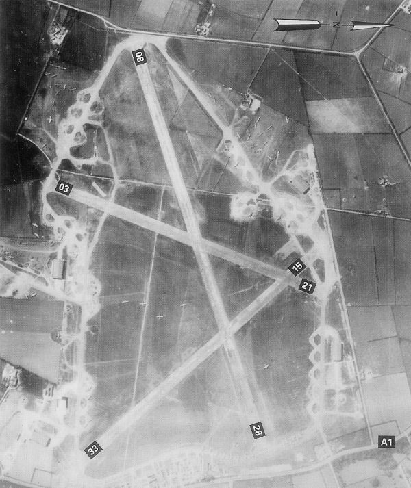
RAF Balderton
Royal Air Force Balderton or more simply RAF Balderton was a former Royal Air Force station located 2.0 miles (3.2 km) south of Newark-on-Trent, sandwiched...

Fernwood, Nottinghamshire
Fernwood is a village and civil parish in the Newark and Sherwood district of Nottinghamshire, England. The parish, which then included Balderton, had...

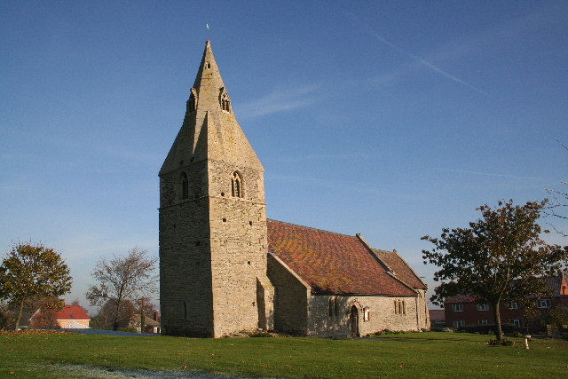
St Michael's Church, Cotham
St Michael's Church is a redundant Anglican church in the village of Cotham, Nottinghamshire, England. The building dates back to the 12th century. �...
Cotham, Nottinghamshire
Cotham, Nottinghamshire is a small village near Newark-on-Trent in the East Midlands of England. == Population == At the 2011 Census, the village population...
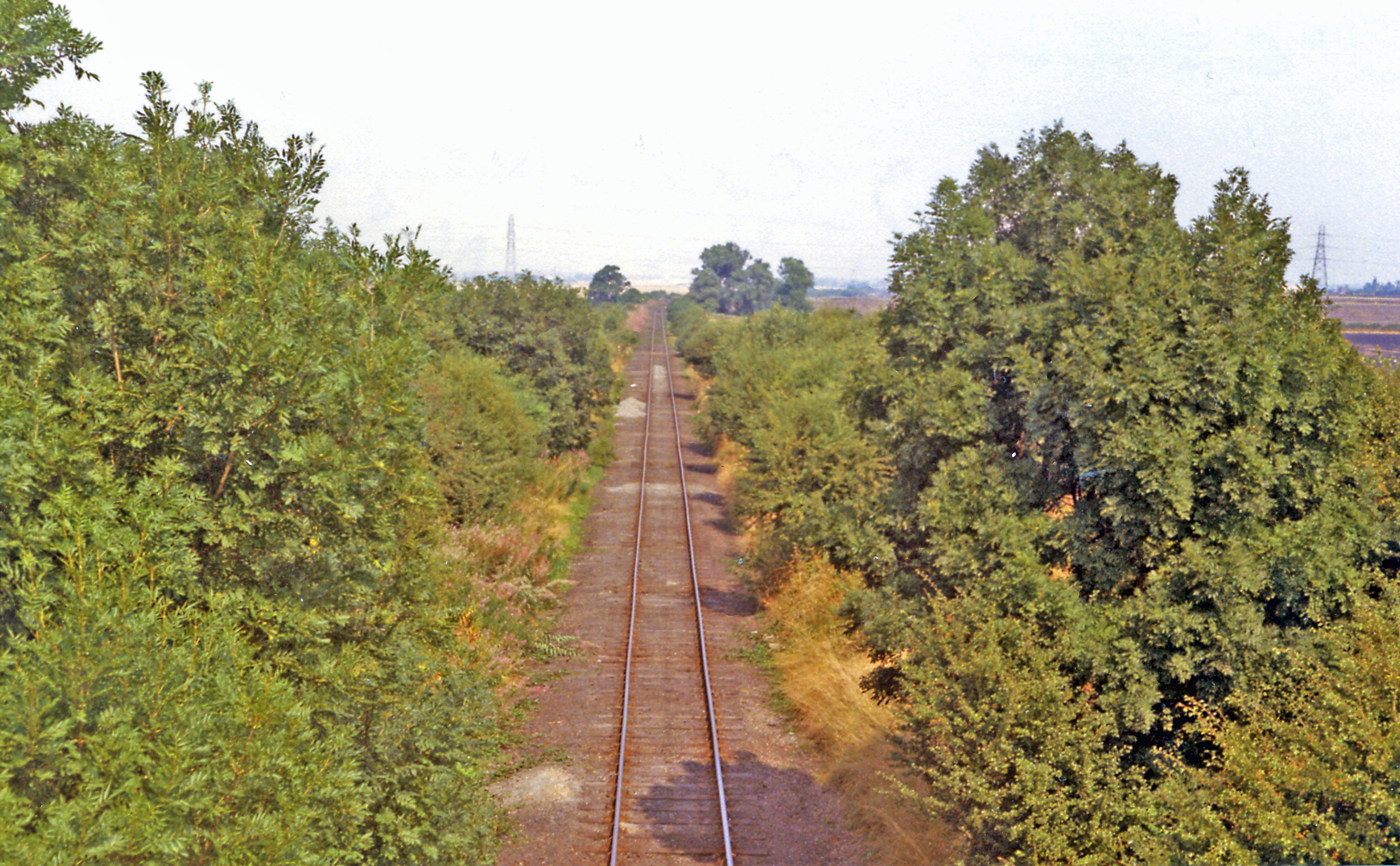
Cotham railway station
Cotham railway station was a railway station serving the village of Cotham, Nottinghamshire. It was the only intermediate station on the Great Northern...
Westborough and Dry Doddington
Westborough and Dry Doddington is a civil parish in the north-west of South Kesteven in the county of Lincolnshire. The population of the civil parish...
Dry Doddington
Dry Doddington is a small village in the north-west of the South Kesteven district of Lincolnshire, England within the civil parish of Westborough and...
Claypole, Lincolnshire
Claypole is a village and civil parish in the South Kesteven district of Lincolnshire, England. The population of the civil parish at the 2011 census was...
Nearby Amenities
Located within 500m of 53.02224,-0.7799484Have you been to Bennington Fen?
Leave your review of Bennington Fen below (or comments, questions and feedback).