Adlingfleet Common
Downs, Moorland in Yorkshire
England
Adlingfleet Common
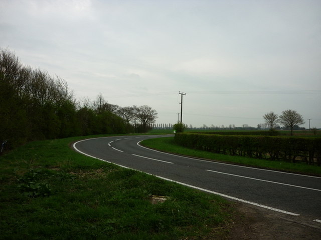
Adlingfleet Common is a picturesque area located in the East Riding of Yorkshire, England. Nestled between the Yorkshire Wolds and the Humber Estuary, it encompasses a diverse range of natural landscapes, including downs and moorland.
The common spans an area of approximately 200 acres and is characterized by its rolling hills, open grasslands, and heathland vegetation. The downs, which dominate the western part of the common, are defined by their gently sloping hills and offer breathtaking panoramic views of the surrounding countryside. The moorland, on the other hand, is located towards the eastern side and is marked by its heather-covered expanses, interspersed with small ponds and marshy areas.
Adlingfleet Common is home to a rich variety of flora and fauna, with several rare and protected species thriving in its diverse habitats. Visitors can expect to encounter wildflowers such as heather, bilberry, and cotton grass, as well as a wide range of bird species, including curlews, lapwings, and skylarks. The common is also known to support a small population of deer.
With its tranquil ambiance and untouched beauty, Adlingfleet Common offers a haven for nature enthusiasts and hikers seeking to explore the great outdoors. It is a popular destination for walking and birdwatching, with several well-marked trails and viewing points. The common is managed by the Yorkshire Wildlife Trust, which ensures the preservation of its unique ecosystems and promotes conservation efforts.
If you have any feedback on the listing, please let us know in the comments section below.
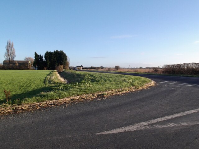
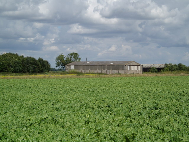
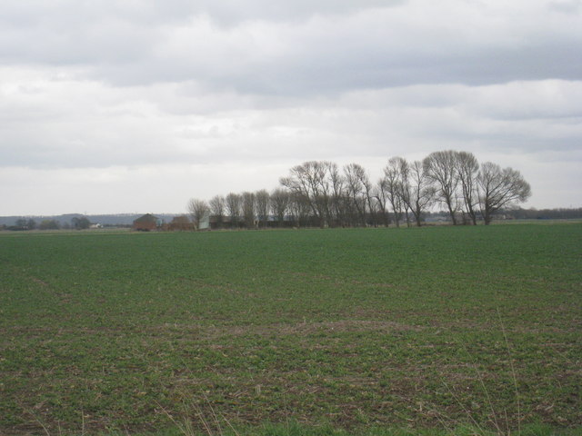
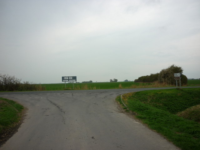
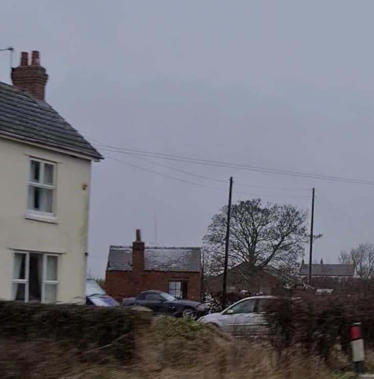
Adlingfleet Common Images
Images are sourced within 2km of 53.662688/-0.76517803 or Grid Reference SE8119. Thanks to Geograph Open Source API. All images are credited.


Adlingfleet Common is located at Grid Ref: SE8119 (Lat: 53.662688, Lng: -0.76517803)
Division: West Riding
Unitary Authority: East Riding of Yorkshire
Police Authority: Humberside
What 3 Words
///playback.pool.played. Near Eastoft, Lincolnshire
Nearby Locations
Related Wikis
Eastoft railway station
Eastoft railway station was a station in Eastoft, Lincolnshire on the Axholme Joint Railway. == History == The station was opened on 10 August 1903 when...

Luddington railway station
Luddington railway station was a station in Luddington, Lincolnshire on the Axholme Joint Railway branch to Fockerby. == References ==

Fockerby railway station
Fockerby railway station was a station in Fockerby, Lincolnshire. It served as the terminus of a branch of the Axholme Joint Railway. It is now closed...
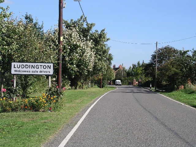
Luddington, Lincolnshire
Luddington is a village and former civil parish, now in the parish of Luddington with Haldenby, on the Isle of Axholme in the North Lincolnshire district...
Nearby Amenities
Located within 500m of 53.662688,-0.76517803Have you been to Adlingfleet Common?
Leave your review of Adlingfleet Common below (or comments, questions and feedback).