North Field
Downs, Moorland in Yorkshire
England
North Field
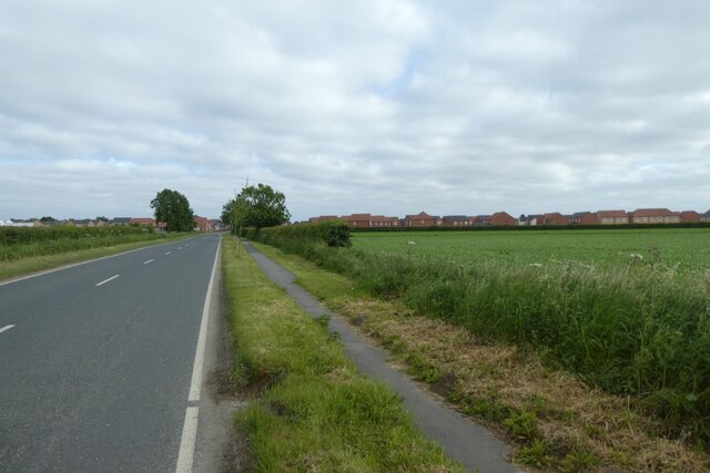
North Field is a picturesque region located in Yorkshire, England, known for its stunning downs and moorland landscapes. Covering a vast area, this natural wonder boasts an array of diverse flora and fauna, making it a haven for nature enthusiasts.
The downs of North Field are characterized by rolling hills covered in lush green grass, providing a serene and peaceful atmosphere. As one explores these gentle slopes, they may stumble upon charming villages nestled between the fields, offering a glimpse into the region's rich history and rural lifestyle.
The moorland, on the other hand, presents a striking contrast with its rugged and untamed beauty. This wild and remote terrain is covered in heather and bracken, painting the landscape with a vibrant purple hue during the summer months. The moors are home to an array of wildlife, including birds of prey like kestrels and merlins, as well as unique plant species such as bilberries and cotton grass.
North Field offers an abundance of outdoor activities for visitors to enjoy. Hiking and walking trails crisscross the region, allowing adventurers to explore its natural wonders at their own pace. Additionally, the area is a popular destination for birdwatchers, who can spot a variety of migratory and resident species throughout the year.
The charm of North Field lies in its untouched and idyllic beauty, providing a respite from the hustle and bustle of everyday life. Whether it's the tranquil downs or the rugged moorland, this region offers a glimpse into the unspoiled natural landscapes that make Yorkshire truly remarkable.
If you have any feedback on the listing, please let us know in the comments section below.
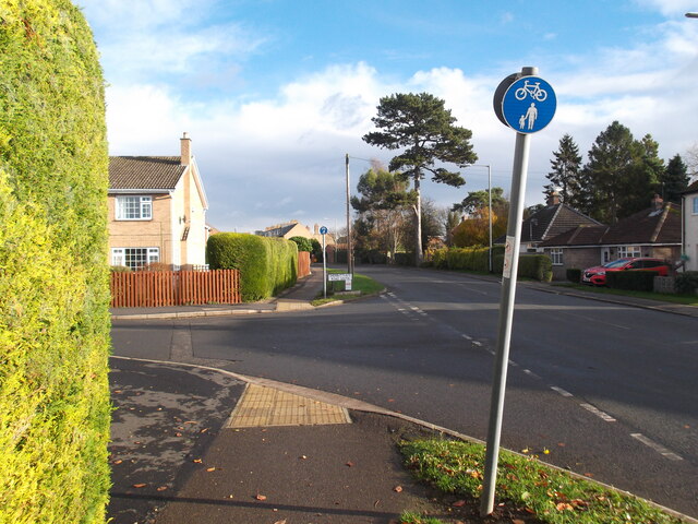
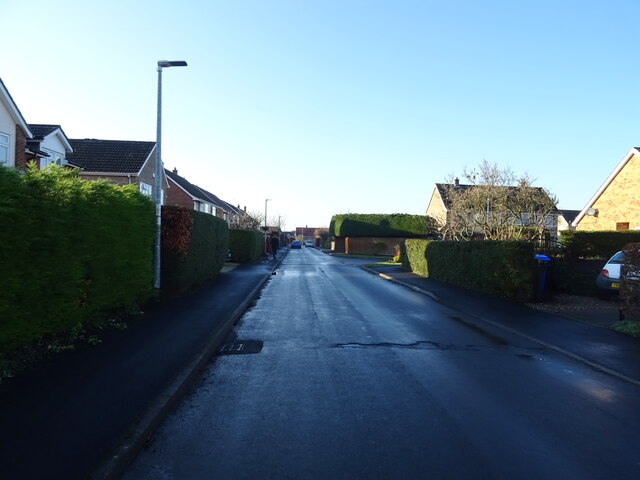
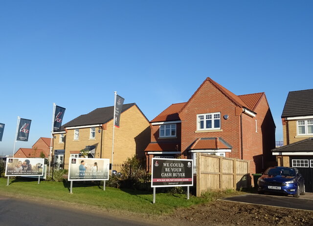
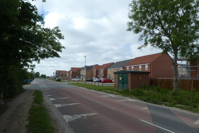
North Field Images
Images are sourced within 2km of 53.942707/-0.78431707 or Grid Reference SE7950. Thanks to Geograph Open Source API. All images are credited.


North Field is located at Grid Ref: SE7950 (Lat: 53.942707, Lng: -0.78431707)
Division: East Riding
Unitary Authority: East Riding of Yorkshire
Police Authority: Humberside
What 3 Words
///dispenser.grazed.rots. Near Pocklington, East Yorkshire
Nearby Locations
Related Wikis

Pocklington
Pocklington is a market town and civil parish at the foot of the Yorkshire Wolds in the East Riding of Yorkshire, England. At the 2011 Census, its population...

Church of All Saints, Pocklington
All Saints’ Church, Pocklington is the Anglican parish church for the town of Pocklington, East Riding of Yorkshire, England. It is also known locally...
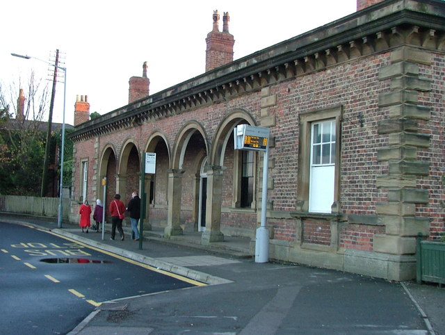
Pocklington railway station
Pocklington railway station was a station on the York to Beverley Line that served the town of Pocklington, East Riding of Yorkshire, England. It opened...
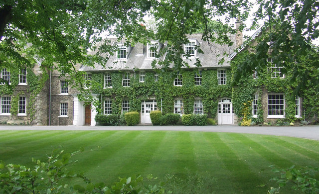
Pocklington School
Pocklington School is a private day and boarding school in Pocklington, East Riding of Yorkshire, England. It was founded in 1514 by John Dolman. The school...
Nearby Amenities
Located within 500m of 53.942707,-0.78431707Have you been to North Field?
Leave your review of North Field below (or comments, questions and feedback).