Snake Island
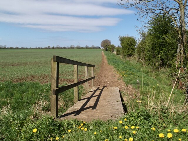
Downs, Moorland in Yorkshire
England
Snake Island
Snake Island, located in Yorkshire, is a scenic and captivating natural attraction that is part of the larger landscape of the Yorkshire Downs and Moorland. This enchanting island, situated within a picturesque lake, offers visitors a unique and immersive experience in the heart of nature.
The island derives its name from the abundance of snakes that inhabit the area. While predominantly home to grass snakes and adders, it is also known to host other reptile species, making it a haven for wildlife enthusiasts and herpetologists alike. Visitors to Snake Island can observe these fascinating creatures in their natural habitat, while respecting their space and ensuring their conservation.
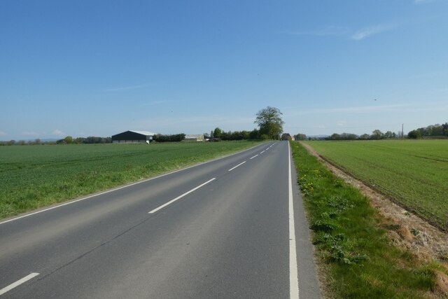
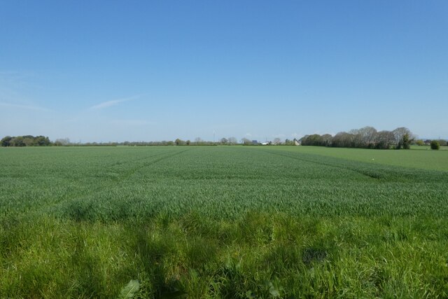
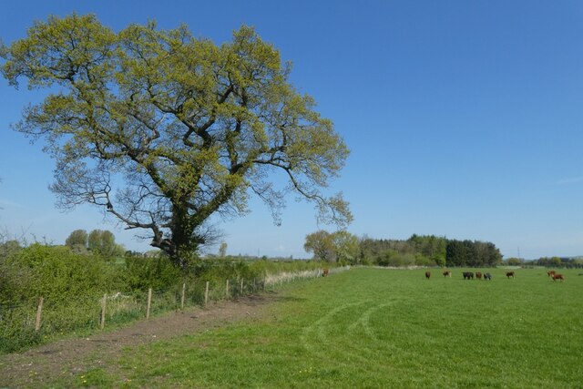
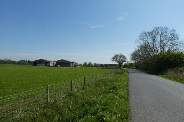
The island itself boasts breathtaking views, with rolling hills, lush greenery, and serene waters surrounding it. It is a popular destination for hikers and nature lovers, providing numerous walking trails that allow visitors to explore the diverse flora and fauna of the region. The tranquil atmosphere and untouched beauty of Snake Island make it an ideal place for relaxation and contemplation.
In addition to its natural allure, Snake Island offers several amenities for visitors. There are picnic areas and benches scattered throughout the island, providing a perfect spot to enjoy a packed lunch while taking in the stunning surroundings. The island's visitor center offers information on the local wildlife and organizes guided tours for those seeking a more in-depth understanding of the area.
Snake Island, nestled within the Yorkshire Downs and Moorland, is a must-visit destination for those seeking a tranquil escape into nature. With its abundance of snakes, captivating scenery, and diverse wildlife, this enchanting island offers an unforgettable experience for all who venture to its shores.
If you have any feedback on the listing, please let us know in the comments section below.
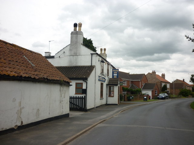
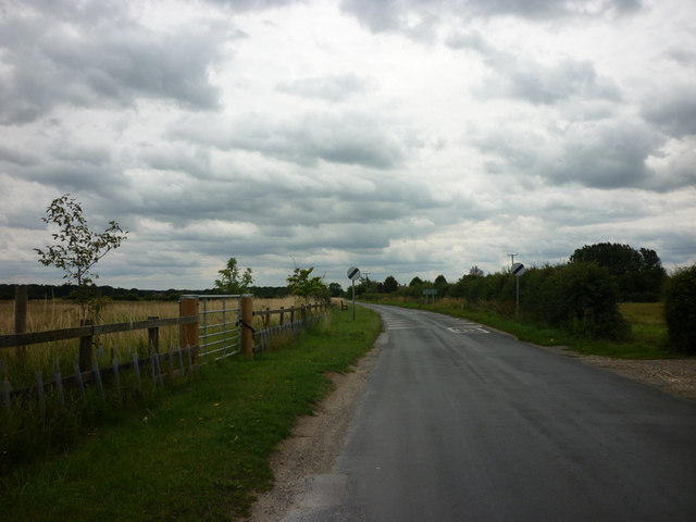
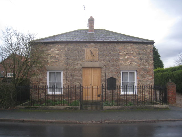
Snake Island Images
Images are sourced within 2km of 53.867555/-0.78705962 or Grid Reference SE7941. Thanks to Geograph Open Source API. All images are credited.


Snake Island is located at Grid Ref: SE7941 (Lat: 53.867555, Lng: -0.78705962)
Division: East Riding
Unitary Authority: East Riding of Yorkshire
Police Authority: Humberside
What 3 Words
///backtrack.swordfish.informer. Near Hayton, East Yorkshire
Nearby Locations
Related Wikis

Ss Mary & Everilda, Everingham
The Chapel of St. Mary the Virgin and St. Everilda, in the village of Everingham in the East Riding of Yorkshire, England, is an impressive Italianate...

Everingham
Everingham is a village in the East Riding of Yorkshire, England. It is 5 miles (8 km) west of Market Weighton town centre and 4 miles (6 km) south of...

Seaton Ross
Seaton Ross is a village and civil parish in the East Riding of Yorkshire, England. It is situated approximately 6 miles (9.7 km) west of the market town...

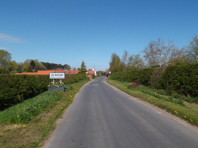
Bielby
Bielby is a village and civil parish in the East Riding of Yorkshire, England. The village is situated about 4 miles (6.4 km) south of Pocklington. According...
Nearby Amenities
Located within 500m of 53.867555,-0.78705962Have you been to Snake Island?
Leave your review of Snake Island below (or comments, questions and feedback).