Adlingfleet Moor
Downs, Moorland in Yorkshire
England
Adlingfleet Moor
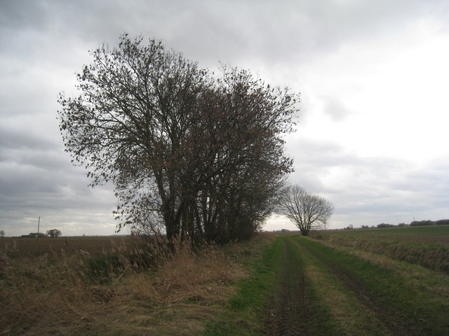
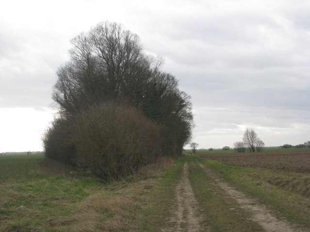
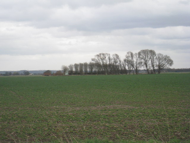
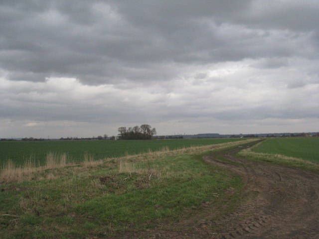
Adlingfleet Moor is a picturesque expanse of moorland located in the East Riding of Yorkshire, England. Covering an area of approximately 400 acres, this remarkable landscape is situated near the village of Adlingfleet, nestled between the River Trent and the Humber Estuary.
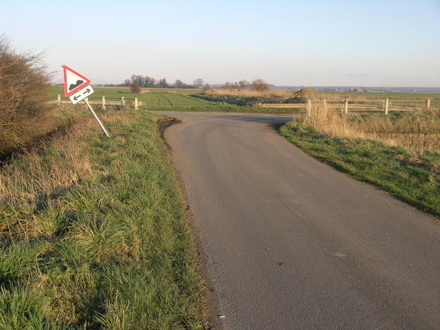
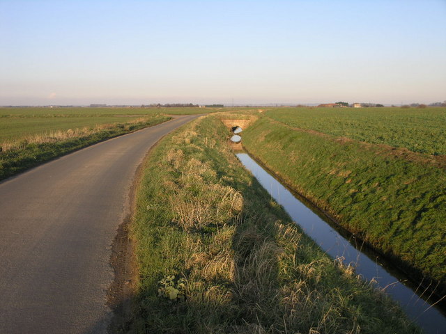
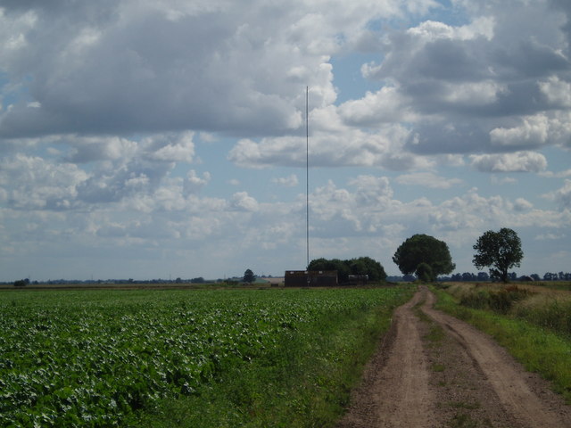
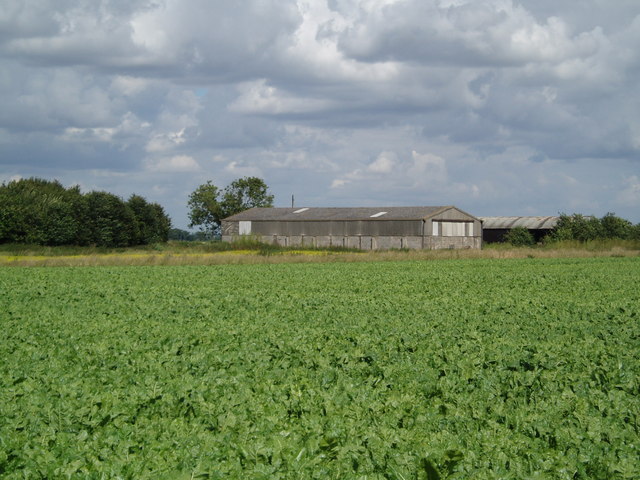
The moorland at Adlingfleet is characterized by its undulating terrain, featuring gentle slopes and occasional dips. The area is predominantly covered in heather, creating a beautiful purple-hued carpet during the summer months. This vibrant heather is interspersed with patches of grasses, gorse, and scattered shrubs, adding to the diverse range of flora found here.
Adlingfleet Moor is home to a variety of wildlife, making it a popular spot for nature enthusiasts and birdwatchers. The moorland provides a crucial habitat for numerous bird species, including skylarks, lapwings, curlews, and meadow pipits. Visitors may also catch a glimpse of kestrels and buzzards soaring overhead or spot rabbits darting through the undergrowth.
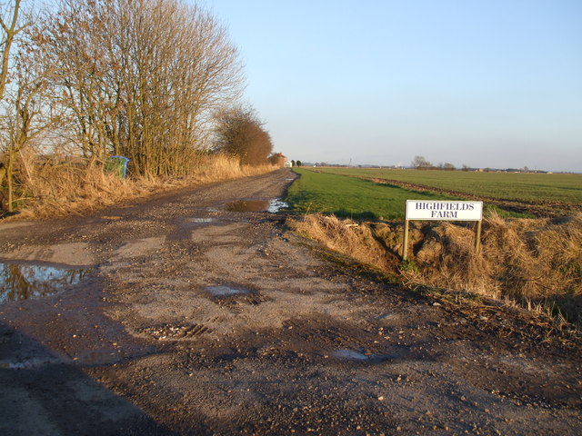
The moorland is intersected by several footpaths and trails, allowing visitors to explore the area on foot and take in the stunning views. These paths are well-maintained, making it accessible for walkers of all abilities.
Adlingfleet Moor offers a tranquil escape from the hustle and bustle of everyday life, providing an opportunity to immerse oneself in nature's beauty. Whether it's taking a leisurely stroll, birdwatching, or simply admiring the breathtaking scenery, this hidden gem in Yorkshire promises a serene and memorable experience for all who visit.
If you have any feedback on the listing, please let us know in the comments section below.
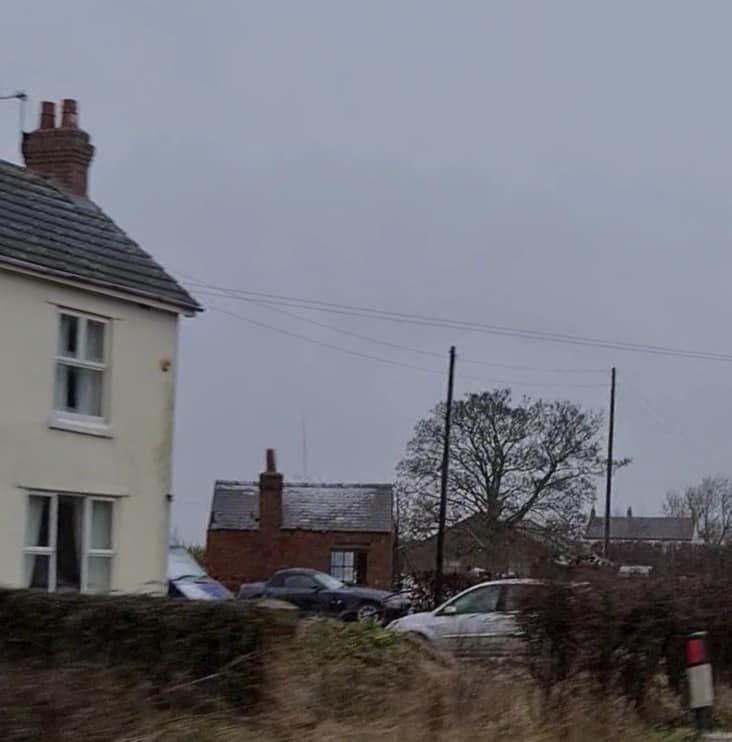
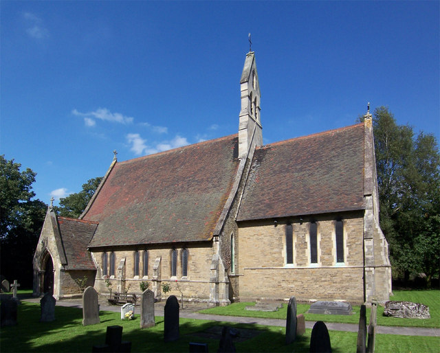
Adlingfleet Moor Images
Images are sourced within 2km of 53.655909/-0.79320334 or Grid Reference SE7918. Thanks to Geograph Open Source API. All images are credited.


Adlingfleet Moor is located at Grid Ref: SE7918 (Lat: 53.655909, Lng: -0.79320334)
Division: West Riding
Unitary Authority: North Lincolnshire
Police Authority: Humberside
What 3 Words
///hoaxes.microfilm.seasons. Near Eastoft, Lincolnshire
Nearby Locations
Related Wikis
Eastoft railway station
Eastoft railway station was a station in Eastoft, Lincolnshire on the Axholme Joint Railway. == History == The station was opened on 10 August 1903 when...
Eastoft
Eastoft is a village and civil parish in North Lincolnshire, England. It is situated within the Isle of Axholme, 3 miles (5 km) north-east from Crowle...

Luddington railway station
Luddington railway station was a station in Luddington, Lincolnshire on the Axholme Joint Railway branch to Fockerby. == References ==
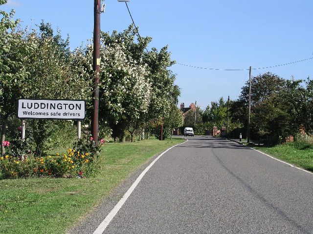
Luddington, Lincolnshire
Luddington is a village and former civil parish, now in the parish of Luddington with Haldenby, on the Isle of Axholme in the North Lincolnshire district...

Reedness Junction railway station
Reedness Junction railway station was a railway junction near Reedness, East Riding of Yorkshire, England on the Axholme Joint Railway. Immediately to...

Little Reedness
Little Reedness is a hamlet in the East Riding of Yorkshire, England. It is situated approximately 3.5 miles (6 km) east of the town of Goole and lies...

Fockerby railway station
Fockerby railway station was a station in Fockerby, Lincolnshire. It served as the terminus of a branch of the Axholme Joint Railway. It is now closed...

Swinefleet Warping Drain
Swinefleet Warping Drain is an artificial waterway in the English county of the East Riding of Yorkshire, which was built to allow silt to be deposited...
Nearby Amenities
Located within 500m of 53.655909,-0.79320334Have you been to Adlingfleet Moor?
Leave your review of Adlingfleet Moor below (or comments, questions and feedback).