Hazel End

Settlement in Essex Uttlesford

England

Hazel End

Old Milestone by the B1383, Stansted Road, Birchanger Carved stone post by the B1383 (was A11), in parish of Birchanger (Uttlesford District), 20m North of bus shelter, by the road, on East side of road. Erected by the Hockerill turnpike trust in the 19th century. An earlier photograph can be found here <a title="https://www.geograph.org.uk/photo/6096356" href="https://www.geograph.org.uk/photo/6096356">Link</a>.

Inscription reads:-
LONDON
30
CAMBRIDGE
24
NEWMARKET
29

Essex HER.
SMR Number: 15780 <span class="nowrap"><a title="https://www.heritagegateway.org.uk/Gateway/Results_Single.aspx?uid=MEX1032862&resourceID=1001" rel="nofollow ugc noopener" href="https://www.heritagegateway.org.uk/Gateway/Results_Single.aspx?uid=MEX1032862&resourceID=1001">Link</a><img style="margin-left:2px;" alt="External link" title="External link - shift click to open in new window" src="https://s1.geograph.org.uk/img/external.png" width="10" height="10"/></span>

Milestone Society National ID: EX_BSGC30
Old Milestone by the B1383, Stansted Road, Birchanger Credit: John V Nicholls

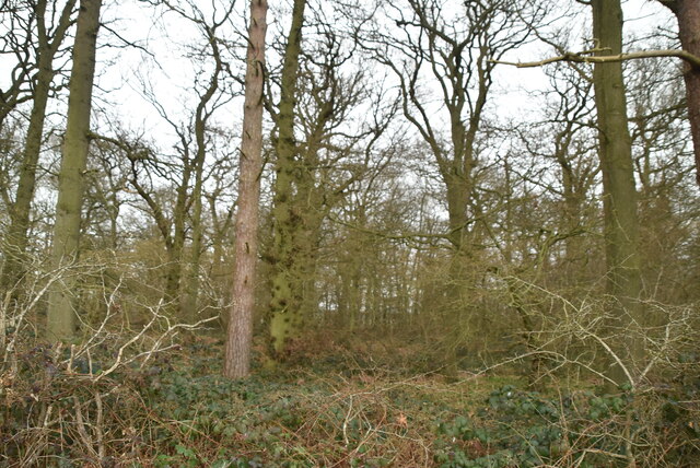
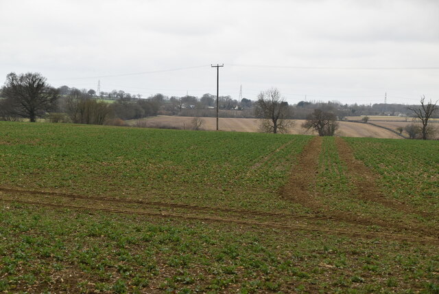
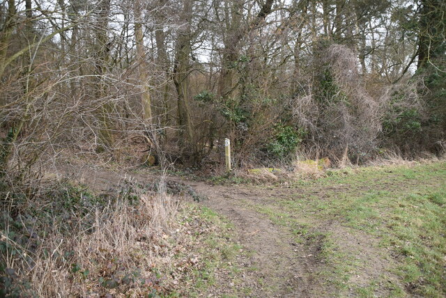
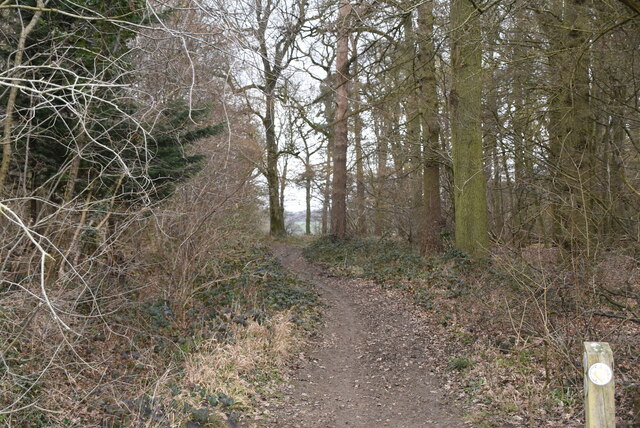
Hazel End is a small village located in the county of Essex, England. Situated in the Uttlesford district, it is nestled amidst the picturesque countryside, offering residents and visitors a tranquil and idyllic setting. The village is surrounded by lush green fields, rolling hills, and beautiful woodland areas, providing ample opportunities for outdoor activities and leisurely walks.

Despite its small size, Hazel End is home to a close-knit community, known for its warmth and friendliness. The village boasts a range of amenities, including a primary school, a village hall, and a local pub, serving as a hub for social gatherings and events. The well-preserved historic church, dating back to the 12th century, adds to the village's charm and serves as a reminder of its rich heritage.

The surrounding area offers a plethora of recreational opportunities. The nearby Hatfield Forest, a National Trust site, provides a haven for nature enthusiasts with its diverse flora and fauna. Additionally, the village is in close proximity to the market town of Bishop's Stortford, offering residents easy access to a wider range of amenities, including shops, restaurants, and leisure facilities.

Transport links in Hazel End are convenient, with regular bus services connecting the village to nearby towns and cities. The village is also well-connected by road, with easy access to the M11 motorway, making it an ideal location for those commuting to London or other parts of Essex.

In summary, Hazel End offers a peaceful and picturesque setting, a strong sense of community, and convenient access to amenities and transport links. It is a place where residents can enjoy the best of village life while still being within reach of larger towns and cities.

If you have any feedback on the listing, please let us know in the comments section below.
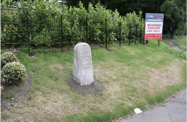
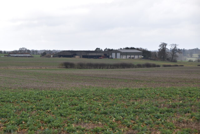
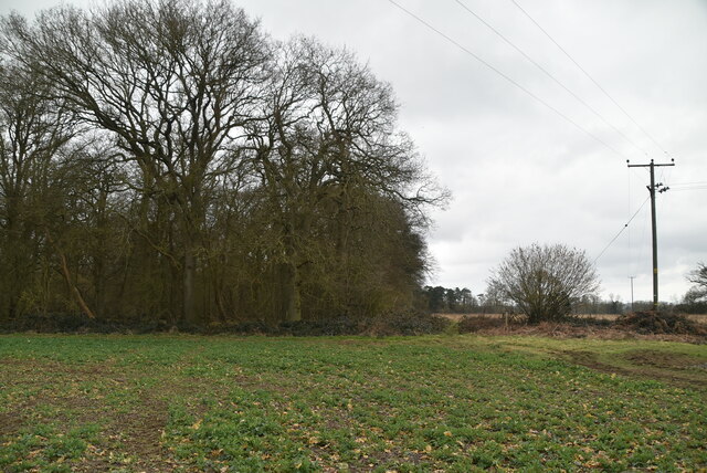
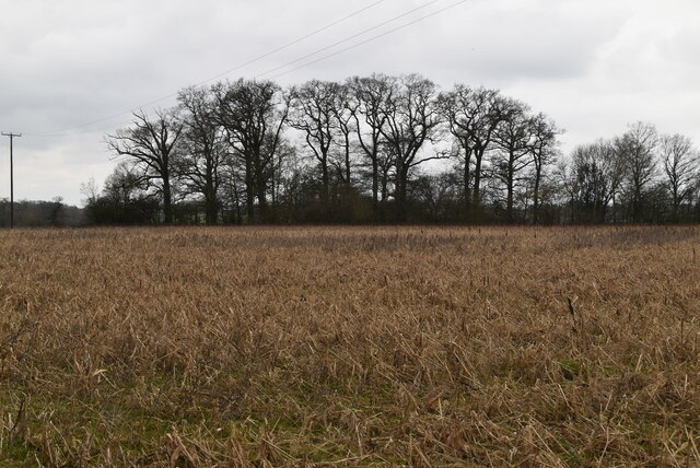
Hazel End Images

Images are sourced within 2km of 51.898976/0.170038 or Grid Reference TL4924. Thanks to Geograph Open Source API. All images are credited.

Old Milestone by the B1383, Stansted Road, Birchanger Carved stone post by the B1383 (was A11), in parish of Birchanger (Uttlesford District), 20m North of bus shelter, by the road, on East side of road. Erected by the Hockerill turnpike trust in the 19th century. An earlier photograph can be found here <a title="https://www.geograph.org.uk/photo/6096356" href="https://www.geograph.org.uk/photo/6096356">Link</a>.

Inscription reads:-
LONDON
30
CAMBRIDGE
24
NEWMARKET
29

Essex HER.
SMR Number: 15780 <span class="nowrap"><a title="https://www.heritagegateway.org.uk/Gateway/Results_Single.aspx?uid=MEX1032862&resourceID=1001" rel="nofollow ugc noopener" href="https://www.heritagegateway.org.uk/Gateway/Results_Single.aspx?uid=MEX1032862&resourceID=1001">Link</a><img style="margin-left:2px;" alt="External link" title="External link - shift click to open in new window" src="https://s1.geograph.org.uk/img/external.png" width="10" height="10"/></span>

Milestone Society National ID: EX_BSGC30
Old Milestone by the B1383, Stansted Road, Birchanger
Carved stone post by the B1383 (was A11), in parish of Birchanger (Uttlesford District), 20m North of bus shelter, by the road, on East side of road. Erected by the Hockerill turnpike trust in the 19th century. An earlier photograph can be found here Link. Inscription reads:- LONDON 30 CAMBRIDGE 24 NEWMARKET 29 Essex HER. SMR Number: 15780 LinkExternal link Milestone Society National ID: EX_BSGC30
Bentfield Bury Farm
Bentfield Bury Farm
Arable land
Arable land
House, Manuden
House, Manuden
Farmhouse
Farmhouse
Footpath
Footpath
Footpath
Footpath
Arable land
Arable land
Small woodland
Small woodland
Oozes Wood
Oozes Wood
Arable land
Arable land
Footpath by Oozes Wood
Oozes Wood
Oozes Wood
Farmland and woodland
Essex farmland
Essex farmland
Footpath junction
Footpath junction
Footpath between Oozes Wood and Home Wood
Show me another place!

Hazel End is located at Grid Ref: TL4924 (Lat: 51.898976, Lng: 0.170038)

Administrative County: Essex

District: Uttlesford

Police Authority: Essex

What 3 Words

///acclaim.dictation.elevator. Near Stansted Mountfitchet, Essex

Nearby Locations

Hazel End

Related Wikis

Bentfield Green

Bentfield Green is an area of common land and settlement in the village of Stansted Mountfitchet, in the civil parish of Stansted Mountfitchet, in the...

Bentfield Bury

Bentfield Bury is a small village in Essex, England. It is one of over 100 villages in the district of Uttlesford and is within Stansted Mountfitchet parish...

Stansted Mountfitchet Windmill

Stansted Mountfitchet Windmill is a grade II* listed Tower mill at Stansted Mountfitchet, Essex, England which is also a Scheduled Ancient Monument. It...

Stansted F.C.

Stansted Football Club is an English football club based in Stansted Mountfitchet, Essex. The club are currently members of the Spartan South Midlands...

Nearby Amenities

Located within 500m of 51.898976,0.170038
Hazel End
Place: hamlet
Lat/Long: 51.8984317/0.1709478
Post Box
CM23 1HG – Hazel End | Bishops Stortford
Collection Times: Mo-Fr 16:00; Sa 08:20
Post Box Type: wall
Ref: CM23 10
Royal Cypher: VR
Royal Cypher Wikidata: Q33102356
Lat/Long: 51.8980946/0.171758
Ford: yes
Lat/Long: 51.9029313/0.1701144
Information: guidepost
Tourism: information
Lat/Long: 51.9020952/0.1673832
Information: guidepost
Tourism: information
Lat/Long: 51.8981933/0.1718357
Barrier: lift_gate
Lat/Long: 51.8978796/0.1710431
Playground: slide
Playground Theme: playground
Lat/Long: 51.8971296/0.1731085
Defibrillator
Addr Postcode: CM23 1HB
Emergency: defibrillator
Lat/Long: 51.897521/0.1725144
Traffic Mirror
Direction: -160
Lat/Long: 51.8980503/0.1660973
Advertising: board
Direction: 125
Lat/Long: 51.8981468/0.1712362
Barrier: swing_gate
Lat/Long: 51.8961023/0.1745732
The data included in this document is from www.openstreetmap.org. The data is made available under ODbL.

Have you been to Hazel End?

Leave your review of Hazel End below (or comments, questions and feedback).