Acklam Wold

Downs, Moorland in Yorkshire Ryedale

England

Acklam Wold

Gatehowe Road approaching the summit Looking along the road from Howe Hill to Hanging Grimston.
Gatehowe Road approaching the summit Credit: DS Pugh

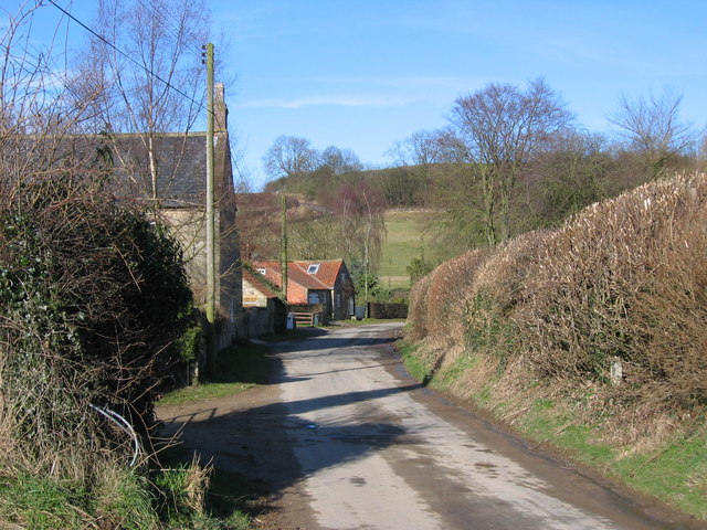
Acklam Wold is a picturesque region located in the county of Yorkshire, England. Situated on the edge of the North York Moors National Park, Acklam Wold is known for its stunning natural beauty and diverse landscapes.

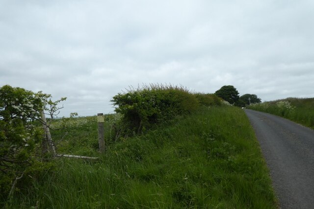
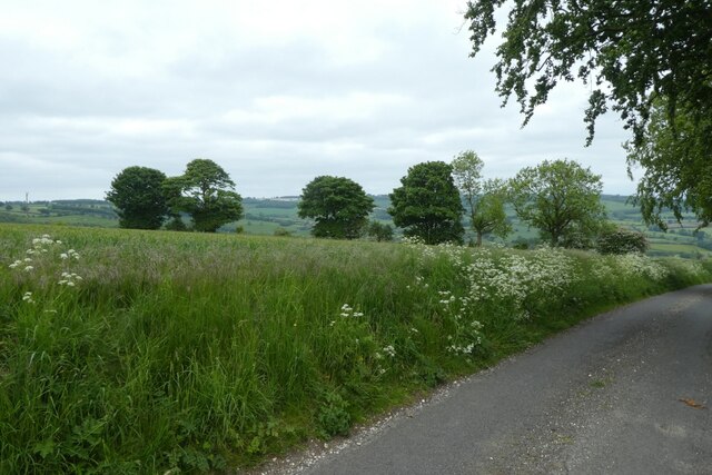
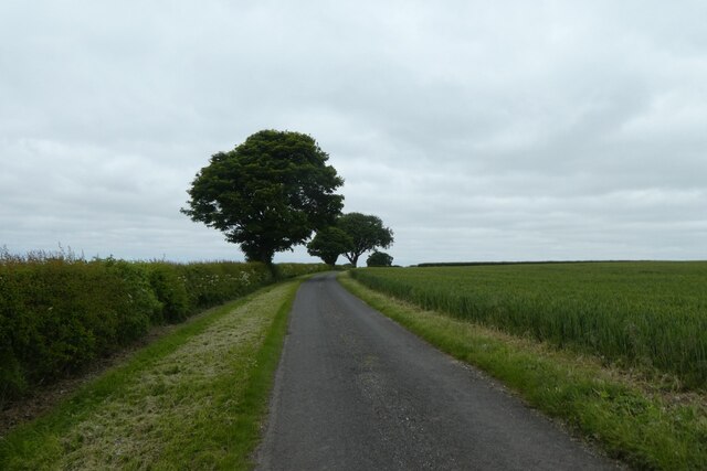
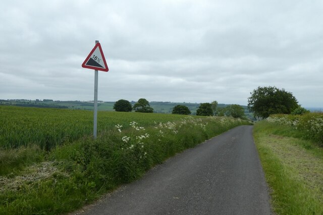
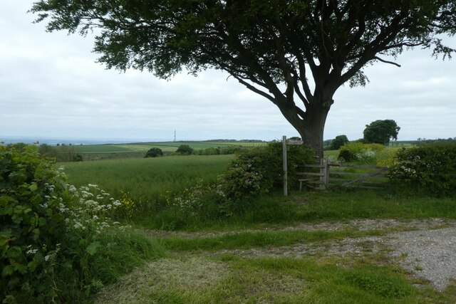
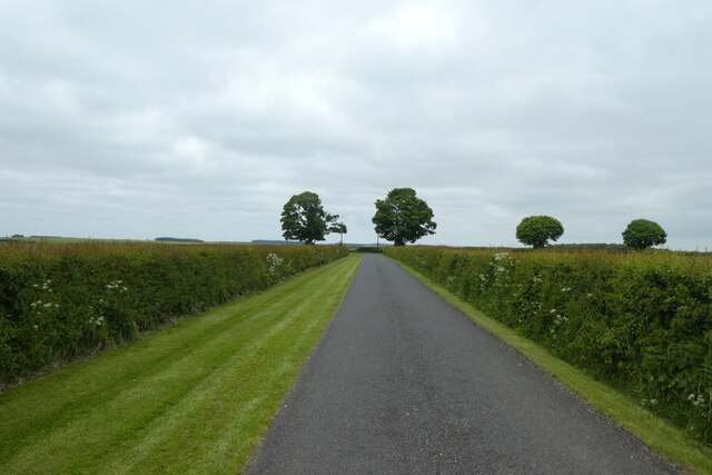
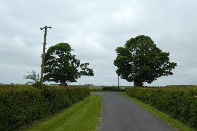
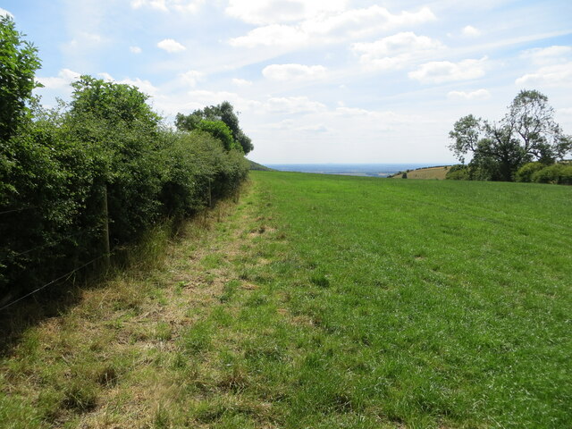
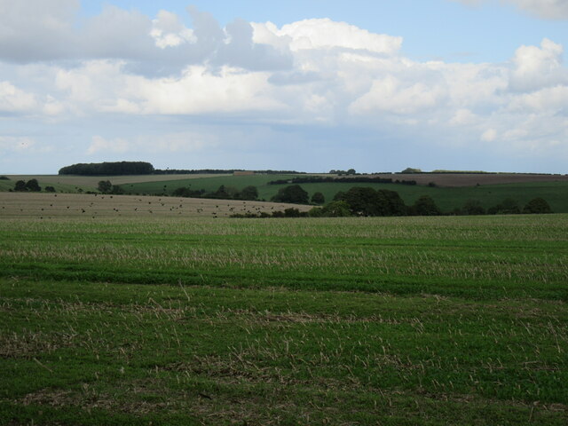
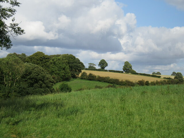
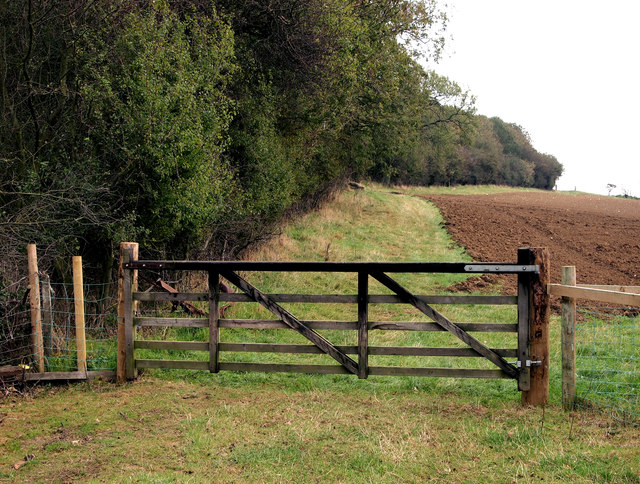
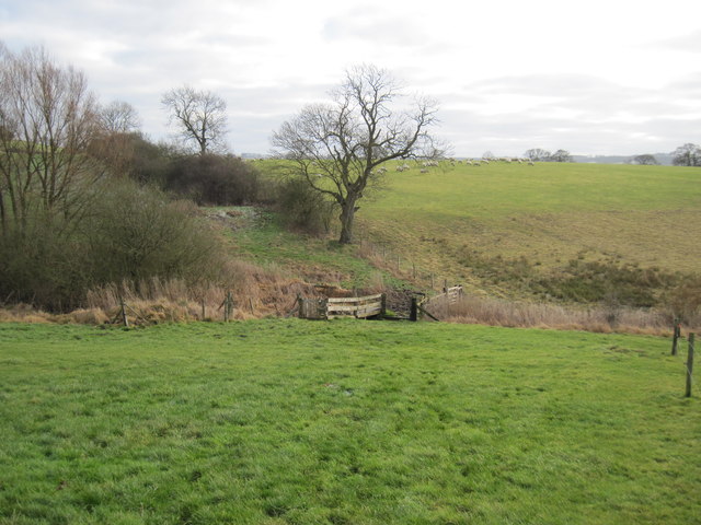
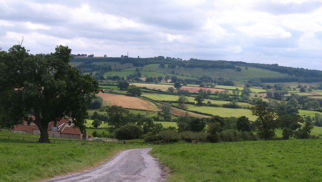
Covering an area of approximately 10 square miles, Acklam Wold is characterized by rolling hills, vast expanses of moorland, and fertile agricultural fields. The region's topography is a result of glacial activity during the last Ice Age, which carved out deep valleys and shaped the land into its current form.

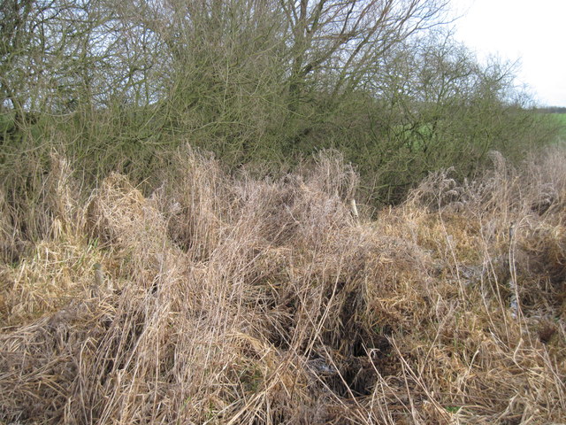
The area is home to a wide variety of flora and fauna, including heather, wildflowers, and numerous bird species. The North York Moors National Park, adjacent to Acklam Wold, provides a habitat for rare and endangered species such as red grouse, golden plover, and curlew. The moorland also boasts ancient archaeological sites, including prehistoric burial mounds and stone circles, which offer a glimpse into the region's rich history.

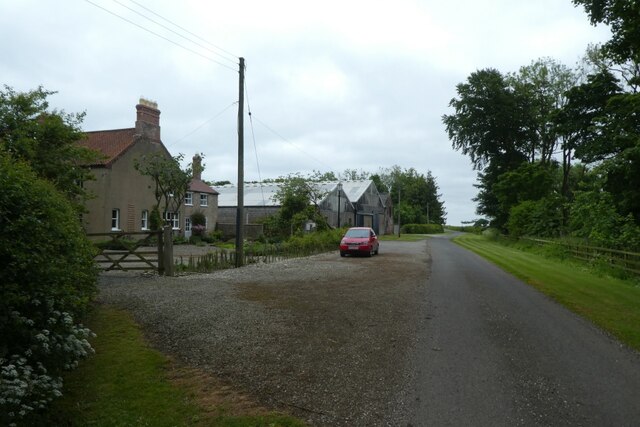
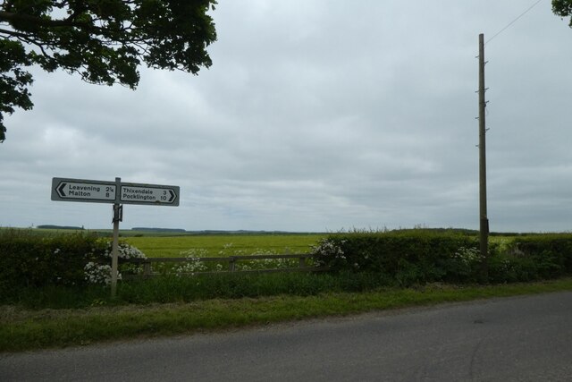
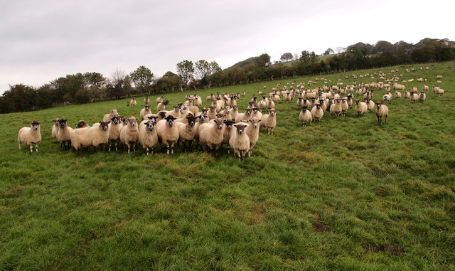
Acklam Wold has a long agricultural tradition, with farms dotting the landscape and sheep grazing on the moorland. The fertile soil supports the cultivation of crops such as wheat, barley, and oilseed rape, contributing to the region's rural economy.

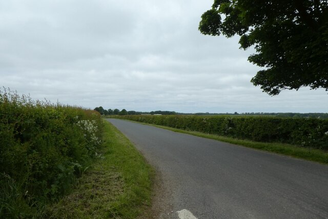
The area attracts visitors with its tranquil and idyllic countryside, offering opportunities for hiking, cycling, and wildlife observation. Additionally, the nearby town of Malton provides amenities and services for residents and tourists alike, including shops, restaurants, and accommodation options.

Overall, Acklam Wold in Yorkshire is a captivating destination that showcases the natural splendor and cultural heritage of the region.

If you have any feedback on the listing, please let us know in the comments section below.

Acklam Wold Images

Images are sourced within 2km of 54.045195/-0.79182061 or Grid Reference SE7961. Thanks to Geograph Open Source API. All images are credited.

Gatehowe Road approaching the summit Looking along the road from Howe Hill to Hanging Grimston.
Gatehowe Road approaching the summit
Looking along the road from Howe Hill to Hanging Grimston.
Fields beside Gatehowe Road Looking down the road from Hanging Grimston.
Fields beside Gatehowe Road
Looking down the road from Hanging Grimston.
Road near Hanging Grimston Looking along Gatehowe Road. A path heads towards Acklam from the corner.
Road near Hanging Grimston
Looking along Gatehowe Road. A path heads towards Acklam from the corner.
Descent sign on Gatehowe Road Looking down the road from Hanging Grimston to Howe Hill.
Descent sign on Gatehowe Road
Looking down the road from Hanging Grimston to Howe Hill.
Footpath from Gatehowe Road A footpath heads across to Acklam. The radio transmitter at Acklam Wold is visible on the left.
Footpath from Gatehowe Road
A footpath heads across to Acklam. The radio transmitter at Acklam Wold is visible on the left.
Wold Farm Looking along Gatehowe Road in Hanging Grimston.
Wold Farm
Looking along Gatehowe Road in Hanging Grimston.
Gatehowe Road at Hanging Grimston Looking towards the junction with the Roman Road.
Gatehowe Road at Hanging Grimston
Looking towards the junction with the Roman Road.
Junction of Gatehowe Road Looking along Gatehowe Road towards the Roman Road.
Junction of Gatehowe Road
Looking along Gatehowe Road towards the Roman Road.
Sign post and telegraph pole Looking across the junction with Gatehowe Road.
Sign post and telegraph pole
Looking across the junction with Gatehowe Road.
Roman road towards Acklam Looking along the road from the junction with Gatehowe Road.
Roman road towards Acklam
Looking along the road from the junction with Gatehowe Road.
Field edge footpath on Hanging Grimston Wold Looking south-westward.
Field edge footpath on Hanging Grimston Wold
Looking south-westward.
Hanging Grimston Wold Looking NE from the road.
Hanging Grimston Wold
Looking NE from the road.
Acklam Wold At the top of Brownmoor Dale.
Acklam Wold
At the top of Brownmoor Dale.
Brave Residents This huge flock of sheep came running over to see my dog and me... the leashed dog (a petite Alsatian cross) showed unusual and unbelievable restraint!
Brave Residents
This huge flock of sheep came running over to see my dog and me... the leashed dog (a petite Alsatian cross) showed unusual and unbelievable restraint!
New Woodland The wood is not shown on the latest 25,000 map although it looks to be well-esatblished.
New Woodland
The wood is not shown on the latest 25,000 map although it looks to be well-esatblished.
Gilder  Beck  and  Crossing  Point On the footpath from Sleights Lane
Gilder Beck and Crossing Point
On the footpath from Sleights Lane
A  very  overgrown  Beck Gilder Beck is in that undergrowth, a haven for wildlife.
A very overgrown Beck
Gilder Beck is in that undergrowth, a haven for wildlife.
Wolds edge scenery The narrow road running downhill past Mount Pleasant Farm affords a fine view over the rolling countryside on the western edge of the Wolds.
Wolds edge scenery
The narrow road running downhill past Mount Pleasant Farm affords a fine view over the rolling countryside on the western edge of the Wolds.
Show me another place!

Acklam Wold is located at Grid Ref: SE7961 (Lat: 54.045195, Lng: -0.79182061)

Division: East Riding

Administrative County: North Yorkshire

District: Ryedale

Police Authority: North Yorkshire

What 3 Words

///education.splinters.liberty. Near Kirby Underdale, East Yorkshire

Nearby Locations

Acklam Wold Deep Dale

Related Wikis

Minster FM

Minster FM was an Independent Local Radio station serving York and the surrounding areas such as Selby, Tadcaster, Thirsk, Northallerton and Goole. The...

Acklam, Ryedale

Acklam is a small village and civil parish in North Yorkshire, England. It is situated approximately 12 miles (20 km) north-east of York city centre and...

Leavening, North Yorkshire

Leavening is a village and civil parish in the Ryedale district of North Yorkshire, England. The village is situated approximately 13 miles (20 km) north...

Buckrose

Buckrose was a wapentake of the historic East Riding of Yorkshire, England consisting of the north-west part of the county; its territory is now partly...

Nearby Amenities

Located within 500m of 54.045195,-0.79182061
Acklam Wold
Man Made: tower
Operator: Arqiva
Ref: 57040/140033
Tower Type: communication
Lat/Long: 54.0469347/-0.7868263
Passing Place
Lat/Long: 54.0469931/-0.7893357
Passing Place
Lat/Long: 54.0465734/-0.7919879
Passing Place
Lat/Long: 54.0451229/-0.7986968
Barrier: stile
Step Count: 4
Stile: ladder
Lat/Long: 54.0467499/-0.7911301
Material: wood
Power: pole
Lat/Long: 54.0476482/-0.7855858
Material: wood
Power: pole
Transformer: distribution
Lat/Long: 54.0473286/-0.7860188
Line Management: termination
Material: wood
Power: pole
Transformer: distribution
Lat/Long: 54.0471795/-0.786213
The Private Hill
Access: customers
Addr Postcode: YO17 9RG
Addr Street: Thrussendale Road
Description: Glamping
Tourism: camp_site
Website: https://www.theprivatehill.co.uk
Lat/Long: 54.0475188/-0.794064
Thrussendale Farm
Place: farm
Lat/Long: 54.0463886/-0.7944283
Acklam Wold
Place: locality
Lat/Long: 54.0448035/-0.7908805
The data included in this document is from www.openstreetmap.org. The data is made available under ODbL.

Have you been to Acklam Wold?

Leave your review of Acklam Wold below (or comments, questions and feedback).