Cranmer Bottom
Downs, Moorland in Hampshire East Hampshire
England
Cranmer Bottom
Cranmer Bottom is a picturesque area located in Hampshire, England. Situated amidst the beautiful Downs and Moorland landscapes, it offers a serene and idyllic retreat for nature enthusiasts and outdoor adventurers alike.
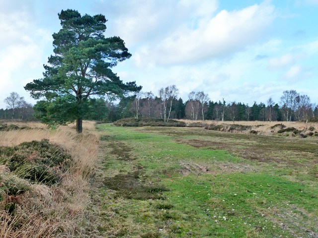
The area is characterized by its rolling hills, vast meadows, and enchanting woodlands. Cranmer Bottom boasts an abundance of flora and fauna, making it a haven for wildlife enthusiasts and birdwatchers. The diverse ecosystem supports a wide variety of species, including rare birds such as peregrine falcons, kestrels, and skylarks.
The rich history of Cranmer Bottom is evident in its landmarks and archaeological sites. The remains of ancient settlements and burial mounds can be found scattered throughout the area, providing a glimpse into the region's past.
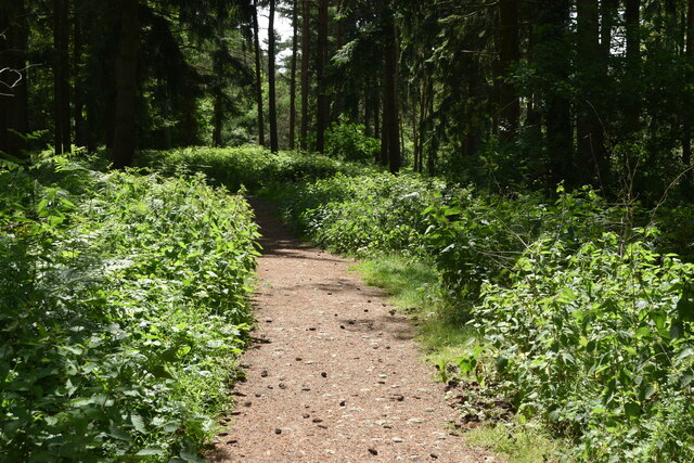
Outdoor activities are plentiful in Cranmer Bottom, with numerous walking and hiking trails crisscrossing the landscape. Exploring the area on foot allows visitors to fully immerse themselves in the natural beauty of the Downs and Moorland, with panoramic views at every turn.
Cranmer Bottom also offers opportunities for camping and picnicking, allowing visitors to make the most of their time in this tranquil setting. The peaceful atmosphere and stunning scenery make it an ideal spot for relaxation and rejuvenation.
In conclusion, Cranmer Bottom in Hampshire is a captivating destination that combines natural beauty, historical significance, and outdoor adventure. Whether you are seeking a peaceful retreat, wildlife spotting, or an active exploration of the countryside, Cranmer Bottom has something to offer everyone.
If you have any feedback on the listing, please let us know in the comments section below.
Cranmer Bottom Images
Images are sourced within 2km of 51.088973/-0.87133658 or Grid Reference SU7932. Thanks to Geograph Open Source API. All images are credited.


Cranmer Bottom is located at Grid Ref: SU7932 (Lat: 51.088973, Lng: -0.87133658)
Administrative County: Hampshire
District: East Hampshire
Police Authority: Hampshire
What 3 Words
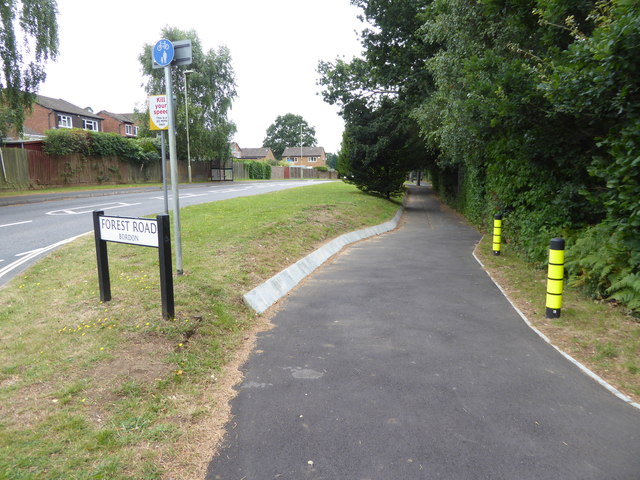
///outfitter.subsystem.flames. Near Bordon, Hampshire
Nearby Locations
Related Wikis

Woolmer railway station
Woolmer railway station is a former railway station, on the Longmoor Military Railway which served the hamlet of Woolmer. The station was probably situated...
Woolmer
Woolmer is a place in Hampshire, England. Woolmer is situated between Liphook and Bordon. The surrounding Woolmer Forest, a Royal forest, is both a Special...
Whitehill Junction railway station
Whitehill Junction railway station is a former railway station, on the Longmoor Military Railway, which was closed along with the rest of the line in 1969...
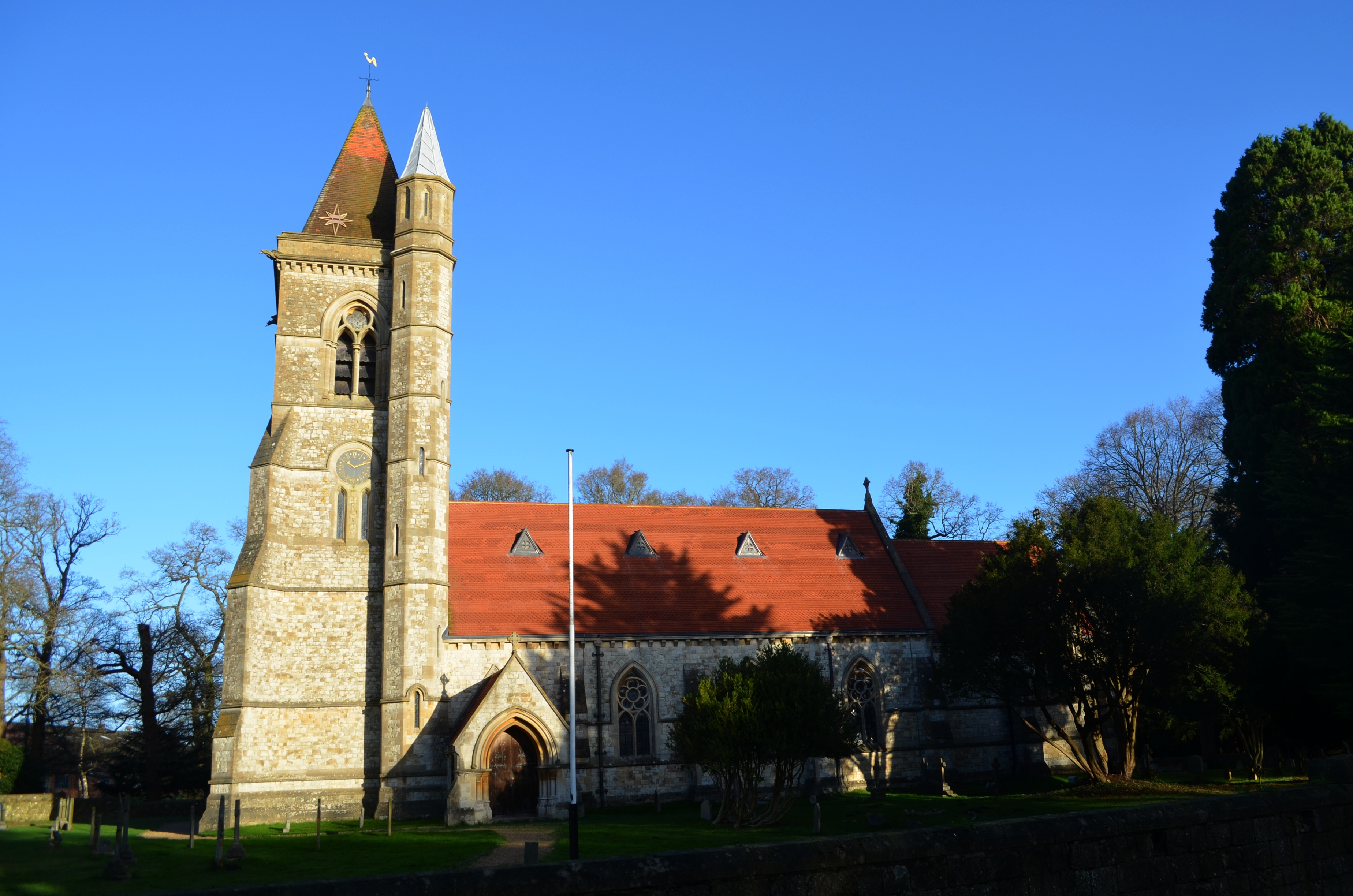
St Matthew's Church, Blackmoor
St Matthew's Church is an Anglican parish church in the village of Blackmoor, Hampshire, England. It is a Grade II* listed building. The church was designed...
Blackmoor, Hampshire
Blackmoor is a village in the East Hampshire district of Hampshire, England. It lies about 1.5 miles (2.5 km) southwest of Bordon, just west of the A325...
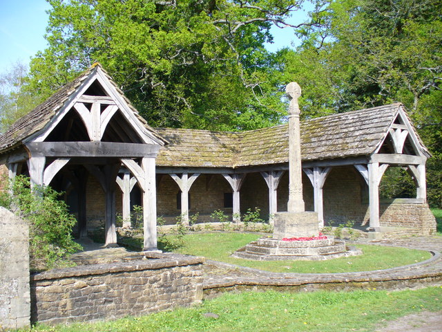
Blackmoor War Memorial
Blackmoor War Memorial is a First World War memorial cloister in Blackmoor, near Liss, in Hampshire. The memorial stands on the north side of the main...
Whitehill, Hampshire
Whitehill is a village and civil parish in the East Hampshire district of Hampshire, England, on the historic highway (now the A325) between Petersfield...

Woolmer Forest
Woolmer Forest is a 1,298.5-hectare (3,209-acre) biological Site of Special Scientific Interest south of Bordon in Hampshire and West Sussex. It is also...
Nearby Amenities
Located within 500m of 51.088973,-0.87133658Have you been to Cranmer Bottom?
Leave your review of Cranmer Bottom below (or comments, questions and feedback).