West Heath Common

Downs, Moorland in Sussex Chichester

England

West Heath Common

Rogate pumpkin patch
Rogate pumpkin patch Credit: Liam mansfield

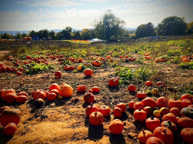
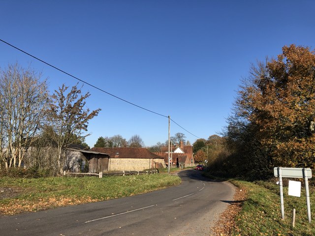
West Heath Common is a picturesque moorland located in Sussex, England. Situated within the sprawling South Downs National Park, it spans an area of approximately 200 acres and is renowned for its stunning natural beauty and diverse wildlife.

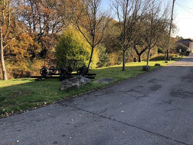
The common is characterized by its rolling hills, open grassland, and heather-covered moorland, creating a unique and tranquil atmosphere. It offers breathtaking panoramic views of the surrounding countryside, providing a perfect spot for nature enthusiasts and photographers alike.

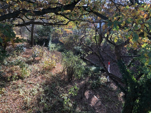
The common is home to a wide range of plant and animal species, making it an important ecological site. Visitors can spot a variety of birds, including skylarks, stonechats, and kestrels, while lucky observers may even catch a glimpse of the elusive nightjar during the summer months. The moorland is also dotted with scattered trees and shrubs, such as gorse and hawthorn, adding to its scenic charm.

Accessible by foot, West Heath Common offers several walking trails, allowing visitors to explore its diverse landscapes and enjoy peaceful strolls. The paths wind through the heath, revealing hidden ponds and streams, and occasionally leading to ancient burial mounds that date back thousands of years.

Overall, West Heath Common is a captivating destination for nature lovers, offering a tranquil escape from the hustle and bustle of everyday life. With its stunning vistas, rich wildlife, and peaceful ambience, it truly showcases the natural beauty of the Sussex Downs and is a must-visit for anyone seeking a genuine connection with the great outdoors.

If you have any feedback on the listing, please let us know in the comments section below.

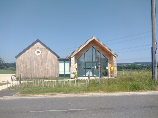
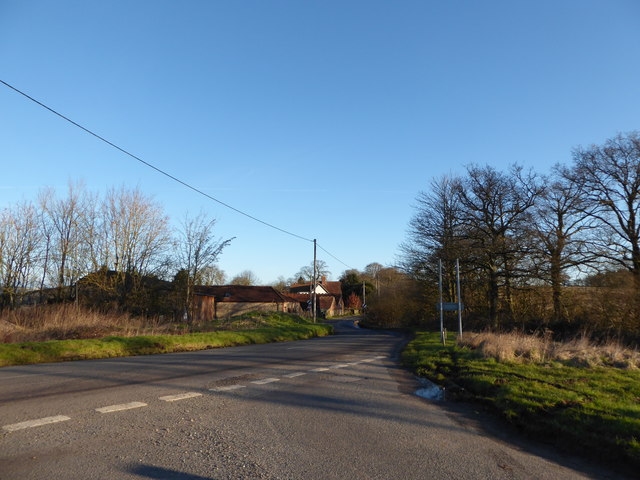
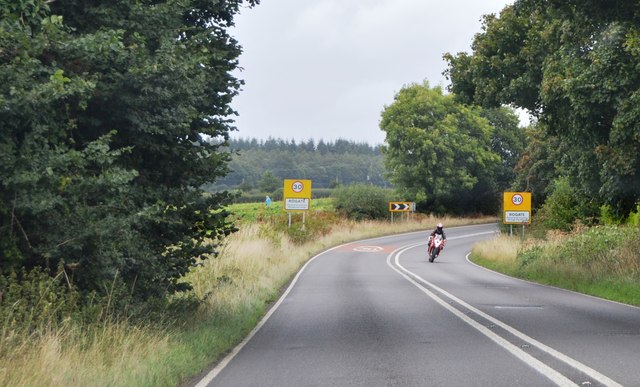
West Heath Common Images

Images are sourced within 2km of 50.998791/-0.87829966 or Grid Reference SU7822. Thanks to Geograph Open Source API. All images are credited.

Rogate pumpkin patch
The new Henry Warren Memorial Hall This hall was opened on the edge of Nyewood in December 2022 replacing the original hall in the centre of the village which had fallen into disrepair.


<a href="https://www.geograph.org.uk/photo/8592">SU8021 : "Henry Warren" Village Hall, Nyewood.</a>
<a href="https://www.geograph.org.uk/photo/6486651">SU8021 : The Henry Warren Hall, now derelict</a>
The new Henry Warren Memorial Hall
This hall was opened on the edge of Nyewood in December 2022 replacing the original hall in the centre of the village which had fallen into disrepair. SU8021 : "Henry Warren" Village Hall, Nyewood. SU8021 : The Henry Warren Hall, now derelict
2016: a year on Geography (Day 63) Road junction near Nyweood
2016: a year on Geography (Day 63)
Road junction near Nyweood
Entering Rogate, A272 The A272 is a very rural A road, which follows an east to west route from near Heathfield to Winchester, passing through the Sussex countryside. It runs 86 miles from Sutton Scotney to Five Ashes <a href="https://www.geograph.org.uk/photo/6669405">TQ5523 : A267, A272 junction</a>.
<span class="nowrap"><a title="http://www.sabre-roads.org.uk/wiki/index.php?title=A272" rel="nofollow ugc noopener" href="http://www.sabre-roads.org.uk/wiki/index.php?title=A272">Link</a><img style="margin-left:2px;" alt="External link" title="External link - shift click to open in new window" src="https://s1.geograph.org.uk/img/external.png" width="10" height="10"/></span> 
Wikipedia: <span class="nowrap"><a title="http://en.wikipedia.org/wiki/A272_road" rel="nofollow ugc noopener" href="http://en.wikipedia.org/wiki/A272_road">Link</a><img style="margin-left:2px;" alt="External link" title="External link - shift click to open in new window" src="https://s1.geograph.org.uk/img/external.png" width="10" height="10"/></span>
Entering Rogate, A272
The A272 is a very rural A road, which follows an east to west route from near Heathfield to Winchester, passing through the Sussex countryside. It runs 86 miles from Sutton Scotney to Five Ashes TQ5523 : A267, A272 junction. LinkExternal link Wikipedia: LinkExternal link
Field by the A272, Rogate
Sandilands near Nyewood Viewed from the road junction with Dumpford Lane.
Sandilands near Nyewood
Viewed from the road junction with Dumpford Lane.
Old railway line Looking down over the former Petersfield to Midhurst railway line viewed from the railway bridge in Nyewood.
Old railway line
Looking down over the former Petersfield to Midhurst railway line viewed from the railway bridge in Nyewood.
Site of former railway station The site of the former Rogate railway station on the old Petersfield to Midhurst line.
Site of former railway station
The site of the former Rogate railway station on the old Petersfield to Midhurst line.
Footpath between houses The public footpath leaves Nyewood heading towards Elsted.
Footpath between houses
The public footpath leaves Nyewood heading towards Elsted.
The Henry Warren Hall, now derelict The village hall has been condemned and the village is raising funds to replace it, the "thermometer" shows that £159,000 of £197,000 has been raised so far.

A new hall was opened in December 2022 : <a href="https://www.geograph.org.uk/photo/7512362">SU8021 : The new Henry Warren Memorial Hall</a>
The Henry Warren Hall, now derelict
The village hall has been condemned and the village is raising funds to replace it, the "thermometer" shows that £159,000 of £197,000 has been raised so far. A new hall was opened in December 2022 : SU8021 : The new Henry Warren Memorial Hall
Ripening wheat Wheat is a grass grown as a cereal crop. It originates in the Middle East but is now grown worldwide. After rice it is the second most globally cultivated crop.
Wikipedia: <span class="nowrap"><a title="http://en.wikipedia.org/wiki/Wheat" rel="nofollow ugc noopener" href="http://en.wikipedia.org/wiki/Wheat">Link</a><img style="margin-left:2px;" alt="External link" title="External link - shift click to open in new window" src="https://s1.geograph.org.uk/img/external.png" width="10" height="10"/></span>
Ripening wheat
Wheat is a grass grown as a cereal crop. It originates in the Middle East but is now grown worldwide. After rice it is the second most globally cultivated crop. Wikipedia: LinkExternal link
Footpath signpost near Putmans
Footpath to Putmans
Footpath to Putmans
Lane to Quebec
Lane to Quebec
House, Quebec
House, Quebec
Road sign, Quebec
Road sign, Quebec
Old Manor House Grade II listed. <span class="nowrap"><a title="http://www.britishlistedbuildings.co.uk/en-454428-old-manor-house-harting" rel="nofollow ugc noopener" href="http://www.britishlistedbuildings.co.uk/en-454428-old-manor-house-harting">Link</a><img style="margin-left:2px;" alt="External link" title="External link - shift click to open in new window" src="https://s1.geograph.org.uk/img/external.png" width="10" height="10"/></span>
Old Manor House
Grade II listed. LinkExternal link
Collins Lane
Collins Lane
Show me another place!

West Heath Common is located at Grid Ref: SU7822 (Lat: 50.998791, Lng: -0.87829966)

Administrative County: West Sussex

District: Chichester

Police Authority: Sussex

What 3 Words

///colonies.signs.energetic. Near South Harting, West Sussex

Related Wikis

Dureford Abbey

Dureford Abbey, in Sussex, England, was a Premonstratensian monastery. It was founded by Henry Hussey who in 1161 granted land to the abbot of Welbeck...

West Harting

West Harting is a hamlet in the Chichester district of West Sussex, England. At the 2011 Census the population of the hamlet was included in the civil...

Nyewood

Nyewood is a hamlet in the Chichester district of West Sussex, England situated in the Western Rother valley. The village is on an unclassified road between...

Rogate railway station

Rogate railway station, also known variously as Rogate for Harting, and Rogate and Harting, supposedly served these two villages in the county of West...

Rogate

Rogate is a village and civil parish in the Chichester district of West Sussex, England, in the Western Rother valley. The village is on the A272 road...

Garbett's Wood

Garbett's Wood is a woodland in West Sussex, England, in Rogate. It covers a total area of 2.47 hectares (6.10 acres). It is owned and managed by the Woodland...

East Hampshire

East Hampshire is a local government district in Hampshire, England. Its council is based in the town of Petersfield, although the largest town is Alton...

Rotherlands

Rotherlands is a 7.6-hectare (19-acre) Local Nature Reserve in Petersfield in Hampshire. It is owned by Petersfield Town Council and managed by Rotherlands...

Nearby Amenities

Located within 500m of 50.998791,-0.87829966
Barrier: stile
Lat/Long: 51.0005356/-0.876672
Barrier: stile
Lat/Long: 50.9946003/-0.8805343
Down Park Farm
Landuse: farm
Note Retag: CS #48756035
Lat/Long: 50.9947/-0.877696
Barrier: stile
Lat/Long: 50.9990081/-0.8772993
Barrier: stile
Lat/Long: 50.9951967/-0.8796151
Barrier: stile
Lat/Long: 50.9965501/-0.8785342
The data included in this document is from www.openstreetmap.org. The data is made available under ODbL.

Have you been to West Heath Common?

Leave your review of West Heath Common below (or comments, questions and feedback).