Sheffield Moor
Downs, Moorland in Yorkshire Scarborough
England
Sheffield Moor
Sheffield Moor, located in Yorkshire, England, is a picturesque area known for its stunning downs and moorland landscapes. Covering a vast expanse, it offers visitors and locals alike a unique experience of the region's natural beauty.
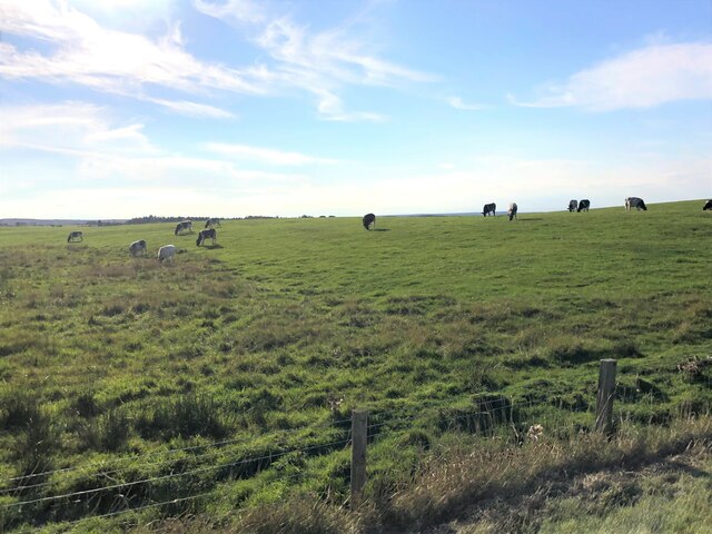
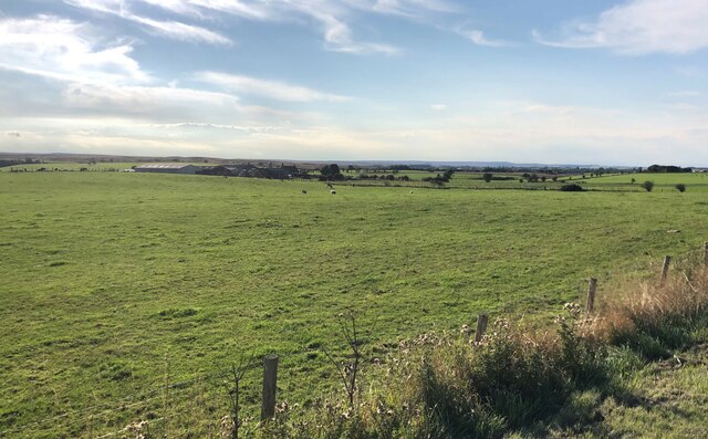
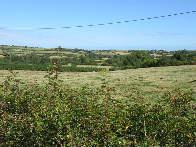
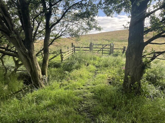
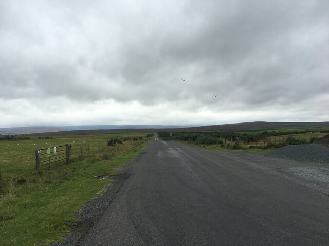
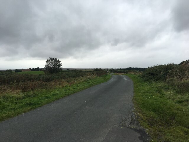
The moorland of Sheffield Moor is characterized by its rolling hills, heather-covered expanses, and scattered rocky outcrops. This rugged terrain provides a haven for a diverse range of plant and animal species, making it a popular destination for nature enthusiasts and hikers. The moorland is home to various species of birds, including the red grouse, curlew, and golden plover, adding to the area's charm and appeal.
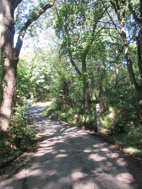
In addition to its natural wonders, Sheffield Moor also boasts several walking trails and paths that allow visitors to explore the area at their own pace. These trails cater to all levels of fitness, offering options for both casual walkers and more experienced hikers. Along the way, visitors can take in breathtaking panoramic views of the surrounding countryside, dotted with quaint villages and historic landmarks.
The downs of Sheffield Moor provide yet another dimension to its beauty. With their gently rolling hills and lush greenery, they offer a stark contrast to the rugged moorland. These downs are perfect for leisurely strolls, picnics, and enjoying the peaceful ambiance of the countryside.
Overall, Sheffield Moor is a must-visit destination for nature lovers and those seeking a tranquil escape from the hustle and bustle of city life. Its stunning moorland and downs provide a breathtaking backdrop for outdoor activities, while its rich biodiversity and captivating landscapes make it a haven for wildlife enthusiasts.
If you have any feedback on the listing, please let us know in the comments section below.
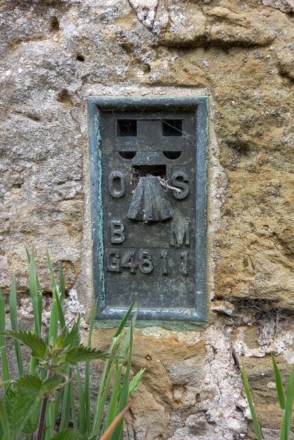
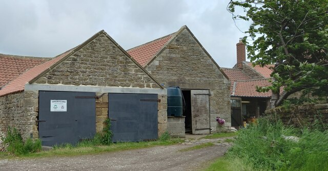
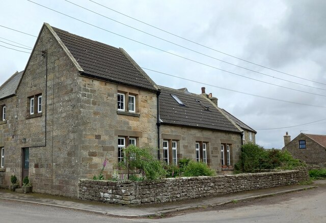
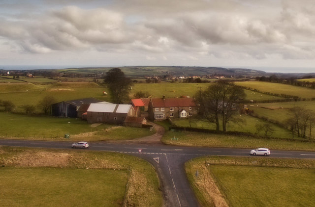
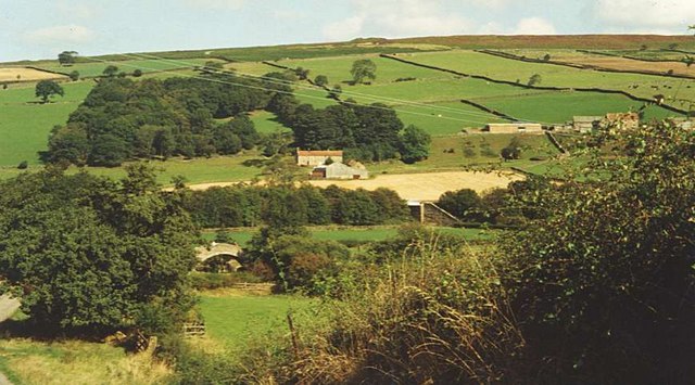
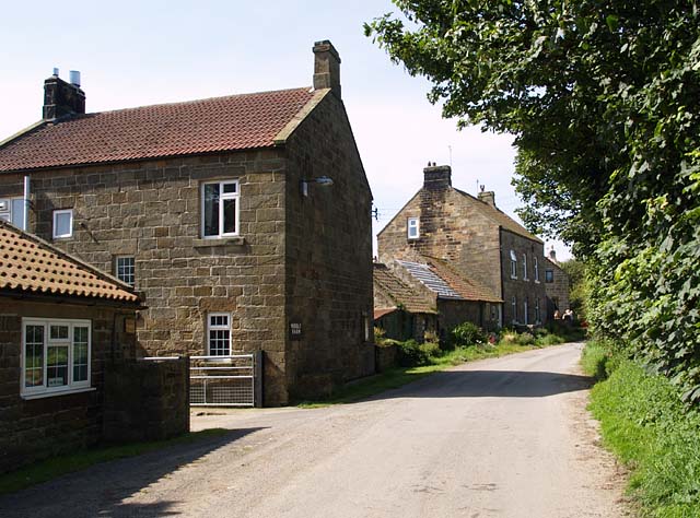
Sheffield Moor Images
Images are sourced within 2km of 54.497899/-0.79115443 or Grid Reference NZ7812. Thanks to Geograph Open Source API. All images are credited.


Sheffield Moor is located at Grid Ref: NZ7812 (Lat: 54.497899, Lng: -0.79115443)
Division: North Riding
Administrative County: North Yorkshire
District: Scarborough
Police Authority: North Yorkshire
What 3 Words
///empty.slipping.lamplight. Near Danby, North Yorkshire
Nearby Locations
Related Wikis

Ugthorpe
Ugthorpe is a village and civil parish in the Scarborough borough, situated near Whitby, North Yorkshire, England. According to the 2011 UK census, Ugthorpe...

Mickleby
Mickleby is a village and civil parish in the Scarborough district of North Yorkshire, England. According to the 2011 UK census, Mickleby parish had a...
Eskdale, North Yorkshire
Eskdale is a valley running west to east from Westerdale on the North York Moors to Whitby on the Yorkshire Coast of England. Formed during the last major...

Ellerby, North Yorkshire
Ellerby is a village and civil parish in the Scarborough district of North Yorkshire, England, located within the North York Moors National Park. According...

A171 road
The A171 is a road in England that links the North Yorkshire towns of Middlesbrough, Guisborough, Whitby, Robin Hood's Bay and Scarborough. Locally it...

Newton Mulgrave
Newton Mulgrave is a village and civil parish in the Scarborough district of North Yorkshire, England. The population of the civil parish was estimated...

Barnby, North Yorkshire
Barnby is a civil parish in the Scarborough district of North Yorkshire, England. According to the 2001 UK census, the parish had a population of 79....
Borrowby, east North Yorkshire
Borrowby is a village and civil parish in the North Yorkshire district of North Yorkshire, England. The village is situated in the North York Moors National...
Nearby Amenities
Located within 500m of 54.497899,-0.79115443Have you been to Sheffield Moor?
Leave your review of Sheffield Moor below (or comments, questions and feedback).