Rainsbutt Moor

Downs, Moorland in Yorkshire

England

Rainsbutt Moor

Rainsbutt Road near Crowle
Rainsbutt Road near Crowle Credit: Neil Theasby

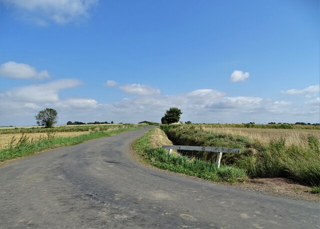
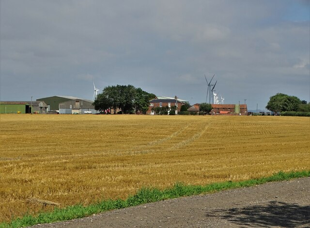
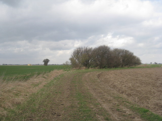
Rainsbutt Moor is a picturesque expanse of moorland located in the county of Yorkshire, England. Situated in the heart of the Yorkshire Downs, this vast area stretches for approximately 10 square miles, captivating visitors with its rugged beauty and diverse ecosystem.

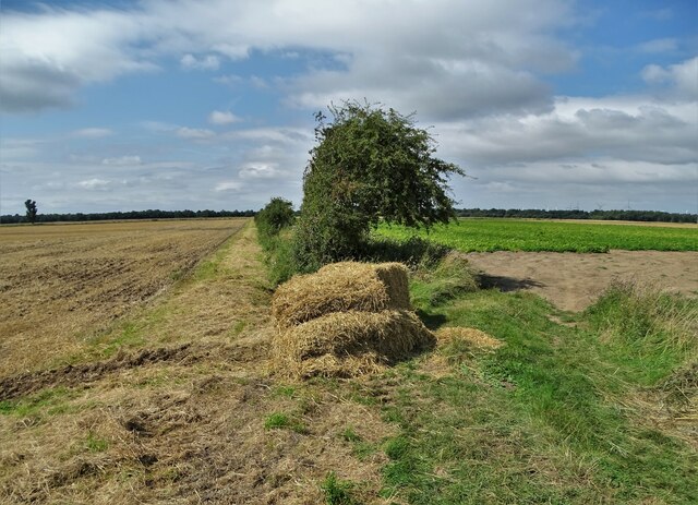
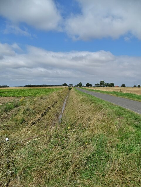
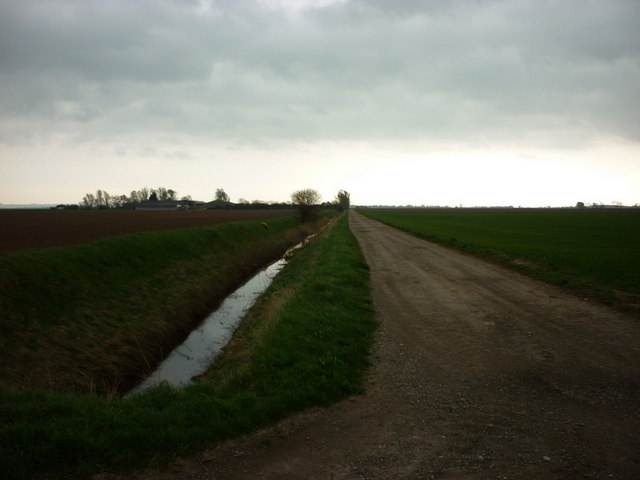
The moorland of Rainsbutt Moor is characterized by its rolling hills, heather-covered slopes, and scattered areas of marshland. The landscape is juxtaposed with ancient stone walls, adding a touch of historical charm. These walls serve as a testament to the area's long-standing agricultural practices, as the moor has traditionally been used for sheep farming and grazing.

Nature enthusiasts flock to Rainsbutt Moor to witness its unique flora and fauna. Heather dominates the landscape, painting the moorland with vibrant hues of purple during the blooming season. Other plant species such as bilberry and cotton grass thrive in the damp areas, adding further diversity to the vegetation.

The moorland also provides a haven for a variety of bird species, making it a popular destination for birdwatchers. Visitors can spot common species such as curlews, lapwings, and red grouse, as well as rarer breeds like merlins and short-eared owls.

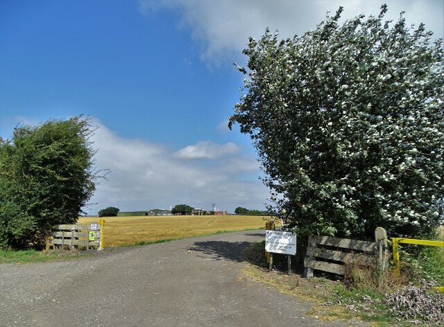
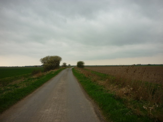
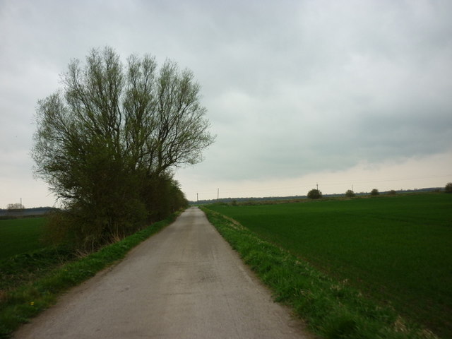
Rainsbutt Moor offers a tranquil escape from the bustling city life, attracting hikers and walkers who wish to explore its vast trails. The moorland is crisscrossed with footpaths, allowing visitors to fully immerse themselves in the stunning landscapes and discover hidden gems such as ancient burial mounds and standing stones.

Overall, Rainsbutt Moor in Yorkshire is a captivating natural landscape that showcases the region's beauty and biodiversity. Whether it be for leisurely walks, birdwatching, or simply enjoying the serenity of the moor, this enchanting destination offers a unique experience for all who visit.

If you have any feedback on the listing, please let us know in the comments section below.

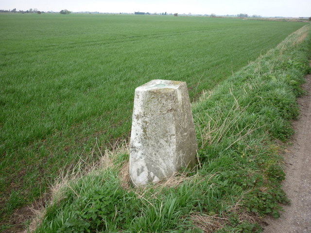
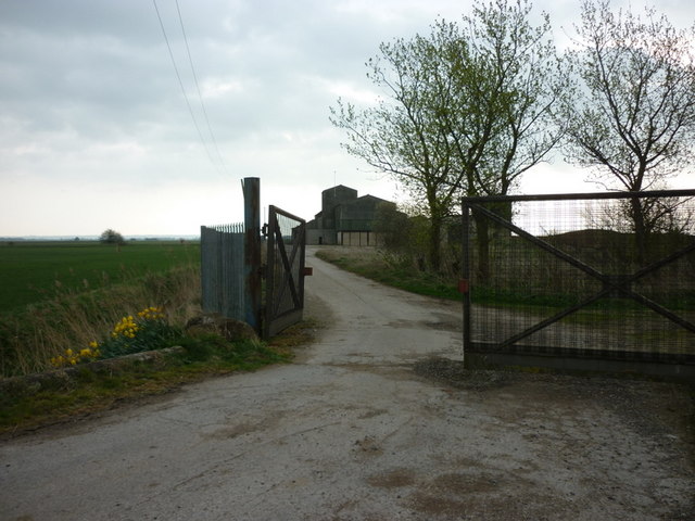
Rainsbutt Moor Images

Images are sourced within 2km of 53.635902/-0.83984349 or Grid Reference SE7616. Thanks to Geograph Open Source API. All images are credited.

Rainsbutt Road near Crowle
West of Rainsbutt Road
By Rainsbutt Road looking north Ahead you can see Rainsbutt chicken farm
By Rainsbutt Road looking north
Ahead you can see Rainsbutt chicken farm
Entrance to Rainsbutt Farm
Rainsbutt Farm Seen from the farm entrance
Rainsbutt Farm
Seen from the farm entrance
Northmoor Road north of Crowle
Water pumping station From Blackwater Dike into Swinefleet Warping Drain

On Thorne Waste or Moors
Water pumping station
From Blackwater Dike into Swinefleet Warping Drain On Thorne Waste or Moors
Track alongside Swinefleet Warping Drain Swinefleet and Reedness Waste or Moors
Track alongside Swinefleet Warping Drain
Swinefleet and Reedness Waste or Moors
Dam on Crowle Waste or Moors
A handful of bushes This is a bleak open landscape and the occasional tree or bush is all there is to give any sense of the vertical. Seen from the network of permissive paths established at Eastoft 
<span class="nowrap"><a title="http://cwr.naturalengland.org.uk/Default.aspx?Module=CountryWalkDetails&Site=4155" rel="nofollow ugc noopener" href="http://cwr.naturalengland.org.uk/Default.aspx?Module=CountryWalkDetails&Site=4155">Link</a><img style="margin-left:2px;" alt="External link" title="External link - shift click to open in new window" src="https://s1.geograph.org.uk/img/external.png" width="10" height="10"/></span>
A handful of bushes
This is a bleak open landscape and the occasional tree or bush is all there is to give any sense of the vertical. Seen from the network of permissive paths established at Eastoft LinkExternal link
A few more bushes Seen from the network of permissive paths established at Eastoft 
<span class="nowrap"><a title="http://cwr.naturalengland.org.uk/Default.aspx?Module=CountryWalkDetails&Site=4155" rel="nofollow ugc noopener" href="http://cwr.naturalengland.org.uk/Default.aspx?Module=CountryWalkDetails&Site=4155">Link</a><img style="margin-left:2px;" alt="External link" title="External link - shift click to open in new window" src="https://s1.geograph.org.uk/img/external.png" width="10" height="10"/></span>
A few more bushes
Seen from the network of permissive paths established at Eastoft LinkExternal link
View towards Moors Farm The few trees around Moors Farm bring a slight vertical element to this very horizontal landscape.
View towards Moors Farm
The few trees around Moors Farm bring a slight vertical element to this very horizontal landscape.
Reading Gate towards the peat works
A farm road towards Moors Farm
Reading Gate towards the peat works
Trig #S5161 on Reading Gate
The entrance to the former Fison's Peat Works On Reading Gate (road)
The entrance to the former Fison's Peat Works
On Reading Gate (road)
New farm buildings to the north of Crowle
Show me another place!

Rainsbutt Moor is located at Grid Ref: SE7616 (Lat: 53.635902, Lng: -0.83984349)

Division: West Riding

Unitary Authority: North Lincolnshire

Police Authority: Humberside

What 3 Words

///inversely.pass.lace. Near Crowle, Lincolnshire

Related Wikis

Swinefleet Warping Drain

Swinefleet Warping Drain is an artificial waterway in the English county of the East Riding of Yorkshire, which was built to allow silt to be deposited...

Reedness Junction railway station

Reedness Junction railway station was a railway junction near Reedness, East Riding of Yorkshire, England on the Axholme Joint Railway. Immediately to...

Crowle Peatland Railway

Crowle Peatland Railway is a fledgling railway museum based on the peat moors at Crowle in North Lincolnshire, England. == History == === Background... ===

Crowle North railway station

Crowle North railway station, officially known as Crowle railway station, was a station that served the market town of Crowle, on the Isle of Axholme in...

Nearby Amenities

Located within 500m of 53.635902,-0.83984349
Power: pole
Lat/Long: 53.6332478/-0.8367073
Power: pole
Lat/Long: 53.6347573/-0.8377589
Power: pole
Lat/Long: 53.6368856/-0.8392375
Power: pole
Lat/Long: 53.6383858/-0.8403163
Power: pole
Lat/Long: 53.6399641/-0.8414378
Rainsbutt Moor
Place: locality
Source: Bing
Lat/Long: 53.6342317/-0.8412138
The data included in this document is from www.openstreetmap.org. The data is made available under ODbL.

Have you been to Rainsbutt Moor?

Leave your review of Rainsbutt Moor below (or comments, questions and feedback).