Great Park
Downs, Moorland in Hampshire Hart
England
Great Park
Great Park, Hampshire is a sprawling natural reserve located in the southern part of England. Covering an expansive area that encompasses both downs and moorland, Great Park is a haven for nature enthusiasts, offering a diverse range of habitats and wildlife.
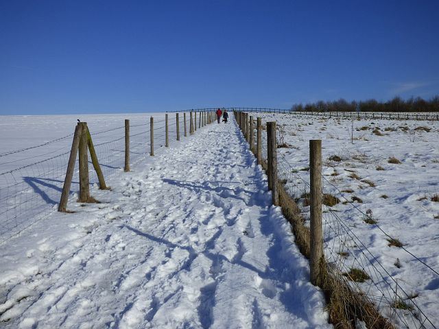
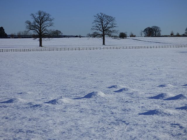
The downs, characterized by rolling hills and vast open spaces, provide a stunning backdrop for visitors to explore. Here, one can find an abundance of wildflowers, including rare species such as the bee orchid and the chalk milkwort. The downs are also home to a variety of bird species, including skylarks and kestrels, making it a popular spot for birdwatchers.
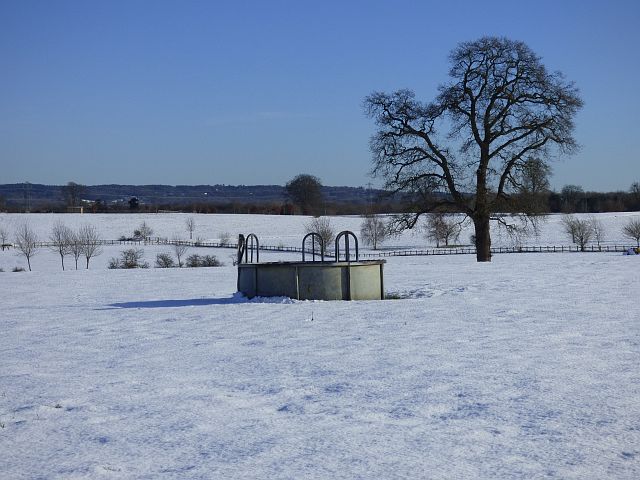
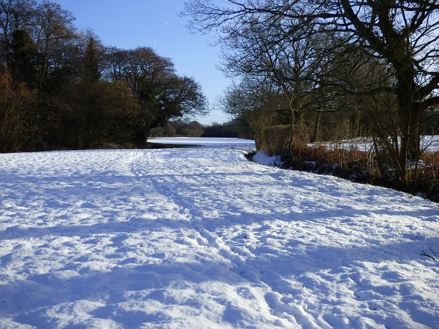
On the other hand, the moorland area of Great Park offers a different landscape, with its heather-covered hills and peat bogs. This unique environment supports a range of wildlife, including the elusive Dartford warbler and the endangered southern damselfly. Visitors can enjoy leisurely walks along the well-maintained trails, taking in the panoramic views of the surrounding countryside.
Great Park is not only a natural wonderland but also holds historical significance. The remains of Iron Age hill forts can be found scattered across the park, providing a glimpse into the region's ancient past. Additionally, the park boasts a rich cultural heritage, with several stately homes and gardens located nearby, including the historic Winchester Cathedral.
With its diverse landscapes, rich biodiversity, and historical landmarks, Great Park, Hampshire offers a captivating experience for nature lovers, history enthusiasts, and those seeking tranquility in the heart of the English countryside.
If you have any feedback on the listing, please let us know in the comments section below.
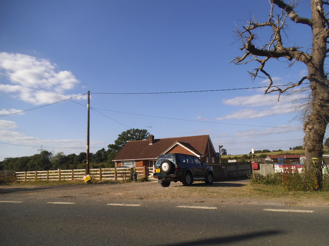
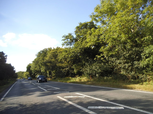
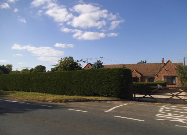
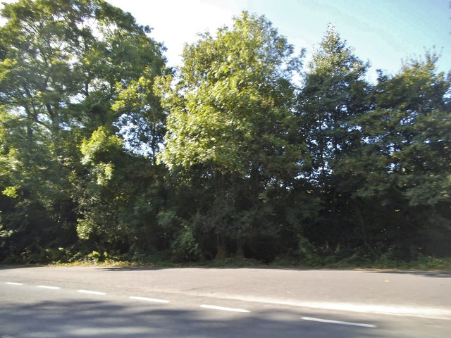
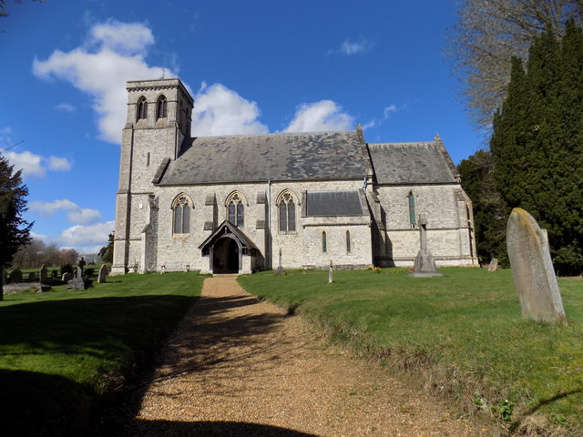
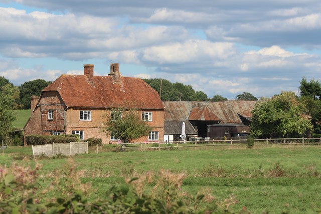
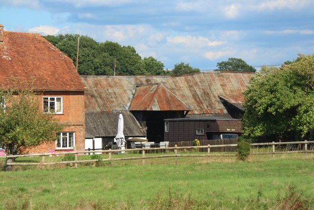
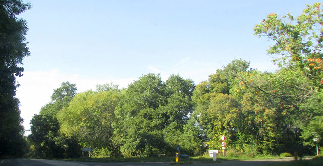
Great Park Images
Images are sourced within 2km of 51.264867/-0.90202144 or Grid Reference SU7652. Thanks to Geograph Open Source API. All images are credited.


Great Park is located at Grid Ref: SU7652 (Lat: 51.264867, Lng: -0.90202144)
Administrative County: Hampshire
District: Hart
Police Authority: Hampshire
What 3 Words
///cocktail.leotard.ballooned. Near Odiham, Hampshire
Nearby Locations
Related Wikis

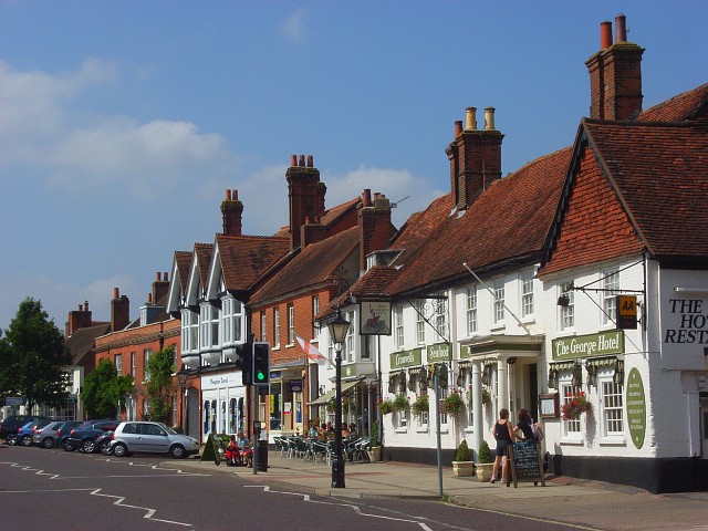
Winchfield
Winchfield is a small village in the Hart District of Hampshire in the South-East of England. It is situated 1 mile (1.6 km) south-west of Hartley Wintney...
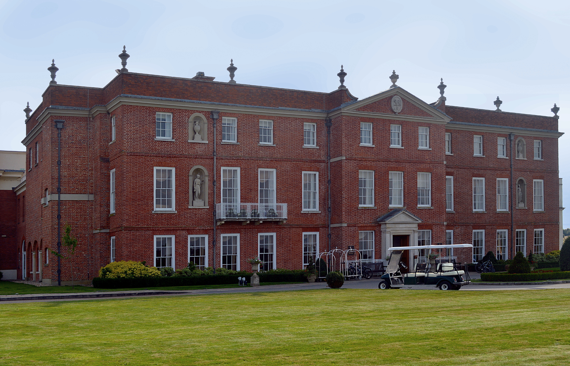
Dogmersfield Park
Dogmersfield Park or Dogmersfield House is a Grade I listed Georgian country house, now being used as a hotel. It is located in Dogmersfield, a small village...

Whitehall, Hampshire
Whitehall is a hamlet in the civil parish of Odiham in Hampshire, England. Its nearest town is Hook, approximately 3.5 miles (4.75 km) away.
Dogmersfield
Dogmersfield is a small village lying between the towns of Fleet and Hartley Wintney in Hampshire, England. The M3 motorway and railway stations at Fleet...
Rye, Hampshire
Rye is a hamlet in the civil parish of Odiham, in the Hart district of Hampshire, England. The hamlet lies near the A287 road between Odiham and Farnham...
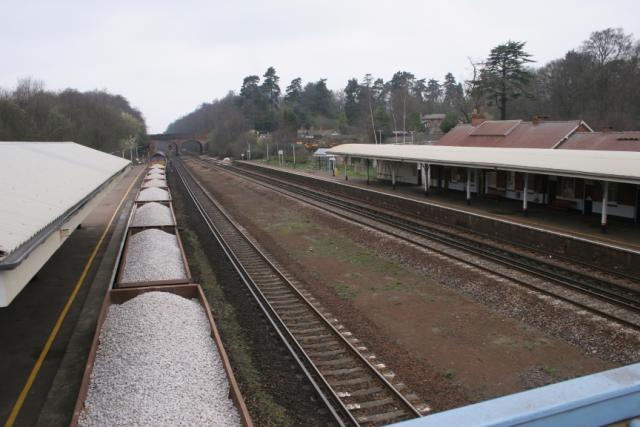
Winchfield railway station
Winchfield railway station is located in the small village of Winchfield and also serves Hartley Wintney and surrounding villages and towns such as Odiham...
Winchfield Green
Winchfield Green is a hamlet in the civil parish of Winchfield in Hampshire, England. Its nearest town is Fleet, which lies approximately 2 miles (3 km...
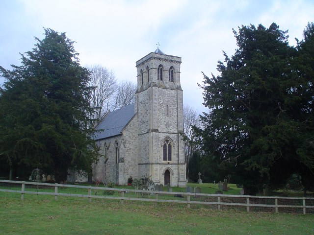
Odiham
Odiham () is a large historic village and civil parish in the Hart district of Hampshire, England. It is twinned with Sourdeval in the Manche Department...
Nearby Amenities
Located within 500m of 51.264867,-0.90202144Have you been to Great Park?
Leave your review of Great Park below (or comments, questions and feedback).