Feoffee Common
Downs, Moorland in Yorkshire
England
Feoffee Common
Feoffee Common, located in the Yorkshire Dales region of England, is a picturesque area known for its stunning natural beauty and diverse landscapes. Spanning across the Downs and Moorland, this common is a haven for outdoor enthusiasts and nature lovers.
The Downs section of Feoffee Common offers rolling hills and expansive grasslands, providing a perfect setting for leisurely walks and picnics. The panoramic views from the highest points in this area are simply breathtaking, allowing visitors to appreciate the vastness of the surrounding countryside.
Moving towards the Moorland, the landscape changes dramatically, with heather-covered moors and rugged terrain dominating the scene. This area is a paradise for hikers and adventure seekers, offering endless opportunities for exploration and discovery. Its tranquil atmosphere and untouched beauty make it a popular spot for birdwatching and wildlife spotting, with numerous species of birds, mammals, and reptiles calling this place home.
Feoffee Common is also rich in historical and cultural significance. The remains of ancient settlements and archaeological sites can be found scattered throughout the area, providing a glimpse into the region's past. Visitors can immerse themselves in the local history and heritage by visiting nearby museums and heritage centers, which showcase artifacts and displays from the area's past.
Overall, Feoffee Common offers a diverse and captivating landscape, with its Downs and Moorland providing a perfect blend of natural beauty and historical charm. Whether it's for a peaceful stroll, an adrenaline-fueled adventure, or a cultural exploration, Feoffee Common has something to offer for everyone.
If you have any feedback on the listing, please let us know in the comments section below.
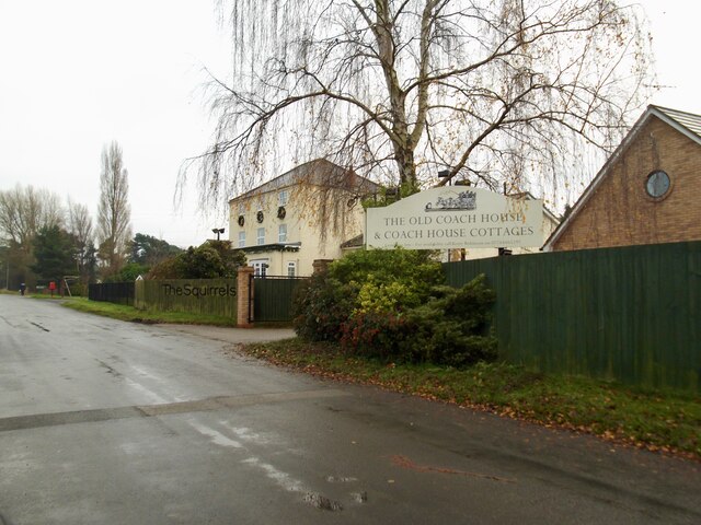
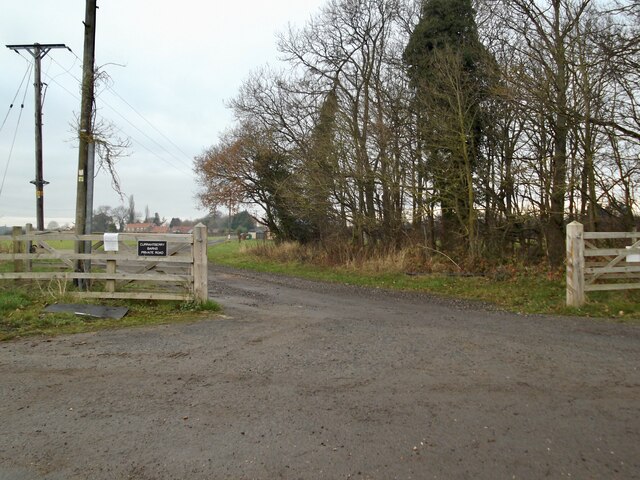
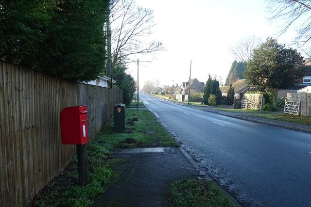
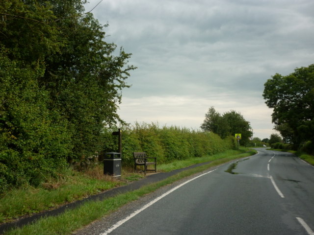
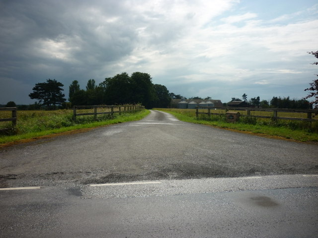
Feoffee Common Images
Images are sourced within 2km of 53.948153/-0.83782435 or Grid Reference SE7650. Thanks to Geograph Open Source API. All images are credited.
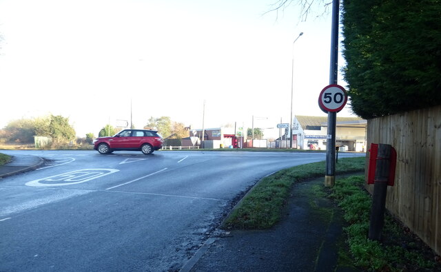
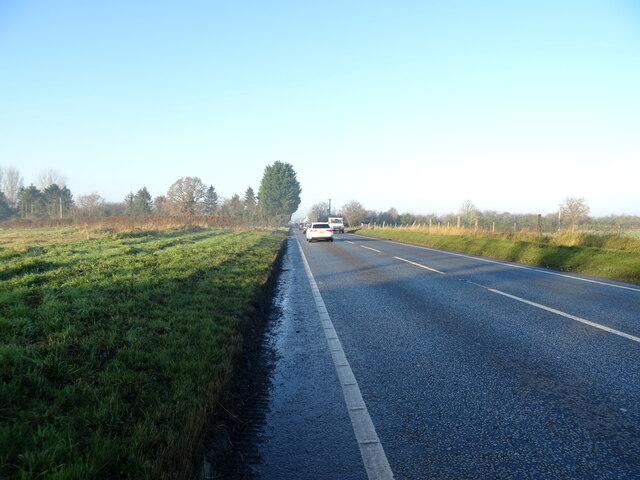
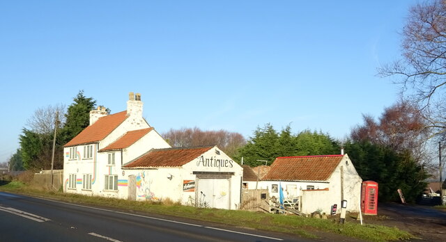


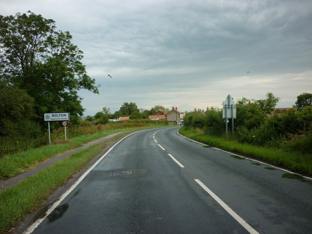


Feoffee Common is located at Grid Ref: SE7650 (Lat: 53.948153, Lng: -0.83782435)
Division: East Riding
Unitary Authority: East Riding of Yorkshire
Police Authority: Humberside
What 3 Words
///attending.removable.blessing. Near Wilberfoss, East Yorkshire
Nearby Locations
Related Wikis

Yapham Gate railway station
Yapham Gate railway station was a station on the York to Beverley Line in the East Riding of Yorkshire, England. It opened on 4 October 1847 and served...

Bolton, East Riding of Yorkshire
Bolton is a village and former civil parish, now in the parish of Fangfoss, in the East Riding of Yorkshire, England. It is situated approximately 10 miles...

Barmby Moor
Barmby Moor is a village and civil parish in the East Riding of Yorkshire, England. It is situated approximately 1.5 miles (2.4 km) west of the market...

Fangfoss
Fangfoss is a village and civil parish in the East Riding of Yorkshire, England. It is situated approximately 11 miles (18 km) to the east of the city...
Nearby Amenities
Located within 500m of 53.948153,-0.83782435Have you been to Feoffee Common?
Leave your review of Feoffee Common below (or comments, questions and feedback).