Angram Field
Downs, Moorland in Yorkshire
England
Angram Field

Angram Field is a picturesque area located in the county of Yorkshire, England. Nestled amidst the stunning landscape of the Yorkshire Downs and Moorland, this area is known for its natural beauty and diverse wildlife.
Covering an extensive area of rolling hills, open fields, and heather-clad moorland, Angram Field offers visitors a tranquil and serene escape from the hustle and bustle of city life. The area is characterized by its lush greenery, scattered with vibrant wildflowers during the spring and summer months.
The Yorkshire Downs, which surround Angram Field, provide breathtaking panoramic views of the countryside. The undulating hills are perfect for hiking enthusiasts, offering a range of trails and footpaths that cater to all levels of difficulty. Many visitors also take advantage of the fantastic opportunities for birdwatching, as the area is home to a wide variety of bird species.
The moorland in Angram Field is a unique ecosystem, with vast expanses of heather dominating the landscape. During the late summer months, the moors transform into a sea of purple as the heather blooms. This vibrant display is a sight to behold and attracts photographers and nature enthusiasts from far and wide.
Angram Field is also home to a rich history, with ancient stone circles and burial mounds scattered throughout the area. These archaeological sites offer a glimpse into the past and provide a fascinating insight into the lives of the people who once inhabited this land.
Overall, Angram Field is a haven for nature lovers and those seeking a peaceful retreat in the heart of Yorkshire. With its stunning natural scenery and abundance of wildlife, this area is a must-visit for anyone looking to experience the beauty of the Yorkshire Downs and Moorland.
If you have any feedback on the listing, please let us know in the comments section below.
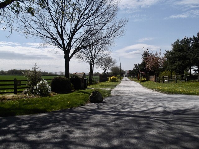
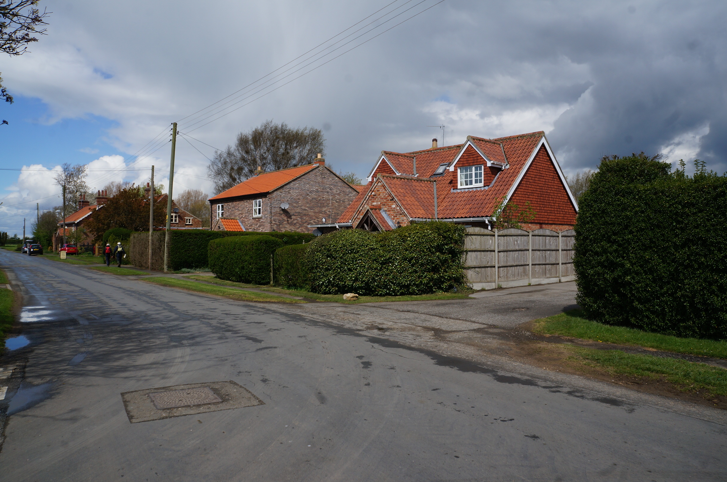
Angram Field Images
Images are sourced within 2km of 53.883622/-0.84773878 or Grid Reference SE7543. Thanks to Geograph Open Source API. All images are credited.


Angram Field is located at Grid Ref: SE7543 (Lat: 53.883622, Lng: -0.84773878)
Division: East Riding
Unitary Authority: East Riding of Yorkshire
Police Authority: Humberside
What 3 Words
///ally.snowballs.valuables. Near Melbourne, East Yorkshire
Nearby Locations
Related Wikis

Melbourne, East Riding of Yorkshire
Melbourne is a village and civil parish in the East Riding of Yorkshire, England. It is situated approximately 8 miles (13 km) west of the market town...
Thornton, East Riding of Yorkshire
Thornton is a village and civil parish in the East Riding of Yorkshire, England. It is situated approximately 3.5 miles (5.6 km) south-west of the town...
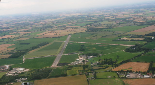
RAF Melbourne
Royal Air Force Melbourne or more simply RAF Melbourne is a former Royal Air Force station used during the Second World War. Located 5 miles (8 km) to...

Bielby
Bielby is a village and civil parish in the East Riding of Yorkshire, England. The village is situated about 4 miles (6.4 km) south of Pocklington. According...
Related Videos

Pocklington Canal, East Riding - 12 June 2022
A 12 mile walk from Pocklington. The route first heads west to Allerthorpe and then onto Allerthorpe Common before heading ...

The Vesta Curry Incident #Blooper #shorts
Vesta Curry #Blooper #shorts - This is a pooper blooper :p.

THORNTON: East Riding of Yorkshire Parish #75 of 172
EAST RIDING OF YORKSHIRE PARISH #75: THORNTON Thornton is a tiny village in the East Riding of Yorkshire, situated ...

Pocklington Canal, Yorkshire.
Join the three of us as we walk along the lovely Pocklington Canal and encounter loads of swans.
Nearby Amenities
Located within 500m of 53.883622,-0.84773878Have you been to Angram Field?
Leave your review of Angram Field below (or comments, questions and feedback).