West Field

Downs, Moorland in Yorkshire

England

West Field

Rossmoor Garage At the junction of Hagg Lane and General Lane.
Rossmoor Garage Credit: DS Pugh

The requested URL returned error: 429 Too Many Requests

If you have any feedback on the listing, please let us know in the comments section below.
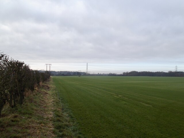
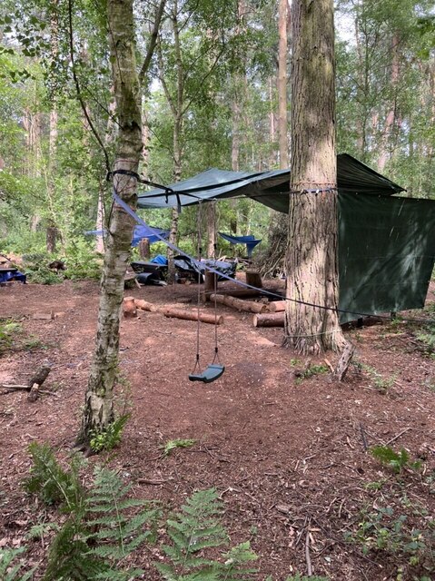
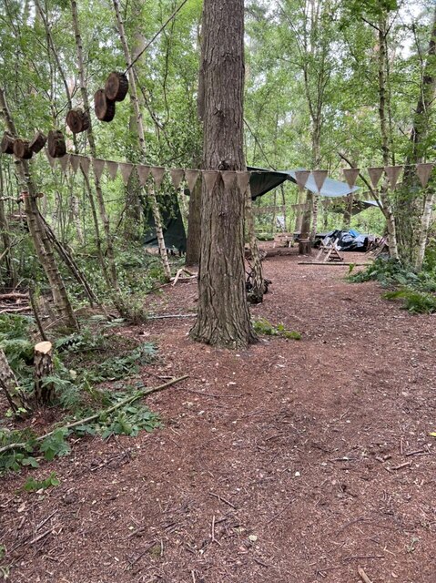
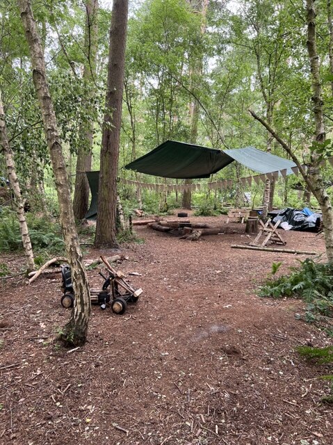
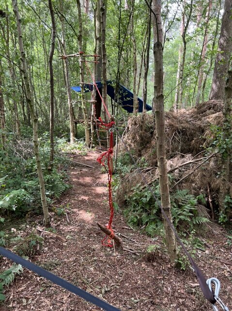
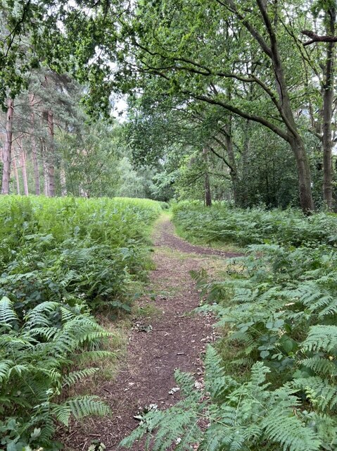
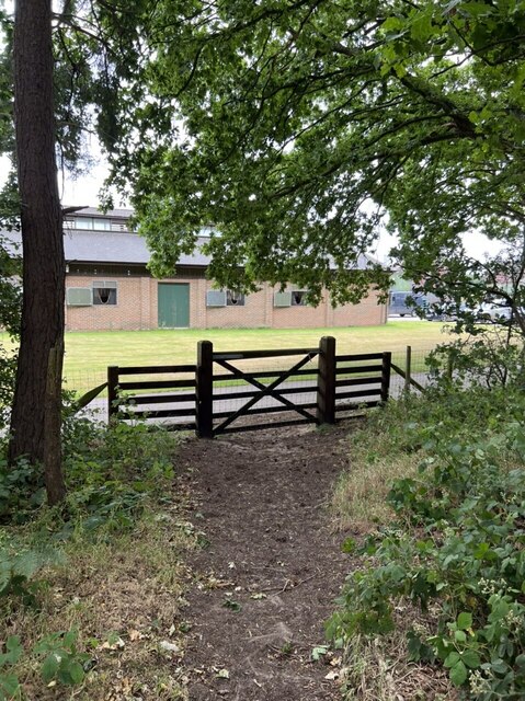
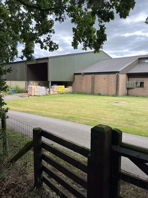
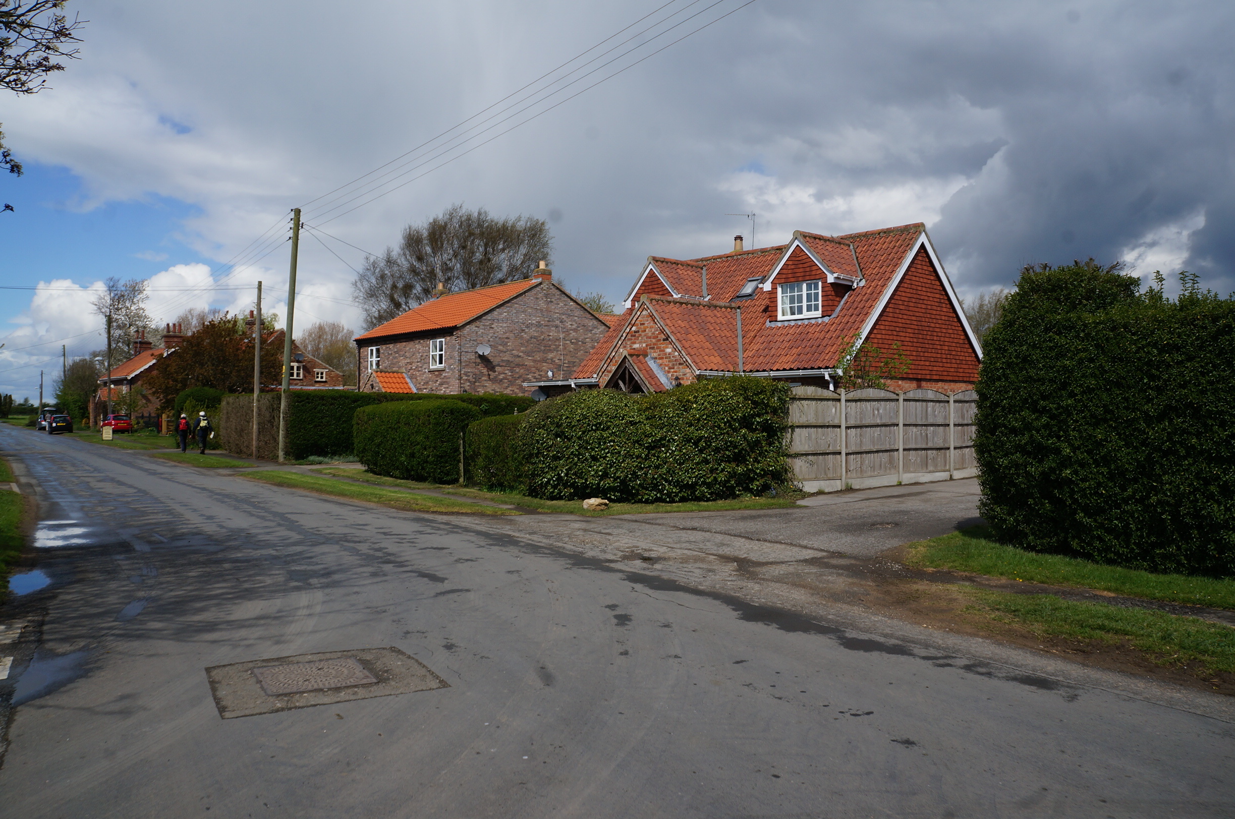
West Field Images

Images are sourced within 2km of 53.900883/-0.86788702 or Grid Reference SE7445. Thanks to Geograph Open Source API. All images are credited.

Rossmoor Garage At the junction of Hagg Lane and General Lane.
Rossmoor Garage
At the junction of Hagg Lane and General Lane.
Entrance to Rossmoor Lodge
Grassland, Moor Closes
Sheep at Common Farm
Melbourne Main Street Looking through the village near the junction with Campey Lane.
Melbourne Main Street
Looking through the village near the junction with Campey Lane.
Main Street in Melbourne Looking through the village near Campey Lane.
Main Street in Melbourne
Looking through the village near Campey Lane.
Bridle Path One of several used tracks from the nearby stud farm.
Bridle Path
One of several used tracks from the nearby stud farm.
Woodland Play Area An outdoor play area at Lowmoor woodland.
Woodland Play Area
An outdoor play area at Lowmoor woodland.
Woodland Playground One of the entrances from the bridle way, a lot of work has been utilised creating this area.
Woodland Playground
One of the entrances from the bridle way, a lot of work has been utilised creating this area.
Playground Shelter Shelter for shade and damp days at the playground.
Playground Shelter
Shelter for shade and damp days at the playground.
Zip wire Zip wire at the play area.
Zip wire
Zip wire at the play area.
Well used bridle way The track from the nearby stables is well used down in an south east direction towards Allerthorpe Common.
Well used bridle way
The track from the nearby stables is well used down in an south east direction towards Allerthorpe Common.
Allerthorpe Stud A very impressive stable block.
Allerthorpe Stud
A very impressive stable block.
Large barn One of several large barns at Allerthorpe Stud farm.
Large barn
One of several large barns at Allerthorpe Stud farm.
Field north of Sandhill Lane Farmland beside the road between Sutton upon Derwent and Allerthorpe Common.
Field north of Sandhill Lane
Farmland beside the road between Sutton upon Derwent and Allerthorpe Common.
Entrance to Low Farm From the road between Sutton upon Derwent and Allerthorpe Common.
Entrance to Low Farm
From the road between Sutton upon Derwent and Allerthorpe Common.
Woodland on Low Moor The path heads towards The Street.
Woodland on Low Moor
The path heads towards The Street.
Path east of Common Lane Looking along a path over Allerthorpe Common leading to Allerthorpe.
Path east of Common Lane
Looking along a path over Allerthorpe Common leading to Allerthorpe.
Show me another place!

West Field is located at Grid Ref: SE7445 (Lat: 53.900883, Lng: -0.86788702)

Division: East Riding

Unitary Authority: East Riding of Yorkshire

Police Authority: Humberside

What 3 Words

///remember.whiplash.talker. Near Thornton, East Yorkshire

Nearby Locations

Horse Pastures West Field

Related Wikis

Thornton, East Riding of Yorkshire

Thornton is a village and civil parish in the East Riding of Yorkshire, England. It is situated approximately 3.5 miles (5.6 km) south-west of the town...

Melbourne, East Riding of Yorkshire

Melbourne is a village and civil parish in the East Riding of Yorkshire, England. It is situated approximately 8 miles (13 km) west of the market town...

Allerthorpe Common

Allerthorpe Common is a Site of Special Scientific Interest (SSSI) and nature reserve in the East Riding of Yorkshire, England. It is located close to...

Waplington

Waplington is a hamlet in the East Riding of Yorkshire, England. It is situated approximately 2 miles (3.2 km) south-west of the market town of Pocklington...

Have you been to West Field?

Leave your review of West Field below (or comments, questions and feedback).