Haynes West End

Settlement in Bedfordshire

England

Haynes West End

A6 southbound near St Jude's Farm
A6 southbound near St Jude's Farm Credit: Colin Pyle

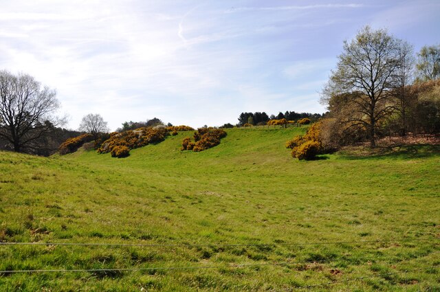
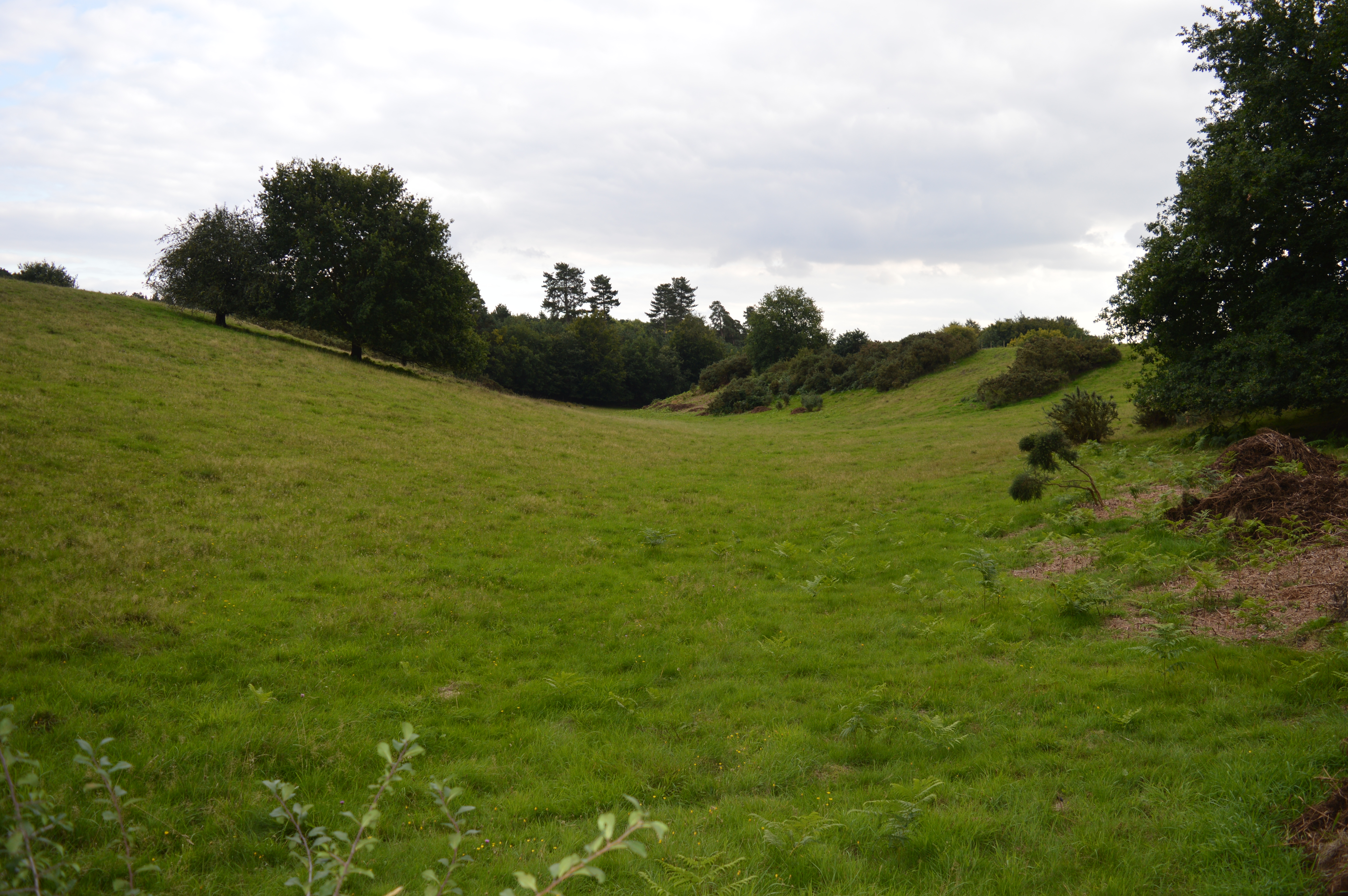
Haynes West End is a small village located in Bedfordshire, England. It is situated approximately 3 miles south of Bedford and is surrounded by picturesque countryside. The village is home to a mix of residential properties, including traditional cottages and modern houses.

Haynes West End has a close-knit community, with a village hall that hosts various events and gatherings throughout the year. There is also a local pub, The Greyhound, where residents can socialize and enjoy a meal or drink.

The village is well-connected to nearby towns and cities, with easy access to the A6 and A421 roads. This makes it a convenient location for commuters who work in Bedford or further afield.

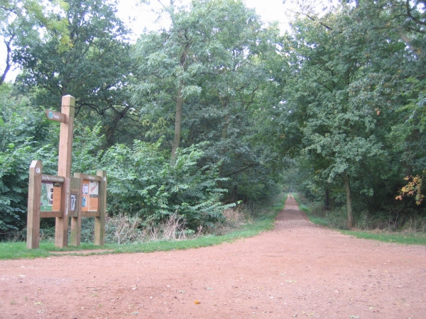
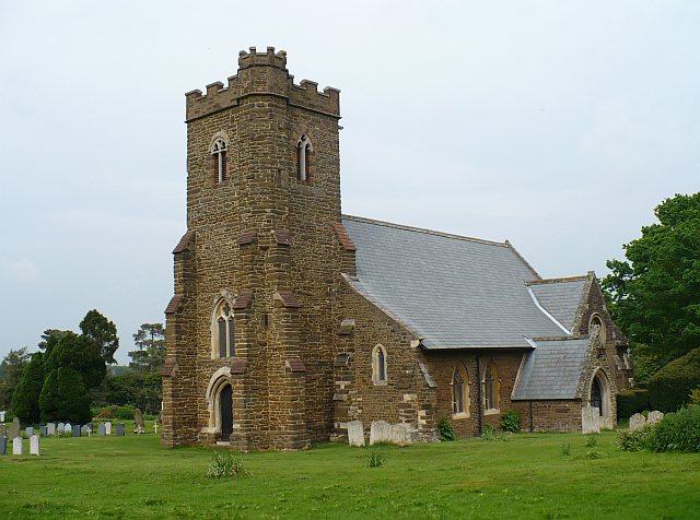
In terms of amenities, Haynes West End has a primary school, a church, and a small convenience store. There are also plenty of opportunities for outdoor activities, with several walking and cycling routes in the surrounding area.

Overall, Haynes West End offers a peaceful and picturesque setting for those looking to escape the hustle and bustle of city life.

If you have any feedback on the listing, please let us know in the comments section below.

Haynes West End Images

Images are sourced within 2km of 52.048032/-0.444488 or Grid Reference TL0639. Thanks to Geograph Open Source API. All images are credited.

A6 southbound near St Jude's Farm
Gorse bushes in flower Gorse bushes in flower in the 'hidden valley' near Maulden Wood.
Gorse bushes in flower
Gorse bushes in flower in the 'hidden valley' near Maulden Wood.
Path in Maulden Wood A path going south from the A6 entrance to Maulden Wood.
Path in Maulden Wood
A path going south from the A6 entrance to Maulden Wood.
Lone tree on the footpath A lone tree on a footpath in Maulden Wood.
Lone tree on the footpath
A lone tree on a footpath in Maulden Wood.
A6 southbound on Deadman's Hill
Deadman's Hill, Clophill, Beds The A6 cuts through the Greensand ridge north of the village.
Deadman's Hill, Clophill, Beds
The A6 cuts through the Greensand ridge north of the village.
Maulden Wood, Beds Trail guide near the A6 lay-by north of Clophill.
Maulden Wood, Beds
Trail guide near the A6 lay-by north of Clophill.
Maulden Wood, Beds Undulating ride along the Greensand ridge with autumn colours just appearing.
Maulden Wood, Beds
Undulating ride along the Greensand ridge with autumn colours just appearing.
Maulden Wood and farmland, Maulden, Beds View W along the boulder-clay capped Greensand ridge.
Maulden Wood and farmland, Maulden, Beds
View W along the boulder-clay capped Greensand ridge.
Oxley's Cottages, beside the A6, Haynes, Beds View N from the Deadman's Hill lay-by, site of the 1961 A6 Hanratty murder; compare view with a contemporary one at <span class="nowrap"><a title="http://news.bbc.co.uk/onthisday/hi/dates/stories/august/23/newsid_3013000/3013236.stm" rel="nofollow ugc noopener" href="http://news.bbc.co.uk/onthisday/hi/dates/stories/august/23/newsid_3013000/3013236.stm">Link</a><img style="margin-left:2px;" alt="External link" title="External link - shift click to open in new window" src="https://s1.geograph.org.uk/img/external.png" width="10" height="10"/></span>
Oxley's Cottages, beside the A6, Haynes, Beds
View N from the Deadman's Hill lay-by, site of the 1961 A6 Hanratty murder; compare view with a contemporary one at LinkExternal link
Farmland west of Great Lane, Clophill, Beds – looking across the Chalky Boulder Clay plateau.
Farmland west of Great Lane, Clophill, Beds
– looking across the Chalky Boulder Clay plateau.
Limbersey Lane, Maulden, Beds the road down from Haynes West End into the village.
Limbersey Lane, Maulden, Beds
the road down from Haynes West End into the village.
Sheep on the footpath, Maulden, Beds – view S from Limbersey Lane.
Sheep on the footpath, Maulden, Beds
– view S from Limbersey Lane.
On Greensand Ridge in Maulden Woods On Greensand Ridge looking South.  This is part of the 40 mile walk from Gamlingay to Leighton Buzzard in Bedfordshire.  

Web link:    <span class="nowrap"><a title="http://www.greensandridgewalk.co.uk" rel="nofollow ugc noopener" href="http://www.greensandridgewalk.co.uk">Link</a><img style="margin-left:2px;" alt="External link" title="External link - shift click to open in new window" src="https://s1.geograph.org.uk/img/external.png" width="10" height="10"/></span>
On Greensand Ridge in Maulden Woods
On Greensand Ridge looking South. This is part of the 40 mile walk from Gamlingay to Leighton Buzzard in Bedfordshire. Web link: LinkExternal link
Commemorative plaque One of a number placed along the Greensand Ridge Walk to commemorate the Golden Jubilee of the Queen.
Commemorative plaque
One of a number placed along the Greensand Ridge Walk to commemorate the Golden Jubilee of the Queen.
Greensand Ridge Walk Part of the footpath heading towards Maulden
Greensand Ridge Walk
Part of the footpath heading towards Maulden
Lone Cottage Lone thatched cottage on the Greensand Ridge Walk, in Maulden Woods.
Lone Cottage
Lone thatched cottage on the Greensand Ridge Walk, in Maulden Woods.
Look South Farm trackway leading southwards towards Green End from Maulden Woods.
Look South
Farm trackway leading southwards towards Green End from Maulden Woods.
Show me another place!

Haynes West End is located at Grid Ref: TL0639 (Lat: 52.048032, Lng: -0.444488)

Unitary Authority: Central Bedfordshire

Police Authority: Bedfordshire

What 3 Words

///probable.grandson.unleashed. Near Maulden, Bedfordshire

Related Wikis

Maulden Wood

Maulden Wood is a woodland situated in Bedfordshire, England, near the village of Maulden, on the greensand ridge that stretches from Leighton Buzzard...

Maulden Heath

Maulden Heath is a 7.6-hectare (19-acre) Site of Special Scientific Interest in Maulden in Bedfordshire. It was notified in 1986 under Section 28 of the...

Haynes, Bedfordshire

Haynes is a village and civil parish in Bedfordshire, England, about seven miles (11 km) south of Bedford. It includes the small hamlet of Haynes Church...

Haynes Church End

Haynes Church End is located in the Central Bedfordshire district of Bedfordshire, England. The settlement is close to the larger villages of Houghton...

Nearby Amenities

Located within 500m of 52.048032,-0.444488
Anglican Vehicle Services
Shop: car_repair
Lat/Long: 52.0467176/-0.4392629
Haynes West End
Place: locality
Source: OS_OpenData_StreetView
Lat/Long: 52.0491677/-0.4448216
Post Box
Collection Times: Mo-Fr 16:00; Sa 11:45
Operator: Royal Mail
Post Box Type: lamp
Ref: MK45 252
Royal Cypher: EIIR
Royal Cypher Wikidata: Q33102113
Source: survey
Survey Date: 2016-12-12
Lat/Long: 52.0481177/-0.4443455
Direction: 175
Generator Method: photovoltaic
Generator Output Electricity: yes
Generator Solar Modules: 22
Generator Source: solar
Generator Type: solar_photovoltaic_panel
Location: roof
Power: generator
Lat/Long: 52.0453231/-0.4406724
Direction: 175
Generator Method: thermal
Generator Output Hot Water: yes
Generator Solar Modules: 2
Generator Source: solar
Generator Type: solar_thermal_collector
Location: roof
Lat/Long: 52.0453397/-0.4406755
Direction: 65
Generator Method: photovoltaic
Generator Output Electricity: yes
Generator Solar Modules: 9
Generator Source: solar
Generator Type: solar_photovoltaic_panel
Location: roof
Power: generator
Lat/Long: 52.0480897/-0.4438683
Direction: 245
Generator Method: photovoltaic
Generator Output Electricity: yes
Generator Solar Modules: 8
Generator Source: solar
Generator Type: solar_photovoltaic_panel
Location: roof
Power: generator
Lat/Long: 52.0480774/-0.4439218
Direction: 245
Generator Method: photovoltaic
Generator Output Electricity: yes
Generator Solar Modules: 8
Generator Source: solar
Generator Type: solar_photovoltaic_panel
Location: roof
Power: generator
Lat/Long: 52.048134/-0.4439652
Direction: 65
Generator Method: photovoltaic
Generator Output Electricity: yes
Generator Solar Modules: 9
Generator Source: solar
Generator Type: solar_photovoltaic_panel
Location: roof
Power: generator
Lat/Long: 52.048145/-0.4439118
Direction: 140
Generator Method: photovoltaic
Generator Output Electricity: yes
Generator Solar Modules: 24
Generator Source: solar
Generator Type: solar_photovoltaic_panel
Location: roof
Power: generator
Lat/Long: 52.0499531/-0.444295
Give Way
Direction: backward
Lat/Long: 52.0505234/-0.4452492
Give Way
Direction: forward
Lat/Long: 52.0507201/-0.4451989
The data included in this document is from www.openstreetmap.org. The data is made available under ODbL.

Have you been to Haynes West End?

Leave your review of Haynes West End below (or comments, questions and feedback).