West Field
Downs, Moorland in Yorkshire
England
West Field
Located in the county of Yorkshire in England, West Field is a picturesque area known for its stunning natural beauty, consisting of both downs and moorland landscapes. Covering a vast expanse of land, West Field offers a diverse range of ecosystems and habitats, making it a haven for nature enthusiasts and wildlife alike.
The downs of West Field are characterized by rolling hills and expansive grasslands, providing breathtaking views of the surrounding countryside. These areas are often dotted with grazing livestock, adding to the idyllic rural charm. The downs are also home to a variety of plant species, including wildflowers such as bluebells and buttercups, creating a colorful and vibrant landscape during the spring and summer months.
On the other hand, the moorland in West Field offers a more rugged and untamed environment. With its heather-covered hills and vast stretches of open land, the moorland is a unique habitat that supports a range of flora and fauna. Visitors to West Field may encounter rare bird species, such as curlews and lapwings, as well as small mammals like hares and stoats.
Aside from its natural beauty, West Field also boasts several walking and hiking trails, allowing visitors to explore the area at their own pace. These trails often lead to panoramic viewpoints, where one can appreciate the vastness of the landscape and its tranquil surroundings.
Overall, West Field, Yorkshire (Downs, Moorland) is a captivating destination that offers a blend of stunning natural scenery, diverse ecosystems, and ample opportunities for outdoor activities. Whether you are a nature lover, a hiker, or simply seeking a peaceful escape from the hustle and bustle of everyday life, West Field is sure to leave a lasting impression.
If you have any feedback on the listing, please let us know in the comments section below.
West Field Images
Images are sourced within 2km of 53.89399/-0.87657987 or Grid Reference SE7344. Thanks to Geograph Open Source API. All images are credited.


West Field is located at Grid Ref: SE7344 (Lat: 53.89399, Lng: -0.87657987)
Division: East Riding
Unitary Authority: East Riding of Yorkshire
Police Authority: Humberside
What 3 Words
///shaky.pythons.gilding. Near Melbourne, East Yorkshire
Nearby Locations
Related Wikis

Melbourne, East Riding of Yorkshire
Melbourne is a village and civil parish in the East Riding of Yorkshire, England. It is situated approximately 8 miles (13 km) west of the market town...
Thornton, East Riding of Yorkshire
Thornton is a village and civil parish in the East Riding of Yorkshire, England. It is situated approximately 3.5 miles (5.6 km) south-west of the town...

Storwood
Storwood is a hamlet and former civil parish, now in the parish of Cottingwith, East Riding of Yorkshire, England. It is situated approximately 6 miles...

Allerthorpe Common
Allerthorpe Common is a Site of Special Scientific Interest (SSSI) and nature reserve in the East Riding of Yorkshire, England. It is located close to...

Sutton upon Derwent
Sutton upon Derwent is a small village and civil parish on the River Derwent in the East Riding of Yorkshire, England, approximately 8 miles (13 km) to...
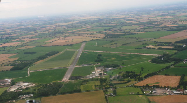
RAF Melbourne
Royal Air Force Melbourne or more simply RAF Melbourne is a former Royal Air Force station used during the Second World War. Located 5 miles (8 km) to...
Derwent Ings
Derwent Ings is a Site of Special Scientific Interest (SSSI) divided between North Yorkshire and the East Riding of Yorkshire, England. Derwent Ings is...

Waplington
Waplington is a hamlet in the East Riding of Yorkshire, England. It is situated approximately 2 miles (3.2 km) south-west of the market town of Pocklington...
Nearby Amenities
Located within 500m of 53.89399,-0.87657987Have you been to West Field?
Leave your review of West Field below (or comments, questions and feedback).