Aldby Park

Downs, Moorland in Yorkshire Ryedale

England

Aldby Park

Bleaberry  Lane at Low Field Lane near Buttercrambe
Bleaberry Lane at Low Field Lane near Buttercrambe Credit: Ian S

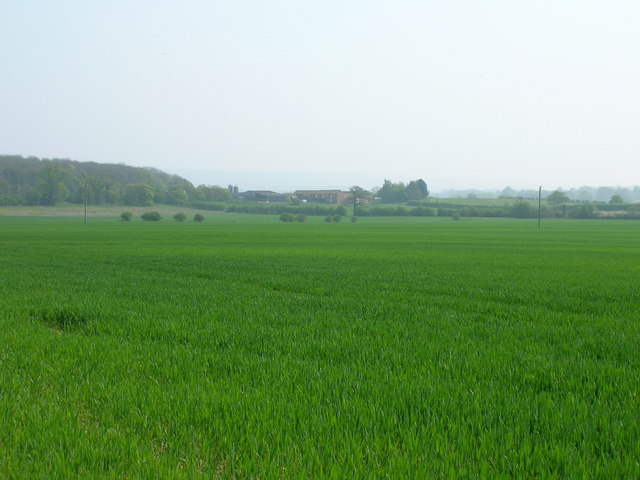
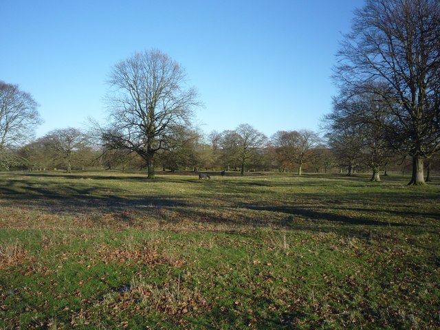
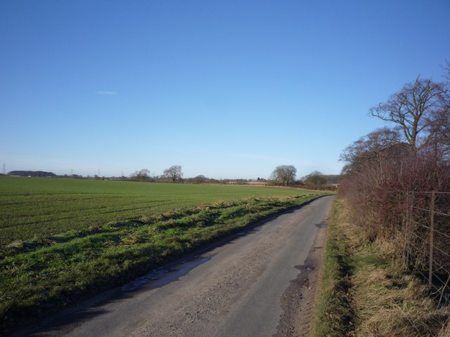
Aldby Park is a historic estate located in the beautiful countryside of Yorkshire, England. Situated amidst the Downs and Moorland, the park spans over vast acres of rolling green fields, serene woodlands, and picturesque gardens. The estate is renowned for its natural beauty, offering visitors a tranquil escape from the bustling city life.

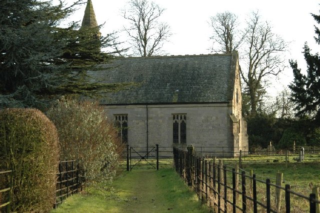
The park boasts a rich history that dates back to the 17th century when it was first established as a stately home. The centerpiece of Aldby Park is the magnificent Grade I listed Georgian mansion, which showcases exquisite architecture and elegant interiors. The estate has been meticulously maintained, retaining its original charm and grandeur.

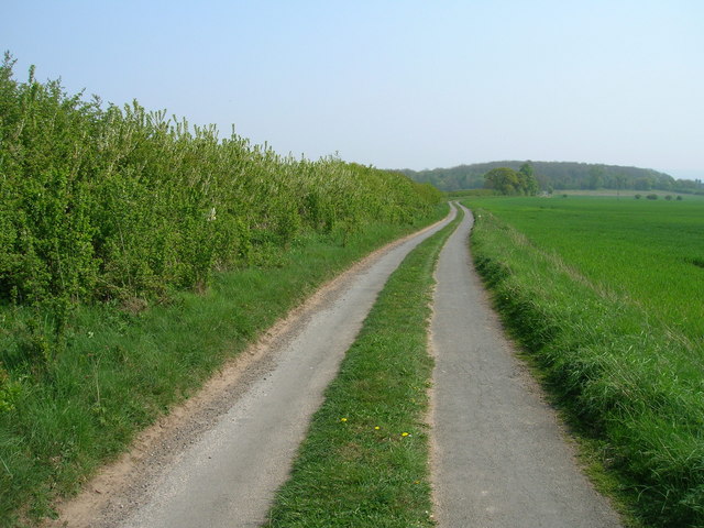
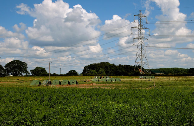
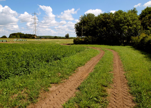
Visitors to Aldby Park can explore the extensive grounds, which feature manicured gardens, enchanting lakes, and meandering streams. The park is a haven for nature enthusiasts, offering opportunities for leisurely walks, picnics, and bird-watching. The diverse landscape of the Downs and Moorland provides a habitat for various species of plants and wildlife, making it a favorite spot for nature lovers.

Additionally, Aldby Park offers a range of recreational activities such as fishing, horse riding, and cycling. The estate also hosts events and weddings, providing a stunning backdrop for special occasions.

Aldby Park is easily accessible, located in close proximity to major transportation routes. Its idyllic location amidst the Yorkshire countryside, combined with its rich history and natural beauty, makes it a must-visit destination for those seeking a peaceful retreat or an enchanting venue for celebrations.

If you have any feedback on the listing, please let us know in the comments section below.

Aldby Park Images

Images are sourced within 2km of 54.022096/-0.89074592 or Grid Reference SE7259. Thanks to Geograph Open Source API. All images are credited.

Bleaberry  Lane at Low Field Lane near Buttercrambe
Bleaberry Lane at Low Field Lane near Buttercrambe
Looking north towards Scrayingham
The River Derwent at Buttercrambe
Ellers Farm, north of Stamford Bridge
Farmland looking towards Woodhouse Farm
Minor road towards Woodhouse Farm
Farmland near Buttercrambe Moor This is typical scenery for this part of the Vale of York.  The free-range pigs seemed happy with their lot.

I managed to access this private land by buying some fresh asparagus and strawberries from the Low Moor Farm shop (the produce was second to none and worth the detour!).  I asked the farmer for permission to take this photograph on land just east of the farm after explaining the purpose behind 'Geograph' and he duly obliged.  Thanks!
Farmland near Buttercrambe Moor
This is typical scenery for this part of the Vale of York. The free-range pigs seemed happy with their lot. I managed to access this private land by buying some fresh asparagus and strawberries from the Low Moor Farm shop (the produce was second to none and worth the detour!). I asked the farmer for permission to take this photograph on land just east of the farm after explaining the purpose behind 'Geograph' and he duly obliged. Thanks!
Farm Track East of Low Moor Farm This is typical scenery for this part of the Vale of York.

I managed to access this private land by buying some fresh asparagus and strawberries from the Low Moor Farm shop (the produce was second to none and worth the detour!).  I asked the farmer for permission to take this photograph on land just east of the farm after explaining the purpose behind 'Geograph' and he duly obliged.  Thanks!
Farm Track East of Low Moor Farm
This is typical scenery for this part of the Vale of York. I managed to access this private land by buying some fresh asparagus and strawberries from the Low Moor Farm shop (the produce was second to none and worth the detour!). I asked the farmer for permission to take this photograph on land just east of the farm after explaining the purpose behind 'Geograph' and he duly obliged. Thanks!
The entrance to Bank House Farm
Aldby Park Looking towards two horses in Aldby Park.
Aldby Park
Looking towards two horses in Aldby Park.
Road along Aldby Park Looking along the road heading to Bossall from Buttercrambe.
Road along Aldby Park
Looking along the road heading to Bossall from Buttercrambe.
Road closed due to flooding The River Derwent has burst its banks here on the approach to the bridge in Buttercrambe.
Road closed due to flooding
The River Derwent has burst its banks here on the approach to the bridge in Buttercrambe.
Flooding in Buttercrambe The River Derwent has burst its banks to the road here. The river normally sits the other side of the trees.
Flooding in Buttercrambe
The River Derwent has burst its banks to the road here. The river normally sits the other side of the trees.
Bleaberry Lane Looking along Bleaberry Lane towards the Malton Road.
Bleaberry Lane
Looking along Bleaberry Lane towards the Malton Road.
Farm Track Similar view to <a href="https://www.geograph.org.uk/photo/189518">SE7458 : Farm Track</a>.
Farm Track
Similar view to SE7458 : Farm Track.
The lane towards Toft Flats
Bridge over the River Derwent at Buttercrambe
Restricted width over the bridge at Buttercrambe
Show me another place!

Aldby Park is located at Grid Ref: SE7259 (Lat: 54.022096, Lng: -0.89074592)

Division: North Riding

Administrative County: North Yorkshire

District: Ryedale

Police Authority: North Yorkshire

What 3 Words

///decimals.puppy.clashing. Near Stamford Bridge, East Yorkshire

Related Wikis

Aldby Park

Aldby Park is a country estate in the village of Buttercrambe near the village of Stamford Bridge in the East Riding of Yorkshire, England. The house,...

Buttercrambe Castle

Buttercrambe Castle was in the village of Buttercrambe in North Yorkshire, England. This was possibly a medieval motte-and-bailey castle. The bailey has...

Buttercrambe with Bossall

Buttercrambe with Bossall is a civil parish in North Yorkshire, England. The parish had a population of 100 according to the 2001 census, increasing to...

Buttercrambe

Buttercrambe is a small village in the Buttercrambe with Bossall civil parish, in North Yorkshire, England.The village is situated approximately 8 miles...

Scrayingham

Scrayingham is a village and civil parish in North Yorkshire, England. It was historically part of the East Riding of Yorkshire until 1974. The population...

Bossall

Bossall is a hamlet in North Yorkshire, England with fewer than 100 residents. The village was part of the Ryedale district between 1974 and 2023. It is...

Skirpenbeck

Skirpenbeck is a village and civil parish in the East Riding of Yorkshire, England. It is situated 2 miles (3.2 km) north-west of Stamford Bridge just...

Sand Hutton Miniature Railway

The Sand Hutton Miniature Railway was a miniature gauge estate railway serving the estate of Sir Robert Walker, the Fourth Baronet of Sand Hutton, Yorkshire...

Nearby Amenities

Located within 500m of 54.022096,-0.89074592
The data included in this document is from www.openstreetmap.org. The data is made available under ODbL.

Have you been to Aldby Park?

Leave your review of Aldby Park below (or comments, questions and feedback).