Appleton Common
Downs, Moorland in Yorkshire Ryedale
England
Appleton Common

Appleton Common is a picturesque and expansive area located in the heart of Yorkshire, England. Nestled amidst the stunning landscape of the Yorkshire Downs and Moorland, this common is a haven for nature enthusiasts and those seeking tranquility away from the bustling city life.
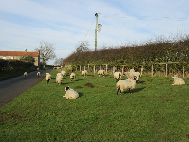
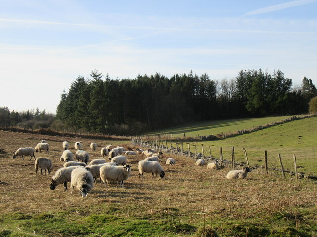
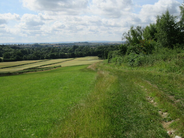
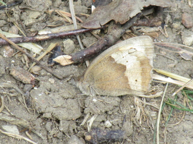
Covering a vast expanse of approximately 500 acres, Appleton Common is characterized by its rolling hills, lush green meadows, and scattered woodlands. The area boasts a rich diversity of flora and fauna, making it a popular destination for wildlife enthusiasts, hikers, and birdwatchers. Visitors can expect to encounter a wide array of species, including deer, rabbits, foxes, and a variety of bird species such as pheasants, skylarks, and kestrels.
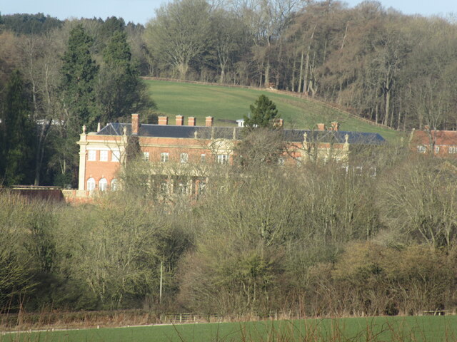
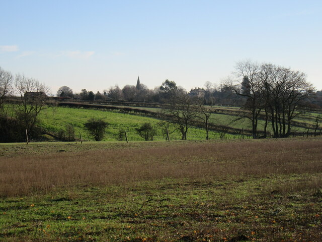
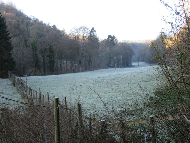
The landscape of Appleton Common offers breathtaking panoramic views of the surrounding countryside, with the Yorkshire Downs providing a stunning backdrop. The area is punctuated by several walking trails and footpaths, allowing visitors to explore its natural beauty at their own pace. Additionally, there are designated picnic areas, perfect for enjoying a leisurely lunch amidst the idyllic surroundings.
Appleton Common holds great historical significance, with evidence of human habitation dating back to the Neolithic period. The area is dotted with ancient burial mounds, stone circles, and remnants of medieval settlements, providing a glimpse into the region's rich history.
Overall, Appleton Common is a captivating destination that showcases the natural beauty and historical heritage of Yorkshire. Its breathtaking landscapes, diverse wildlife, and peaceful ambiance make it a must-visit location for nature lovers and history enthusiasts alike.
If you have any feedback on the listing, please let us know in the comments section below.
Appleton Common Images
Images are sourced within 2km of 54.271139/-0.88832358 or Grid Reference SE7286. Thanks to Geograph Open Source API. All images are credited.


Appleton Common is located at Grid Ref: SE7286 (Lat: 54.271139, Lng: -0.88832358)
Division: North Riding
Administrative County: North Yorkshire
District: Ryedale
Police Authority: North Yorkshire
What 3 Words
///comforted.stunning.shot. Near Kirkbymoorside, North Yorkshire
Nearby Locations
Related Wikis
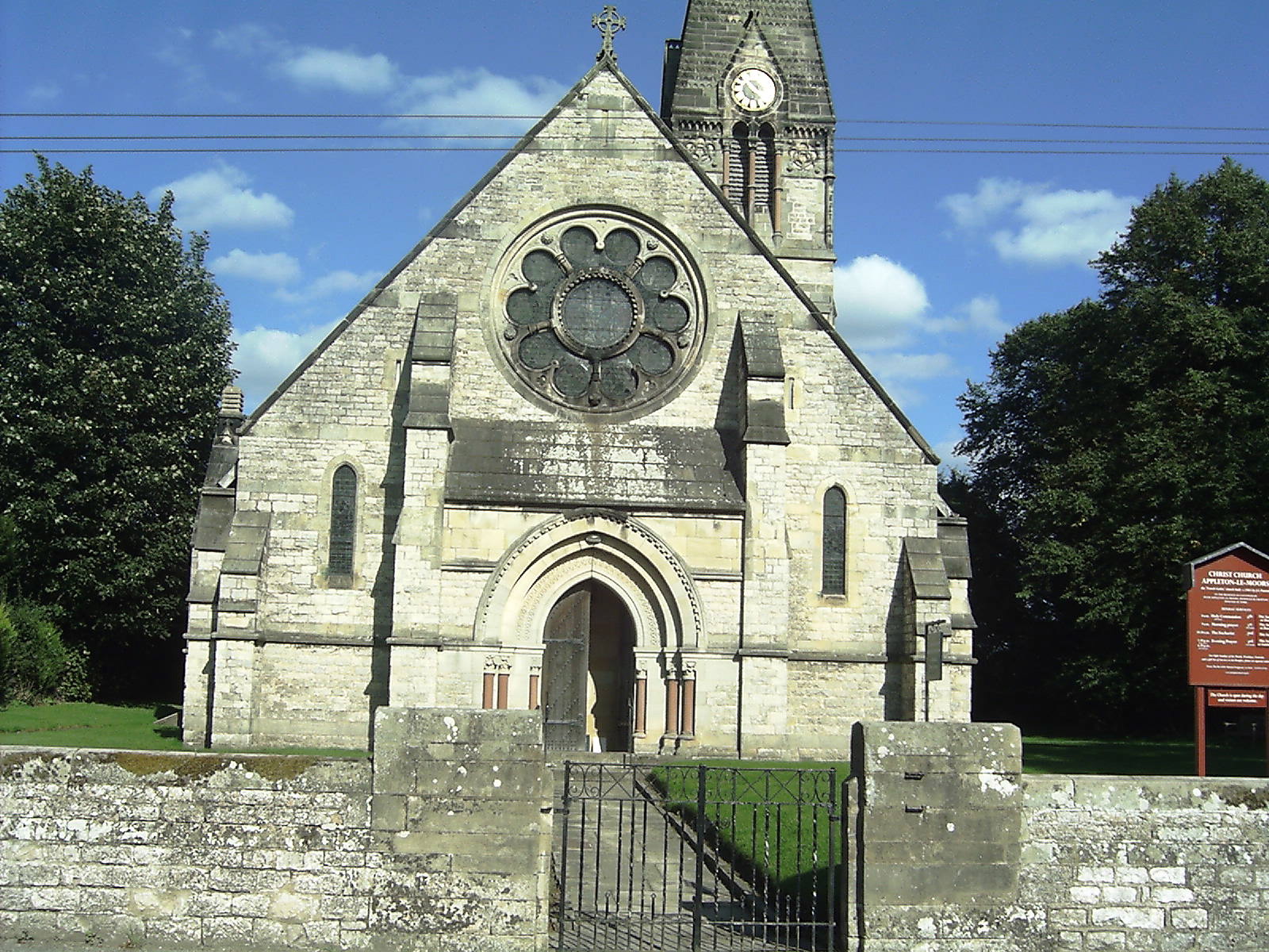
Appleton-le-Moors
Appleton-le-Moors is a village and civil parish in North Yorkshire, England. According to the 2001 census it had a population of 183, reducing to 164 in...

Excalibur Pot
Excalibur Pot is a natural cave in the North York Moors area of England. It is the only major cave known in the North York Moors, and is formed within...
Keldholme Priory
Keldholme Priory was a Cistercian nunnery in Kirkbymoorside, North Yorkshire, England. It was established by one of the Robert de Stutvilles in either...

Sinnington
Sinnington is a village and civil parish in North Yorkshire, England. It is located on the southern boundary of the North York Moors National Park. According...

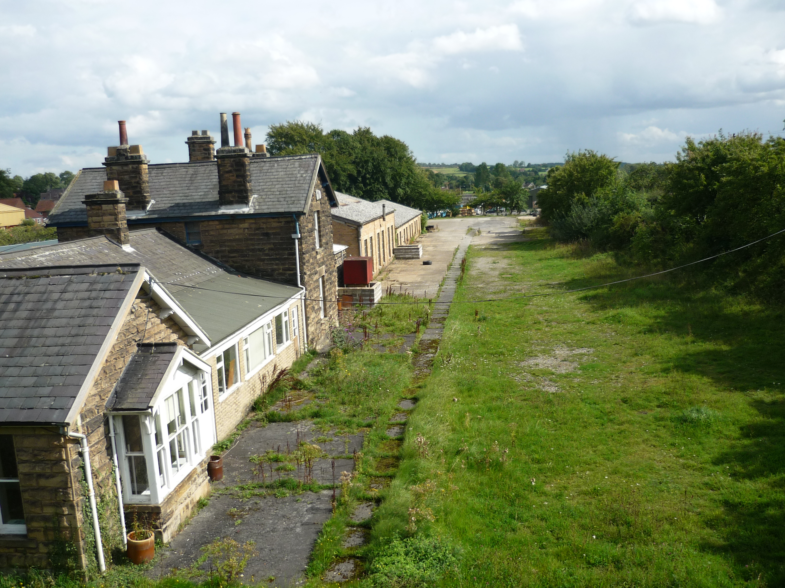
Sinnington railway station
Sinnington railway station was a minor station serving the village of Sinnington in North Yorkshire, England on the former Gilling and Pickering (G&P)...

Kirkbymoorside
Kirkbymoorside () is a market town and civil parish in North Yorkshire, England. It is 25 miles (40.2 km) north of York. It is also midway between Pickering...
Kirbymoorside railway station
Kirbymoorside railway station served the market town of Kirkbymoorside in North Yorkshire, England from 1874 until 1964. == History == It was opened on...
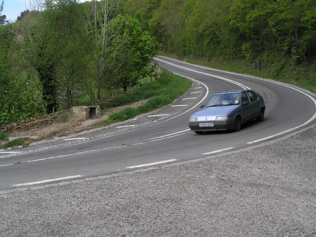
A170 road
The A170 is an A road in North Yorkshire, England that links Thirsk with Scarborough through Hambleton, Helmsley, Kirkbysmoorside, Pickering. The road...
Nearby Amenities
Located within 500m of 54.271139,-0.88832358Have you been to Appleton Common?
Leave your review of Appleton Common below (or comments, questions and feedback).