Allen Moor

Downs, Moorland in Hampshire Hart

England

Allen Moor

The Frog and Wicket, Rotherwick
The Frog and Wicket, Rotherwick Credit: David Howard

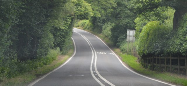
Allen Moor is a picturesque area located in the county of Hampshire, England. It is known for its stunning landscapes, characterized by rolling downs and vast stretches of moorland. The area is situated within the South Downs National Park, which encompasses over 1,600 square kilometers of unspoiled natural beauty.

The downs in Allen Moor are a prominent feature, with their gently sloping hills covered in lush green grass and scattered patches of colorful wildflowers. These downs provide breathtaking views of the surrounding countryside and are a popular spot for outdoor activities such as walking, hiking, and picnicking.

The moorland in Allen Moor is characterized by its heather-covered expanses and scattered patches of gorse bushes. This unique habitat supports a diverse range of wildlife, including various species of birds, insects, and small mammals. The moorland is also home to several rare and protected species, making it a haven for nature enthusiasts and wildlife photographers.

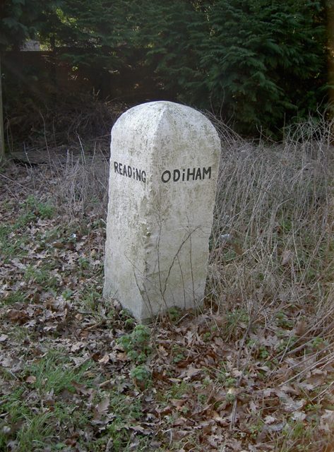
In addition to its natural beauty, Allen Moor is also known for its rich history. The area has evidence of human settlement dating back thousands of years, with archaeological remains such as ancient burial mounds and stone circles. These historical sites offer a glimpse into the area's past and attract visitors interested in exploring its cultural heritage.

Overall, Allen Moor is a captivating destination for those seeking a tranquil escape in the heart of the Hampshire countryside. Its stunning downs and moorland, combined with its rich history, make it an ideal location for outdoor enthusiasts, nature lovers, and history buffs alike.

If you have any feedback on the listing, please let us know in the comments section below.
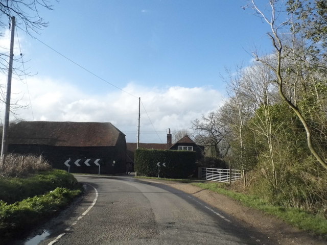
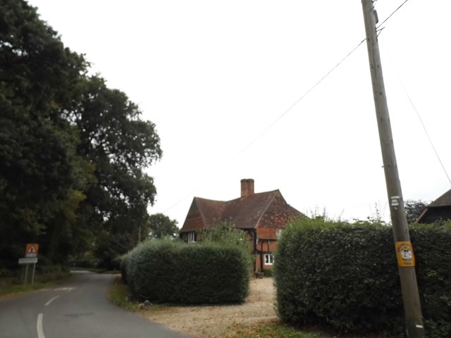
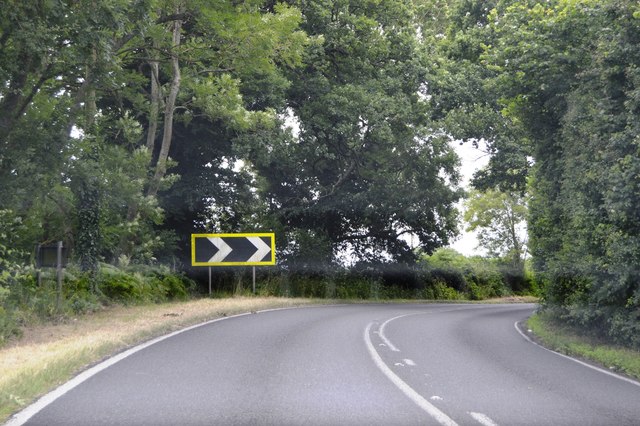
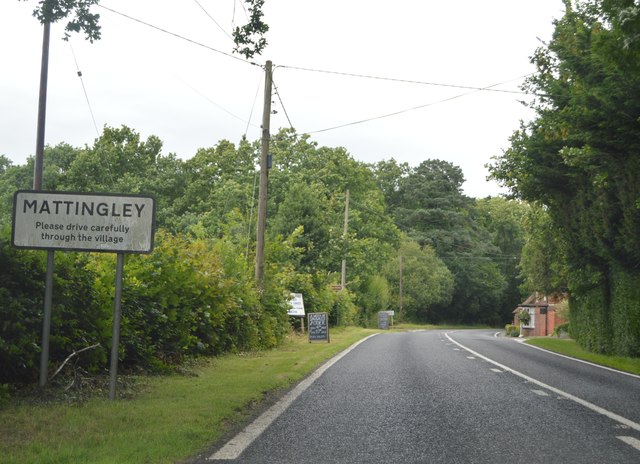
Allen Moor Images

Images are sourced within 2km of 51.313348/-0.96768424 or Grid Reference SU7257. Thanks to Geograph Open Source API. All images are credited.

The Frog and Wicket, Rotherwick
Rotherwick church
Rotherwick church
Frog Lane at the junction of The Street
Bend on Rotherwick Lane
Barn at Lyde Green Farm
Lyde Green farmhouse
Cowfold Lane at the junction of Wedman's Lane
Green by Sheldons Farm, Chandler's Green
Tractor delivery at Willowbank Farm There was another load following him. They had to stop for someone to come and open the gate.
Tractor delivery at Willowbank Farm
There was another load following him. They had to stop for someone to come and open the gate.
Junction at Chandlers Green
Post Horn Lane, Rotherwick
Tracks off Frog Lane, Rotherwick
House entrance on Frog Lane, Lyde Green
B3349, Reading Rd The B3349 runs 27 miles from Alton <a href="https://www.geograph.org.uk/photo/5212600">SU7038 : Junction of A339 & B3349</a> to Wokingham.
<span class="nowrap"><a title="http://www.sabre-roads.org.uk/wiki/index.php?title=B3349" rel="nofollow ugc noopener" href="http://www.sabre-roads.org.uk/wiki/index.php?title=B3349">Link</a><img style="margin-left:2px;" alt="External link" title="External link - shift click to open in new window" src="https://s1.geograph.org.uk/img/external.png" width="10" height="10"/></span>
B3349, Reading Rd
The B3349 runs 27 miles from Alton SU7038 : Junction of A339 & B3349 to Wokingham. LinkExternal link
Entering Mattingley, B3349 The B3349 runs 27 miles from Alton <a href="https://www.geograph.org.uk/photo/5212600">SU7038 : Junction of A339 & B3349</a> to Wokingham.
<span class="nowrap"><a title="http://www.sabre-roads.org.uk/wiki/index.php?title=B3349" rel="nofollow ugc noopener" href="http://www.sabre-roads.org.uk/wiki/index.php?title=B3349">Link</a><img style="margin-left:2px;" alt="External link" title="External link - shift click to open in new window" src="https://s1.geograph.org.uk/img/external.png" width="10" height="10"/></span>
Entering Mattingley, B3349
The B3349 runs 27 miles from Alton SU7038 : Junction of A339 & B3349 to Wokingham. LinkExternal link
B3349 The B3349 runs 27 miles from Alton <a href="https://www.geograph.org.uk/photo/5212600">SU7038 : Junction of A339 & B3349</a> to Wokingham.
<span class="nowrap"><a title="http://www.sabre-roads.org.uk/wiki/index.php?title=B3349" rel="nofollow ugc noopener" href="http://www.sabre-roads.org.uk/wiki/index.php?title=B3349">Link</a><img style="margin-left:2px;" alt="External link" title="External link - shift click to open in new window" src="https://s1.geograph.org.uk/img/external.png" width="10" height="10"/></span>
B3349
The B3349 runs 27 miles from Alton SU7038 : Junction of A339 & B3349 to Wokingham. LinkExternal link
Old Milestone by the B3349, south of Mattingley, Rotherwick Parish Carved stone post by the B3349, in parish of ROTHERWICK (HART District), near Stoker's Farm, partially buried 50 metres south of entrance to Stokers Farm on opposite side (DANGEROUS), on West side of road. Hook pillar, erected by the Basingstoke, Hartfordbridge & Blackwater (and Odiham) turnpike trust in the 19th century. 

Inscription reads:-
: TO / READING / (11) : : TO / ODIHAM / (4) : 

Milestone Society National ID: HA_REOD11.
Old Milestone by the B3349, south of Mattingley, Rotherwick Parish
Carved stone post by the B3349, in parish of ROTHERWICK (HART District), near Stoker's Farm, partially buried 50 metres south of entrance to Stokers Farm on opposite side (DANGEROUS), on West side of road. Hook pillar, erected by the Basingstoke, Hartfordbridge & Blackwater (and Odiham) turnpike trust in the 19th century. Inscription reads:- : TO / READING / (11) : : TO / ODIHAM / (4) : Milestone Society National ID: HA_REOD11.
Old Milestone by the B3349, Reading Road, Mattingley Green Carved stone post by the B3349, in parish of MATTINGLEY (HART District), Mattingley Green, North of Mattingley village, at junction to Hazley, on wide grass verge, on West side of road. Hook pillar, erected by the Basingstoke, Hartfordbridge & Blackwater (and Odiham) turnpike trust in the 19th century. 

Inscription reads:-
: READiNG / 10 / MILES : : ODIHAM / (5) / (MILES) :

Grade II listed.  
List Entry Number: 1243658 <span class="nowrap"><a title="https://historicengland.org.uk/listing/the-list/list-entry/1243658" rel="nofollow ugc noopener" href="https://historicengland.org.uk/listing/the-list/list-entry/1243658">Link</a><img style="margin-left:2px;" alt="External link" title="External link - shift click to open in new window" src="https://s1.geograph.org.uk/img/external.png" width="10" height="10"/></span>

Milestone Society National ID: HA_REOD10.
Old Milestone by the B3349, Reading Road, Mattingley Green
Carved stone post by the B3349, in parish of MATTINGLEY (HART District), Mattingley Green, North of Mattingley village, at junction to Hazley, on wide grass verge, on West side of road. Hook pillar, erected by the Basingstoke, Hartfordbridge & Blackwater (and Odiham) turnpike trust in the 19th century. Inscription reads:- : READiNG / 10 / MILES : : ODIHAM / (5) / (MILES) : Grade II listed. List Entry Number: 1243658 LinkExternal link Milestone Society National ID: HA_REOD10.
Show me another place!

Allen Moor is located at Grid Ref: SU7257 (Lat: 51.313348, Lng: -0.96768424)

Administrative County: Hampshire

District: Hart

Police Authority: Hampshire

What 3 Words

///zest.polite.eclipses. Near Hook, Hampshire

Nearby Locations

Black Wood Allen Moor

Related Wikis

Chandlers Green

Chandlers Green is a hamlet in the civil parish of Mattingley in the Hart District of Hampshire, England. Its nearest town is Hook approximately 2.5 miles...

Mattingley

Mattingley is a village and large civil parish in Hampshire, England. The village lies on the Reading road between the town of Hook and Reading. The village...

Rotherwick

Rotherwick is a village and civil parish in the Hart district of Hampshire, England. == Extent and layout == It is briefly limited to the east and the...

Hound Green

Hound Green is a village in the Hart District of Hampshire, England. It is in the civil parish of Mattingley. Its nearest town is Hook approximately 3...

Hartley Wespall

Hartley Wespall is a civil parish in the Basingstoke and Deane district of Hampshire, England. It is near the larger village of Hook, which lies approximately...

West Green, Hampshire

West Green is a village in the Hartley Wintney parish of Hampshire, England. The villages lies 2 miles (3 km) from Hook, its nearest town.

Highfield House, Heckfield

Highfield House, also known as Highfield Park, is an early 18th-century Queen Anne style country house in Heckfield, Hampshire, England. A Grade II* listed...

West Green House

West Green House is an 18th-century country house and garden at West Green in Hartley Wintney in the English county of Hampshire. The house is listed Grade...

Nearby Amenities

Located within 500m of 51.313348,-0.96768424
Power: tower
Source: bing
Lat/Long: 51.3090717/-0.9673726
Power: tower
Source: bing
Lat/Long: 51.3111687/-0.9699806
Power: tower
Source: bing
Lat/Long: 51.3122114/-0.9740975
Money's Farm
Landuse: farm
Note Retag: CS #48756035
Source: OS_OpenData_StreetView
Lat/Long: 51.317088/-0.9683585
Barrier: stile
Lat/Long: 51.3174819/-0.9650441
The data included in this document is from www.openstreetmap.org. The data is made available under ODbL.

Have you been to Allen Moor?

Leave your review of Allen Moor below (or comments, questions and feedback).