Deerslaughter Plain

Downs, Moorland in Hampshire Havant

England

Deerslaughter Plain

Open space beside Grassmere Way
Open space beside Grassmere Way Credit: David Martin

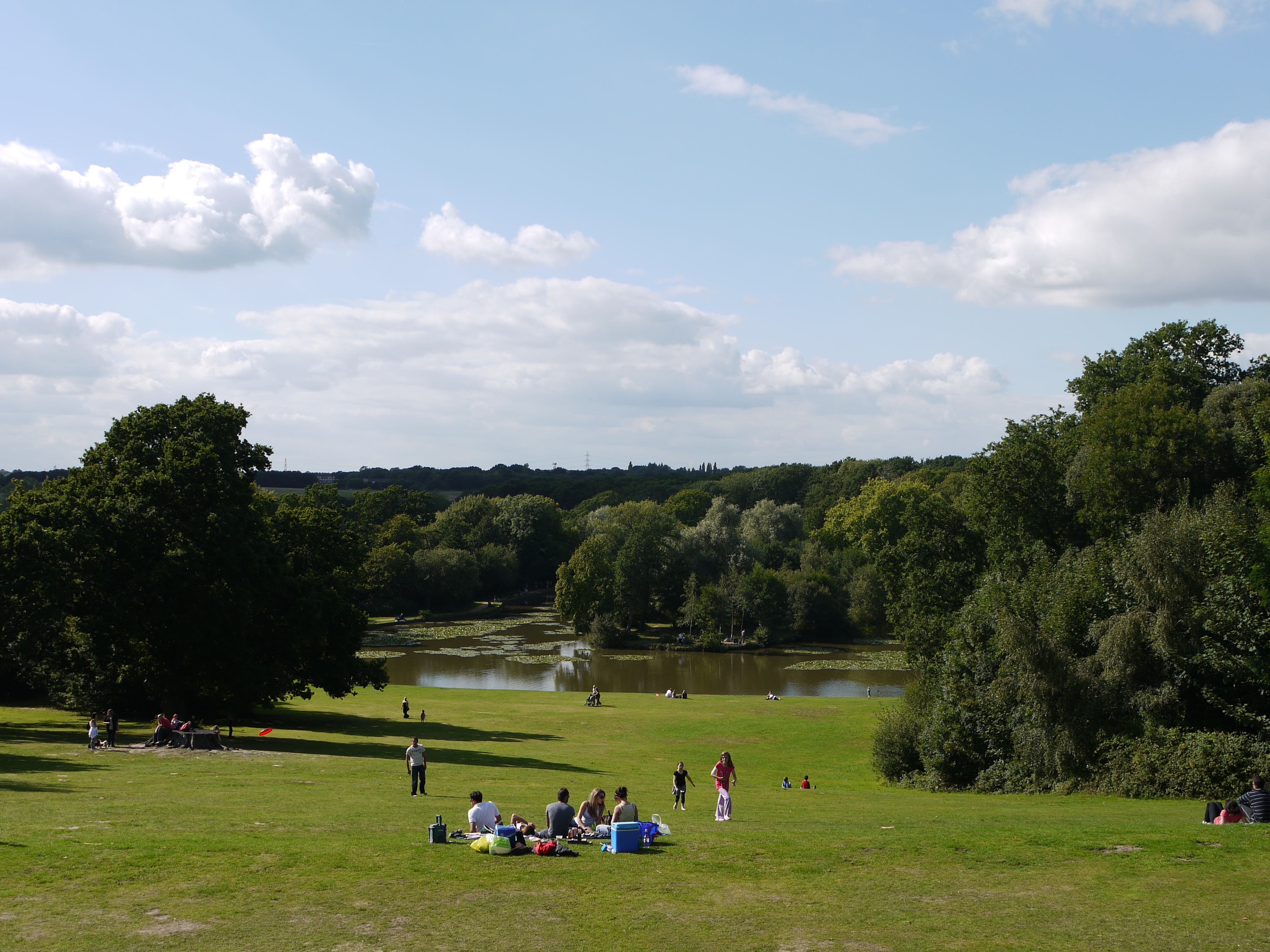
Deerslaughter Plain, located in Hampshire, England, is a vast expanse of picturesque countryside encompassing downs and moorland. The plain stretches over several square miles and is renowned for its stunning natural beauty and diverse wildlife.

The terrain of Deerslaughter Plain is characterized by rolling hills covered in lush green grass, interspersed with patches of heather and gorse. The area is home to a variety of plant species, including wildflowers such as primroses, purple heather, and yellow gorse, creating a vibrant and colorful landscape.

The plain is teeming with wildlife, with deer being the most prominent inhabitants. Fallow deer can often be spotted roaming freely across the open grasslands, adding an ethereal charm to the area. Birdwatchers will also be delighted by the presence of various avian species, including skylarks, lapwings, and kestrels.

Deerslaughter Plain offers visitors a range of outdoor activities to enjoy. Hiking and walking trails crisscross the area, allowing visitors to explore its natural splendor at their own pace. The plain is also popular among horse riders who can traverse the open spaces and enjoy the panoramic views.

The tranquility and unspoiled nature of Deerslaughter Plain make it a favored destination for nature lovers and those seeking a peaceful retreat. The vastness of the landscape provides an escape from the hustle and bustle of modern life, offering a chance to immerse oneself in the beauty of the Hampshire countryside.

If you have any feedback on the listing, please let us know in the comments section below.

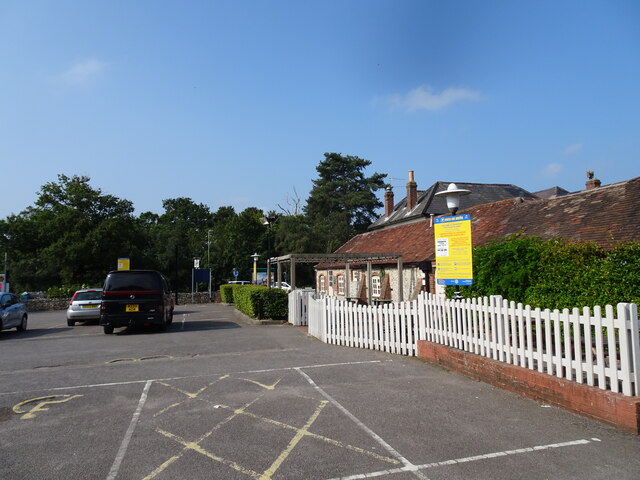
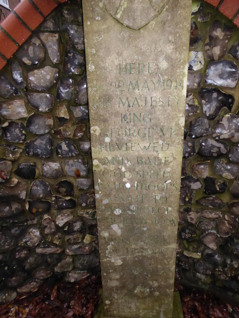
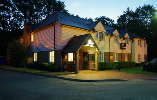
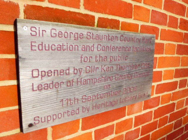
Deerslaughter Plain Images

Images are sourced within 2km of 50.878084/-0.99073309 or Grid Reference SU7109. Thanks to Geograph Open Source API. All images are credited.

Open space beside Grassmere Way
Havant Rowlands Castle The view of the Travelodge in Whichers Gate Road, Rowlands Castle.
Havant Rowlands Castle
The view of the Travelodge in Whichers Gate Road, Rowlands Castle.
Harvester Pub The view of the Rowlands Castle Pub.
Harvester Pub
The view of the Rowlands Castle Pub.
Houses in Anvil Close A typical street scene in this neighbourhood of Cowplain.
Houses in Anvil Close
A typical street scene in this neighbourhood of Cowplain.
2016: a year on Geograph (Day 53) The King's Stone, Rowlands. Castle<span class="nowrap"><a title="http://www3.hants.gov.uk/longdistance/staunton-way/rowlands-castle-to-staunton.htm" rel="nofollow ugc noopener" href="http://www3.hants.gov.uk/longdistance/staunton-way/rowlands-castle-to-staunton.htm">Link</a><img style="margin-left:2px;" alt="External link" title="External link - shift click to open in new window" src="https://s1.geograph.org.uk/img/external.png" width="10" height="10"/></span>
2016: a year on Geograph (Day 53)
The King's Stone, Rowlands. CastleLinkExternal link
King's Stone Repair Commemoration Plaque Also see <a title="https://www.geograph.org.uk/photo/4836030" href="https://www.geograph.org.uk/photo/4836030">Link</a>
King's Stone Repair Commemoration Plaque
Also see Link
Inscription on The King's Stone Also see <a title="https://www.geograph.org.uk/photo/4836030" href="https://www.geograph.org.uk/photo/4836030">Link</a>
Inscription on The King's Stone
Also see Link
The Upper Lake at Staunton Country Park Not much left of the lake now, but a very peaceful place away from the main gardens.
The Upper Lake at Staunton Country Park
Not much left of the lake now, but a very peaceful place away from the main gardens.
The Upper Lake at Staunton Country Park
East Hampshire : The A3(M) Looking along the A3(M) heading through East Hampshire.
East Hampshire : The A3(M)
Looking along the A3(M) heading through East Hampshire.
Redhill Rd
Redhill Rd
Redhill Rd
Redhill Rd
Travelodge, 1 Whichers Gate Road, Rowlands Castle, near Portsmouth, Hants This is the Rowlands Castle Travelodge, part of a chain of economy hotels. Photographed early in the morning.
Travelodge, 1 Whichers Gate Road, Rowlands Castle, near Portsmouth, Hants
This is the Rowlands Castle Travelodge, part of a chain of economy hotels. Photographed early in the morning.
New Year's Eve at Staunton Country Park (within the Walled Garden)
New Year's Eve at Staunton Country Park
(within the Walled Garden)
Plaque on the old barn at Sir George Staunton Country Park
The Lily Pond, Sir George Staunton Country Park
2016: a year on Geograph (Day 24) Looking from The Staunton Arms towards Rowlands Castle War Memorial
2016: a year on Geograph (Day 24)
Looking from The Staunton Arms towards Rowlands Castle War Memorial
Looking from Riders Lane into Bramdean Drive The roads in Leigh Park follow two naming patterns, both of which are ilustrated here. Riders Lane was one of the original tracks through the grounds of the stately home after which the estate is named. All roads built after the purchase of the estate by Portsmouth Housing Corporation in the late forties are named after Hampshire villages. The large building you can see is St Michael's RC Church <span class="nowrap"><a title="http://www.stmichael-leighpark.org.uk/" rel="nofollow ugc noopener" href="http://www.stmichael-leighpark.org.uk/">Link</a><img style="margin-left:2px;" alt="External link" title="External link - shift click to open in new window" src="https://s1.geograph.org.uk/img/external.png" width="10" height="10"/></span>
Looking from Riders Lane into Bramdean Drive
The roads in Leigh Park follow two naming patterns, both of which are ilustrated here. Riders Lane was one of the original tracks through the grounds of the stately home after which the estate is named. All roads built after the purchase of the estate by Portsmouth Housing Corporation in the late forties are named after Hampshire villages. The large building you can see is St Michael's RC Church LinkExternal link
Show me another place!

Deerslaughter Plain is located at Grid Ref: SU7109 (Lat: 50.878084, Lng: -0.99073309)

Administrative County: Hampshire

District: Havant

Police Authority: Hampshire

What 3 Words

///demotion.wiser.suffice. Near Havant, Hampshire

Related Wikis

Staunton Country Park

Staunton Country Park is a listed Regency landscaped parkland and forest encompassing approximately 1,000 acres (4.0 km2) in Hampshire, England.An ornamental...

Leigh Park

Leigh Park is a large suburb (population 27,500) of Havant, in Hampshire, England. It currently forms the bulk or whole of four electoral wards: Battins...

Park Community School

Park Community School is a coeducational community secondary school, located in the Leigh Park area of Havant in the English county of Hampshire.It is...

Havant Academy

Havant Academy is a mixed secondary school located in the Leigh Park area of Havant in the English county of Hampshire. The school is situated at the edge...

Portsmouth F.C. Reserves and Academy

Portsmouth F.C. XI and Academy consist of the reserve and academy footballers of Portsmouth F.C. == Portsmouth XI == Previously called Portsmouth Reserves...

Clanfield F.C. (Hampshire)

Clanfield Football Club are a football club based in Havant, England. They play in the Wessex League Division One. The club is affiliated to the Hampshire...

Portsmouth F.C. Women

Portsmouth Women, formerly known as "Portsmouth Ladies", is a semi professional women's football club for the south coast city of Portsmouth in Hampshire...

Havant & Waterlooville F.C.

Havant & Waterlooville Football Club is a professional football club based in Havant, Hampshire, England. The club participates in the National League...

Nearby Amenities

Located within 500m of 50.878084,-0.99073309
Turning Circle
Lat/Long: 50.8753764/-0.9889602
Bus Stop
Durford Court
Bus: yes
Naptan AtcoCode: 1900HA070286
Naptan Bearing: S
Naptan CommonName: Durford Court
Naptan Crossing: Mewsey Court
Naptan NaptanCode: hamgmdap
Naptan PlusbusZoneRef: HAVANT
Naptan Street: Swanmore Road
Naptan Verified: no
Public Transport: platform
Source: naptan_import
Lat/Long: 50.8764239/-0.9923415
Bus Stop
Durford Court
Bus: yes
Naptan AtcoCode: 1900HA070287
Naptan Bearing: NW
Naptan CommonName: Durford Court
Naptan Crossing: Mewsey Court
Naptan NaptanCode: hamgmdag
Naptan PlusbusZoneRef: HAVANT
Naptan Street: Swanmore Road
Naptan Verified: no
Public Transport: platform
Source: naptan_import
Lat/Long: 50.87666/-0.9926064
Bus Stop
Bucklers Court
Bus: yes
Naptan AtcoCode: 1900HA070288
Naptan Bearing: SE
Naptan CommonName: Bucklers Court
Naptan Crossing: Harbridge Court
Naptan NaptanCode: hamgmapj
Naptan PlusbusZoneRef: HAVANT
Naptan Street: Swanmore Road
Naptan Verified: no
Public Transport: platform
Source: naptan_import
Lat/Long: 50.8787477/-0.9938123
Bus Stop
Bucklers Court
Bus: yes
Naptan AtcoCode: 1900HA070289
Naptan Bearing: NW
Naptan CommonName: Bucklers Court
Naptan Crossing: Bucklers Court
Naptan NaptanCode: hamgmapa
Naptan PlusbusZoneRef: HAVANT
Naptan Street: Swanmore Road
Naptan Verified: no
Public Transport: platform
Source: naptan_import
Lat/Long: 50.8789848/-0.994191
Bus Stop
Beaulieu Avenue
Bus: yes
Naptan AtcoCode: 1900HAA10014
Naptan Bearing: N
Naptan CommonName: Beaulieu Avenue
Naptan Crossing: Beaulieu Avenue
Naptan NaptanCode: hamjmdpt
Naptan PlusbusZoneRef: HAVANT
Naptan Street: Swanmore Road
Naptan Verified: no
Public Transport: platform
Source: naptan_import
Lat/Long: 50.8740531/-0.9916962
Addr City: Havant
Addr Country: GB
Addr Street: Strouden Court
Addr Village: Warren Park
Disused Amenity: pharmacy
Note: As at 02.08.2018 this pharmacy is closed and builders are doing work inside. I am unsure if the pharmacy will return.
Lat/Long: 50.876549/-0.9973356
Post Box
Brand: Royal Mail
Brand Wikidata: Q638098
Brand Wikipedia: en:Royal Mail
Operator: Royal Mail
Operator Wikidata: Q638098
Post Box Type: lamp
Ref: PO9 145D
Royal Cypher: EIIR
Royal Cypher Wikidata: Q33102113
Lat/Long: 50.8765561/-0.9925741
Post Box
Brand: Royal Mail
Brand Wikidata: Q638098
Brand Wikipedia: en:Royal Mail
Operator: Royal Mail
Operator Wikidata: Q638098
Post Box Type: lamp
Ref: PO9 24D
Royal Cypher: EIIR
Royal Cypher Wikidata: Q33102113
Lat/Long: 50.8793819/-0.9967348
Fast Food
Golden Boat
Addr City: Havant
Addr Country: GB
Addr Housenumber: 9
Addr Postcode: PO9 4JX
Addr Street: Strouden Court
Addr Village: Warren Park
Cuisine: chinese_and_English
Delivery: yes
Opening Hours: Mo 17:00-22:30; We-Th 17:00-22:30; Fr-Sa 17:00-23:00; Su 17:00-22:30
Outdoor Seating: no
Phone: +44 2392 482792
Smoking: no
Takeaway: only
Lat/Long: 50.8765406/-0.9972592
Kindergarten
St Clares Preschool
Start Date: 1968
Lat/Long: 50.8764818/-0.9970983
The data included in this document is from www.openstreetmap.org. The data is made available under ODbL.

Have you been to Deerslaughter Plain?

Leave your review of Deerslaughter Plain below (or comments, questions and feedback).