Aldby Field
Downs, Moorland in Yorkshire Ryedale
England
Aldby Field
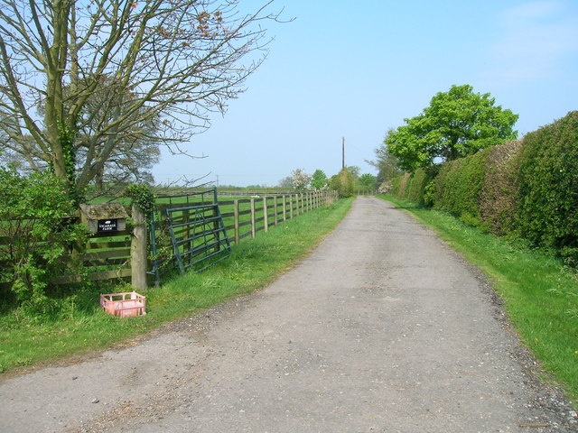
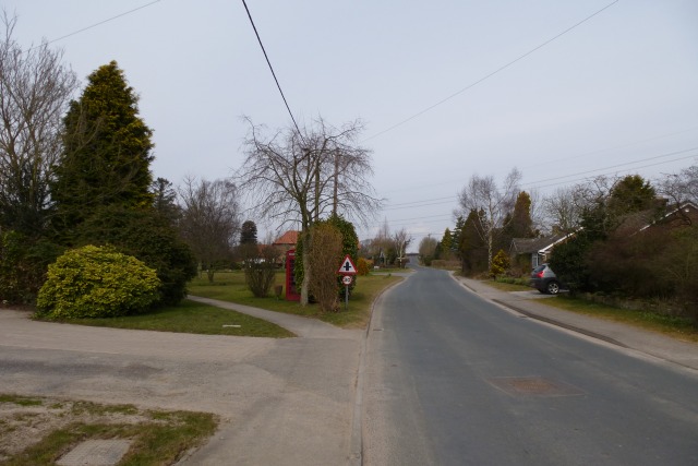
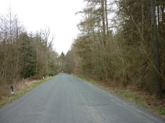
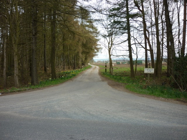
Aldby Field is a picturesque area located in Yorkshire, England. Nestled amidst the stunning Yorkshire Downs and Moorland, it offers visitors a unique blend of natural beauty and historical significance. With its rolling green hills, vibrant meadows, and enchanting woodlands, Aldby Field is a haven for nature lovers and outdoor enthusiasts alike.
The field is known for its rich biodiversity, boasting a wide array of plant and animal species. Visitors can expect to spot various bird species, including the elusive red grouse and the majestic golden eagle, as well as other wildlife such as hares, deer, and even the occasional fox.
Aside from its natural wonders, Aldby Field also holds historical significance. The area is home to remnants of ancient settlements and burial mounds, dating back thousands of years. These archaeological sites offer a glimpse into the region's past and provide a fascinating insight into the lives of its early inhabitants.
Visitors to Aldby Field can enjoy a range of activities, including hiking, birdwatching, and picnicking. The field offers well-maintained walking trails that meander through its diverse landscapes, allowing visitors to immerse themselves in the beauty of the surroundings.
Aldby Field is easily accessible, with ample parking facilities and nearby accommodation options. Whether you are looking for a peaceful retreat in nature or a chance to explore Yorkshire's rich heritage, Aldby Field is a must-visit destination that promises to leave visitors awe-inspired by its natural and historical wonders.
If you have any feedback on the listing, please let us know in the comments section below.
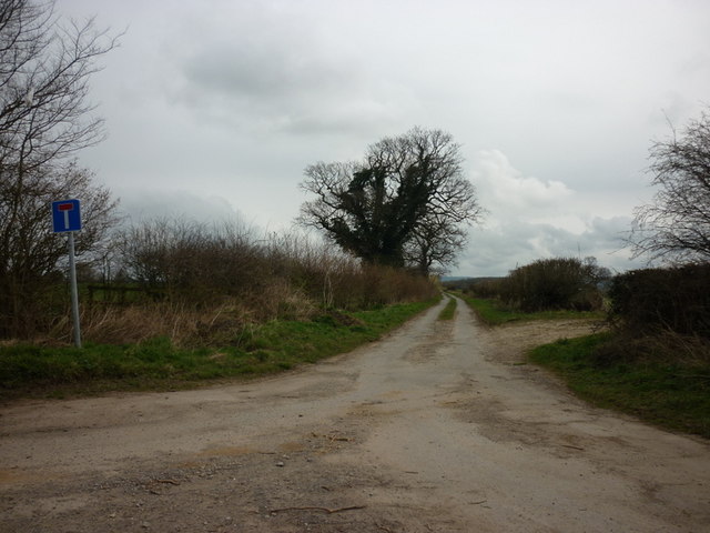
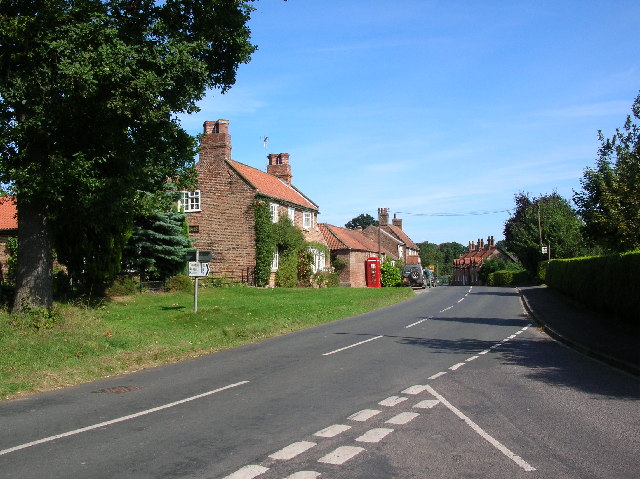
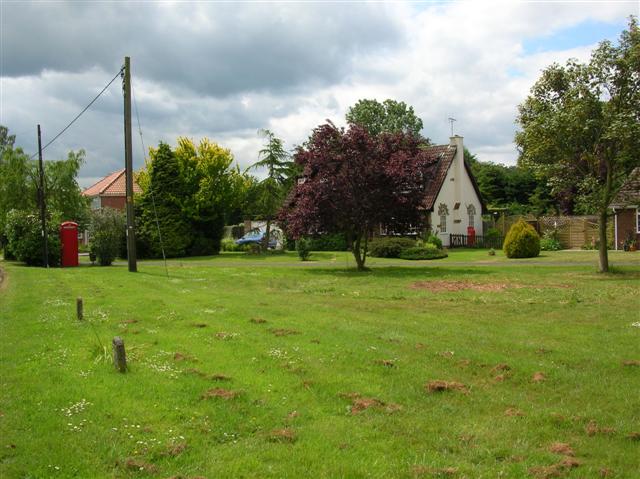
Aldby Field Images
Images are sourced within 2km of 54.021959/-0.926208 or Grid Reference SE7058. Thanks to Geograph Open Source API. All images are credited.


Aldby Field is located at Grid Ref: SE7058 (Lat: 54.021959, Lng: -0.926208)
Division: North Riding
Administrative County: North Yorkshire
District: Ryedale
Police Authority: North Yorkshire
What 3 Words
///foreheads.reassured.danger. Near Stamford Bridge, East Yorkshire
Nearby Locations
Related Wikis
Sand Hutton
Sand Hutton is a village and civil parish which forms the larger part of the Claxton and Sand Hutton grouped parish council, in North Yorkshire, England...

Sand Hutton Miniature Railway
The Sand Hutton Miniature Railway was a miniature gauge estate railway serving the estate of Sir Robert Walker, the Fourth Baronet of Sand Hutton, Yorkshire...
Claxton, North Yorkshire
Claxton is a village and part of the Claxton & Sand Hutton civil parish in North Yorkshire, England. It is near the A64 road and 8 miles (13 km) north...

Upper Helmsley
Upper Helmsley is a village and civil parish in the Ryedale district of North Yorkshire, England, about seven miles east of York. The population taken...
Bossall
Bossall is a hamlet in North Yorkshire, England with fewer than 100 residents. The village was part of the Ryedale district between 1974 and 2023. It is...

A64 road
The A64 is a major road in North and West Yorkshire, England, which links Leeds, York and Scarborough. The A64 starts as the A64(M) ring road motorway...

Aldby Park
Aldby Park is a country estate in the village of Buttercrambe near the village of Stamford Bridge in the East Riding of Yorkshire, England. The house,...

Sand Hutton Light Railway
The Sand Hutton Light Railway was a minimum gauge estate railway serving the estate of Sir Robert Walker, the Fourth Baronet of Sand Hutton, Yorkshire...
Have you been to Aldby Field?
Leave your review of Aldby Field below (or comments, questions and feedback).