Camp Down

Downs, Moorland in Hampshire Havant

England

Camp Down

No 24 Cross Way - Havant Cut Benchmark on North face of house at No 24 Cross Way, Havant. The Cut Mark is on the North West angle of the building
Link to close up photo of benchmark below
<a href="https://www.geograph.org.uk/photo/7557716">SU7106 : Benchmark - No 24 Cross Way - Havant</a>
No 24 Cross Way - Havant Credit: Tez Exley

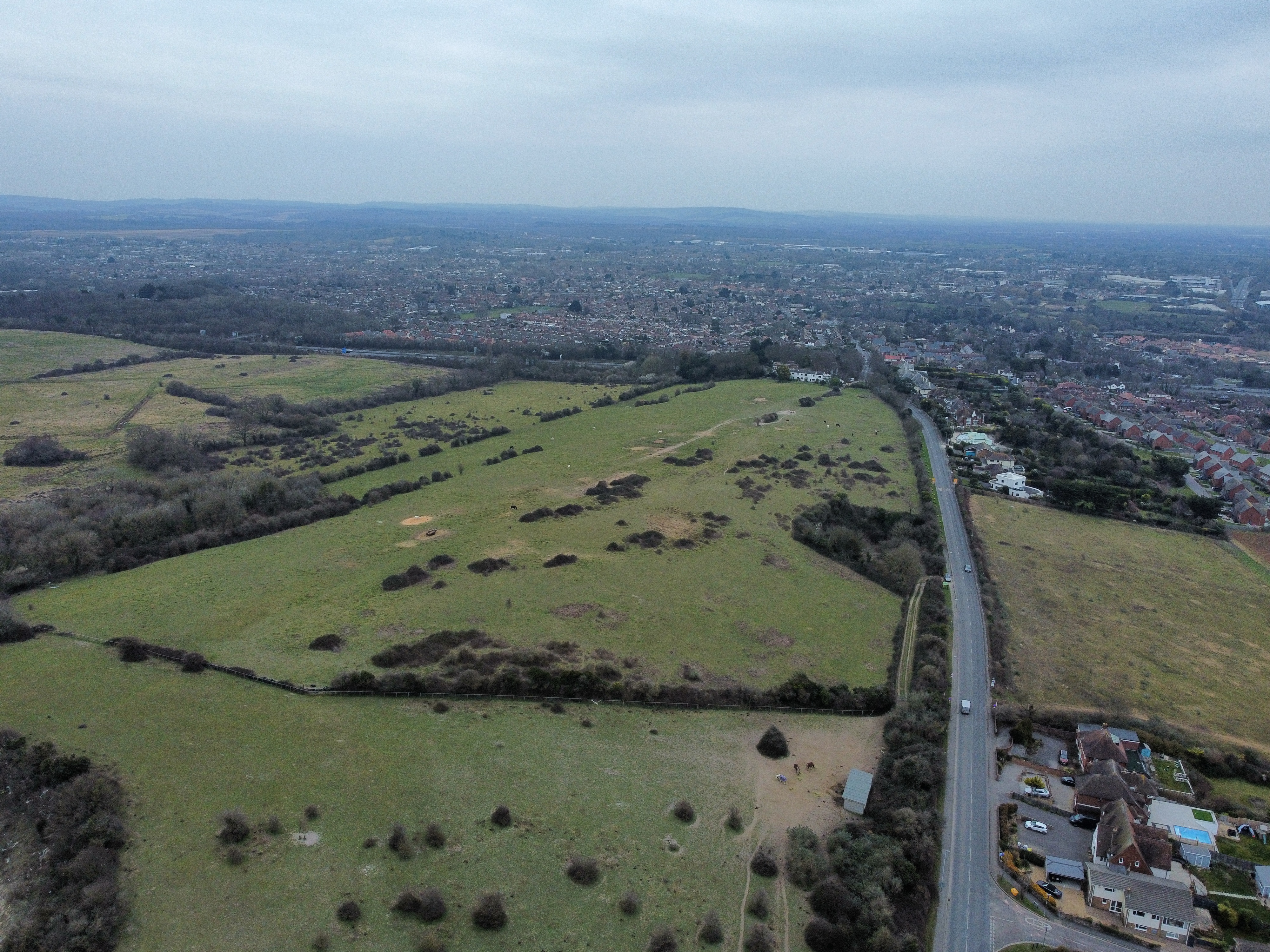
Camp Down, Hampshire is a picturesque area located in the county of Hampshire, England. It is situated on the southern edge of the South Downs National Park, offering breathtaking views of the surrounding countryside. This area is known for its stunning downs, moorland, and diverse wildlife, making it a popular destination for nature enthusiasts and hikers.

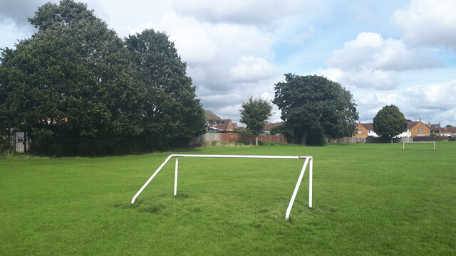
The downs in Camp Down are characterized by their rolling hills and expansive open spaces, providing ample opportunity for outdoor activities such as walking, cycling, and horse riding. The landscape is adorned with vibrant wildflowers during the summer months, creating a colorful and vibrant atmosphere.

The moorland in Camp Down is a unique feature of the area, with its rugged terrain and heather-covered hills. It provides a habitat for a variety of bird species, including rare and endangered ones. Birdwatchers flock to the area to catch a glimpse of these feathered creatures in their natural habitat.

Camp Down is also home to a range of wildlife, including deer, foxes, and badgers. The area is designated as a Site of Special Scientific Interest (SSSI) due to its importance for conservation and biodiversity.

Visitors to Camp Down can explore the numerous walking trails and bridleways, taking in the stunning views of the Hampshire countryside and beyond. There are also several picnic spots and viewpoints where visitors can relax and soak in the tranquil atmosphere.

Overall, Camp Down, Hampshire offers a perfect blend of natural beauty, wildlife, and recreational activities, making it an ideal destination for those seeking a peaceful retreat in the heart of the English countryside.

If you have any feedback on the listing, please let us know in the comments section below.
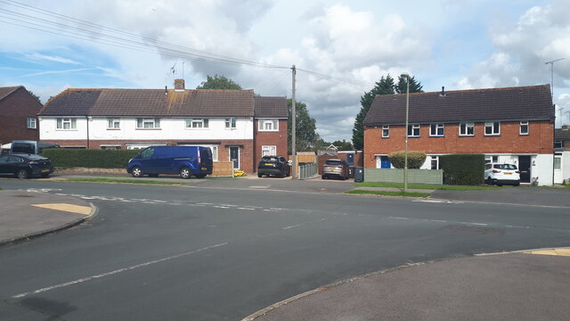
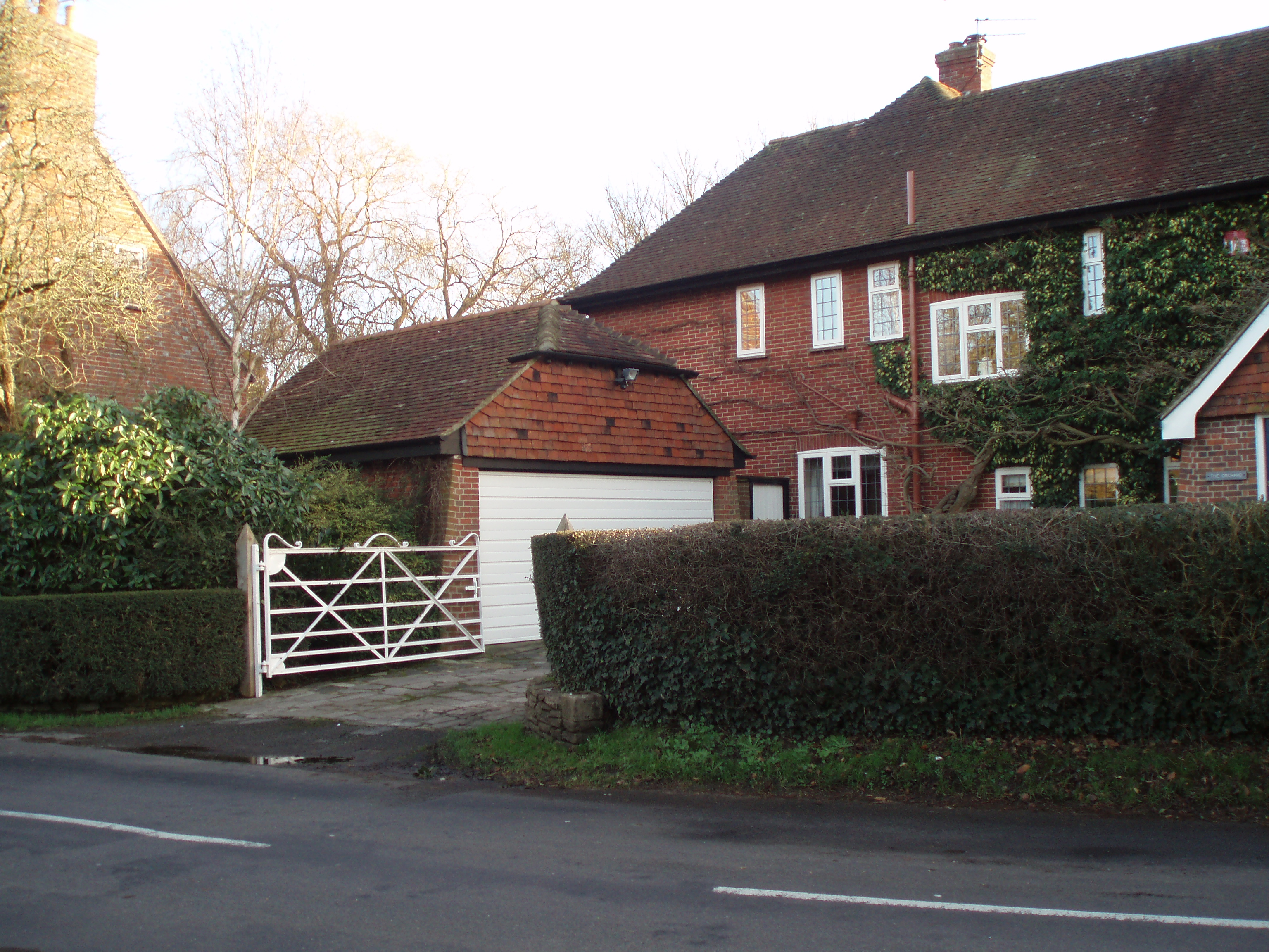
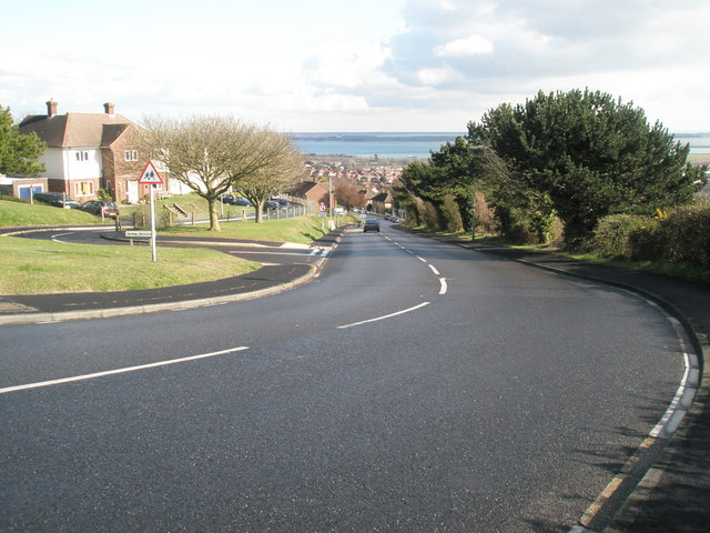
Camp Down Images

Images are sourced within 2km of 50.85527/-1.0192986 or Grid Reference SU6906. Thanks to Geograph Open Source API. All images are credited.

No 24 Cross Way - Havant Cut Benchmark on North face of house at No 24 Cross Way, Havant. The Cut Mark is on the North West angle of the building
Link to close up photo of benchmark below
<a href="https://www.geograph.org.uk/photo/7557716">SU7106 : Benchmark - No 24 Cross Way - Havant</a>
No 24 Cross Way - Havant
Cut Benchmark on North face of house at No 24 Cross Way, Havant. The Cut Mark is on the North West angle of the building Link to close up photo of benchmark below SU7106 : Benchmark - No 24 Cross Way - Havant
Benchmark - No 24 Cross Way - Havant Cut Benchmark on North face of house at No 24 Cross Way, Havant. The Cut Mark is on the North West angle of the building
Link to street view of property below:
<a href="https://www.geograph.org.uk/photo/7557714">SU7106 : No 24 Cross Way - Havant</a>
Benchmark - No 24 Cross Way - Havant
Cut Benchmark on North face of house at No 24 Cross Way, Havant. The Cut Mark is on the North West angle of the building Link to street view of property below: SU7106 : No 24 Cross Way - Havant
Houses in Parkside
Houses in Parkside
Junction of Mitchell Road and Newbarn Road
A3(M) with distant view across Langstone Harbour
Play area beside Scratchface Lane
Playing field north of Scratchface Lane
Road works in Woodstock Road
Road works at the junction of Talbot Road and Talbot Close
Footbridge over A27 at Brockhampton
Steam train going under Bedhampton Railway Bridge
Pullman coaches passing the 10:13 to Littlehampton
2016: a year on Geograph (Day 1) New Year's Day in Woodstock Road
I'm sure someone's going to say this is doctored: it is not. There really have been daffs out in our road for quite a while.
2016: a year on Geograph (Day 1)
New Year's Day in Woodstock Road I'm sure someone's going to say this is doctored: it is not. There really have been daffs out in our road for quite a while.
2016: a year on Geograph (Day 3) Bedhampton Gates
Only open for 17 minutes an hour, so many a Bedhampton resident has spent up to 25 minutes on the wrong side of where they want to be!
2016: a year on Geograph (Day 3)
Bedhampton Gates Only open for 17 minutes an hour, so many a Bedhampton resident has spent up to 25 minutes on the wrong side of where they want to be!
2016: a year on Geograph (Day 4) Junction of  Hooks Lane and Talbot Road
2016: a year on Geograph (Day 4)
Junction of Hooks Lane and Talbot Road
2016: a year on Geograph (Day 8) My 120,000th image
My first ever image was a cricket ground <a title="https://www.geograph.org.uk/photo/569781" href="https://www.geograph.org.uk/photo/569781">Link</a> and I have taken many since to mark passing 5,000 or 10,000 multiples: <a title="https://www.geograph.org.uk/photo/930308" href="https://www.geograph.org.uk/photo/930308">Link</a>  <a title="https://www.geograph.org.uk/photo/1750707" href="https://www.geograph.org.uk/photo/1750707">Link</a> <a title="https://www.geograph.org.uk/photo/2034398" href="https://www.geograph.org.uk/photo/2034398">Link</a> <a title="https://www.geograph.org.uk/photo/2658917" href="https://www.geograph.org.uk/photo/2658917">Link</a> <a title="https://www.geograph.org.uk/photo/2854165" href="https://www.geograph.org.uk/photo/2854165">Link</a> 
<a title="https://www.geograph.org.uk/photo/3037720" href="https://www.geograph.org.uk/photo/3037720">Link</a> <a title="https://www.geograph.org.uk/photo/3211614" href="https://www.geograph.org.uk/photo/3211614">Link</a> <a title="https://www.geograph.org.uk/3582627" href="https://www.geograph.org.uk/3582627">Link</a>
<a title="https://www.geograph.org.uk/photo/4173703" href="https://www.geograph.org.uk/photo/4173703">Link</a>
and <a title="https://www.geograph.org.uk/photo/4583436" href="https://www.geograph.org.uk/photo/4583436">Link</a>
This one is Bedhampton Cricket Club, who play at Bidbury Mead
2016: a year on Geograph (Day 8)
My 120,000th image My first ever image was a cricket ground Link and I have taken many since to mark passing 5,000 or 10,000 multiples: Link Link Link Link Link Link Link Link Link and Link This one is Bedhampton Cricket Club, who play at Bidbury Mead
2016: a year on Geograph (Day 46) Inside "The Tip" <a title="https://www.geograph.org.uk/photo/683810" href="https://www.geograph.org.uk/photo/683810">Link</a>
2016: a year on Geograph (Day 46)
Inside "The Tip" Link
2016: a year on Geograph (Day 48) Houses in Hooks Lane
2016: a year on Geograph (Day 48)
Houses in Hooks Lane
Show me another place!

Camp Down is located at Grid Ref: SU6906 (Lat: 50.85527, Lng: -1.0192986)

Administrative County: Hampshire

District: Havant

Police Authority: Hampshire

What 3 Words

///factor.slip.fund. Near Havant, Hampshire

Nearby Locations

Camp Down

Related Wikis

Keydell House

Keydell House was situated in 45 acres (180,000 m2) of land near Lovedean Corner, in the village of Horndean, part of the ecclesiastical parish of Catherington...

Camp Down, Portsdown Hill

Camp Down is a location at Portsdown Hill, Hampshire, near Farlington, which was used as an Admiralty semaphore station and later as a redoubt on the line...

The Elms (Bedhampton)

The Elms is an historic house in Old Bedhampton, near Havant, Hampshire in England. It is a Grade II* listed building The house was built in the 17th century...

Bedhampton

Bedhampton is a former village, and now suburb, located in the Borough of Havant, Hampshire, England. It is located at the northern end of Langstone Harbour...

Crookhorn College

Crookhorn College is a coeducational foundation secondary school, located in Waterlooville in the English county of Hampshire.It is administered by Hampshire...

Farlington, Hampshire

Farlington is a primarily residential district of the city of Portsmouth in the county of Hampshire, England. It is located in the extreme north east...

Oaklands Catholic School

Oaklands Roman Catholic Comprehensive School and Sixth Form College is a co-educational secondary school and sixth form college with academy status located...

Purbrook Park School

Purbrook Park School is a comprehensive co-educational secondary school situated in Purbrook, north of Portsmouth, Hampshire. The school has an enrollment...

Nearby Amenities

Located within 500m of 50.85527,-1.0192986
Motorway Junction
Broadmarsh
Ref: 5
Lat/Long: 50.8546131/-1.0142611
Turning Circle
Lat/Long: 50.8562145/-1.0128791
Turning Circle
Lat/Long: 50.854331/-1.0126825
Location Transition: yes
Power: tower
Lat/Long: 50.858581/-1.014588
Grit Bin
Colour: yellow
Source: survey
Lat/Long: 50.851933/-1.0235209
Grit Bin
Lat/Long: 50.8531592/-1.0147662
Bench
Lat/Long: 50.8523848/-1.0199515
Bevis Long Barrow
Alt Name: Bevis Grave
Historic: archaeological_site
Lat/Long: 50.8537915/-1.017889
Turning Circle
Lat/Long: 50.8552138/-1.0133974
Junction: yes
Lat/Long: 50.8567514/-1.0140621
Barrier: bollard
Lat/Long: 50.8535232/-1.0129597
Barrier: bollard
Lat/Long: 50.8545802/-1.0136953
Barrier: bollard
Lat/Long: 50.8578687/-1.0136257
Waste Basket
Colour: red
Covered: yes
Source: survey
Waste: dog_excrement
Lat/Long: 50.8583148/-1.0141946
Crossing
Crossing: unmarked
Crossing Island: no
Tactile Paving: no
Lat/Long: 50.8553025/-1.0124549
Crossing
Crossing: unmarked
Lat/Long: 50.8553054/-1.0125805
Crossing
Crossing: unmarked
Crossing Island: no
Tactile Paving: yes
Lat/Long: 50.8554277/-1.012535
Crossing
Crossing: unmarked
Crossing Island: no
Tactile Paving: yes
Lat/Long: 50.8554703/-1.0124657
Crossing
Crossing: unmarked
Lat/Long: 50.8554521/-1.0124954
Crossing
Lat/Long: 50.8566138/-1.0128716
Crossing
Lat/Long: 50.8565786/-1.0129697
Junction: yes
Lat/Long: 50.8572517/-1.0139785
Crossing
Crossing: unmarked
Lat/Long: 50.8551886/-1.0135158
Crossing
Crossing: unmarked
Lat/Long: 50.8552512/-1.0135145
Crossing
Crossing: unmarked
Lat/Long: 50.8552217/-1.0135151
Junction: yes
Lat/Long: 50.855397/-1.0124414
Crossing
Crossing: unmarked
Lat/Long: 50.8553037/-1.0125054
The data included in this document is from www.openstreetmap.org. The data is made available under ODbL.

Have you been to Camp Down?

Leave your review of Camp Down below (or comments, questions and feedback).